

CNRA Webinar on the State of Wildfire in California
CNRA Webinar on the State of Wildfire in California
August 8, 2024 – California Natural Resources (CNRA) Secretary Wade Crowfoot hosted a webinar on the state of wildfire in California as part of the Secretary Speaker Series.
Secretary Crowfoot was joined by representatives from the Task Force, CAL FIRE, U.S. Forest Service, the Karuk Tribe, and others for a conversation on current efforts to protect California from dangerous wildfires and restore the health of our landscapes.
New Web Resources Help Californians Find Relief from Smoke and Prepare for Wildfires
New Web Resources Help Californians Find Relief from Smoke and Prepare for Wildfires
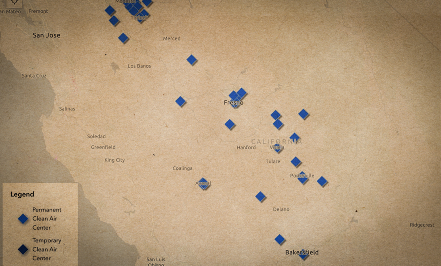
June 24, 2024 – Clean Air Centers Maps Shows Where to Find Relief from Wildfire Smoke: The California Air Resources Board announced the launch of an interactive, statewide map that offers a one-stop-shop for information about the location and services available at Clean Air Centers. Clean Air Centers will offer Californians who don’t have access to adequate air filtration a safe place to go during periods of heavy smoke. Built in collaboration with local air quality control districts, the online map makes it possible to see where Clean Air Centers are located and provides easy-to-access information, including operating hours, contact information and on-site resources like free Wi-Fi.
CAL FIRE Updates Wildfire Preparedness Website: In preparation for the fire year, CAL FIRE has updated the ReadyForWildfire.org site. This one-stop-shop provides advice and guidance on everything from home hardening and defensible space, to what to pack for evacuation, to what California is doing to enhance and protect forest health.
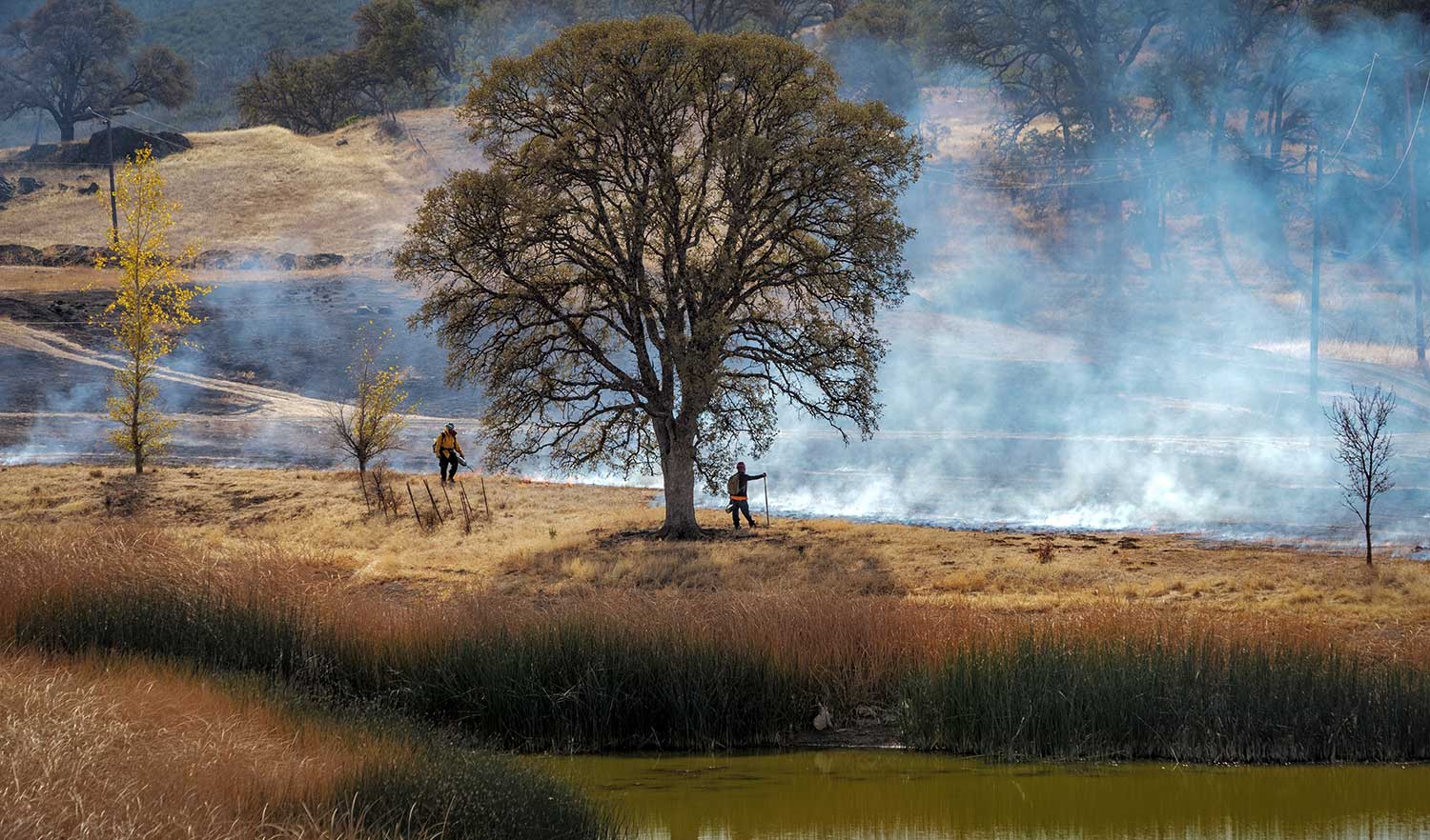
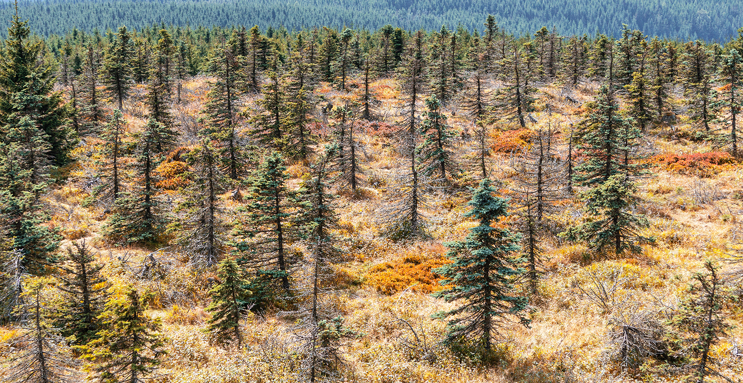
California National Forests Complete Record Number of Prescribed Fire Acres
California National Forests Complete Record Number of Prescribed Fire Acres
As of June 24, 2024 the USFS has treated 63,878 acres with prescribed fire on national forests in California. The previous record was set in 2018 when 63,711 acres were treated. USFS fire managers are using prescribed fire to reduce hazardous fuels and reduce threats to communities from extreme fires. Reintroducing fire also minimizes the spread of pest insects and disease, recycles nutrients back to the soil, and improves natural conditions for native flora and fauna.

SNC Adopts Five-Year Strategic Plan and Supports Four Forest Resilience Projects
SNC Adopts Five-Year Strategic Plan and Supports Four Forest Resilience Projects
On June 6, the Sierra Nevada Conservancy (SNC) approved a new 2024 Strategic Plan that will guide the development of programs, policies, and actions to improve the environmental, economic, and social well-being of California’s Sierra-Cascade region. Additionally, SNC is awarding $6 million to four different projects to help with the planning and implementation of forest health efforts. All four projects will promote recovery and resilience to disturbances, such as wildfire, in the Sierra-Cascade.

The Next Task Force Meeting is this Friday, July 12th
The Next Task Force Meeting is this Friday, July 12th
Join us in person in Sacramento (no registration needed) or remotely via Zoom. The agenda will include an update on the current fire season from CAL FIRE Director Joe Tyler, a report on state and federal budget allocations from Task Force Director Patrick Wright, and a session on aligning and coordinating state, federal and private funding to better support regional priorities.
Friday, July 12, 2024 – 9:00 AM to 12:15 PM
In person: CA Natural Resources Agency Auditorium, 715 P St., Sacramento, CA
Online: Register for Zoom
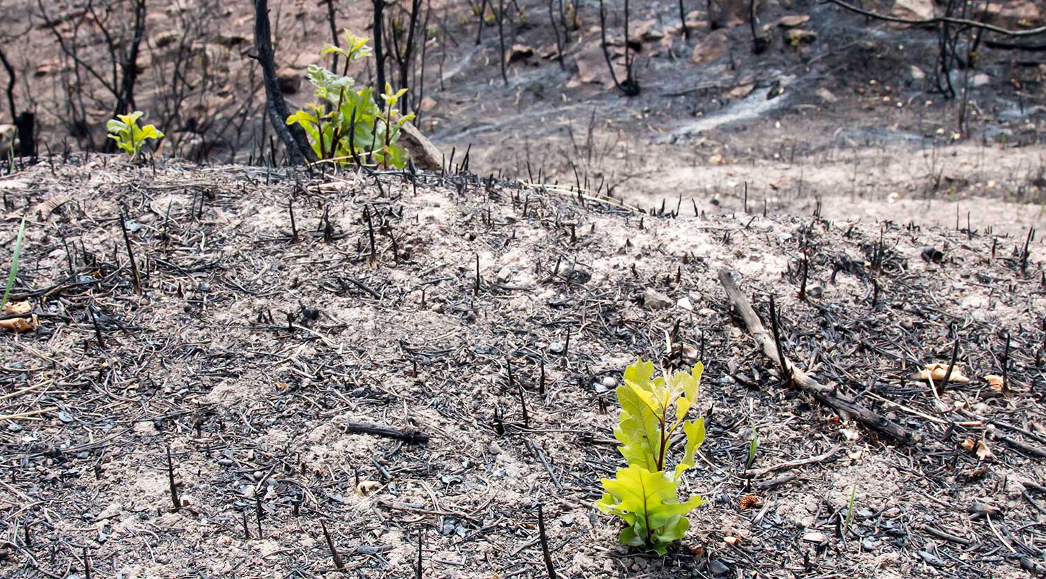
New Reports on Post-fire Restoration & Public Health Impacts of Wildfire
New Reports on Post-fire Restoration & Public Health Impacts of Wildfire
New Report on Emergency Forest Restoration Teams: Small private landowners often lack the funding, expertise, or time to undertake restoration work. To address these barriers, California’s Wildfire and Forest Resilience Action Plan called for the establishment of Emergency Forest Restoration Teams (EFRTs). In June, 2024 a report on lessons learned was released from three pilot EFRTs that were developed in late 2021 in response to the Dixie, Tamarack and Caldor Fires. The report provides key recommendations for future EFRTs to be successful.
New Report on the Public Health Impacts of Wildfire: This new scoping report covers the intersections of wildland fire and public health. Developed by UC Berkeley’s Center for Law, Energy, & the Environment in partnership with the Climate and Wildfire Institute, the report investigates key issues in the physical and mental health impacts of wildfire, provides an overview of the current state and federal policy landscape, and presents key recommendations for future resilience.
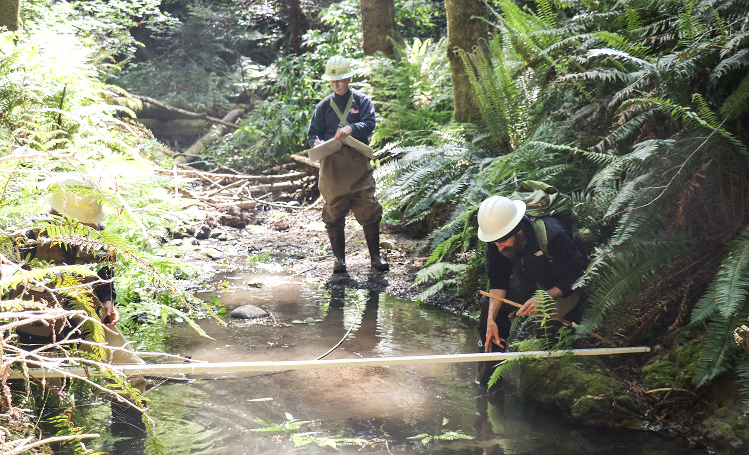
CAL FIRE Announces Cutting Edge Scientific Research Grants
CAL FIRE Announces Cutting Edge Scientific Research Grants
CAL FIRE’s Forest Health Research Program has awarded $4.4 million to support 13 scientific research studies that will improve our understanding of fire severity, post-fire restoration, and effectiveness of forest treatments. The scientific information generated from the program will support the efforts of the California Wildfire and Forest Resilience Task Force and is critical for effective forest and fire management.
Proposed Regulation Aims to Expand Insurance Coverage in High Wildfire Risk Areas
Proposed Regulation Aims to Expand Insurance Coverage in High Wildfire Risk Areas
On June 12, the California Department of Insurance announced a new draft regulation to get more insurance coverage options for Californians in areas particularly threatened by wildfires. This new regulation will require that insurers that use new catastrophe modeling must write more policies in distressed areas, with larger insurance companies required to insure properties in distressed areas at a rate equal to 85% of the insurer’s statewide market share. Governor Newsom provided his support for the regulation, which is part of the Sustainable Insurance Strategy, a package of reforms to strengthen California’s marketplace and maintain strong consumer protections.

NFWF Announces 9 Large Watershed Planning Grants Totaling $53 Million for California National Forests
NFWF Announces 9 Large Watershed Planning Grants Totaling $53 Million for California National Forests
On June 24, the National Fish and Wildlife Foundation (NFWF) announced $53 million in grants to protect and restore forests and watersheds in California using voluntary, targeted headwater resilience planning and monitoring. The grants leverage $31.4 million in matching contributions, for a total conservation impact of $84.4 million. The awards were made possible by a first-of-its-kind agreement between the USDA Forest Service and NFWF. This effort pools multiple funding sources from public and private organizations to meet the level needed for effective landscape-scale projects to tackle California’s wildfire crisis.
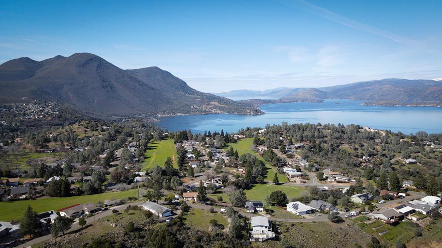
Lake County Leverages Federal Support for Local Action
Lake County Leverages Federal Support for Local Action
The Clear Lake Environmental Research Center (CLERC) is utilizing a $9.8 million Community Wildfire Defense Grant from the USFS to give Lake County a much needed boost to reduce wildfire risk. With this grant, CLERC brought together multiple rural fire protection districts to clear overgrown brush from roadsides and support a brush chipping program that assists landowners with vegetation removal from their property. One of CLERC’s foundational principles is to hire local and ensure every dollar stays in the county. This project provides a blueprint on effectively leveraging federal funding to protect high fire risk areas in a way that incorporates place-based expertise and supports local economic growth.