
New Report On Effects of Forest Management on Carbon Storage
New Report on Effects of Forest Management on Carbon Storage in California
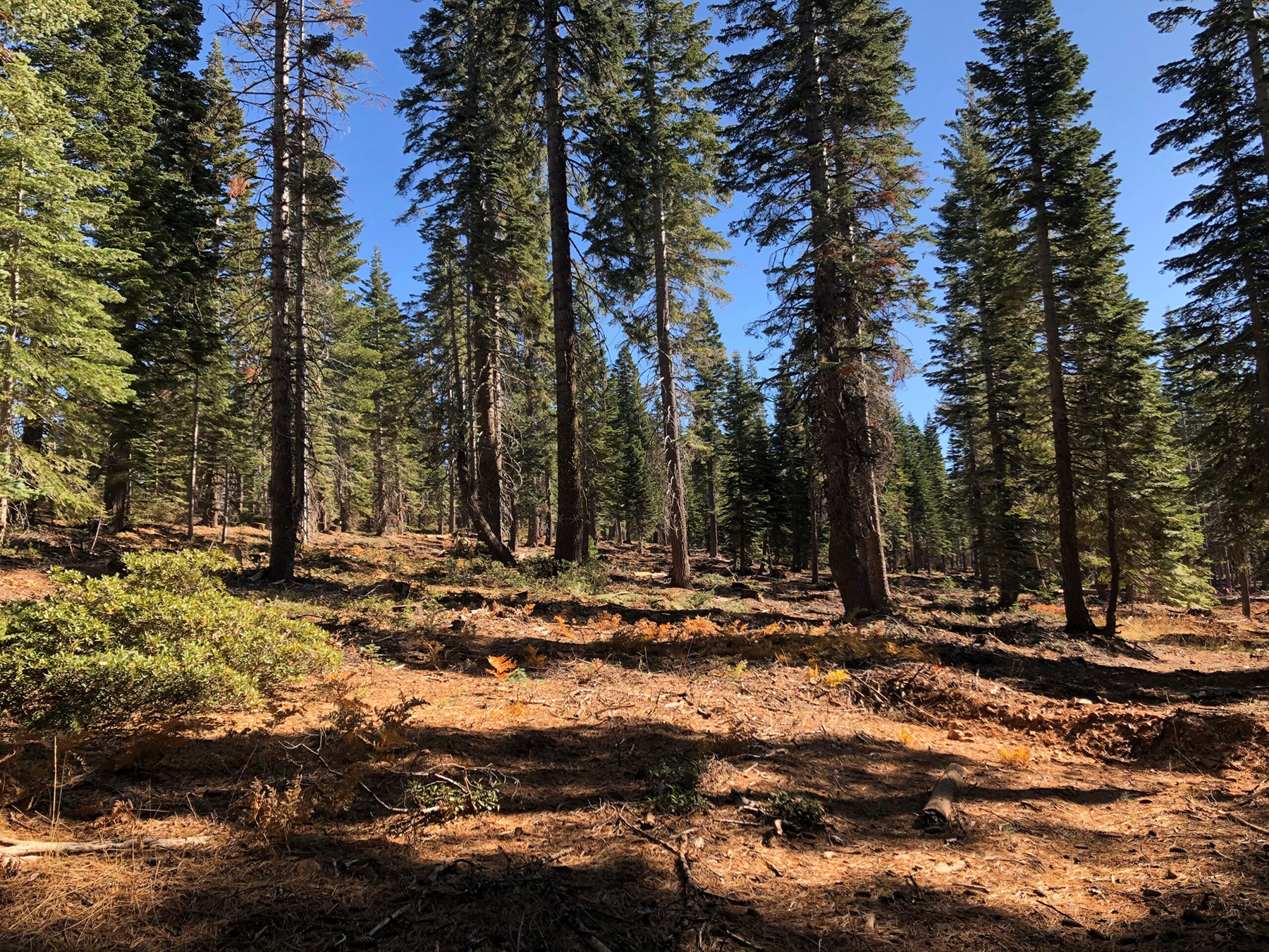
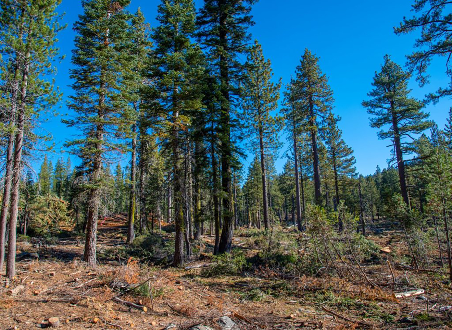
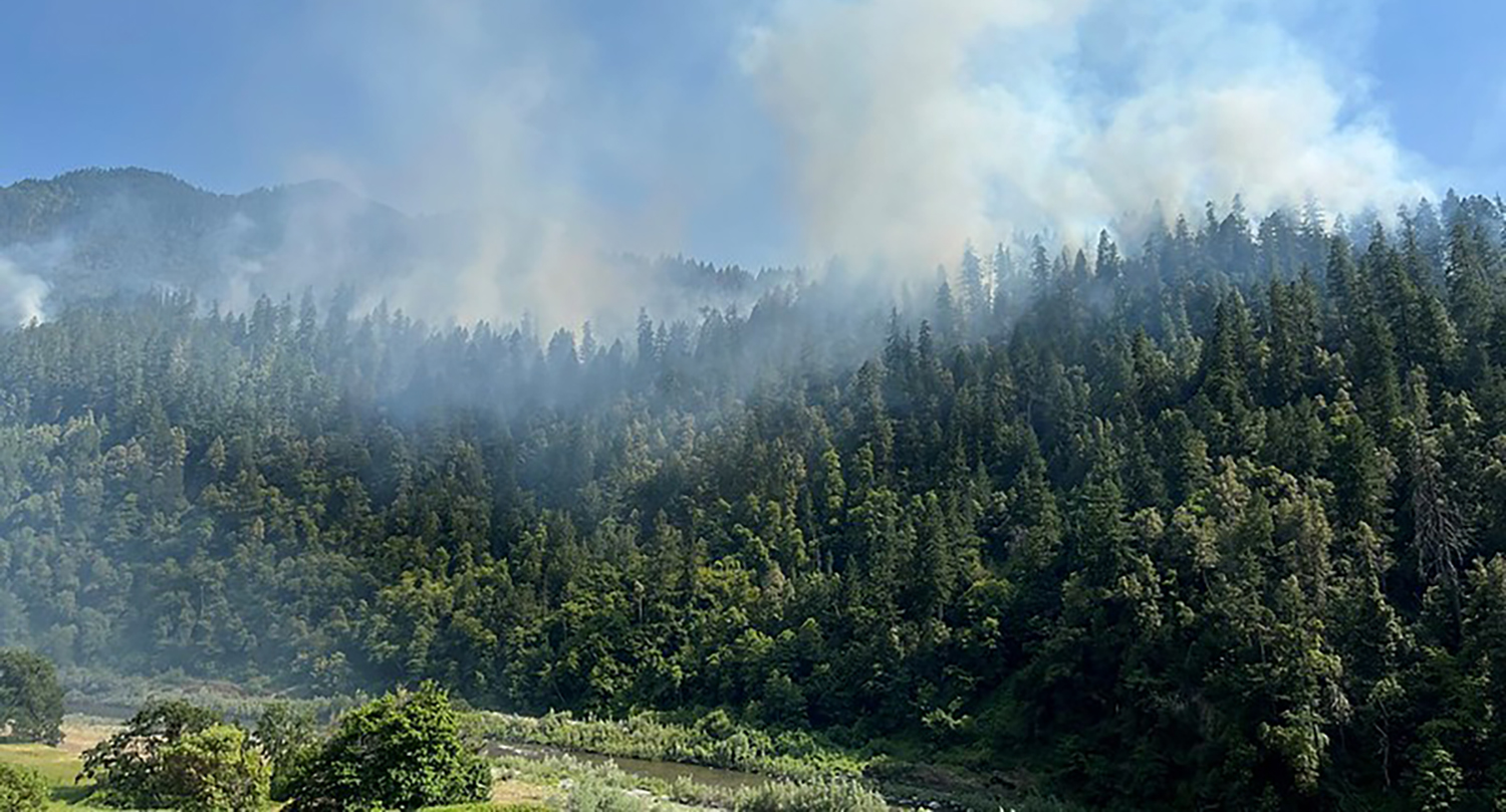
February 18, 2025 – American Forests, USFS, CAL FIRE, The Northern Institute of Applied Climate Science, and Michigan State University recently released a collaborative report on the effects of forest management and wood utilization on carbon sequestration and storage in California. The report provides comprehensive forest sector carbon modeling results, estimated treatment costs, wood product revenue, and wood processing capacity constraints for a broad range of forest management scenarios to help identify climate-smart forestry (CSF) practices. The modeling results provide information about forest climate mitigation and adaption opportunities that will be utilized to help inform the 2025 California Wildfire and Forest Resilience Task Force Action Plan
Notably, the report:
- Identifies 11 million acres in California as having high or very high wildfire hazard potential.
- Emphasizes the importance of wood utilization to improve carbon benefits.
- Predicts that under a business-as-usual scenario, California could lose up to up to 48% of forest area & 50% of forest carbon by 2071.
- Models scenarios that include a portfolio of actions that drastically reduce predicted losses to forest areas and forest carbon.
Task Force Releases 2025 Key Deliverables
Task Force Releases 2025 Key Deliverables to Outline California’s Top Priorities Underway to Increase Wildfire Resilience
March 24, 2025 – The Task Force released its 2025 Key Deliverables, which include California’s top priorities and initiatives now underway to continue promoting wildfire and community resilience across the state.
The deliverables outline the highest priority actions underway this year to achieve the commitments in the 2021 Wildfire and Forest Resilience Action Plan and to advance key new initiatives that will be highlighted in the forthcoming update of the Action Plan to be released later this year.
The deliverables focus on actions that will improve home and community wildfire resilience, expand landscape-scale resilience programs, streamline regulatory processes, expand timber production and more.
Task Force Director Patrick Wright provided an overview of the 2025 Key Deliverables during the Director’s Report at the March 27 Spring Region Meeting. Click under Resources to the see the video.

Governor Newsom Signs Executive Order to Further Improve Community Hardening
Governor Newsom Signs Executive Order to Further Improve Community Hardening and Wildfire Mitigation
On February 6, Governor Newsom signed an executive order to launch key initiatives to continue adapting to future wildfires and strengthen community resilience to urban conflagration (large destructive fires that spread beyond natural or artificial barriers wherein structures themselves become the fuel that spreads the fire). The executive order:
- Directs the State Board of Forestry to accelerate its work to adopt regulations known as “Zone 0,” which will require an ember-resistant zone within 5 feet of structures located in the highest fire severity zones in the state.
- Tasks the Office of the State Fire Marshal with releasing updated Fire Hazard Severity Zone maps for areas under local government responsibility, adding 1.4 million new acres of land into the two higher tiers of fire severity, which will update building and local planning requirements for these communities statewide.
- Requires CAL FIRE and Cal OES to work with local, federal and tribal partners on improvements to the Federal resource ordering system for wildfire response.
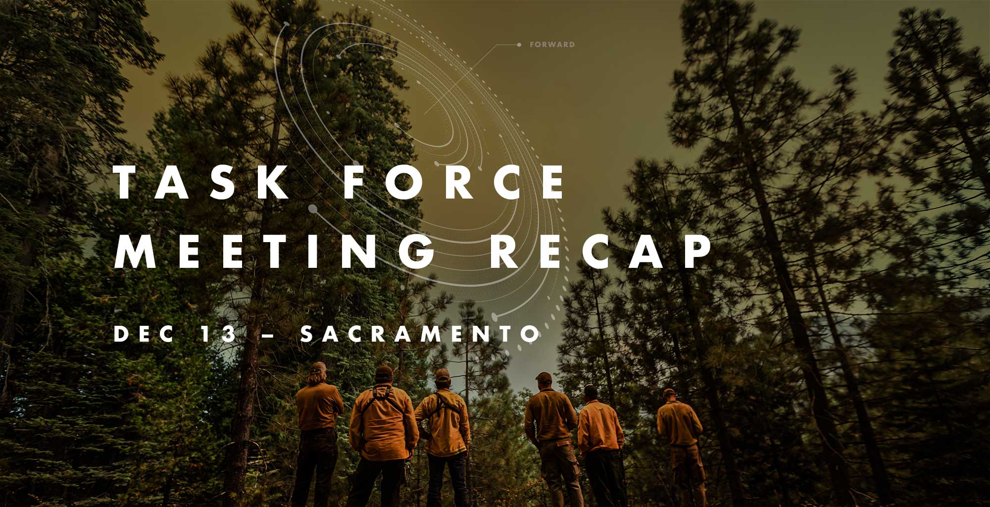
Leading Scientists Shared Latest Findings on Wildfire Resilience at December 13 Meeting. Recap Now Available.
SACRAMENTO TASK FORCE MEETING RECAP
December 13, 2024
The Task Force quarterly meeting at the California Natural Resources Agency in Sacramento featured leading scientists discussing their findings on what is working and what we need to improve on to address California’s wildfire crisis.
The lively and candid conversations challenged California’s climate leaders to take a hard look at existing priorities and ensure the latest science is being used to inform the state’s policies to reduce the risks of catastrophic wildfire and restore healthy natural landscapes in the face of climate change. Findings shared at the meeting were part of a Science Synthesis that will help inform the Task Force’s 2025 Action Plan.
Highlights Include:
Forest & Rangeland Assessment: Jamie Lydersen from CAL FIRE provided a preview on the upcoming release of an updated FRAP report that informs leaders and land managers at a statewide level using data-based indicators to show current state and recent trends on California forests and rangelands.
Synthesis of Science
Through a series of panel discussions, members of the Task Force’s Science Advisory Panel provided highlights from a synthesis of scientific findings since 2021 on issues related to wildfire and landscape resilience that will help inform the Task Force’s 2025 Action Plan. Topics covered included:
- How did we get here and why does it matter?
- What have we learned about what works and where we go from here?
- Part 1: Landscape Resilience & Community Protection
- Part 2: Post-Fire Considerations
Welcome & Executive Remarks
Co-chairs
- Wade Crowfoot, California Natural Resources Agency
- Jennifer Eberlien, U.S. Forest Service
Task Force Executive Committee
- Anale Burlew, CAL FIRE
- Joe Stout, Bureau of Land Management
- Katy Landau, California Environmental Protection Agency
- Don Hankins, Indigenous Stewardship Network
- Abby Edwards, Office of Land Use and Climate Innovation
- Doug Teeter, Rural County Representatives of California
Director’s Report
Director’s Report
Patrick Wright, Wildfire and Forest Resilience Task Force
Forest and Rangeland Assessment
Forest and Rangeland Assessment
Jamie Lydersen, CAL FIRE
Science Synthesis: How did we get here and why does it matter?
Science Synthesis: How did we get here and why does it matter?
Moderator: Steve Ostoja, USDA Climate Hub
Chris Fettig, U.S. Forest Service, Pacific Southwest Research Station
Lenya Quinn-Davidson, U.C. Agriculture & Natural Resources
Science Synthesis: What have we learned about what works and where we go from here?
Part 1: Landscape Resilience & Community Protection
Moderator: Steve Ostoja, USDA Climate Hub
Emily Schlickman, U.C. Davis
Scott Stephens, U.C. Berkeley
Malcolm North, U.S. Forest Service, Pacific Southwest Research Station
Science Synthesis: What have we learned about what works and where we go from here?
Part 2: Post-Fire Considerations
Moderator: Malcolm North, U.S. Forest Service, Pacific Southwest Research Station
Brandon Collins, U.S. Forest Service
Dana Walsh, U.S. Forest Service
Don Lindsay, California Department of Conservation
Closing Remarks
Task Force Executive Committee
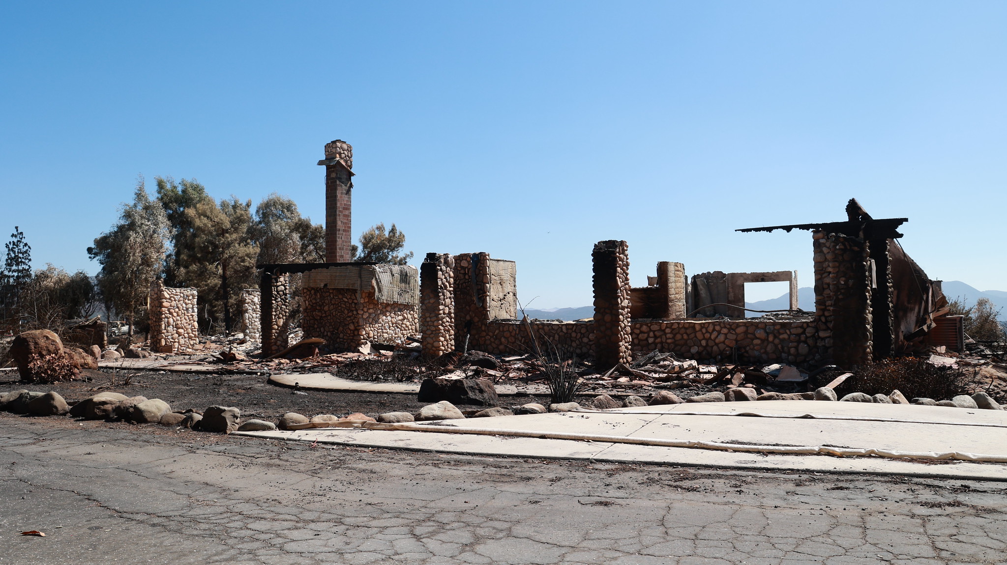
State Commission Adopts Report on Wildfire Insurance Crisis
State Commission Adopts Report on Wildfire Insurance Crisis
November 7, 2024 – The nonpartisan Little Hoover Commission adopted a report on California’s ongoing property insurance crisis which was issued for public review earlier in the week. The report, which was developed over the course of 2024 through hearings, interviews, and public comment from impacted stakeholders, contains several recommendations to state lawmakers for addressing California’s insurance crisis for areas with high wildfire risk, including:
- Allowing insurers to use catastrophe models for pricing, but requiring that wildfire mitigations performed by homeowners are reflected in those models;
- Creation of an independent panel of experts to evaluate the usage of those models, rather than relying on the California Department of Insurance’s internal processes; and,
- Forming a state working group of wildfire experts to develop a minimum set of wildfire mitigation standards for homeowners and communities to undertake.
Meeting Showcases California's Momentum Toward Wildfire Resilience
Meeting Showcases California's Momentum Toward Wildfire Resilience
October 10, 2024
At the Task Force’s most well-attended meeting to-date, nearly 500 people gathered in South Lake Tahoe (and over 300 joined online) for the Sierra Nevada Regional Meeting. Hosted by the California Tahoe Conservancy and Tahoe Fund, the meeting featured several new tools that will revolutionize how California tracks and communicates progress toward improving wildfire and landscape resilience. Other topics covered included progress being made in the Tahoe Basin and the benefits of landscape fuels treatments to vibrant ecosystems and economically thriving communities.
REGIONAL MEETING AGENDA HIGHLIGHTS
• Director’s Report: Director Wright provided an update on recent accomplishments and investments in the Sierra Nevada and a preview of the 2025 Action Plan.
• Statewide Progress on Wildfire Resilience Efforts
– Interagency Treatment Dashboard
– Core Reporting Metrics
– Treatment Effectiveness.
• State & Regional Presentations
– Protecting & Restoring Tahoe: Tahoe partners shared their progress and priorities for advancing state, regional, and local goals through the Environmental Improvement Program.
– Focus on Wildlife – A Vision for Vibrant Ecosystems: A panel of state and regional leaders discussed next steps for evolving large-landscape projects to promote comprehensive climate, watershed, and wildlife benefits.
– Focus on Recreation – A Vision for Thriving Communities: A panel of regional leaders discussed how Sierra partners are broadening planning and implementation to promote recreation and rural economies.
Welcome & Opening Remarks
• Wade Crowfoot, CA Natural Resources Agency
• Kara Chadwick, US Forest Service
• Serra Smokey, Washoe Tribe of NV & CA
• James Settelmeyer, NV Dept. Conservation & Natural Resources
• Joe Tyler, CAL FIRE
Director's Report
• Patrick Wright, Task Force
Statewide Progress on Wildfire Resilience Efforts
Moderator: John Battles, UC Berkeley
• Alan Talhelm and Emily Brodie, CAL FIRE
• MV Eitzel, UC Davis
• Frank Bigelow, CAL FIRE
Tools:
• Monitoring, Reporting & Assessment Page
• Interagency Treatment Dashboard
• CAL FIRE’s Fuels Treatment Effectiveness Reports
Protecting & Restoring Tahoe
• Kacey KC, Nevada Division of Forestry
• Jason Vasques, Tahoe Conservancy
• Julie Regan, Tahoe Reg. Planning Agency
Focus on Wildlife – A Vision for Vibrant Ecosystems
Moderator: Erin Ernst, Tahoe Conservancy
• Stephanie Coppeto, US Forest Service
• Rachel Henry, US Fish & Wildlife Service
• Rich Adams, CA State Parks
• Rhiana Jones, Washoe Tribe of NV & CA
• Meghan Hertel, CA Natural Resources Agency
Focus on Recreation – A Vision for Thriving Communities
Moderator: Danna Stroud, GoBiz
• Amy Berry, Tahoe Fund
• Stew McMorrow, CAL FIRE
• Luke Hunt, Sierra Nevada Conservancy
• Michelle Abramson, Sierra Buttes Trails
• John Wentworth, MLTPA
Closing Remarks
• Task Force Co-Chairs
Recap of Sacramento 7/12 Task Force Meeting
SACRAMENTO TASK FORCE MEETING RECAP
July 12, 2024
The Task Force held its quarterly meeting at the California Natural Resources Agency in Sacramento and live on Zoom. CAL FIRE Director Joe Tyler provided an update on the current fire season and Task Force Director Patrick Wright reported on state and federal budget allocations. Then several panels of statewide and regional leaders discussed challenges and next steps for aligning and coordinating state, federal, and private funding to better support regional priority needs and increase program sustainability.
Moderated by Forest Schafer, State Coordinator with the Task Force, panels focused on three key areas related to Aligning Regional Investments:
- State & Federal Frameworks
- Expanding Partnerships
- Regional Approaches
Welcome & Executive Remarks
Co-chairs
- Wade Crowfoot, CA Natural Resources Agency
- Jennifer Eberlien, U.S. Forest Service
Task Force Executive Committee
- Patrick Wright, Wildfire & Forest Resilience Task Force
- Joe Tyler, CAL FIRE
- Valerie Hipkins, USFS Pacific Southwest Research Station
- Sam Assefa, Governor’s Office of Planning and Research
- Ed Valenzuela, California State Association of Counties
- Katy Landau, CalEPA
Director’s Report
- Patrick Wright, Wildfire and Forest Resilience Task Force
Aligning Regional Investments
State & Federal Frameworks
- Liz Berger, U.S. Forest Service
- Trevor McConchie, Washington State Department of Natural Resources
- Mary McDonnell, California Department of Conservation
- Shannon Johnson, CAL FIRE
Expanding Partnerships
- Chris Morrill, National Fish & Wildlife Foundation
- Michelle Wolfgang, Eldorado National Forest
- Sashi Sabaratnam, PG&E
- Eric Tsai, California Department of Water Resources
Regional Approaches
• Brittany Covich, Sierra Nevada Conservancy
• Karen Gaffney, North Coast Resource Partnership
• Heather Marlow, RCD of Greater San Diego
Closing Remarks
- Task Force Executive Committee
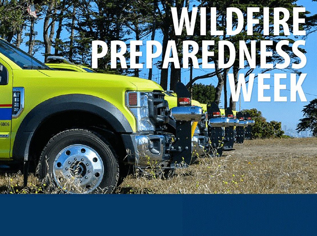
Wildfire Preparedness Week – Meeting the Mission Through Partnerships
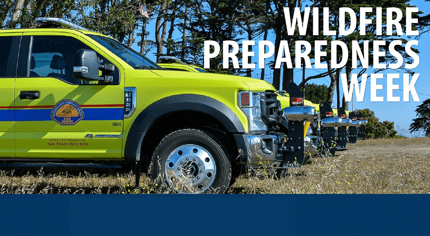
Wildfire Preparedness Week – Meeting the Mission Through Partnerships
May 5, 2024 – Governor Newsom issued a proclamation declaring May 5-11, 2024 as California’s “Wildfire Preparedness Week.” This year’s Wildfire Preparedness Week theme, Meeting the Mission Through Partnerships, emphasizes the importance of collaboration and collective responsibility in reducing and managing wildfire risk. California Governor’s Office of Emergency Services (CAL OES) and CAL FIRE will be hosting a series of events to provide valuable wildfire safety and preparedness tips in Sacramento, San Mateo, San Luis Obispo, and Orange counties. Federal partners in California, including the USFS, National Park Service, BLM, and Bureau of Indian Affairs, are launching an online campaign focused on wildland fire safety and prevention while recreating on public lands.
At the community level, Californians can make their neighborhoods safer by creating defensible space around homes, hardening homes, developing wildfire action plans and teaming up to join Fire Safe Councils and Firewise Communities, which work to regularly assess wildfire risk and prioritize action to address it. Visit ReadyForWildfire.org to learn about steps to prepare for wildfire season and help prevent loss of life and property and explore the Task Force’s webpage dedicated to advancing Fire Adapted Communities.
Karuk Tribe Showcases Indigenous Stewardship’s Role in Forest Resilience
Karuk Tribe Showcases Indigenous Stewardship’s Role in Forest Resilience
The Karuk Tribe teamed up with Oregon State University (OSU) researchers to create a novel computer simulation model that showcases Indigenous fire stewardship’s role in forest ecosystem health. The project explored the impact of cultural burning at a landscape scale, focused on 1,000 square miles of Karuk Aboriginal Territory in the western Klamath Mountains of northern California.
The Karuk Tribe Department of Natural Resources and OSU scientists developed historical estimates for cultural ignition locations, frequency, and timing, which showed that cultural burning was extensive across the landscape, with an estimated 6,972 cultural ignitions occurring annually, averaging about 6.5 ignitions per year for each Indigenous fire steward. It is important to note that this information is not new and has been held by Karuk Tribal members for millennia.
120,000 Acres Added to California National Monuments
120,000 Acres Added to California National Monuments
May 2, 2024: On May 2, President Biden signed proclamations expanding the San Gabriel Mountains and Berryessa Snow Mountain National Monuments. Together, these actions will protect nearly 120,000 acres of lands in California of scientific, cultural, ecological, and historical importance. This will expand federal wildfire management programs and response to these newly added lands.
105,919 acres of U.S. Forest Service lands will be added to San Gabriel Mountains National Monument. The proclamation directs the U.S. Forest Service to manage the area according to the same terms, conditions, and management as the original national monument designation and calls for development of a management plan for the expansion area that incorporates Indigenous Knowledge and community input.
13,696 acres will be added to Berryessa Snow Mountain National Monument. The proclamation directs the Bureau of Land Management to manage the area according to the same terms, conditions, and management as the original national monument designation and directs the Secretary of the Interior to explore co-stewardship of the area with Tribal Nations.