
California Unveils First-ever Statewide LiDAR Maps
December 12, 2025 – The California Natural Resources Agency (CNRA), in partnership with the California Air Resources Board (CARB), NASA Ames Research Center, and the Wildfire and Forest Resilience Task Force announced the public release of consistent, statewide datasets on forest and vegetation conditions built from LiDAR, the gold standard for forest and vegetation information. This release is powered by the Wildfire, Ecosystem Resilience, and Risk Assessment Initiative (WERK) which has processed more than 100 million acres of LiDAR data across California. That total includes 40 million acres collected through CNRA’s use of $30M dedicated by the State Legislature for wildland remote sensing. For the first time, California has a single wall-to-wall picture of forest and vegetation conditions that is the highest resolution available and consistent across the entire state. Agencies, tribes, researchers, land managers, and community partners can begin incorporating the released products into their own tools, models, and planning processes immediately.
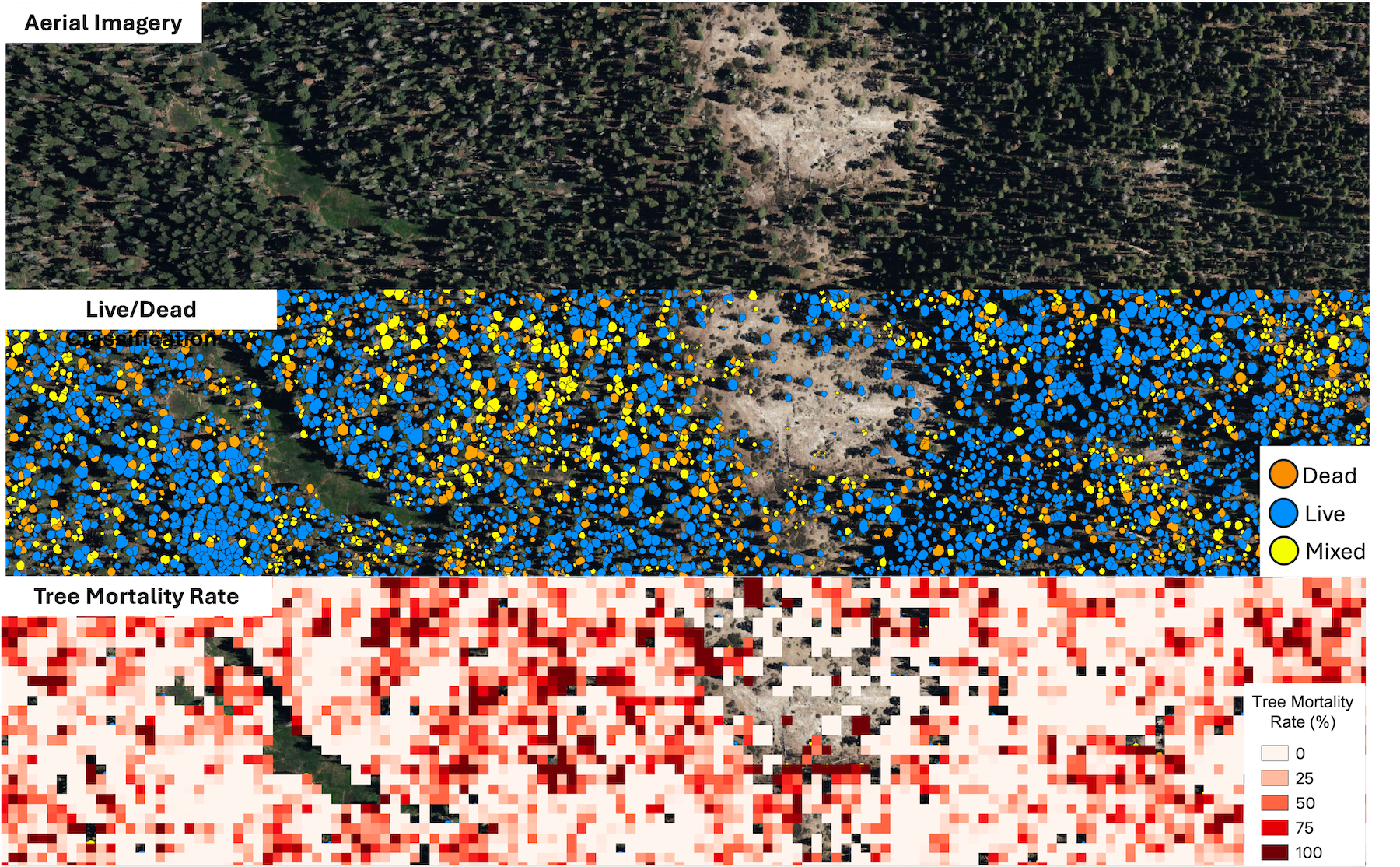
LiDAR (light detection and ranging) creates detailed three-dimensional maps of the landscape. Using LiDAR, the WERK initiative provides information on where trees and shrubs are, how tall and dense they are, where ladder fuels can carry fire into the canopy, and how much carbon is stored in vegetation. The statewide release includes 10-meter and 30-meter resolutions datasets that cover all of California. In addition, 1-meter datasets are already available in select areas, with statewide access to ultra-high resolution data launching in early 2026.
The WERK datasets are being hosted in partnership with the Wildfire Science & Technology Commons at the San Diego Supercomputer Center, supported by the National Science Foundation. These products will also be incorporated into the Task Force’s California Landscape Metrics beginning with the next data refresh.