2023 Year in Review

Thank you for being interested and involved in wildfire and landscape resilience efforts in California. Here’s a brief review of 2023 and a preview of what's ahead in 2024. The Task Force Team wishes you and your families a safe, happy and healthy 2024.


2023 highlights


Fog Covered Trees with Transparent Map of California on Top

Regional Resource Kits Finalized

Regional Profiles and Regional Resource Kits are now available for all four regions of California. The kits bring together the scientific data needed to help regional entities plan, prioritize and monitor projects.

Learn More

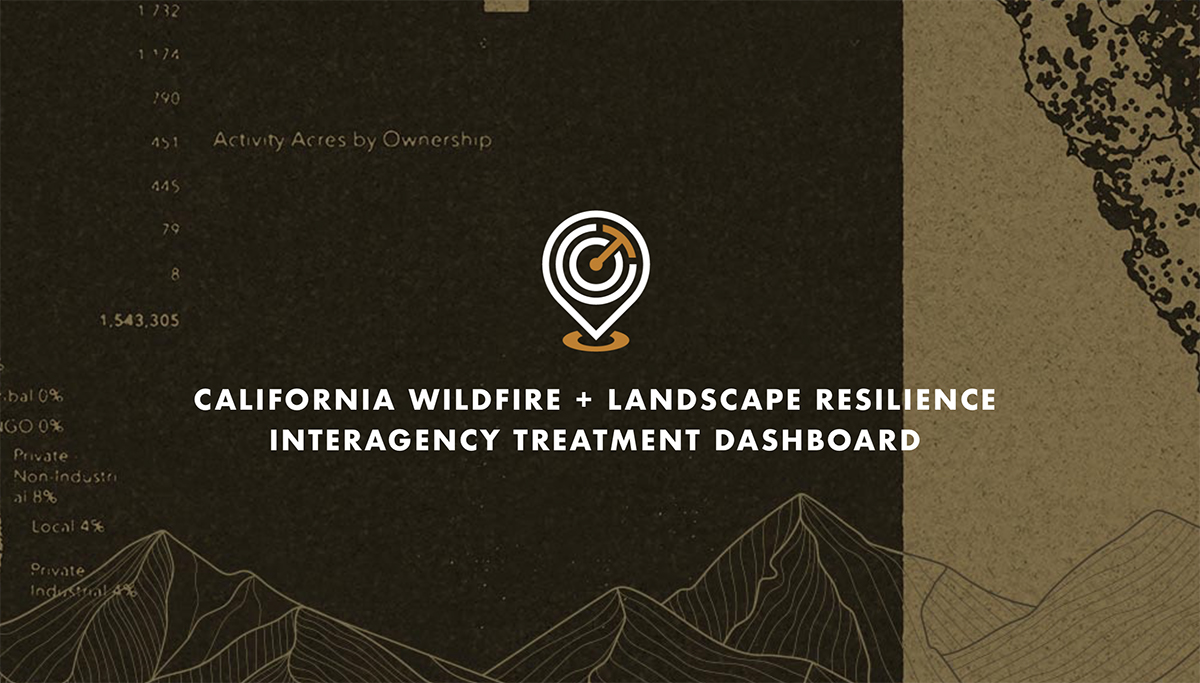
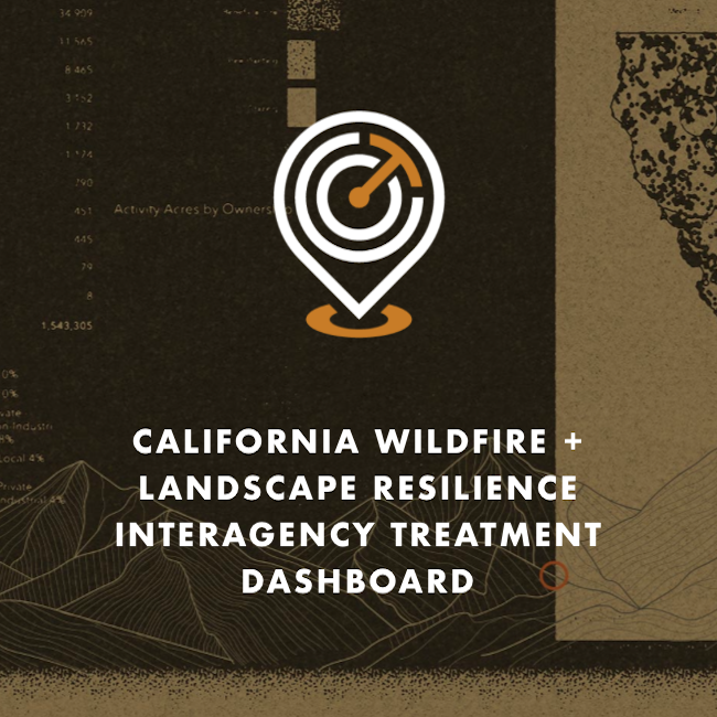
Treatment Dashboard Launched

The Wildfire & Landscape Resilience Interagency Treatment Dashboard is a highly interactive online tool that displays the location and size of wildfire and landscape resilience treatments throughout the state, helping to guide practitioners on where to plan new projects. 

Learn More

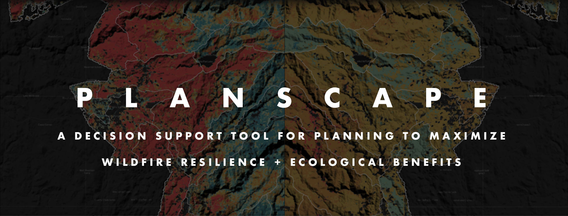
Planscape Beta Available

With a full launch expected in 2024, Planscape can be accessed now to test the early functionality and share feedback. This unique wildfire resilience decision support tool helps regional planners prioritize landscape treatments to mitigate fire risk, maximize ecological benefits, and help landscapes adapt to climate change. 

Learn More

Joint Strategies Completed for Beneficial Fire and Sustainable Outdoor Recreation

Task Force Work Groups completed and launched their Joint Strategies as required in California’s Wildfire & Forest Resilience Action Plan. Click below to see them, and look forward to Reforestation Pipeline, Resilient State Lands and Private Landowner strategies to be published in early 2024.

Beneficial FireSustainable Outdoor Recreation

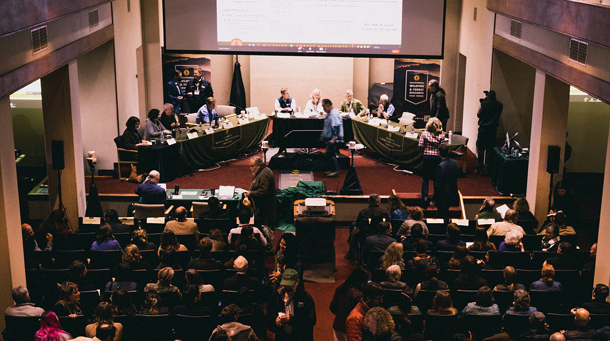
Regional Meetings in Southern, Central and Northern California

There’s no better way to align resources than bringing people together to focus on regionally specific issues. Three regional meetings were held in 2023, and three more in Sacramento. Hundreds of people came away from the meetings having learned new information, and having made new connections, and inspired to make positive change.

Watch All Meetings

spread the word in 2024


Promote the Task Force in Your Communications

The Task Force is an important source of vital information on the combined efforts of those involved in landscape resilience and wildfire prevention in California. Please follow and share Task Force communications when you can.

Learn More

Join us at our Upcoming Meetings

April 4-5: Southern CA Region

June 20: Sacramento

September 26-27: Sierra Region

December 13: Sacramento

View All Meetings

RESOURCES


ABOUT THE TASK FORCE

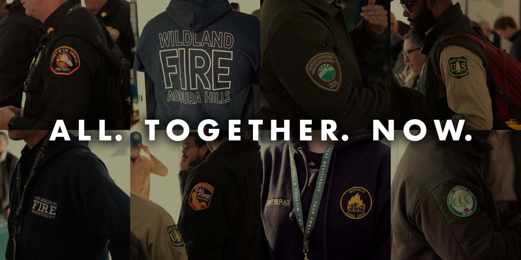
The California Wildfire & Forest Resilience Task Force was created by the Office of Governor Gavin Newsom to directly confront the near perfect storm of climatic and human-caused conditions that have brought the threat of devastating wildfire and its far-reaching effects to the doorstep of nearly everyone in our state, and beyond.

The Task Force is a collaborative effort to align the activities of federal, state, local, public, private, and tribal organizations to support programs and projects tailored to the priorities and risks of each region and bring the best available science to forest management and community protection efforts.

The critical work of the Task Force effects all Californians, and Task Force meetings offer an ideal opportunity for members of the press to hear directly from those involved in the comprehensive, coordinated efforts to reduce the risk of catastrophic wildfires and create safe communities while ensuring healthier, more sustainable natural environments.


Explore the Treatment Dashboard - Take The Survey
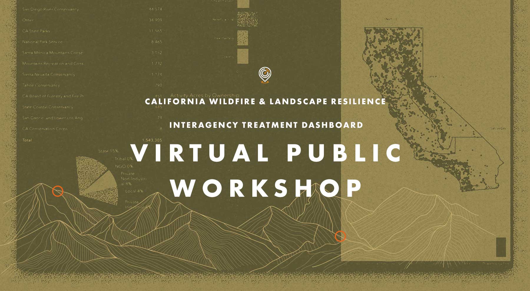
On Tuesday, November 14 the Task Force hosted a Virtual Public Workshop on the CA Wildfire & Landscape Resilience Interagency Treatment Dashboard. The goal of the workshop was to gather input from those using the Treatment Tracking System and Dashboard to improve how data is accessed and displayed, and to ensure we are providing transparency and effective planning information on statewide wildfire resilience treatments. 

If you missed the workshop, or want to look back at what was covered, click on the buttons above to watch a video of the presentation from Alan Talhelm, Assistant Deputy Director for Climate and Energy at CAL FIRE, and a key architect of the Dashboard. You can also view and download Alan’s presentation and take a moment to answer a quick survey for gathering additional  input on how the Dashboard can be most effective.


Statewide Set of Regional Resource Kits Completed with Release of Northern CA Region

Task Force Offers Statewide Set of Regional Resource Kits with Release of Northern CA Region


On October 5, 2023, the Task Force released its fourth and final Regional Resource Kit and Regional Profile for Northern California. This adds to the kits and profiles already available for the Sierra Nevada, Southern California, and Central California Task Force designated regions. Kits provide sets of tools and data created to accelerate the work by regional partners and collaboratives to reduce wildfire hazard and improve the conditions of forested and shrub landscapes. Regional Profiles add socio-ecological context for each region, highlight examples of current condition assessments from the associated kit, and present findings from interviews and surveys about stakeholder priorities and concerns for community and ecosystem resilience.


Fog rolling over hills and meadows, Santa Cruz, California

Northern California Regional Resource Kit

Northern California

Regional Resource Kit

The resource kit contains a core set of data layers that reflect management-relevant metrics for the Northern California region. These data and metrics have been vetted by federal, state, and academic scientists. In total, the Northern California Regional Resource Kit contains 99 metrics selected to be informative, meaningful, and actionable for management.

Additional Details
Most data layers are available at 30 m resolution (i.e. pixels are 30 meters on a side), and some are available at the resolution of the original data set (e.g. the climate refugia data are 270 meter pixel resolution).

Each data layer is available for viewing as an image and the full data can also be downloaded as a zip file. Metadata are also attached to each data layer.


View & Download Data


Framework For Resilience

The metrics are organized by ten desired outcomes, termed “Pillars of Resilience” from the Framework for Resilience. The metrics describe the characteristics of one of the pillars in quantitative or, in a few cases, qualitative terms.

VIEW FRAMEWORK FOR RESILIENCE

Metric Dictionary

A metric dictionary for the Northern California Regional Resource Kit provides details on the nature of each metric. Each metric has been defined to help end-users of the data (and for use with any decision support tools) to understand:

  • What tier the metric is in (1, 2 or 3)
  • Data vintage
  • The definition of a given metric
  • The expected use(s) of the metric
  • The resolution of the developed data
  • The data sources used to derive the metric
  • The method of metric derivation
  • The root file names

References have been included to help the reader understand potential methods for deriving metrics.

VIEW METRIC LIST AND DICTIONARY

Planscape

A decision support tool designed for the needs of the regional planners and collaboratives
(available Q4 2023).

VIEW PLANSCAPE

Fog rolling over hills and meadows, Santa Cruz, California

Central Coast Regional Resource Kit

Central Coast

Regional Resource Kit

The resource kit contains a core set of data layers that reflect management-relevant metrics for the California Central Coast region. These data and metrics have been vetted by federal, state, and academic scientists. In total, the Central Coast Regional Resource Kit contains 61 metrics selected to be informative, meaningful, and actionable for management.

Additional Details
Most data layers are available at 30 m resolution (i.e. pixels are 30 meters on a side), and some are available at the resolution of the original data set (e.g. the climate refugia data are 270 meter pixel resolution).

Each data layer is available for viewing as an image and the full data can also be downloaded as a zip file.


View & Download Data


Framework For Resilience

The metrics are organized by ten desired outcomes, termed “Pillars of Resilience” from the Framework for Resilience. The metrics describe the characteristics of one of the pillars in quantitative or, in a few cases, qualitative terms.

VIEW FRAMEWORK FOR RESILIENCE

Additional Details

All data layers are available at 300 m resolution (i.e. pixels are 300 meter on a side) and some are also available at 30 m resolution. The same data layers are also available rescaled to a value of -1 to +1 to put all data layers in the same units for additional analytical work among metrics and pillars.

Metric Dictionary

A metric dictionary for the Central Coast Regional Resource Kit provides details on the nature of each metric. Each metric has been defined to help end-users of the data (and for use with any decision support tools) to understand:

  • The definition of a given metric
  • The expected use(s) of the metric
  • The resolution of the developed data
  • The data sources used to derive the metric
  • The method of metric derivation
  • The root file names

References have been included to help the reader understand potential methods for deriving metrics.

VIEW METRIC LIST AND DICTIONARY

Planscape

A decision support tool designed for the needs of the regional planners and collaboratives
(available Q2 2023).

VIEW PLANSCAPE

Valley with Map over

Sierra Nevada Regional Resource Kit

Sierra Nevada Regional Resource Kit

The resource kit contains a core set of data layers that reflect management-relevant metrics for the Sierra Nevada region. These data and metrics have been vetted by federal, state, and academic scientists. In total, the Sierra Nevada Regional Resource Kit contains 30 metrics selected to be informative, meaningful, and actionable for management. 


View & Download Data


Framework For Resilience

The metrics are organized by ten desired outcomes, termed “Pillars of Resilience” from the Framework for Resilience. The metrics describe the characteristics of one of the pillars in quantitative or, in a few cases, qualitative terms.

VIEW FRAMEWORK FOR RESILIENCE

Additional Details

All data layers are available at 300 m resolution (i.e. pixels are 300 meter on a side) and some are also available at 30 m resolution. The same data layers are also available rescaled to a value of -1 to +1 to put all data layers in the same units for additional analytical work among metrics and pillars.

Metric Dictionary

A metric dictionary for the Sierra Nevada Regional Resource Kit provides details on the nature of each metric. Each metric has been defined to help end-users of the data (and for use with any decision support tools) to understand:

  • The definition of a given metric
  • The expected use(s) of the metric
  • The resolution of the developed data
  • The data sources used to derive the metric
  • The method of metric derivation
  • The root file names

References have been included to help the reader understand potential methods for deriving metrics.

VIEW METRIC LIST AND DICTIONARY

Planscape

A decision support tool designed for the needs of the regional planners and collaboratives
(available Q2 2023).

PLANSCAPE