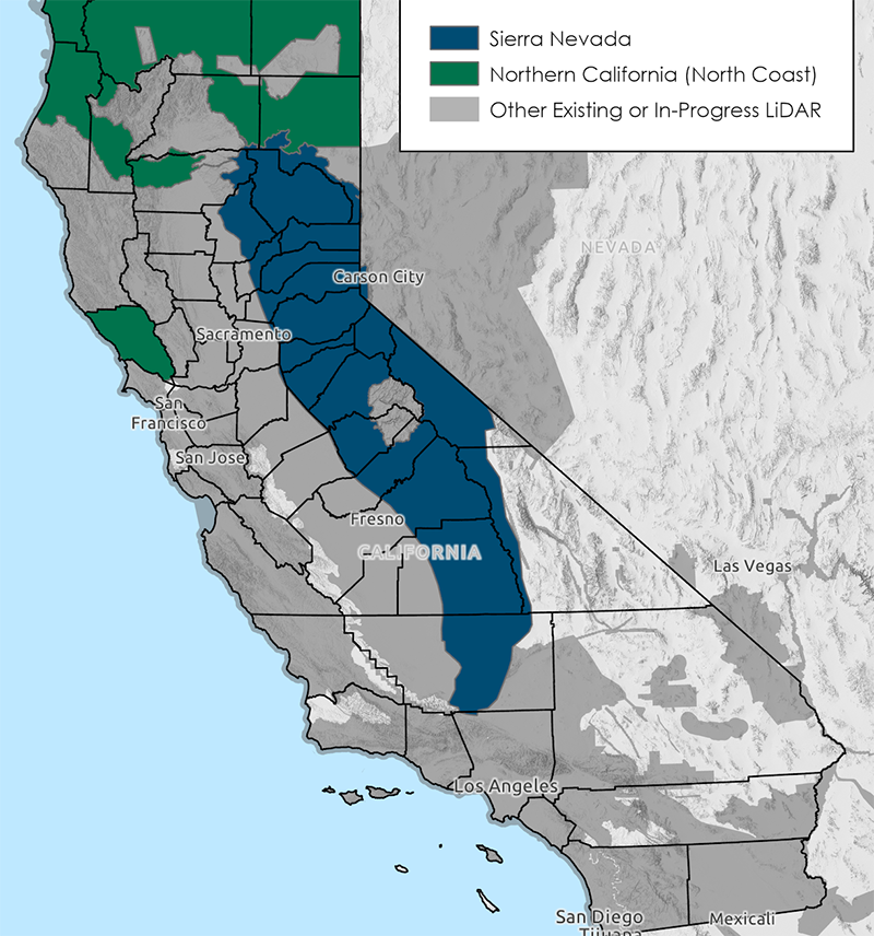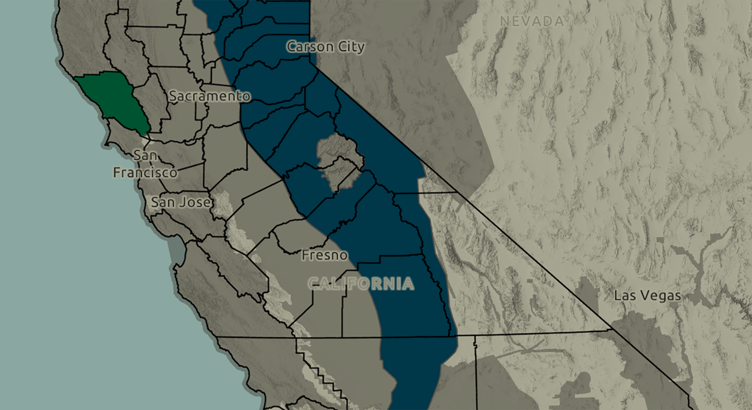
LiDAR Data Collection for Northern California and Sierra Nevada
The California Natural Resources Agency (CNRA), in partnership with the US Geologic Survey’s 3DEP Program and other entities, have now collected nearly 31.5 million acres of LiDAR (Light Detection and Ranging) covering large swaths of Northern California and the Sierra Nevada. These data fill substantial gaps in LiDAR coverage to improve the state’s ability to manage natural resources and protect public safety, directly enhancing our knowledge of forests and landforms in some of the most rugged and fire prone portions of the state. The $3.9M investment by CNRA is a portion of the funding for LiDAR and other remote sensing data that has been made available from funding allocated by the California Legislature (Budget Bill 21/21) .