
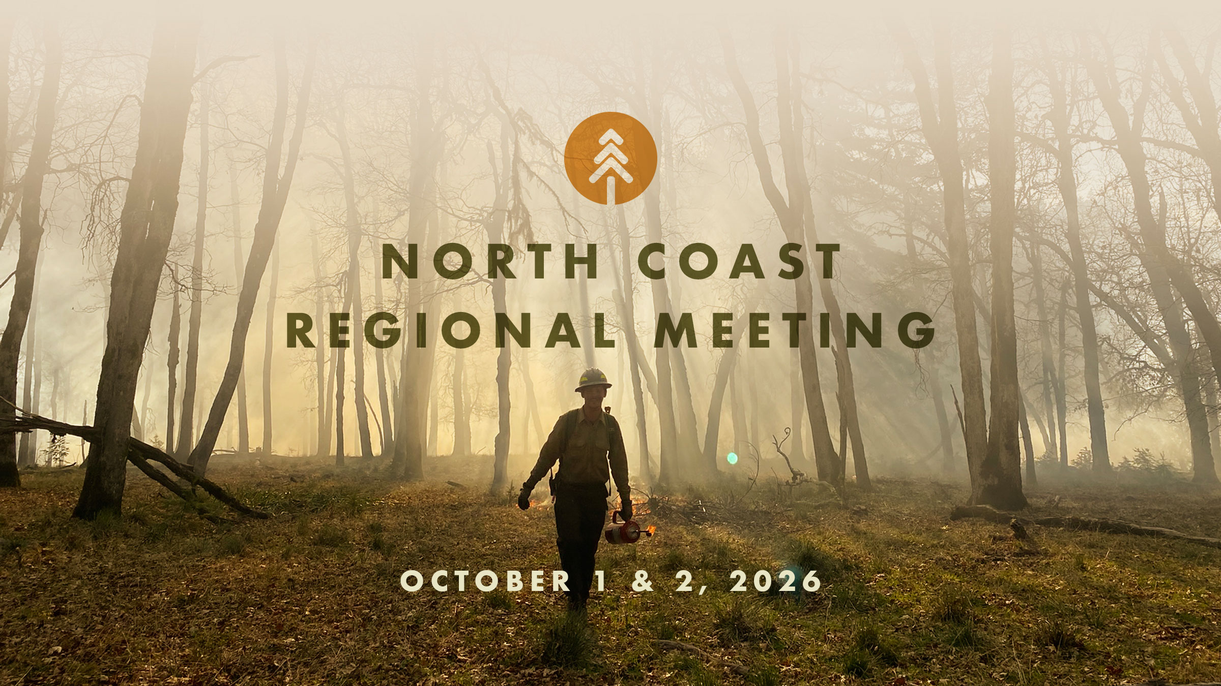
North Coast Regional Meeting – Humboldt County
Join us for the North Coast Regional Meeting on October 1 at the Bear River Recreation Center and adjacent Tish-Non Community Center. Field tours will be held on October 2. The meeting is hosted by the Bear River Band of the Rohnerville Rancheria, North Coast Resource Partnership, Humboldt County RCD, Inner Coast Collaborative, and Northern Sacramento Valley Coalition. Remote attendance is available via Zoom.
The meeting on October 1 will highlight issues of regional importance in the North Coast Region. As usual, we will kick off the day with morning refreshments and a resource fair. On October 2, Task Force partners will host field tours offering immersive opportunities to better understand the critical landscape health and wildfire resilience work being done in the region.
EVENT LOCATION & SCHEDULE
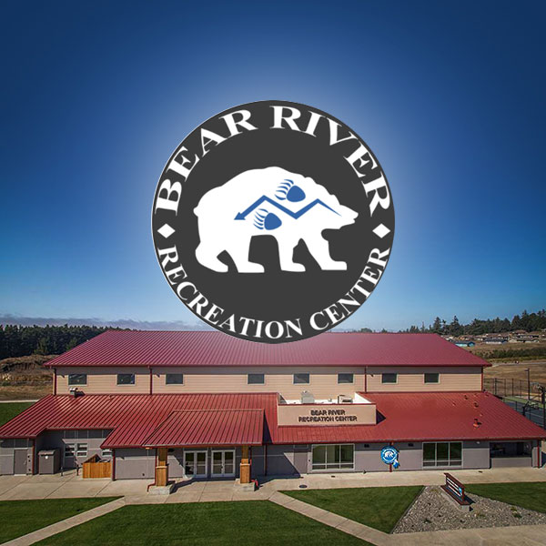
Bear River Recreation Center
265 Keisner RoadLoleta, CA
field tours
More detailed information will be provided after registration
ALL FIELD TOURS ARE FRIDAY, OCTOBER 2
Mail Ridge Wildfire Resilience Project – Humboldt Redwood Company
A 10-year, landscape-scale effort to protect communities and restore forest health along a vital 54-mile ridgeline
Tour the Humboldt Redwood Company (HRC) portion of the Mail Ridge Wildfire Resilience Project, a multi-phased fuel reduction effort along the crest of Mail Ridge, a 54-mile strategic ridgeline in southern Humboldt and northern Mendocino counties. The tour will showcase nearly 200 acres of mechanical and manual treatments and prescribed fire on private industrial timberlands southeast of the confluence of the main stem and South Fork Eel River, with views of the surrounding landscape. The Humboldt County Resource Conservation District is the lead agency and grant administrator, in partnership with Briceland VFD, cultural practitioners, private ranch owners, HRC and California State Parks; funders include CAL FIRE Forest Health, North Coast Resource Partnership and the State Coastal Conservancy.
Starting Point: Avenue of the Giants Staging Area (40.356007, -123.923252)
Start/End: 9:00 AM – 1:00 PM
Accessibility: Two suburbans and two crew cab trucks provided. Short walks across moderate terrain.
Additional Notes: Meet at the Avenue of the Giants Staging Area for an overview of the larger project before traveling to the site in HRC-provided vehicles. Limited cell coverage. Boots or other comfortable hiking shoes recommended. Windbreaker recommended. Pack a lunch.
Mail Ridge Wildfire Resilience Project – Private Lands
Protecting private lands and conserving shared landscapes
Tour the private lands portion of the Mail Ridge Wildfire Resilience Project along the ridge dividing the main stem and South Fork Eel Rivers. The tour will showcase mechanical and manual treatments and prescribed fire across thousands of acres of grasslands, oak woodlands and timber stands, while highlighting the area’s cultural history and expansive views. The Humboldt County Resource Conservation District is the lead agency and grant administrator, in partnership with Briceland VFD, Trees Foundation, cultural practitioners, private ranch owners, Humboldt Redwood Company and California State Parks; funders include CAL FIRE Forest Health, North Coast Resource Partnership and the State Coastal Conservancy.
Start/End: 9:00 AM – 3:00 PM
Starting Point: Avenue of the Giants Staging Area (40.356007, -123.923252)
Accessibility: Steep terrain, 4-5 miles hiking.
Additional Notes: Self driving, 4WD not necessary. Limited cell coverage. No restrooms. Wear hiking shoes and layers of clothing. Bring water and lunch.
Arcata Community Forest Mountain Bike Field Tour
Prioritizing forestry, community wildfire safety, and recreation management
Bring your mountain bike for a tour of the Arcata Community Forest focused on forest management, community wildfire safety and recreation. See how active timber harvest, fuels reduction and road-to-trail conversions in the wildland–urban interface support forest health, wildfire safety and outdoor recreation, and hear from Arcata Community Forest staff and community members about these efforts. The approximately 9-mile route includes 1,500 feet of climbing and is a no-drop ride for participants with intermediate biking skills; a sweeper will accompany the group, with frequent stops to regroup and address issues.
Tour Guides:
Jeff Hoag, Assistant Chief CALFIRE – AEU – MC
Michael McDowell, Forest Tech, Arcata Community Forest
Michael Anzalone, Executive Director, California Mountain Biking Coalition
Location:
600 F St, Arcata, CA 95521
Start/End: 09:00 AM -1:00 PM
Accessibility: Mountain biking on gravel and native surface trails. Trails may be steep in some areas. Route Map
Additional Notes: Park in the Uniontown Shopping Center. Bring water/snacks/lunch. No restroom facilities along trail path.
Mattole Forest Health and Beneficial Fire Projects
Forest health and community protection through collaborative stewardship and beneficial fire
Join the Mattole Restoration Council and project partners for a tour of recently completed forest health projects in rural Humboldt, focusing on instream biomass utilization, prescribed fire and workforce development. The tour will begin at the Mattole Restoration Council’s newly acquired Mattole Resilience Education and Research Center in Petrolia with an overview of watershed projects, followed by a site visit showcasing thinning, prescribed fire and instream biomass utilization and restoration projects completed with the Mattole Salmon Group, Humboldt County Resource Conservation District, Humboldt Redwood Company and local volunteer fire departments.
Starting Point: 29295 Mattole Road, Petrolia, CA 95558
Start/End: 9:30 AM – 1:30 PM
Accessibility: Limited walking on uneven surfaces.
Additional Notes:This is a self driving tour and will require AWD or 4WD to access the tour site. Carpooling from the meeting place in Petrolia to the tour site is an option for folks with 2WD vehicles. Restrooms and water fill up available in Petrolia before starting field tour. Wear long pants and good hiking shoes. Extremely limited cell phone coverage on the drive, wifi available in Petrolia. Participants are encouraged to fuel up before leaving Bear River Community Center.
Mattole River Headwaters Tour Cancelled
Securing the Mattole headwaters through innovative watershed restoration, proactive forestry, and collaborative partnership
Join Sanctuary Forest’s Executive Director, April Newlander; Water Program Director, Walker Wise; and Registered Professional Forester, Tim Metz, for a tour of the Vanauken Creek watershed in the headwaters of the Mattole River. The tour will explore the property’s conservation history and collaborative stewardship while showcasing streamflow augmentation ponds, instream salmon habitat improvements, landscape-scale forest thinning, and shaded fuel break and prescribed fire preparation for a future public-access community forest.
Starting Point: Sanctuary Forest, 315 Shelter Cove Road #3, Whitethorn, CA 95589
Start/End:10:00 AM – 5:00 PM
Accessibility: Attendees should be prepared to walk short distances over uneven and steep terrain.
Additional Notes: Carpools are highly encouraged; participants may leave vehicles at the Sanctuary Forest office or project site. Please bring your own water, snacks, and lunch, and wear weather-appropriate clothing and sturdy footwear. Restrooms will be available at the meeting point at the Sanctuary Forest office. There is no cell phone service or restroom at the project tour site.
Trinity River Forest Resilience and Cultural Fire
Restoring forests through community partnerships and cultural fire
Visit two sites showcasing cultural fire preparation, forest resilience and community partnerships in Trinity County. The tour begins at Big Flat River Access then caravan to the Trinity River Natives Cultural Center, where the Nor Rel Muk Wintu Nation partnered with the Watershed Research and Training Center’s Youth Conservation Corps to thin around the center in preparation for cultural fire, then continues to Junction City Park to see forest resilience work by the Trinity County Resource Conservation District, partner agencies and volunteers. Hear from the RCD, volunteer fire department and North Fork Grange about partnerships with CAL FIRE and Trinity County that made the work possible. This is a walking Field Tour.
Starting Point: Big Flat River Access Parking (Big Bar, CA)
Journey to: Trinity River Natives’ Cultural Center, 304 Corral Bottom Rd., Big Bar (28501 CA-299, Big Bar, CA 96010)
Journey to: Junction City Park (Junction City, CA 96048)
Start/End: 1:00 PM – 3:00 PM
Accessiblity: Tour will include walking around uneven ground at times.
Additional Notes: Self driving. Carpools encouraged. Bring your own water/snacks/lunch. Restrooms will be available at the Junction City Park and Big Flat River Access.
Clear Lake North Shore Restoration Project
From wildfire recovery to landscape resilience
Tour post-fire restoration efforts following the 2018 Mendocino Complex Fire, which burned much of the Mendocino National Forest in Lake County and was the state’s largest wildfire at the time. Clear Lake Environmental Research Center, the U.S. Forest Service and other partners have since worked across a 40,000-acre NEPA-approved project area along the north shore of Clear Lake, the largest wildland–urban interface on the Mendocino National Forest. The project has received multiple CAL FIRE grants for roadside hazard tree abatement, reforestation, management of “green islands” and chaparral fuel reduction. The tour will cover post-fire restoration, hazard tree abatement, the NEPA planning process, federal Shared Stewardship Agreements, reforestation and cross-boundary work on federal and non-federal lands.
Starting Point: Intersection of State Hwy 20 and Bartlett Springs Road; 39°06’46.2″N 122°49’09.8″W (or 4900 Bartlett Springs Road, Nice, CA 95464)
Start/End: 12:00 PM – 3:00 PM
Accessibility: Some walking on dirt roads, uneven surfaces; most of the tour can be seen without going too far from the vehicle. High clearance vehicle is recommended, carpooling on the tour is encouraged.
Additional Notes: Bring plenty of water and snacks. No restrooms available on the tour, plan ahead accordingly.
Cross-Boundary Wildfire Resilience Collaboration in the Lower Trinity River Region
WUI restoration after the Knob Fire and Six Rivers Lightning Complex
Join Humboldt County Resource Conservation District, the Watershed Research and Training Center, and Trinity County Resource Conservation District, partners, and local tribal members on this multi-stop field tour within and adjacent to the 2021 Knob Fire and 2022 Six Rivers Lightning Complex. Stops will showcase post-fire restoration and roadside fuels reduction in rural communities surrounded by public lands, while highlighting the challenges of planning and implementing projects across county lines and the importance of tribal, agency and private partnerships in advancing forest health and wildfire resilience.
Starting Point: Bigfoot Museum, 38949 CA-299, Willow Creek, CA 95573
Start/End: 10:00 AM – 1:00 PM
Accessibility: Attendees must be prepared to walk short distances across uneven or steep terrain. Driving will occur on maintained paved, gravel, and dirt roads.
Additional Notes: Wear closed-toe shoes and layers for potential changes in weather conditions. No restroom facilities are available after leaving the meeting location. Cell coverage will be limited. Bring lunch or purchase before/after the tour at local establishments such as Salyer Store or Osprey Cafe.
Cultural Land Stewardship on Ancestral Wailaki Homelands
Restoring traditional land stewardship through tribal-led forestry and fire treatments
Tour recent forestry and fire treatments on ancestral Wailaki homelands near the Humboldt-Mendocino county line. Over the past decade, tribal practitioners, with support from the Redwood Forest Foundation, California State Parks and other partners, have worked to return traditional land stewardship practices to the area through projects and workshops. The tour will highlight recent forestry and fire treatments, lessons from the ongoing effort and plans for a long-term cultural management zone.
Starting Point: Highway One WRP gate, mile marker 100.2 on Highway One, approximately 5.5 miles west of Leggett. Coordinates: -123.7636820 W, 39.8544963 N
Start/End: 10:00 AM – 1:00 PM
Accessibility: Mild walking terrain.
Additional Notes: Very limited cell coverage. Restrooms available.
Creating a Fire Resilient Watershed in Usal Redwood Forest
Active forest health, cultural fuels management, and salmon watershed recovery across 250 acres of the South Fork Eel River
Join Redwood Forest Foundation staff for a tour of an active forest health project in priority salmonid watersheds of the South Fork Eel, one of two components of the CAL FIRE-funded Northern Mendocino County Forest Health Collaborative. The tour will showcase shaded fuel breaks and planned prescribed fire units along two major ridges treated by five saw crews, including Indigenous-led crews incorporating cultural objectives, before visiting the 250-acre subbasin of the Coho stronghold Anderson Creek to learn about watershed recovery. Participants will see and discuss our planning of fire resiliency treatments on ridges, along roads, in refugia units, riparian zones, a reforestation unit and a walking trail system throughout the basin.
Starting Point: Highway One WRP gate, mile marker 100.2 on Highway One, approximately 5.5 miles west of Leggett. Coordinates: -123.7636820 W, 39.8544963 N
Start/End: 10:00 AM – 3:00 PM
Accessibility: This tour is in a remote, rugged area with steep terrain.
Additional Notes: Self-driving (car pool). Tour will be on both rocked and dirt roads. Four wheel drive is not needed. No facilities available and very limited cell coverage. We will stop occasionally as we drive along our mainline roads to see shaded fuel break work and then park and walk approximately one mile total along a trail system in the Gulch 7 sub-basin. Bring water, lunch, layers and good hiking shoes. Mosquitoes have been plentiful this year.
Community-led Forest Health Projects in the South Fork Eel Headwaters
Scaling forest health, hydrology, and beneficial fire through emerging forest resilience science and practice
Explore community-led forest health and wildfire resilience projects developed by Northern Mendocino Community. The tour will showcase beneficial fire, onsite biochar production and hydrologic restoration; preview the next generation of work in the basin; and visit the Eel River Critical Zone Observatory’s hillslope forest hydrology monitoring system. The tour will conclude at a site where forest and wildfire strategies intersect with meadow hydrology and fisheries restoration, with discussion of strategic fire zones, post-fire management, hydrologic implications of forest health efforts, native grass restoration, cross-boundary planning and scaling beneficial fire across boundaries.
Starting Point: Tan Oak Park, 58974 US-101, Laytonville, CA 95454
Start/End: 9:00 AM – 4:00 PM
Accessibility: The tour of the Critical Zone Observatory will include walking on moderately steep trails. Other sites are adjacent to low gradient gravel roads.
Additional Notes: Self driving with car pooling. Bathrooms will be available at the departure point before 10:00 AM and at 1:00 PM. Cell reception is excellent in the middle and end of the trip. Morning coffee and snacks will be provided. Lunch will be provided. Bring water, dress in weather appropriate layers as it could get warm. Bring hats and sunscreen. We will not leave Tanoak park until 10 am.
hotel recommendations
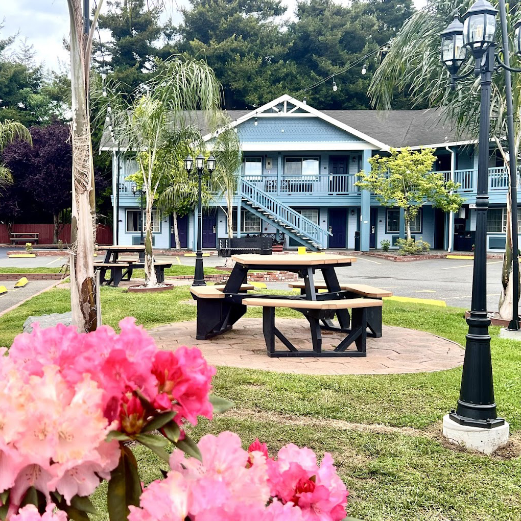
Best Western Country Inn
2025 Riverwalk Drive
Fortuna, CA 95540
707-725-6822
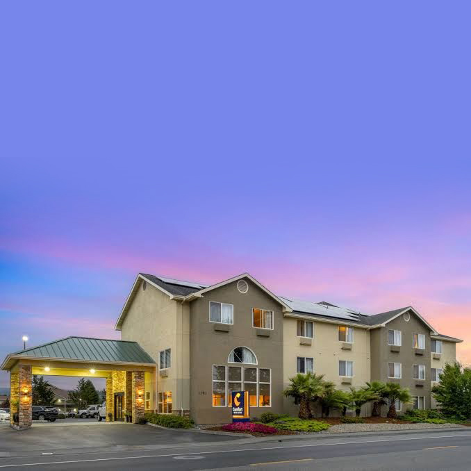
Comfort Inn & Suites
1583 Riverwalk Drive
Fortuna, CA 95540
707-725-7025
Thank You to our Sponsors