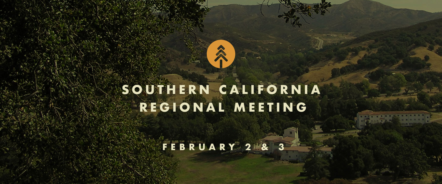
Southern California Regional Meeting
The Southern California Regional Meeting will be held in person in Calabasas, with a LiveStream option for remote attendance. Hosted by the Santa Monica Mountains Conservancy (SMMC) and Mountains Recreation and Conservation Authority (MRCA), discussions will focus on Southern California, with updates and panel discussions about real progress being made on the ground, and opportunities to network with partners from around the state. We look forward to connecting, committing to action, and collaborating on real solutions to the daunting challenges facing our landscapes and communities. The meeting will open with a Resource Fair to showcase local organizations at work in Southern California. Field tours will be offered on February 3. See below for tour details and registration.
FEBRUARY 2 & 3
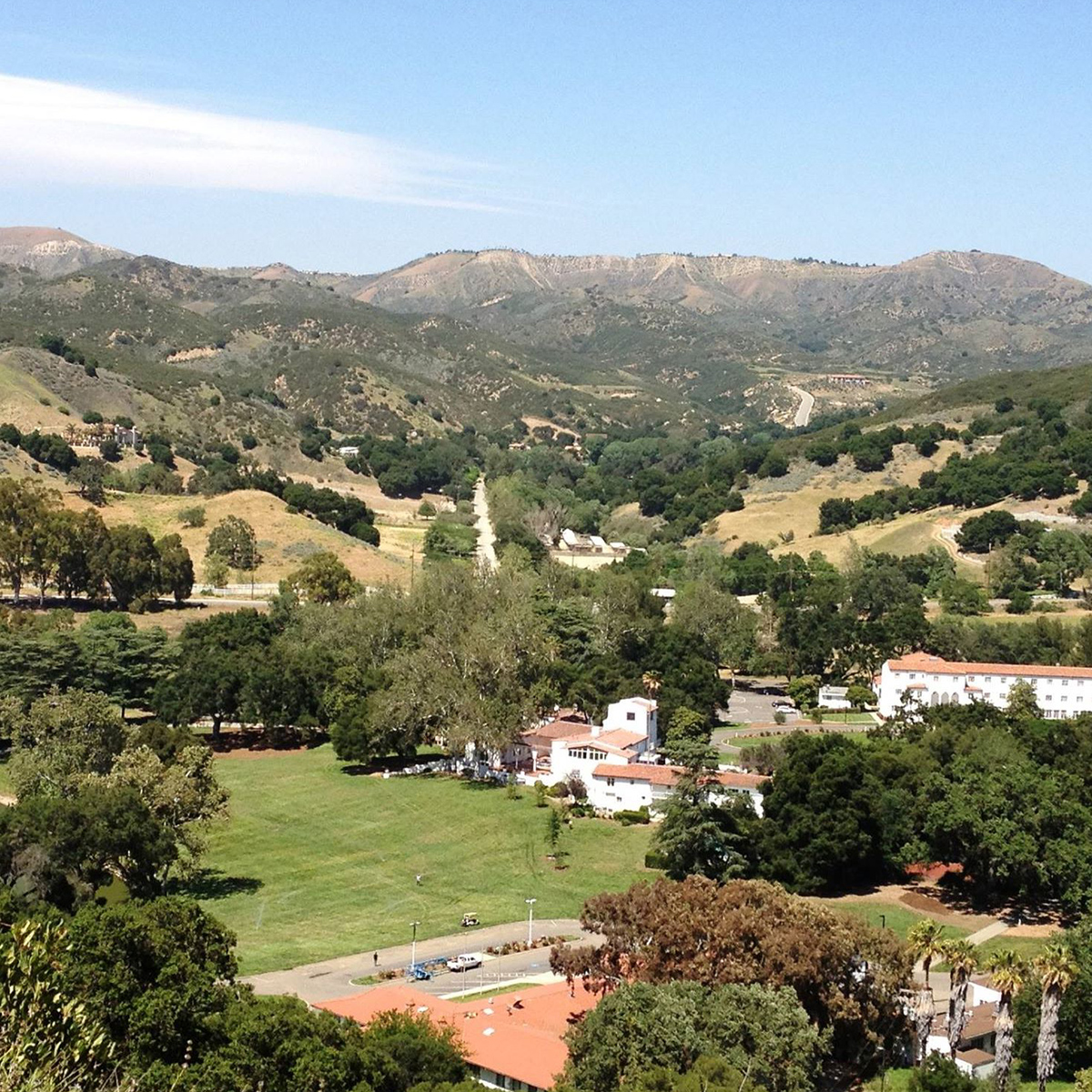
King Gillette Ranch
26800 Mulholland Hwy
Calabasas, CA
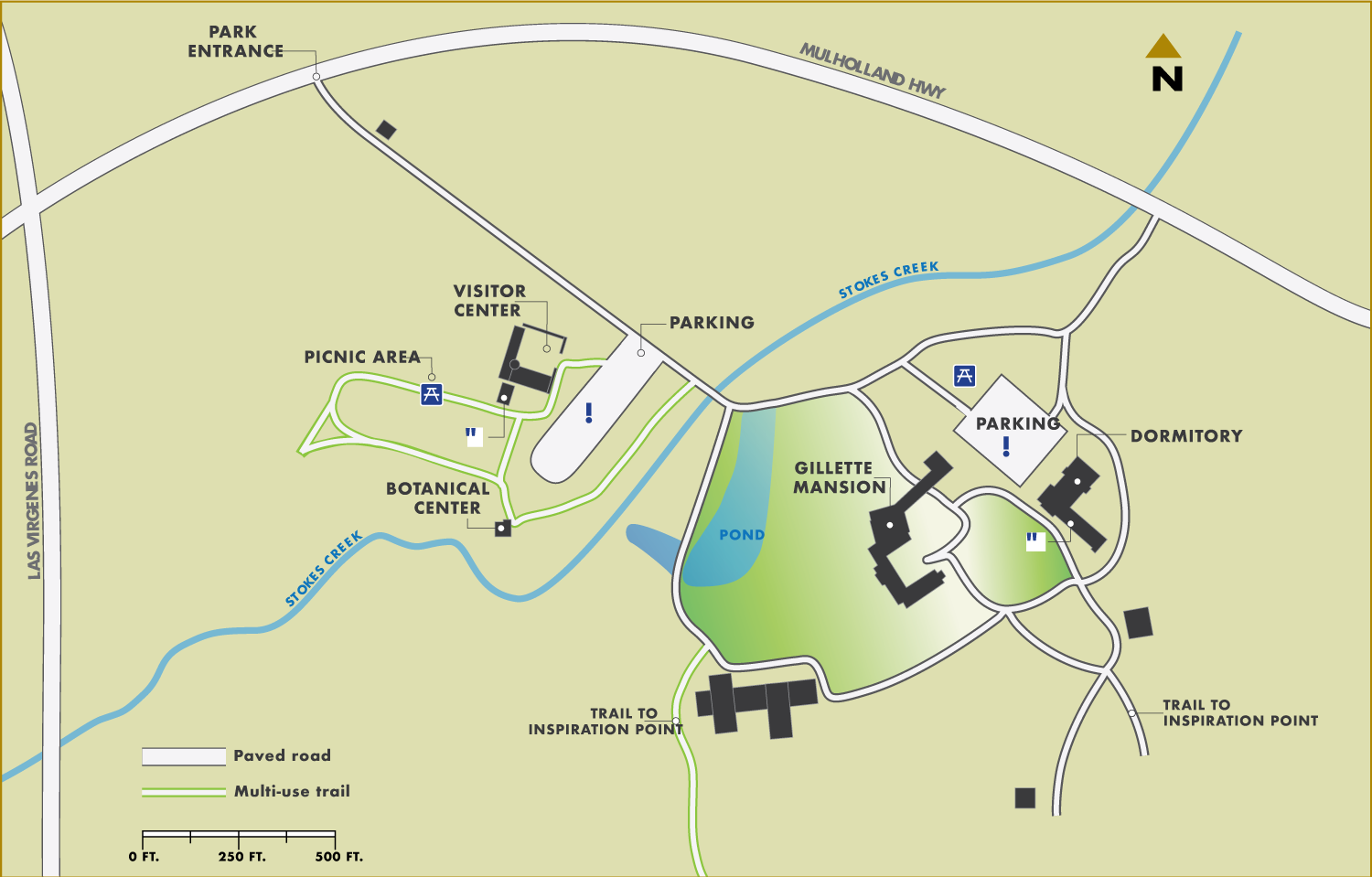
Event schedule
8:30-10:00 a.m. Resource Fair
10 a.m.-12:15 p.m. Morning Session
12:15-1:30 p.m. Lunch
1:30-3:15 p.m. Afternoon Session
3:30-4:30 p.m. Small Group Discussions
4:30 p.m. Reception
field tours
FIELD TOURS WILL BE OFFERED ON FEBRUARY 3RD
Planting a Legacy: FULL
Creating an Ember Screen Along a Historic Wildfire Corridor
Description: Tour the Mountains Recreation and Conservation Authority’s (MRCA) freeway-adjacent-focused vegetation management effort within the historic wildfire corridor along a four-mile section of the 101 freeway where wildfires jump the freeway into the Santa Monica Mountains. The project consists of planting coast live oak ember barriers, a suburban interface with over 1,500 planted mitigation trees with the help of the Los Angeles Conservation Corps and the San Gabriel Valley Conservation Corps. You will also have an opportunity to see progress on the Wallis Annenberg Wildlife Crossing at Liberty Canyon, which will be the largest wildlife crossing in the world. The tour will involve driving to several sites and standing and walking for short periods of time on uneven terrain.
Location: Calabasas
Start/End Time: 9:30am – 12:30pm
Partnerships in the Santa Monica Mountains: FULL
Wildfire Prevention, Response, and Resilience
Description: This event will provide an opportunity to tour the shrublands of the Santa Monica Mountains and learn about the unique wind-driven wildfire behavior that has shaped partnerships among wildfire practitioners and land managers with federal, state, and local agency perspectives. The tour will feature the Mountains Recreation and Conservation Authority (MRCA) Fire Division Headquarters and a key Los Angeles County Fire Department wildfire response facility which features a sustainable habitat-focused defensible space project. The tour will include discussion among contiguous land managers including National Park Service, California Department of Parks and Recreation, Santa Monica Mountains Conservancy, and the MRCA who maintain a Cooperative Management Agreement of the Santa Monica Mountains National Recreation Area. The tour will involve driving to several sites and standing on uneven terrain.
Location: Calabasas
Start/End Time: 9:00am – 1:00pm
Community Hardening and Resilience in the Santa Monica Mountains
Description: This tour consists of visiting a home hardening demonstration structure that gives homeowners the opportunity to see best management practices for hardening their structures against wildfires particularly in wind-driven wildfires where embers can progress miles ahead of an active fire and create new ignitions – the project is in partnership with Los Angeles County Fire Department and the Resource Conservation District of Santa Monica Mountains. You will have an opportunity to learn more about the tools and programs being developed to educate and engage with communities and meet with a local community in Oak Park that has organized to create a local Fire Safe Council. The tour will involve driving to several sites and standing on uneven terrain.
Location: Agoura Hills (10 minutes from Calabasas)
Start/End Time: 9:00am – 12:00pm
Reducing Wildfire Risks on our Landscapes and in Communities:
Ventura County Invasive Fuels Management and Home Hardening Projects
Description: This tour will discuss the different wildfire efforts in Ventura County, both on the landscape and within communities, to address wildfire risk. The tour consists of visiting the Arroyo Conejo Invasive Plant Management Project and meeting with a local community that has recently organized to create a Fire Safe Council to discuss how they are working with local organizations to engage with their community to advance home hardening practices. The tour will include COSCA, Ventura Regional Fire Safe Council, the Ventura County Resource Conservation District, Oak Park Fire Safe Council, and Ventura County Prescribed Burn Association. The tour will involve driving to several sites and standing on uneven terrain.
Location: Oak Park (20 minutes from Calabasas)
Start/End Time: 9:00am – 12:00pm
Northeast Los Angeles Canyons and Hilltops:
Community Wildfire Resilience through Restoration, Local Engagement, and Workforce Development
Description: Wildfire resilience efforts in Los Angeles are complex and most resources focus on the large mountain ranges that surround the developed valleys and basins, such as the Angeles National Forest and the Santa Monica Mountains; however, there is another vulnerable landscape type: urban islands of open space. These smaller open space areas typically include undeveloped canyons and hilltops and are often owned by local agencies, non-profits, private parties, or a combination of these. These open space islands are surrounded by some of the most densely populated communities in California and are highly utilized as spaces of refuge and recreation for residents of Los Angeles. Although they differ in size from the large State and Federal landholdings in the mountains, these smaller islands of open space are also vulnerable to wildfires. The potential impact of a wildfire in any of these islands would be devastating to the surrounding communities, which lack the resources of more affluent areas. On this tour, we will discuss various wildfire efforts occurring in Northeast Los Angeles led by local non-profits, including organizations like North East Trees, who are working to deplete an invasive seed bank of flammable flashy fuels and restoring native habitat, and Community Nature Connection, who is establishing a nursery to supply local restoration projects. They will discuss their unique projects and community engagement efforts. An important component of these efforts is training to create a sustainable green workforce who can steward future wildfire resilience projects to combat climate change and progressively more destructive fires. On this tour, we will also hear from organizations working on wildfire efforts in similar landscapes across the metro area, such as a new Tribal Conservation Corps for Los Angeles and Outward Bound Adventures, an organization dedicated to outdoor education for BIPOC youth for over 60 years. This tour will be an opportunity to hear the perspective of several local organizations as they share their unique wildfire perspectives, goals, and priorities, engage with local communities, and increase conservation employment opportunities.
Location: Northeast Los Angeles (1 hour from Calabasas)
Start/End Time: 9:00am – 12:00pm
Eastern Angeles National Forest Tour:
Description: This tour will begin in Wrightwood to discuss the recent Sheep Fire’s progression and impacts to the community including the role of climate change and weather and their impacts to communities and resources including desert transition vegetative communities such as Joshua Trees. The tour will discuss fire history of the area, the role that fuel treatments played in the Blue Cut Fire and Sheep Fire, and restoration potential. Next, the tour will take a look at Big Pines Highway, ongoing fuels treatment implementation, and a three-way partnership with the Forest Service, National Forest Foundation, and the Rivers and Mountains Conservancy. The tour will conclude at Big Rock Creek road which demonstrates the impacts of the Bobcat Fire. Here we will discuss the bigcone Douglas-fir endemic in Southern California as well as restoration in the face of climate change. Please note that this tour will take place in the eastern Angeles National Forest; it is recommended that participants traveling for the event fly out of Ontario Airport after the tour. Guests may also elect to spend the previous night in the Ontario area to assist with travel time to the tour in the morning. The tour will involve driving to several sites and standing on uneven terrain. Participants are advised to bring their own lunch, wear warm clothes, and wear sunscreen.
Location: Wrightwood (2.5 hours from Calabasas)
Start/End Time: 9:00am – 2:30pm
Angeles National Forest:
Mt. Wilson and Chilao Tour
Description: This tour will visit two sites on the Angeles National Forest that have been threatened by large wildfires, including Mt. Wilson and the Chilao area. The southern California Mediterranean climate has always been subject to large wildfires due to the flammable shrub vegetation and Santa Ana wind patterns. Values at risk and other tree form vegetation types are equally threatened and at risk from climate change, past fire suppression, and high frequency of human caused ignitions. On this tour we will visit Mt. Wilson which hosts numerous stakeholders such as the communications site which serve the Los Angeles basin for emergency, utility, and media services. The tour includes a visit to the Mt. Wilson Observatory which maintains operational telescopes while preserving its legacy of historic contributions to astronomy. Mt. Wilson and the stakeholders’ interests have survived the Station and Bobcat Fires and a lesser known Wilson Fire. We will look at the site’s proximity to Los Angeles and the urban interface and fuel treatments that were initiated 10 years ago. There will be a representative from the Mt. Wilson Observatory to discuss stakeholder interests and actions within the framework of living with wildfire. The second leg of the tour will explore Chilao – a popular area for recreation within one of the few areas of the national forest that is a forested east side pine stand. The Chilao area has also been subject to both the Station and Bobcat Fires and represents a remote forest health stand, highly susceptible to wildfire due to adjacency to flammable chaparral. We will look at different fuel and vegetation treatments including mechanical and prescribed fire. Participants are advised to bring their own lunch. The tour will involve standing on unpaved surfaces.
Location: Angeles National Forest (2 hours from Calabasas)
Start/End Time: 9:30am – 2:00pm
Angeles National Forest – Green Valley Tour:
Forest Health in the Face of an Invasive Pest
Description: This tour of Green Valley will highlight the challenges posed by the goldspotted oak borer (GSOB) which was discovered in Green Valley in 2015, 162 miles from the known initial introduction point in San Diego County. We will discuss how public agencies are coordinating with private landowners, bordering National Forest land, as they remove or treat trees affected by GSOB. Participants are advised to bring their own lunch and wear warm clothes. The tour will involve walking on unpaved surfaces.
Location: Green Valley (2 hours from Calabasas)
Start/End Time: 9:30am – 2:30pm
We are encouraging all meetingattendees to pre-purchase lunch.Same day purchases will be limited.
hotel information** Discounted rates available while room blocks last, thru January 15th **

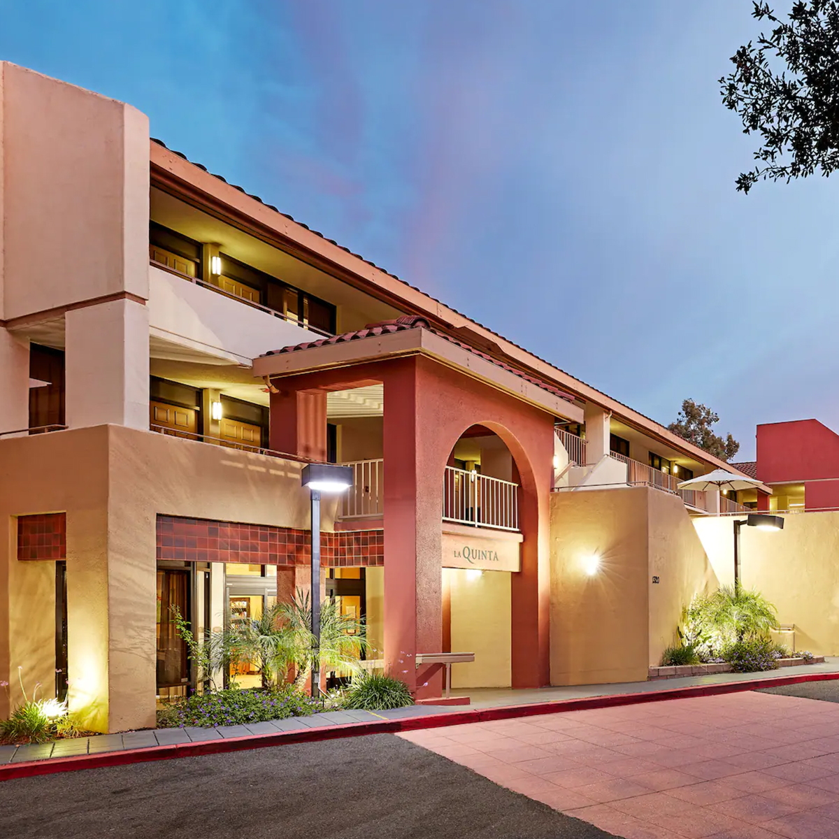
La Quinta
by Wyndham Thousand Oaks
1320 Newbury Rd.
Thousand Oaks, CA 91320
To receive the Task Force
discounted rate,
please call the hotel at
805-499-5910
and use code CG2223