
Task Force to Showcase Latest Science Driving California’s Actions to Improve Wildfire Resilience
Task Force to Showcase Latest Science Driving California’s Actions to Improve Wildfire Resilience
On December 13, the Task Force will host a meeting in Sacramento that will highlight recent research that is guiding California’s efforts to respond to increasing wildfire risks in a changing climate. The Task Force’s Science Advisory Panel will be joined by scientists at the forefront of wildfire research to provide a synthesis of key findings on reducing the risk of catastrophic wildfire, impacts of wildfire to ecosystems and public health, post-fire restoration, and new technologies and innovations to accelerate progress toward resilience. These findings will help inform the Task Force’s 2025 Action Plan to ensure the plan is based on the latest science being published by leading researchers from across California. The meeting will also feature a preview of CAL FIRE’s 2024 Forest and Rangelands Assessment. The meeting will be held from 9 a.m. to 12 p.m. in the CNRA Auditorium, 715 P St., Sacramento (no registration necessary) and Via Zoom (registration required).
USFS Study Shows How Fuel Treatments Improve Wildfire Outcomes
USFS Pacific Southwest Research Station (PSW) Study Shows How Fuel Treatments Improve Wildfire Outcomes
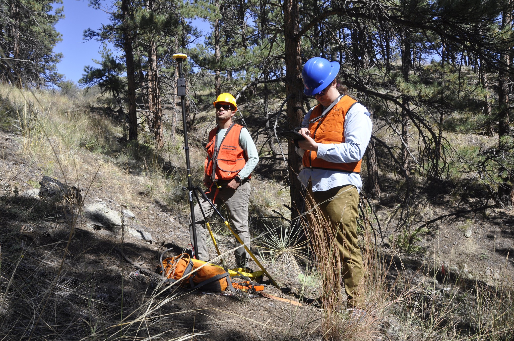
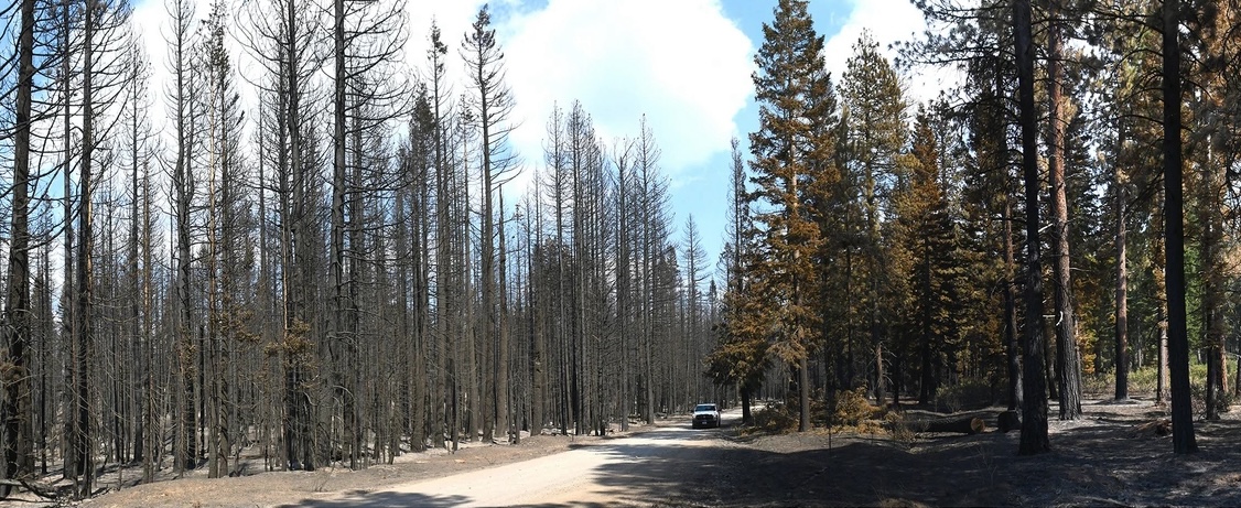
PSW researchers recently published findings that provide strong evidence for the use of fuel treatments to mitigate fire behavior and resulting fire severity even under extreme fire weather conditions. When the 2021 Antelope Fire tore through the Goosenest Adaptive Management Area (long-term research plots set up in northeastern California in the late 1990s), it seemed that 20 years worth of research had been lost. However, shortly after the fire a 2,300-acre study was conducted that demonstrates how reducing canopy bulk density via mechanical thinning treatments can help to limit crown fire behavior for 20 years or more. The findings make a compelling case for doing both tree thinning and prescribed burning to protect forests in the future.
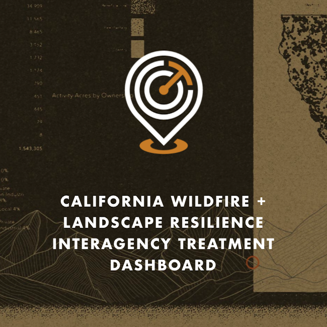
Explore the Treatment Dashboard - Take The Survey
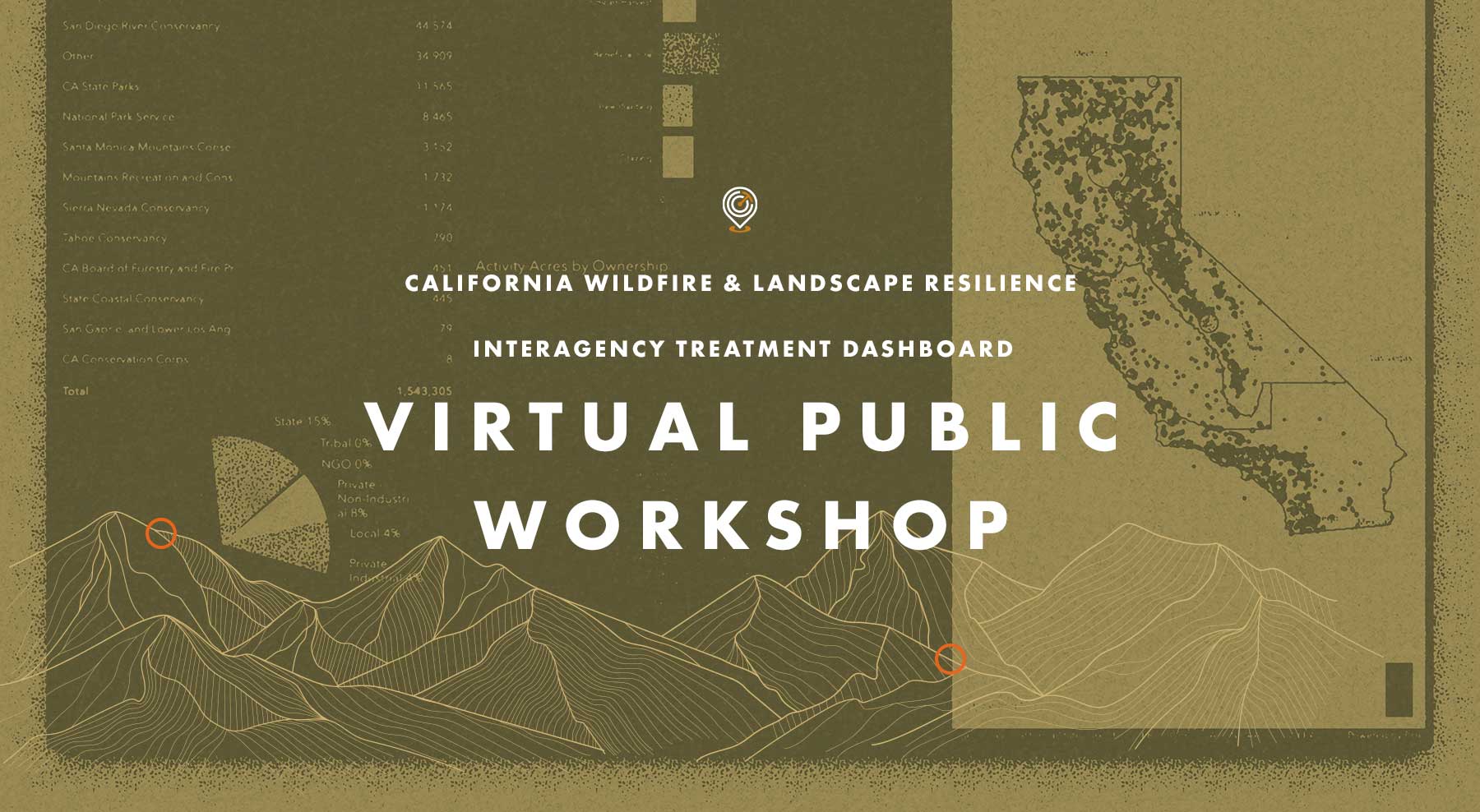
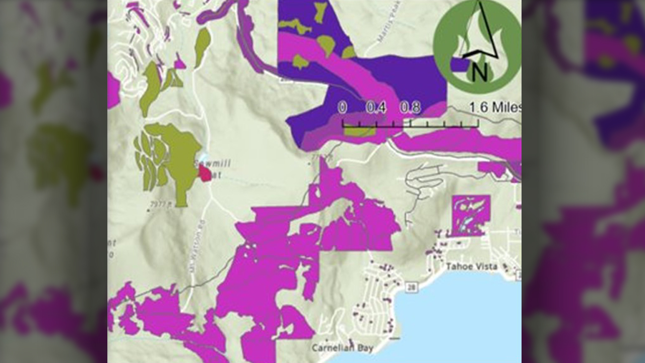
Recap: Treatment Dashboard Virtual Workshop
On Tuesday, November 14 the Task Force hosted a Virtual Public Workshop on the CA Wildfire & Landscape Resilience Interagency Treatment Dashboard. The goal of the workshop was to gather input from those using the Treatment Tracking System and Dashboard to improve how data is accessed and displayed, and to ensure we are providing transparency and effective planning information on statewide wildfire resilience treatments.
If you missed the workshop, or want to look back at what was covered, click on the buttons above to watch a video of the presentation from Alan Talhelm, Assistant Deputy Director for Climate and Energy at CAL FIRE, and a key architect of the Dashboard. You can also view and download Alan’s presentation and take a moment to answer a quick survey for gathering additional input on how the Dashboard can be most effective.
Wildfire & Forest Resilience Treatment Tracking and Mapping
Wildfire & Forest Resilience Treatment Tracking and Mapping
At the March 30 Task Force meeting, the Task Force’s Monitoring, Reporting and Assessment Work Group gave an update on their efforts to build an interagency treatment tracker. The group is assembling federal, state, local, private data on planned, active, and completed projects statewide, including those on forests, grasslands, shrublands, and covering approximately 60 different activities (type of work completed). The goals include tracking progress toward state/federal acreage targets; facilitating regional planning and monitoring; and assessing benefits/costs beyond “acres treated.” The Task Force anticipates having a publicly available treatment tracking map and dashboard by summer 2023.
RESOURCES
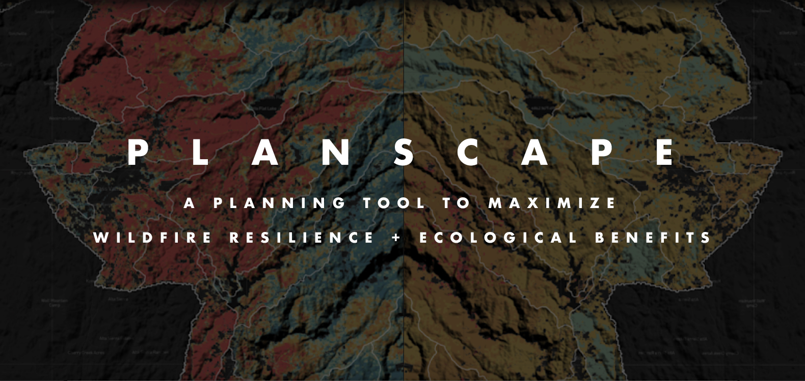
Planscape now lives on the Task Force website
Planscape Now Lives on the Task Force Website
A collaborative effort between CA Natural Resources Agency, USFS, UC Berkeley, Spatial Informatics Group and Google.org, Planscape is a decision support tool that empowers regional planners to prioritize resilience treatments across the landscape and inform the funding process. Planscape partners provided a demonstration of the tool at the March 30 Task Force meeting. This version of the tool is available for beta testing, with the region-specific scenarios released this summer through fall.
RESOURCES
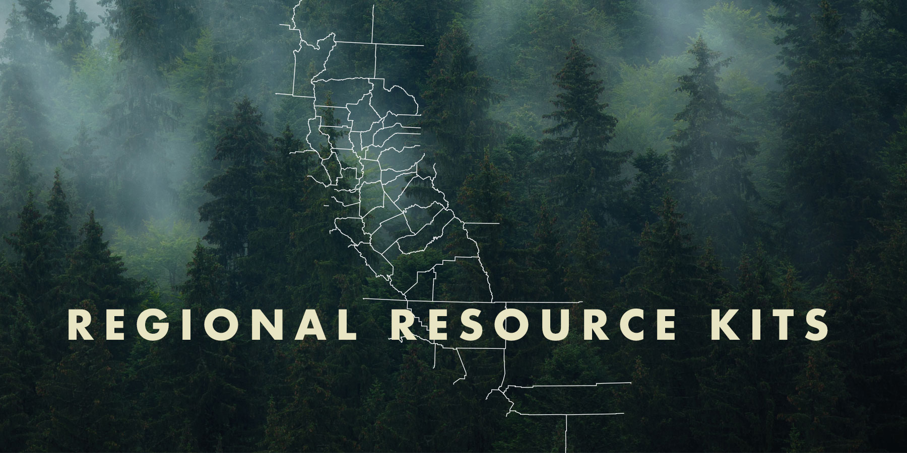
Regional Resource Kits and Profiles Are Now Available
Regional Resource Kits and Profiles Are Now Available
The Task Force’s Science Advisory Panel has completed Regional Resource Kits and Regional Profiles for both the Sierra Nevada and Southern California regions. These invaluable tools are now available here on the Task Force website.
Regional Resource Kits offer critical tools and data to guide regional partners and collaboratives in their efforts to reduce wildfire hazard and improve the conditions of forested and shrub landscapes.
Likewise, Regional Profiles bring together the best available scientific information and a wide range of input from stakeholders throughout the region.
The Science Team will now focus on collecting data and tools for the Central Coast in preparation for the May 2023 Task Force meeting.
CNRA Announces Tool to Improve Wildfire Resilience with Support from Google.org
CNRA announces tool to Improve Wildfire Resilience with Support from Google.org
The CNRA and the USDA FOREST SERVICE, along with support from Google.org, Google’s philanthropic arm, has developed Planscape – a new wildfire resilience planning tool that uses state and federal resilience data to create user-friendly models that will be easily accessible to land planners. A demonstration of Planscape was released at the California Wildfire & Forest Resilience Task Force meeting on September 27th, 2022. The new, open-source tool will permit everyone to evaluate fire risks and remedies.
RESOURCES
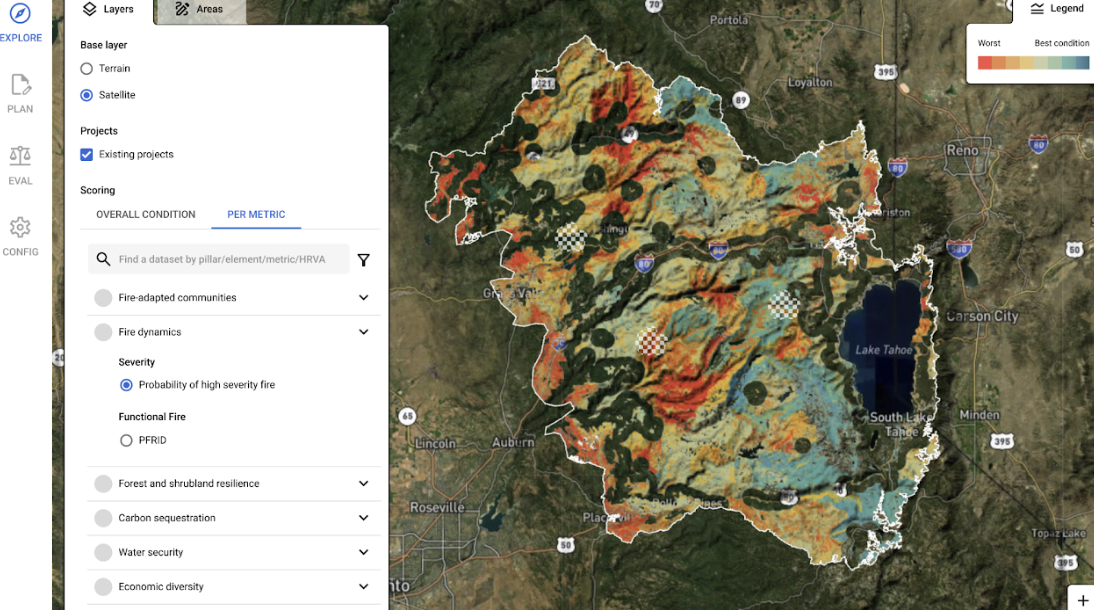
An Overview of Tools to Inform Land Management Decisions
A Guide FOR Land Managers
An Overview Of Tools To Inform Land Management Decisions
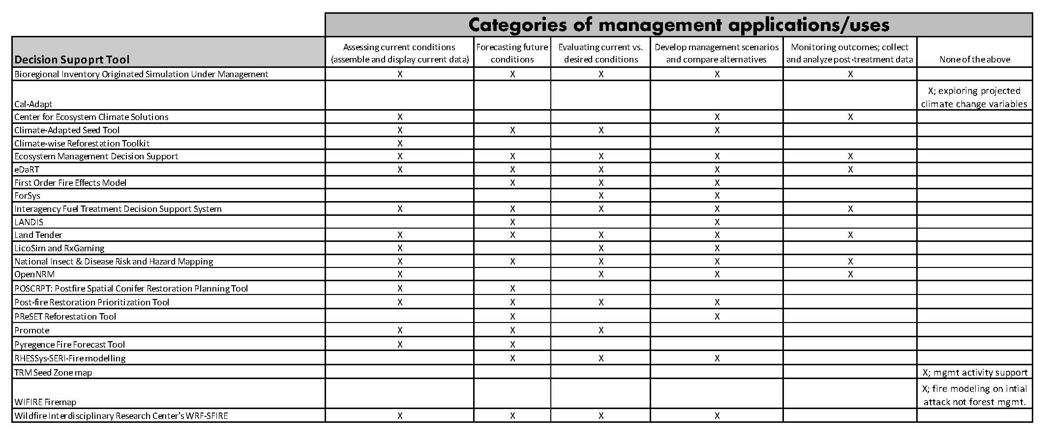
24 Decision Support Tools Researched/Analyzed To Help Guide Land Managers
The Science Advisory Panel of the California Wildfire & Forest Resilience Task Force, in collaboration with US Forest Service Region 5 and Pacific Southwest Research Station created this guide to help land managers, both government and private, better understand the tools available to them to help make the critical decisions required to keep their lands healthy and resilient.
Background
The project team curated a list of 24 available tools for land management decision-making in California. Tools included in the list were “application ready” and applied at a regional or larger scale. For each tool, they identified a range of characteristics that could help land managers determine which tool or tools best meet their needs. The characteristics were selected through the project team’s expertise and engagement with tool users and developers.
The following characteristics were
surveyed for each tool:
- Management applications
- Geographic and spatial domain
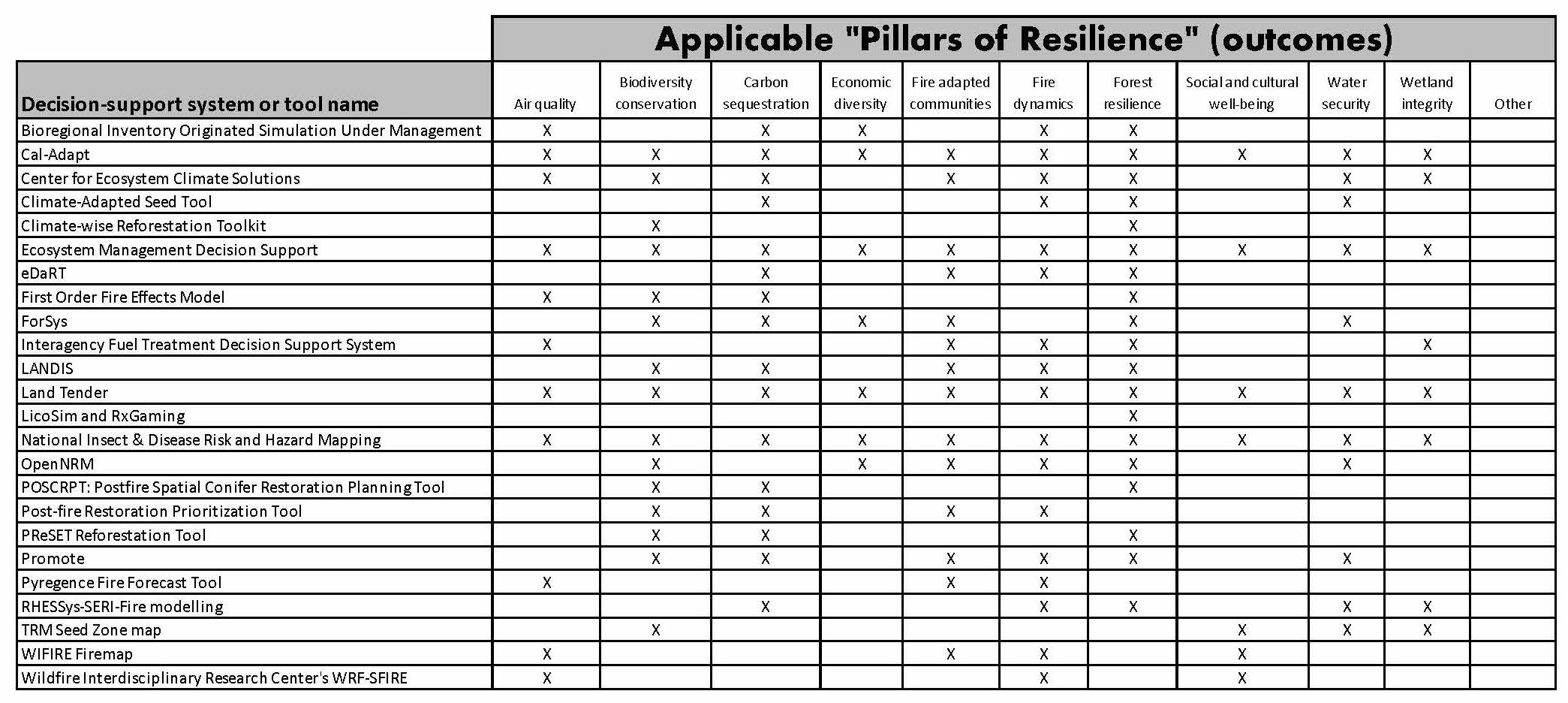
- Pillars of Resilience
- Metrics used
- Data input and output
- Key strengths and limitations
- Required expertise and training
- Model validation
- Sustainment and maintenance
- Financial cost
- Documented applications
Click on graph to view
RESOURCES
How To Use This Page
Below are two tables representing two key results of the survey conducted by the project team.• Table 1 shows which categories of Management Application apply to each of the tools.• Table 2 identifies which Pillars of Resilience (from the Tahoe Central Sierra Initiative Framework For Resilience) each tool addresses.Land Managers should review these result tables as a first step to determining which tools would be most applicable to their land management decision making needs.
Complete Survey Responses For Each Tool
Write-Up On Additional Findings
Authors
• Jennifer Smith
USDA California Climate Hub
• John Battles
UC Berkeley
• Patricia Manley
US Forest Service Pacific Southwest Research Station
• Steven Ostoja
USDA California Climate Hub
• Carlos Ramirez
US Forest Service Region 5 Information Management – MARS Team
• Peter Stine
Pacific Southwest Research Station
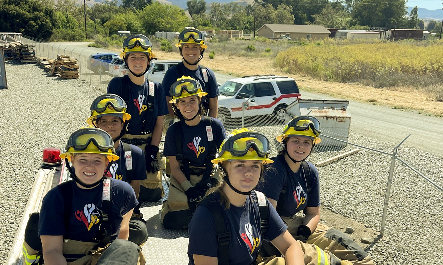
Camp Cinder
Camp Cinder
CAL FIRE’S summer program, Camp Cinder, inspires young women to join the future of the fire service.
Boggs Mountain Demonstration State Forest Research Video
Boggs Mountain Demonstration State Forest Research Video
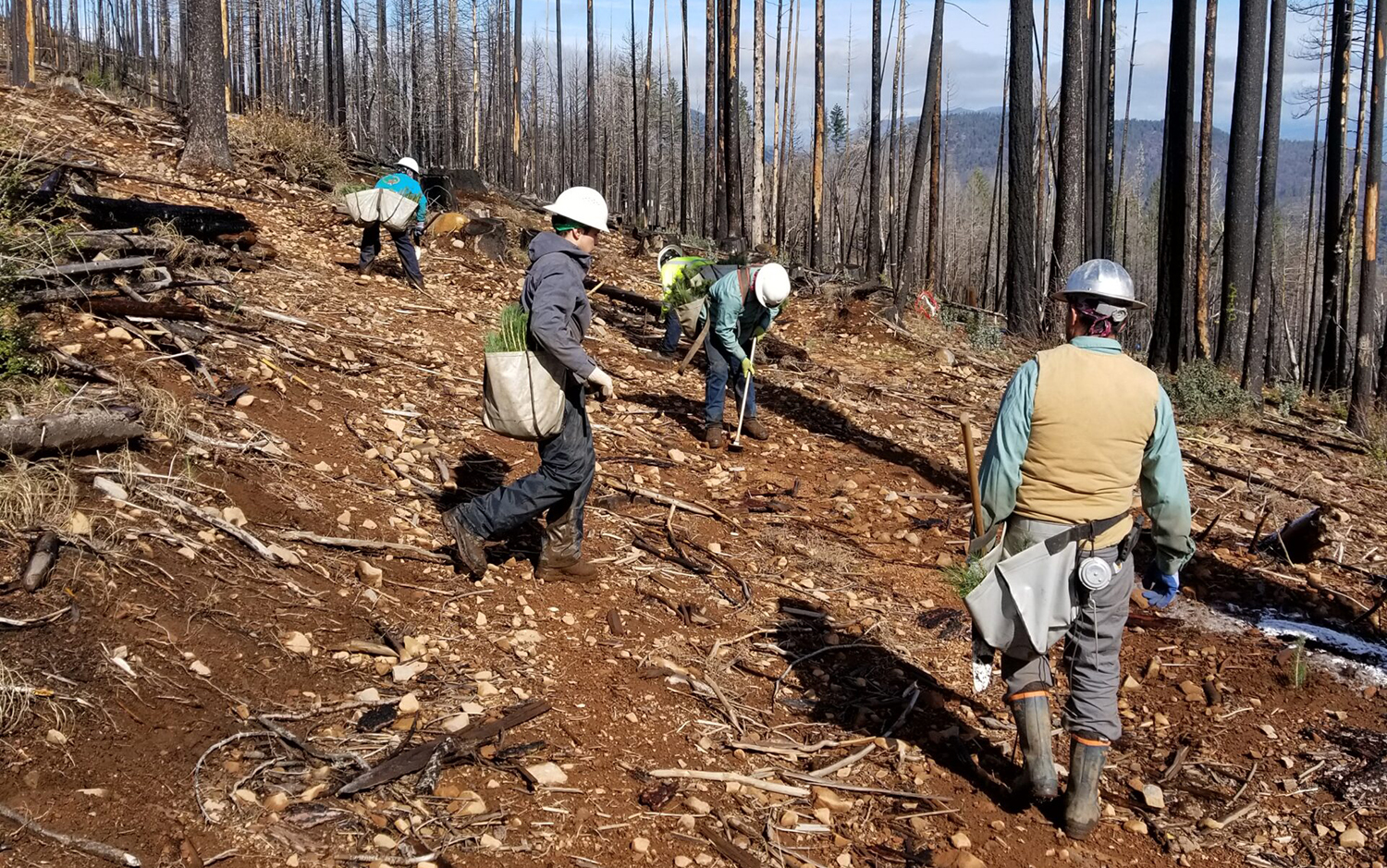
Wildfire is increasingly impacting small to medium sized forest landowners. Deciding what to do with their land post-fire can be challenging, which is why CAL FIRE’s Fire and Resource Assessment Program has implemented a long term post-fire reforestation study at Boggs Mountain Demonstration State Forest. The results of this study will help inform landowners about different options for post-fire reforestation. The experiments and research conducted on Demonstration State Forests helps inform management practices for government, nonprofit and private forestland owners. Private forestland ownerships comprise 40% of California’s forestland and are key to sustaining forests for all California.