
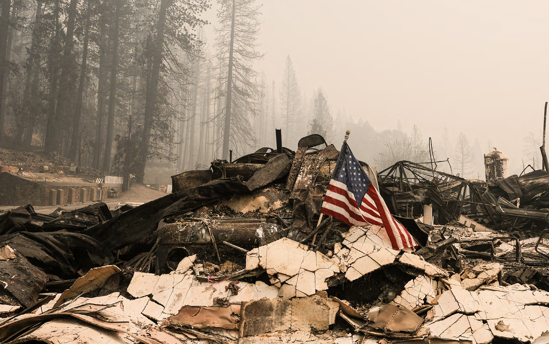
U.S. Forest Service Identifies California Landscapes at High Wildfire Risk
U.S. Forest Service Identifies California Landscapes at High Wildfire Risk
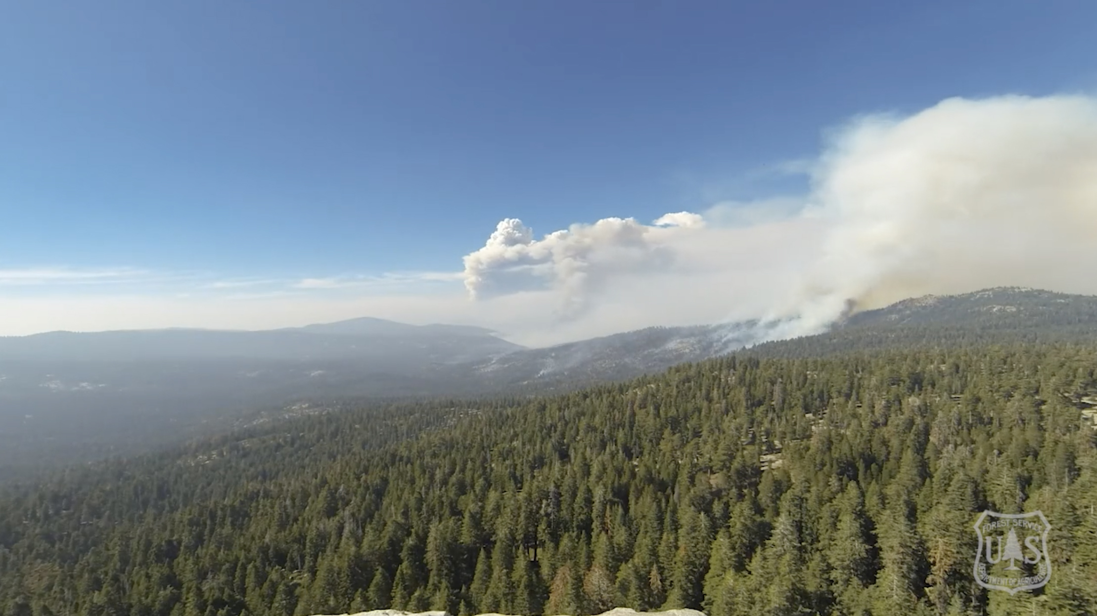
April 20, 2022 – As part of the Forest Service’s strategy for Confronting the Wildfire Crisis, two landscapes within the Stanislaus and Tahoe national forests will receive targeted investments to increase forest resiliency and health through a broad range of treatments. These two forests will collectively receive $28.6 million in 2022 and an additional $52.1 million over the next three years, for a total of $80.7 million. This funding is being appropriated through the Bipartisan Infrastructure Law.
The North Yuba Landscape Resilience area on the Tahoe National Forest and the SERAL (Social and Ecological Resilience Across the Landscape) area on the Stanislaus National Forest are two of 10 landscapes selected nationally to receive this funding. Overall, the 10 landscapes will receive $131 million this year to begin implementing our 10-year strategy for protecting communities and improving resilience in America’s forests.
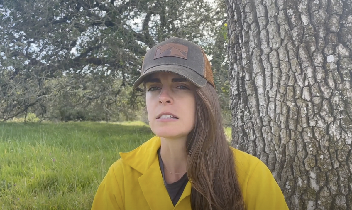
Advancing Equitable Wildfire Workforce Development
Advancing Equitable Wildfire Workforce Development
April 14, 2022 – The Watershed Research and Training Center advances equity in the wildfire workforce through a pilot training with a local conservation corps, Conservation Corps of North Bay. Developing wildfire and climate resilience through support of a diverse workforce.

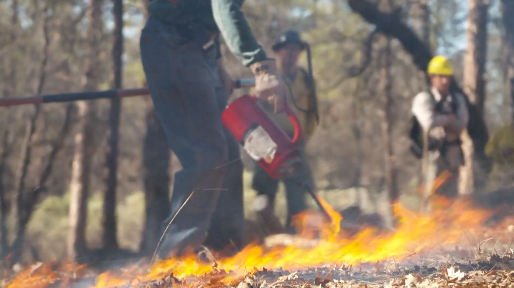
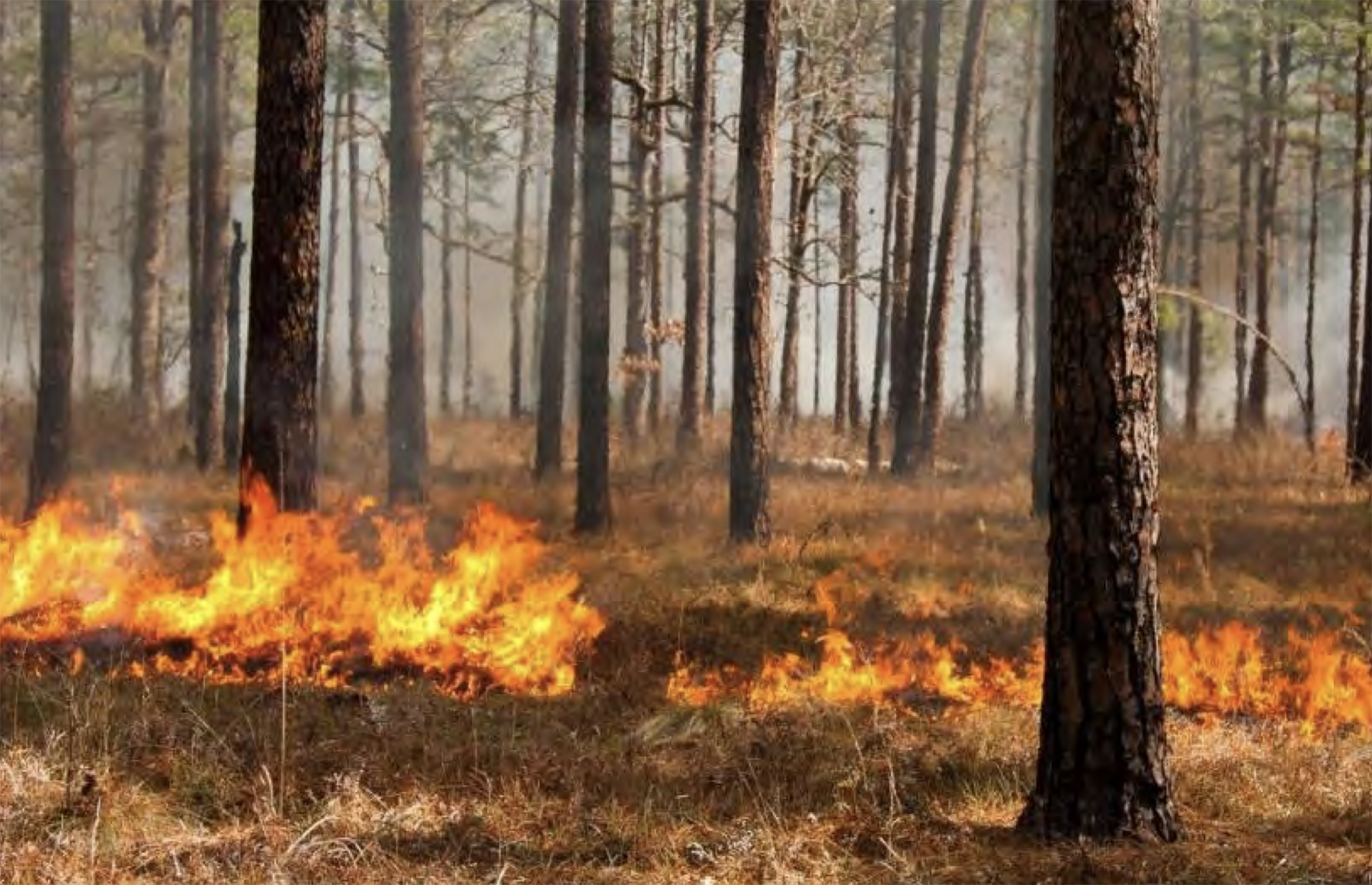
Communities are embracing controlled burns
Communities are embracing ‘controlled burns’ to protect themselves
The past few years have led to record wildfires across the U.S. Decades of suppressing fires has led to overgrown forests, and a warming climate has increased their intensity and frequency. Christopher Booker reports from California on community-led efforts to preemptively set controlled fires, reducing the risk from large out-of-control fires while also restoring the ecological health of the forest.
RESOURCES
Can Prescribed Fires Mitigate Health Harm?
Can Prescribed Fires Mitigate Health Harm?
A Review of Air Quality & Public Health Implications of Wildfire & Prescribed Fire
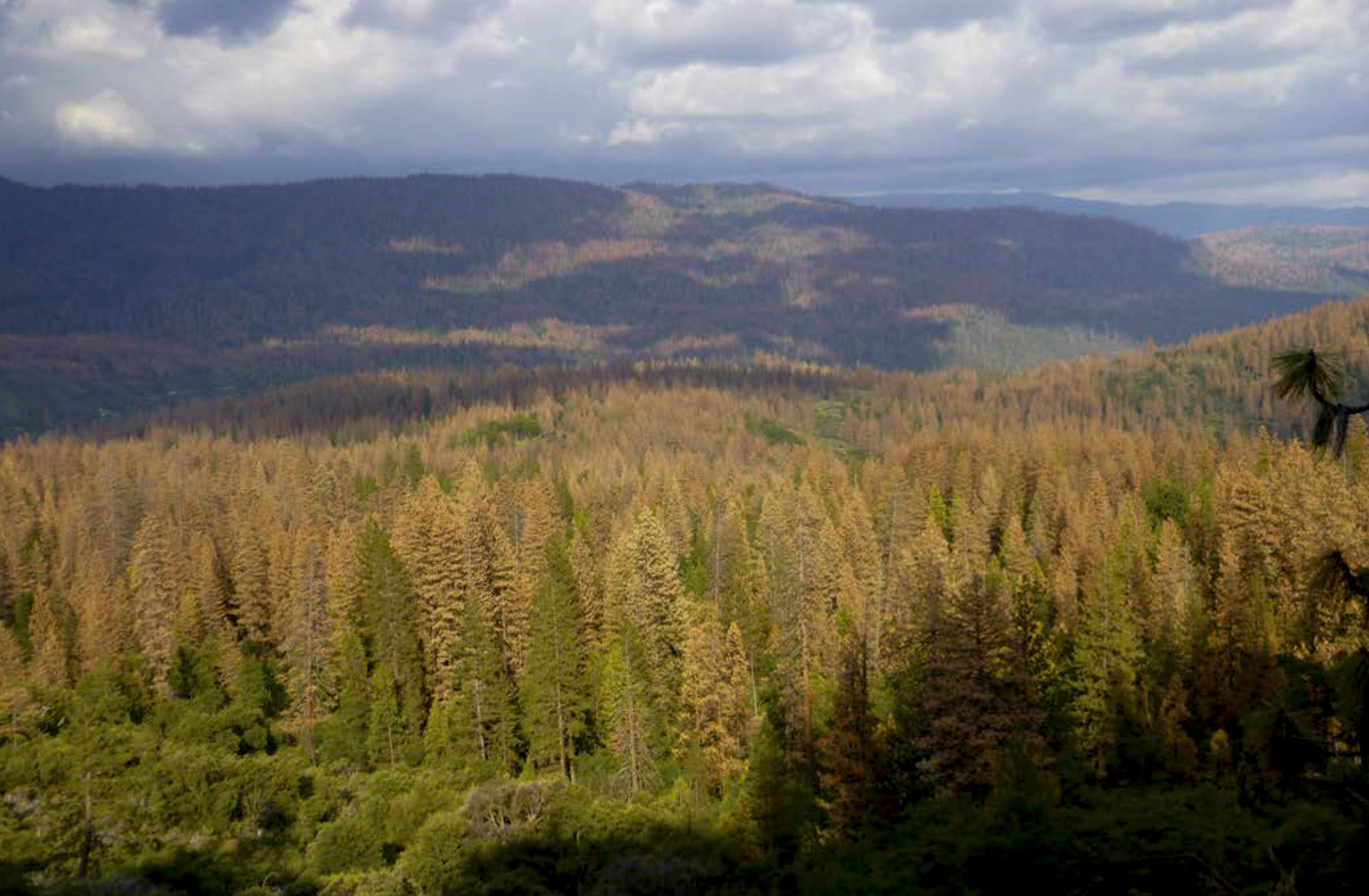
Fire is critical to maintaining the health, resiliency, and diversity of habitats and ecosystems. Indigenous peoples of North America have used cultural fires for millennia to enhance biodiversity and other ecosystem benefits, as well as for ceremonial activities. Following Euro-American colonization, practices and policies shifted to promote fire exclusion, contributing to increased fuel loading and increased wildfire risk.
RESOURCES
How We Fight Wildfires: Preparing for Wildfires
How We Fight Wildfires: Preparing for Wildfires
March 21, 2022 – Wildfires continue to pose a significant threat in California. Brian Rhodes, who helps manage the Forest Service response, emphasizes that communities and homeowners need to be prepared.
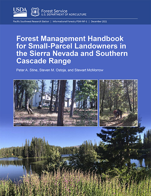
U.S. Forest Service Releases Handbook for Small Parcel Landowners
U.S. Forest Service Releases Handbook for Small Parcel Landowners
A significant portion of Sierra Nevada and southern Cascades forests are owned and managed as small parcels (10 to 100 acres) by nonindustrial private landowners. This handbook is for such landowners; it provides succinct, straightforward, and thorough information to help them develop a sound forest management strategy for their property.
This handbook was assembled by synthesizing information from a large body of current scientific literature, including printed and online sources, that provides relevant technical information for forest landowners. It is organized in a step-by-step manner to help landowners assess the condition of their property to make informed decisions rooted in the best available science. The handbook is built around four main chapters with attending worksheets that enable landowners to build a California cooperative forest management plan. The plan will help determine what, if any, management action(s) is needed on your land; how to obtain technical and financial support; and what, if any, permits may be necessary. This handbook uses easy to understand language that does not require any specific training in forest science or management.

Explore California’s Conserved Lands
Explore California’s Conserved Lands
December 15, 2021 – Today, the California Natural Resource Agency launched the complete version of CA Nature, a website with a suite of interactive mapping and visualization tools. CA Nature compiles statewide information on biodiversity, access, climate, and conservation in one place to advance our conservation and land management efforts. The website will be updated regularly to track and show progress toward our conservation goals.
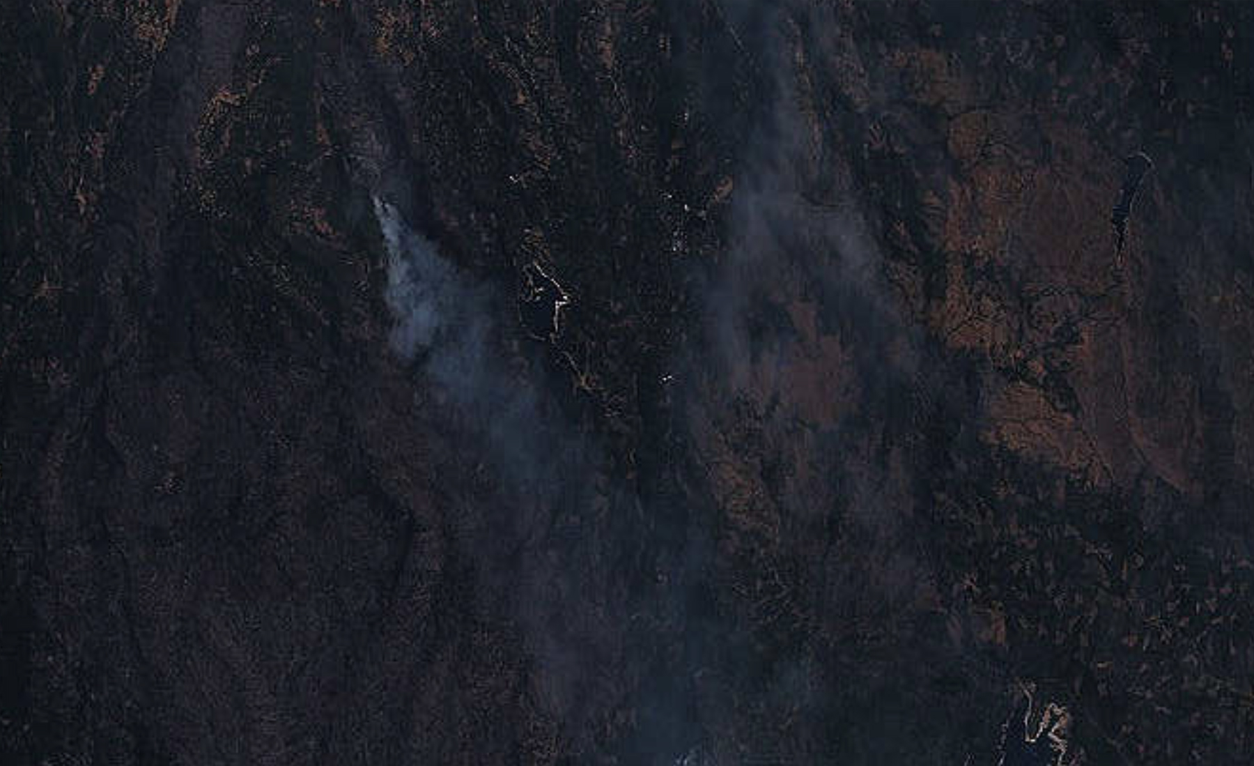
Prescribed Burns Helped Curb the Caldor Fire
Prescribed Burns Helped Curb the Caldor Fire
September 20, 2021 – The Caldor Fire defied expectations, climbing up mountains and crossing highways, destroying more than 1,000 structures in the process. South Lake Tahoe narrowly avoided the fire’s wrath, which fire experts say was largely thanks to fire prevention activities, including prescribed burns. The following maps show how prescribed burns and other methods of removing vegetation to reduce the risk of hotter, larger fires — known as “fuel treatments” — slowed or curbed Caldor’s growth.