
Spring Regional Meeting Agenda

Questions? Please contact foresttaskforce@fire.ca.gov
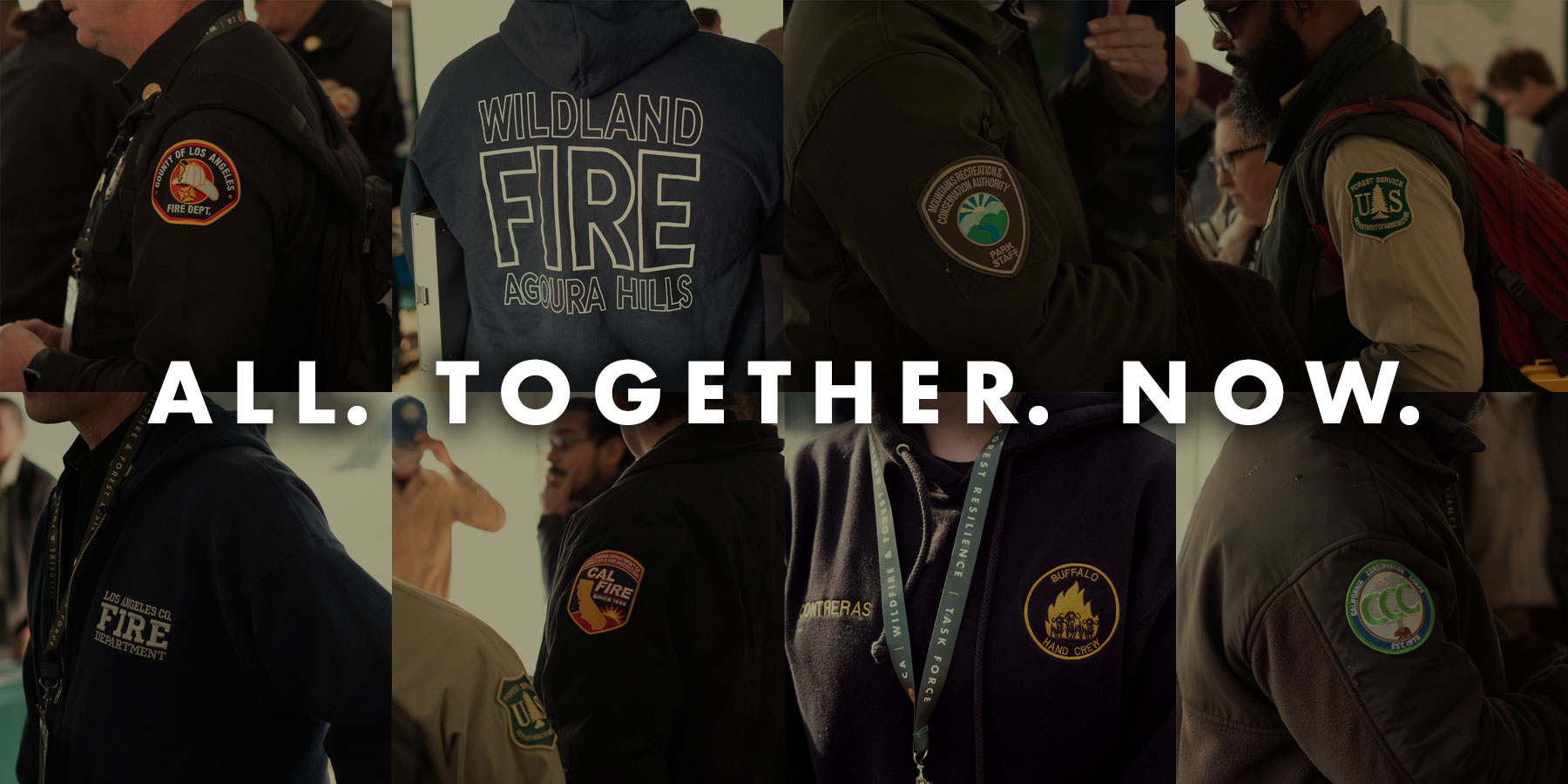
Thank You to our Hosts

Thank You to our Sponsors


WHAT ARE THE EXPERTS SAYING ABOUT WILDFIRES IN CALIFORNIA
What are the experts saying
about wildfires in California?
Myth: California isn’t doing enough to manage its forests and landscapes for wildfire risk.
“The State of California is a leader, there is no doubt about it, when you look at what has been applied here in terms of grant funding, also political leadership in the wildfire space, it's really unparalleled anywhere in the western US.”
Scott Stephens, UC Berkeley
“California contains not only the most firefighters in the country but also the most highly trained”
Hugh Safford, a research fire ecologist at the University of California, Davis
“Thousands of wildfire resilience projects have been completed across California to protect our communities and landscapes from catastrophic wildfire in recent years, and more are underway,”
Wade Crowfoot
“No other state in the country is tackling wildfire resilience at this scale or with this level of innovation. From groundbreaking prescribed fire projects to comprehensive data tracking systems, we’re setting the standard for what it means to protect our landscapes and communities.”
Kara Chadwick – U.S. Forest Service Deputy Regional Forester
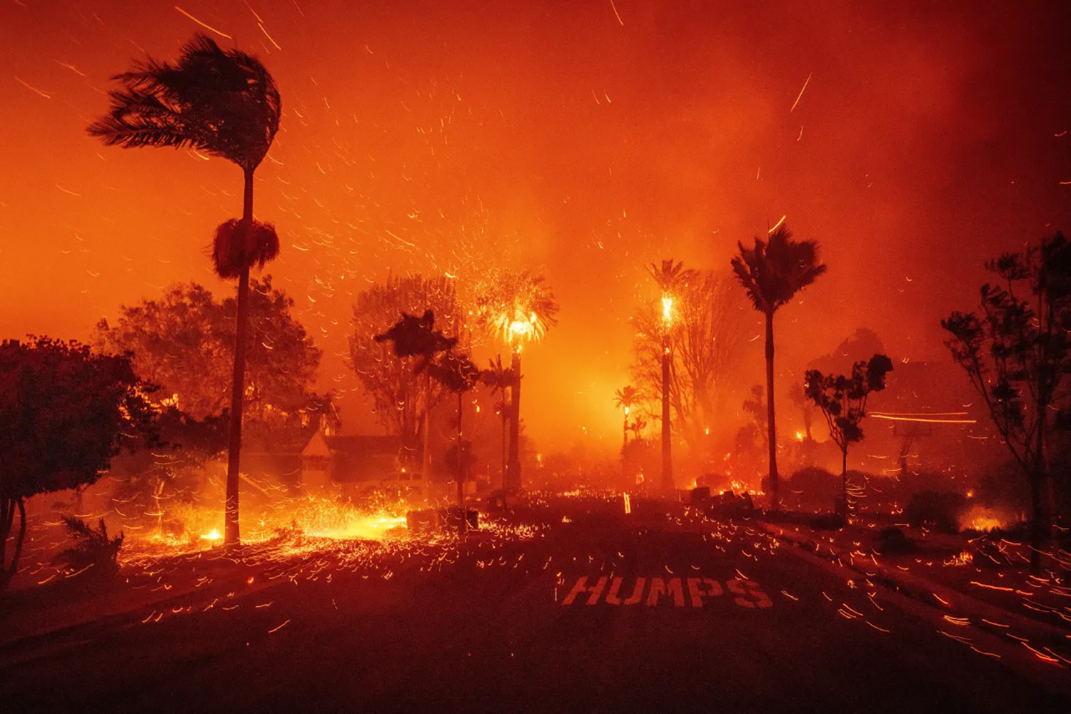
Myth: Prior treatments would have prevented the damage from LA fires/ Overregulation prevented LA communities from taking action before the fire.
“All of the brush clearance, fuel breaks — they’re very effective on what we would consider a normal day, but what you’re talking about here is probably less than 1% of all the fires that we respond to in Southern California. You could have put a 10-lane freeway in front of that fire and it would not have slowed it one bit.”
Chief Brian Fennessy – Orange County Fire Authority
“The bottom line is the winds far outweigh the fuel in terms of fire spread in a situation like this”
Jon Keeley, fire ecologist with the U.S. Geological Survey
“I do not believe there is anything that wildland management could have done to qualitatively or substantially alter the outcome of these fires.”
Alexandra Syphard, senior research ecologist at the nonprofit Conservation Biology Institute and adjunct professor at San Diego State University
“Clearing brush — and thus eliminating fuel — can reduce the intensity of wildfires in the Los Angeles Basin even during extreme weather, although it’s not likely to have prevented the kind of destruction of Pacific Palisades. At the same time, unlike in forested areas, fuel reduction in the region’s chaparral shrublands risks harming the ecosystem rather than making it healthier.”
Patrick T. Brown – co-director of the climate and energy team at the Breakthrough Institute
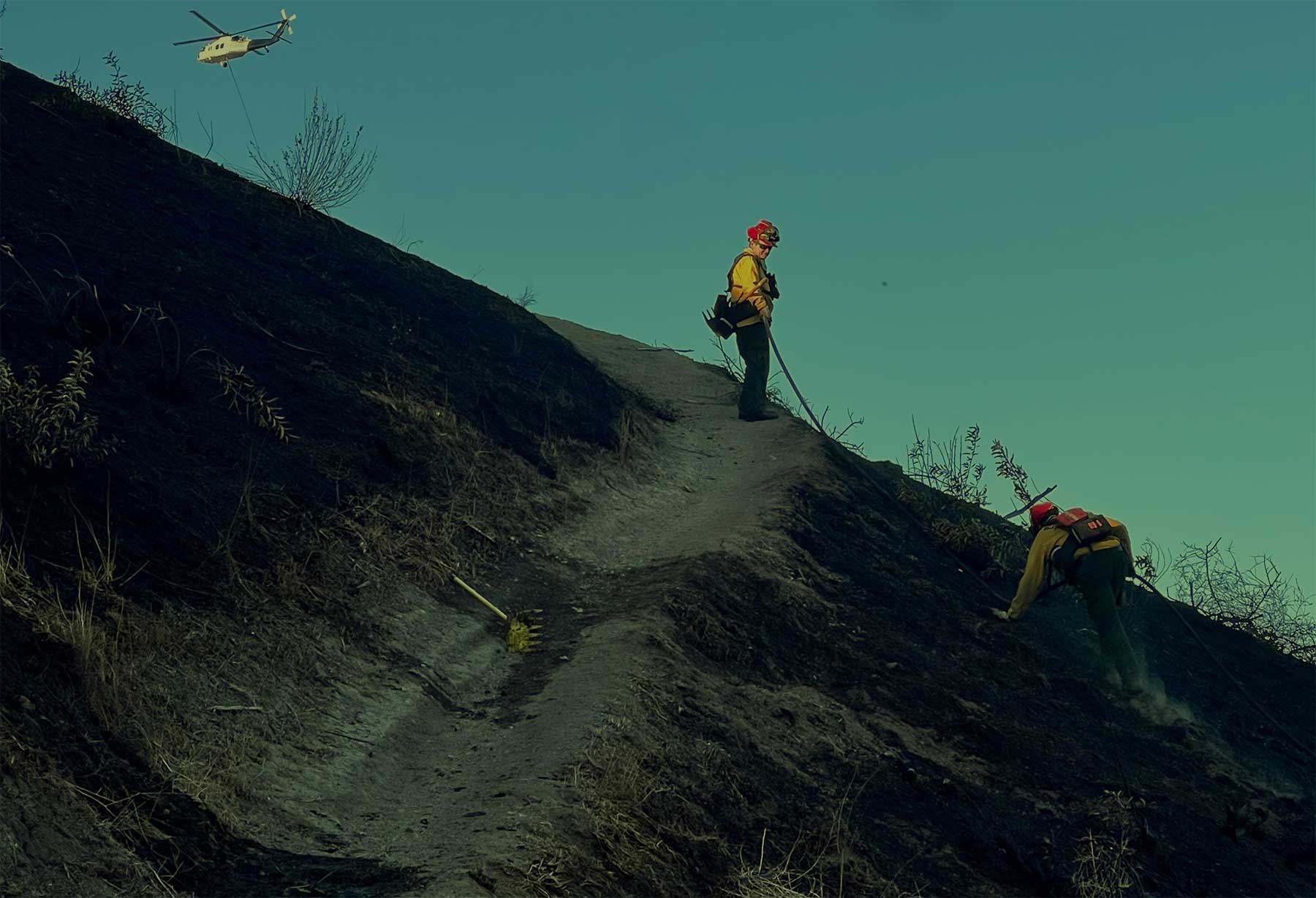
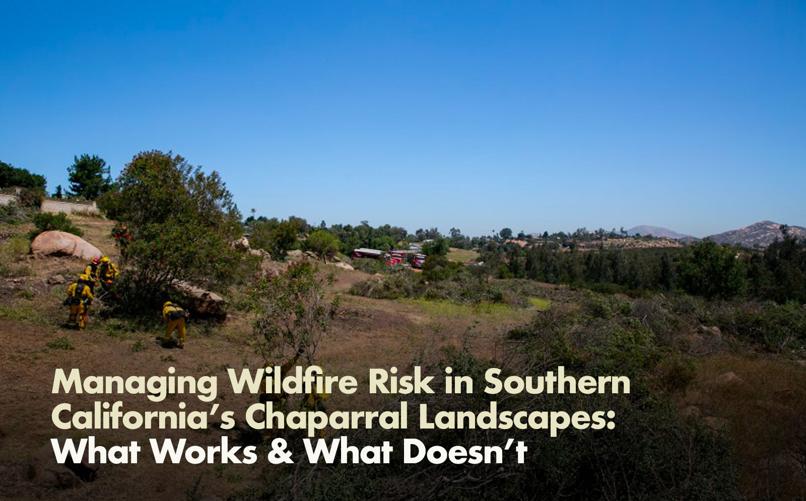
Managing Wildfire Risk in Southern California’s Chaparral Landscapes
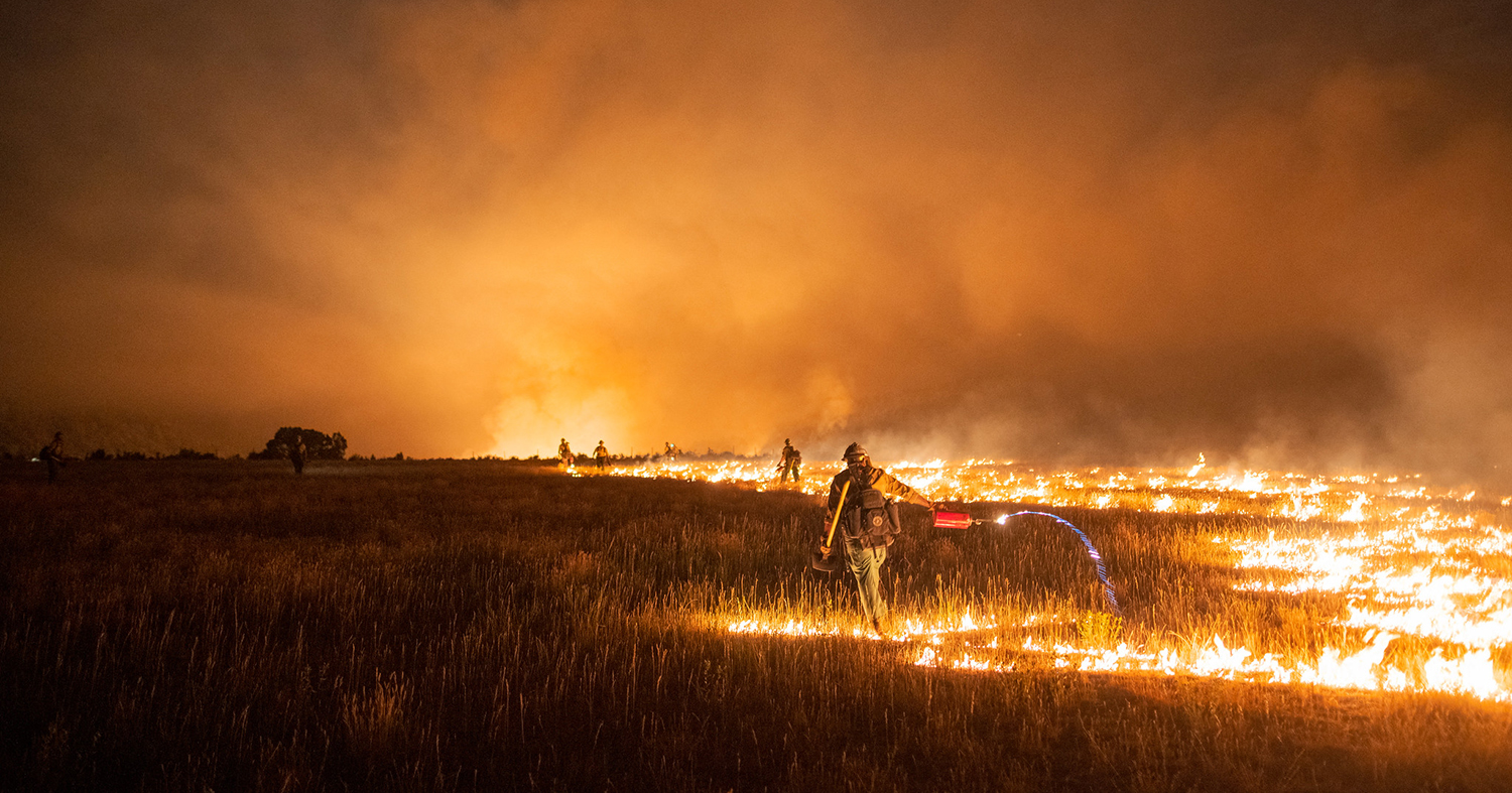
THE PROBLEM: The largest and most catastrophic wildfires in Southern California strike during Santa Ana winds, when extremely dry conditions combine with high winds and ignitions along roadways and powerlines. Climate change has made these conditions more extreme and more likely, and the recent Los Angeles fires are among the most damaging natural disasters in the state’s history.
SOUTHERN CALIFORNIA IS UNIQUE: Southern California’s chaparral landscapes require carefully tailored management approaches for wildfire resilience. Unlike much of California’s forests (including Southern California’s higher elevation forests), Southern California’s chaparral-dominated ecosystems suffer from too much fire. Therefore, fuel treatments such as prescribed fire are generally not appropriate as a landscape-level tool to reduce wildfire risks as more frequent fires lead to the conversion of chaparral into more flammable non-native grasses, which creates even greater fire risk. Accordingly, primary wildfire resilience tools in Southern California communities near chaparral are preventing ignitions; hardening structures and communities; and strategic fuel breaks.
PROGRESS MADE: The State and its partners have completed more than 500 targeted wildfire resilience projects between 2021 and 2023, including 129 in Los Angeles County. These include fuel breaks, roadway ignition reduction projects, and a broad range of community wildfire resilience programs and projects.
Irvine Ranch Conservancy President & CEO, Michael O’Connell, shares the unique obstacles and solutions to wildfire risk in Southern California during a panel on the Los Angeles fires featured through the California Natural Resources Agency’s Secretary Speaker Series.
What Works
1.
IGNITION REDUCTION:
Ignition reduction work focuses on reducing the potential sources of ignition and removing fuels in areas where ignitions are more common. Undergrounding of utility lines and restricting access to unauthorized trails are examples of reducing potential ignition sources. Where ignitions are more common, such as along roadsides, removing easily ignitable fuels, such as non-native grasses, can reduce the likelihood of an ignition becoming a wildfire. Individuals can take steps to prevent human ignitions through actions such as mowing dry grass before 10 a.m., ensuring debris burns and campfires are completely extinguished, and ensuring vehicles are properly maintained.
WHAT WE'RE DOING:
The U.S. Forest Service (USFS) - along with Caltrans, CAL FIRE, DOC, and non-profit partners – created the Southern California Ignition Reduction Program to coordinate and ramp up regionally-tailored ignition reduction efforts. CAL FIRE and its contract counties completed over 29,800 acres of fuels reduction work across 391 projects in the 2023/24 fiscal year. Caltrans treated over 134,000 acres along roadsides between 2021 and 2023 in Southern California. The California Office of Energy Infrastructure Safety ensures electrical corporations are constructing, maintaining, and operating electrical lines and equipment to minimize wildfire risk through review of Wildfire Mitigation Plans.
2.
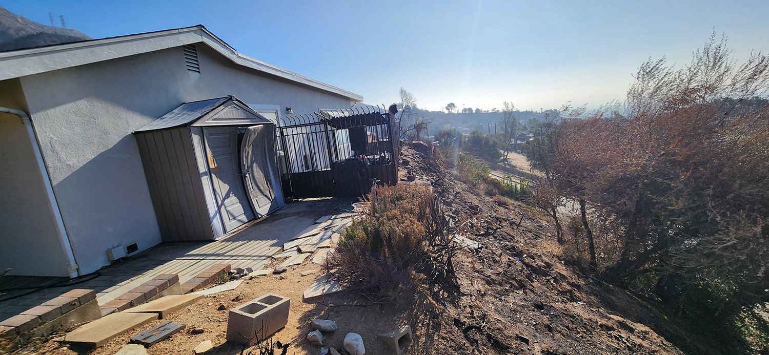
STRUCTURE HARDENING:
Once a fire starts, pre-fire work to create defensible space and harden structures, especially removing flammable materials from Zone Zero (within 5 feet of structures) and installing low-cost protections like ember-resistant vents, offers the best chance to reduce risk to homes near the flame front.
WHAT WE'RE DOING:
Governor Newsom signed Executive Order N-18-25 which directs the State Board of Forestry to accelerate its work to adopt Zone Zero regulations. CAL FIRE inspected over 216,000 homes in Southern California in the 2023/24 fiscal year. CAL FIRE and Cal OES partnered through the California Wildfire Mitigation Program to develop a home hardening initiative to retrofit, harden, and create defensible space for homes at high risk to wildfires, focusing on high socially-vulnerable communities.
– Steve Hawks, Senior Director for Wildfire at the Insurance Institute for Business & Home Safety
3.
STRATEGIC FUEL BREAKS:
When placed strategically and properly maintained, fuel breaks can reduce fire risk and enable firefighters to protect communities safely and effectively. Three key factors – fire weather, strategic placement, and continued maintenance – determine fuel break effectiveness.
WHAT WE'RE DOING:
CAL FIRE Provides funding through competitive grants to communities across the state to create and maintain fuel breaks and conduct other mitigation and efforts. CAL FIRE continues to evaluate the effectiveness of fuel treatments (viewable in an interactive dashboard) that have been impacted by wildfire to ensure projects are achieving intended objectives and to inform management decisions. A selection of Fuels Treatment Effectiveness Reports from 2024 are viewable here. USFS has treated more than 50,000 acres for hazardous fuels in Southern California since 2023. This includes fuel breaks that enabled firefighters to protect the communities of Lake Elsinore from the 2024 Airport Fire and Angelus Oaks from the 2024 Line Fire. The Bureau of Land Management is utilizing cross-boundary strategic fuel breaks to protect vulnerable communities from wildfire. This includes fuel breaks that helped firefighters contain the 2024 Grove 2 Fire in San Diego County.
“Fuel breaks are somewhat controversial, because there is a net ecological loss when you create them, but they are beneficial when they are strategically placed.”
– Megan Jennings, Research Ecologist at San Diego State University
What Doesn't Work
1.
WIDESPREAD BRUSH CLEARING:
In the absence of extreme wind, strategically-based fuel breaks can be highly effective at reducing fire risk, but more widespread chaparral clearing can also cause damage by completely removing native vegetation, impacting habitat and increasing the risk of spreading more flammable non-native species, which can also indirectly increase fire risk.
– Max Moritz, Wildfire Specialist at UC Santa Barbara
– Patrick T. Brown, The Breakthrough Institute
2.
FUEL BREAKS UNDER EXTREME WEATHER CONDITIONS:
Under extreme fire weather conditions, such as the recent Santa Ana winds during the Los Angeles fires, fuel breaks, and other fuel reduction projects, play a smaller role in reducing fire spread as wind carries embers well in front of the active flame front.
– Chief Brian Fennessy, Orange County Fire Authority
– Alexandra Syphard, Senior Research Ecologist with The Conservation Biology Institute
3.
UNMAINTAINED FUEL BREAKS:
Unmaintained fuel breaks and disused roads create places for flammable non-native grasses to thrive, which increases ignition risks. One-time treatments and unmaintained fuel breaks can have the unintended effect of actually increasing fire risk.
“Unmaintained fuel breaks can slow fire suppression response and put firefighters at risk, therefore there should be a commitment and plan to maintain a strategic fuel break network across Southern California.”
– Nicole Molinari, Southern California Province Ecologist, U.S. Forest Service
4.
PRESCRIBED FIRE IN CHAPARRAL LANDSCAPES:
Unlike many other parts of California, prescribed and managed wildfire in Southern California chaparral is not a widespread solution because fires are occurring MORE frequently than they did historically. Too much fire is leading to conversion of native vegetation to more flammable non-native grasses, resulting in even greater fire risk. However, prescribed fire can be an effective tool in Southern California’s montane forests and in other targeted applications in the region.
“In our shrublands we have too much fire, and we want to have less. Too much fire means shrublands turn to grasslands.”
– Megan Jennings, Research Ecologist at San Diego State University
Resources:
*Information included in this document was sourced from the California Wildfire and Forest Resilience Task Force’s Southern California Regional Profile.
Find practical ways to protect your home from wildfire: Defensible Space | CAL FIRE
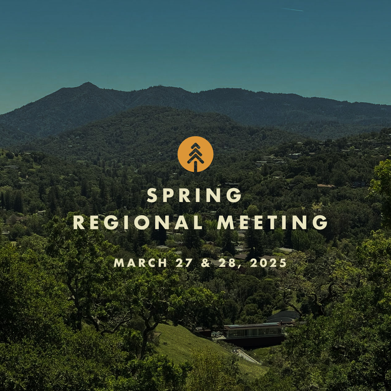
The Next Task Force Meeting is March 27 in San Rafael
Spring Regional Meeting – Marin County, CA
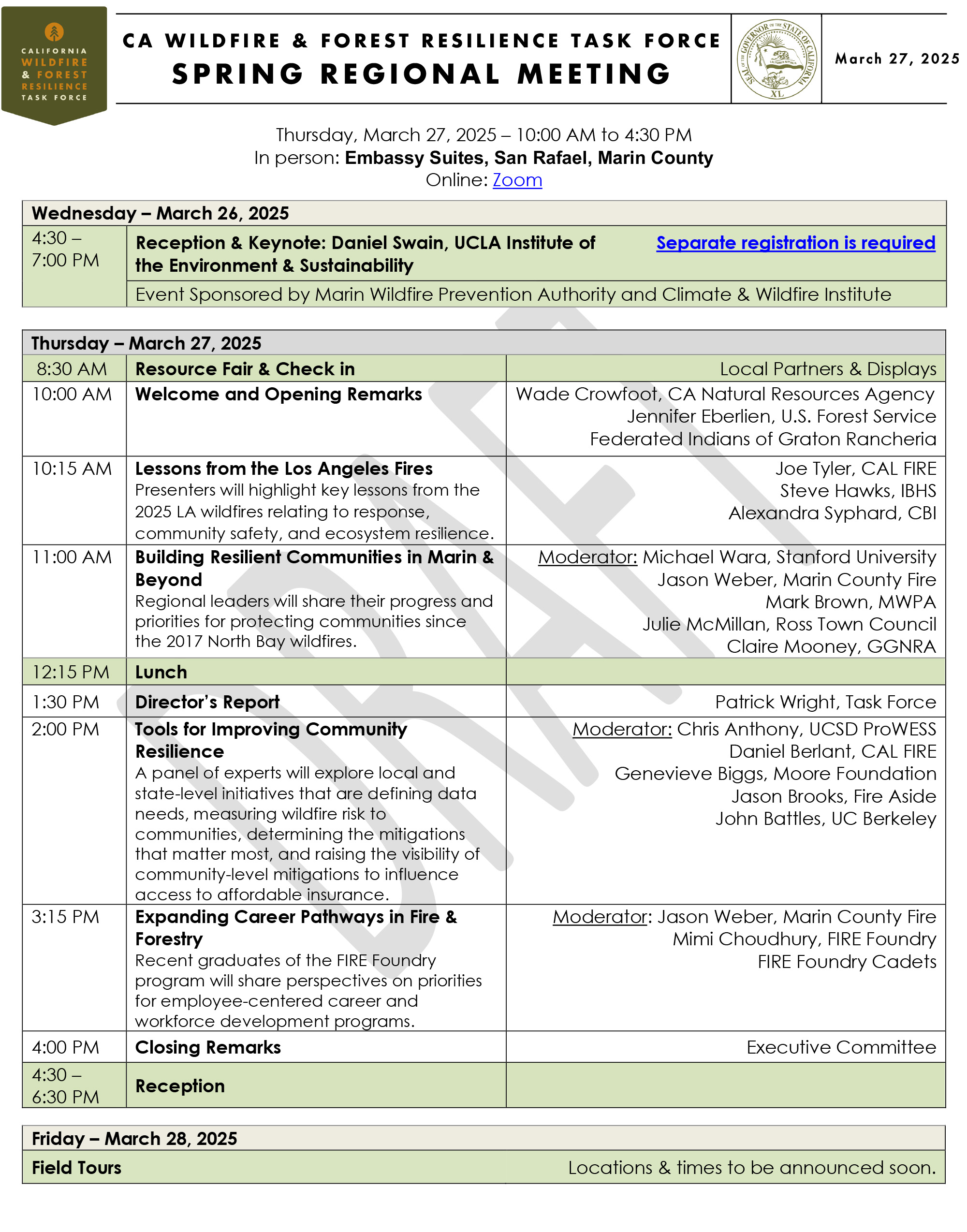
The Marin Wildfire Prevention Authority and Fire Safe Marin are hosting the California Wildfire and Forest Resilience Task Force Regional Meeting March 27 at the Embassy Suites in San Rafael, California. A remote attendance option will be available via Zoom.
The meeting on March 27 will focus on critical issues related to community wildfire risk reduction and landscape management in Marin County. We will kick off the day with refreshments and a resource fair.
On March 28, Task Force partners will host field tours offering immersive opportunities to better understand the critical landscape health and wildfire resilience work being done in Marin County and the greater Bay Area.
New for this meeting! The Climate and Wildfire Institute and Marin Wildfire Prevention Authority are hosting special Keynote Speaker Event the evening of March 26 at the Embassy Suites.
EVENT SCHEDULE
March 26
Keynote Speaker Night – Wildfires and Climate Change in California
Separate registration is required!
Marin Wildfire Prevention Authority and Climate and Wildfire Institute present Dr. Daniel Swain, renowned climate scientist from the University of California, Los Angeles who will present his research on climate and wildfire with a special emphasis on what we can learn from the recent Los Angeles fires.
Reception: 4:30 p.m – 6 p.m.
Keynote: 6 p.m – 7p.m.
March 27
Spring Regional Meeting
– Resource Fair – 8:30 a.m. to 10:00 a.m.
– Morning Session – 10:00 a.m. to 12:15 p.m.
– Lunch – 12:30 a.m. to 1:30 p.m.
– Afternoon Session – 1:30 p.m. to 4:30 p.m.
– Reception at Embassy Suites – 4:30 p.m. to 6:30 p.m. (Meeting registration is required.)
March 28
field tours
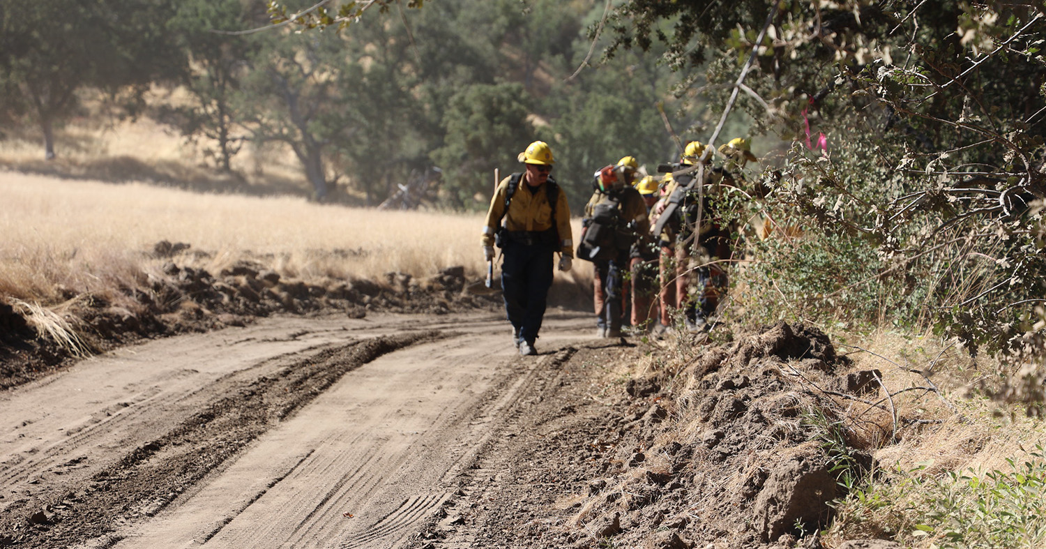
China Camp State Park: Prescribed Burning & Workforce Development
30+ Years of Collaboration To Promote More Resilient Human and Natural Communities at China Camp State Park
Visit China Camp State Park and hear about how a unique 30-year collaboration between State Parks, local fire agencies, and the FIRE Foundry has helped protect the Park’s hardwood forests and the adjacent homes in the WUI of San Rafael.
Pack a lunch and take a walk with sweeping views of San Francisco and San Pablo bays while learning about recent fuels reduction and prescribed fire treatments and the role of the FIRE Foundry in accomplishing the work. The FIRE Foundry is a workforce development and education program created in 2022 to support underserved and under-represented individuals in navigating a career in the fire service.
Start/End Time: 9:30 a.m. to approximately 1 p.m.
Meet: Embassy Suites San Rafael
Transport: Car caravan & vans available
Notes: Bring lunch. Prepare to hike on dirt roads and uneven terrain for 1.5 miles with up to 300 feet elevation gain.
Mountain Bike Tour of Marin County’s Camp Tamarancho
Public/Private Partnership to Promote Wildfire Prevention, Public Safety, and Sustainable Recreation
Bring your mountain bike (or rent one) and tour 412-acre Camp Tamarancho with amazing views of the North Bay stretching from Mt. Tamalpais to Mt. Diablo.
Learn about the multi-faceted fire preparedness work completed by Marin County to protect the communities of Fairfax & Woodacre while promoting safe and sustainable public recreation on the property.
Start/End Time: 9:00 a.m. to 2 p.m.
Meet: Splitrock Tap & Wheel – Fairfax
Transport: Mountain or e-mountain bike + full safety gear (rentals available)
Notes: Minimum intermediate cycling ability preferred for riding on fire roads and some technical single track.
– Bike rentals are available in Fairfax at Sunshine Bicycle Center and Splitrock Tap & Wheel.
Tomales Bay Forest Health and Wildfire Resilience Project
A Precedent-Setting Partnership & Tribal Collaboration Project
Pack a lunch and join California State Parks and the Golden Gate National Parks Conservancy for a tour of Tomales Bay State Park. Learn how the One Tam collaborative partnered with the Federated Indians of Graton Rancheria to develop an RFFC-funded Regional Priority Plan for Marin County, and how California State Parks leveraged the Marin Regional Forest Health Strategy to include Tribal participation in the Coastal Development Permit and CalVTP process.
Start/End Time: 9:30 a.m. to 12:30 p.m.
Meet: Vista Point Picnic Area – Inverness
Transport: 50-minute drive from San Rafael – Carpooling Encouraged – Parking Passes Provided
Notes: Prepare to hike on dirt roads and uneven terrain for 2.5 miles with up to 400 feet elevation gain.
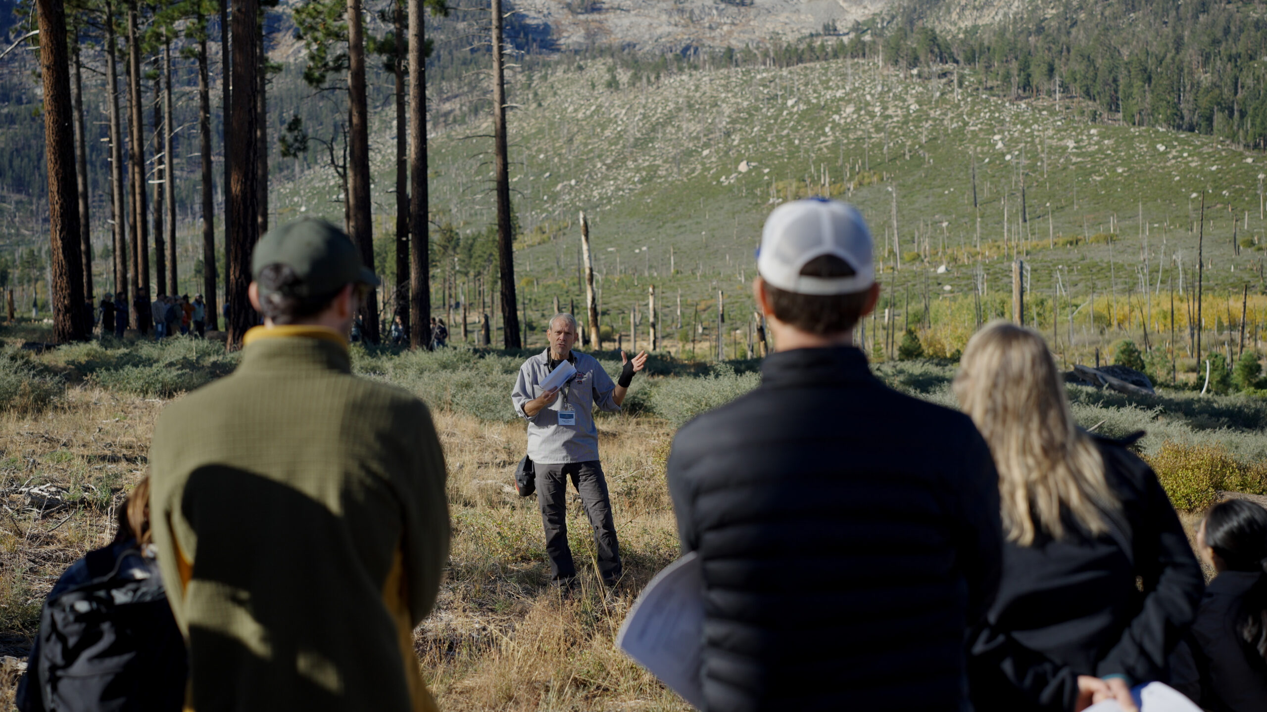
Forest and Watershed Resilience on Mt. Tamalpais
Reflections on 5-years of Management to Increase Forest Resilience on Mt. Tamalpais Watershed to Protect the County’s Water Supply
On a beautiful hike through Mt. Tamalpais Watershed’s mixed-conifer forests and oak woodlands, review forest health and fuels reduction treatments, view and learn about recent prescribed burning sites, and discuss management designed to address impacts from weeds, fire exclusion, and pathogen impacts. The hike ends with a bring-your-own picnic lunch atop Mt. Tam’s West Peak with panoramic views of the San Francisco Bay Area.
Start/End Time: 9:30 a.m. to 12:30 p.m.
Meet: Quarry Parking Lot – E. Ridgecrest Blvd at Lagunitas Rock Springs Road
Transport: 40-minute drive from San Rafael – Carpooling Encouraged – Parking Passes Provided
Notes: Prepare to hike on dirt roads and uneven terrain for 2.5 miles with up to 500-feet elevation gain.
Forest and Fire Ecology: The Old Growth Coast Redwoods of Muir Woods National Monument
National Park Service Efforts to Bring Beneficial Fire Back to Marin’s Iconic Old Growth Redwood Forests
Join National Park Service natural resource and interpretive staff on a hike through the majestic old-growth coast redwoods of Muir Woods National Monument. Planning is underway to bring prescribed fire back to Muir Woods for the first time in decades, and the One Tam collaborative behind the Marin Regional Forest Health Strategy / Regional Priority Plan is helping to make it happen.
Learn about the significance and inner workings of this unique and remnant habitat while strolling the Main Trail with its bridges and boardwalks along Redwood Creek and through the remarkable Cathedral Grove.
Start/End Time: 9:00 a.m. to 1:30 p.m.
Meet: Embassy Suites San Rafael
Transport: MWPA to coordinate vans
Notes: Café on site or bring lunch. Prepare to hike on smooth terrain and gentle grade for 2 miles.
Greater Novato Shaded Fuel Break Tour
Creating an Expanded Defensible Space Buffer Around the Novato Community
Learn how Novato Fire District, Marin County Parks, and Marin Wildfire are using the CalVTP process, a CAL FIRE Wildfire Prevention grant, and two tax revenues to fund a 60-mile expanded defensible space project around the entire community of Novato. This tour will feature field presentations at three locations that focus on the CalVTP process, collaborative treatments, and prescribed burning.
Start/End Time: 9:00 a.m. to 1:30 p.m.
Meet: South Hamilton Park – Novato
Transport: Self-Driving – 3 Stops, Starting 15 minutes from San Rafael – Carpooling Encouraged
Notes: Bring lunch. Prepare to hike on smooth terrain and gentle grade for 2 miles.

Questions? Please contact foresttaskforce@fire.ca.gov
Thank You to our Hosts
Thank You to our Sponsors


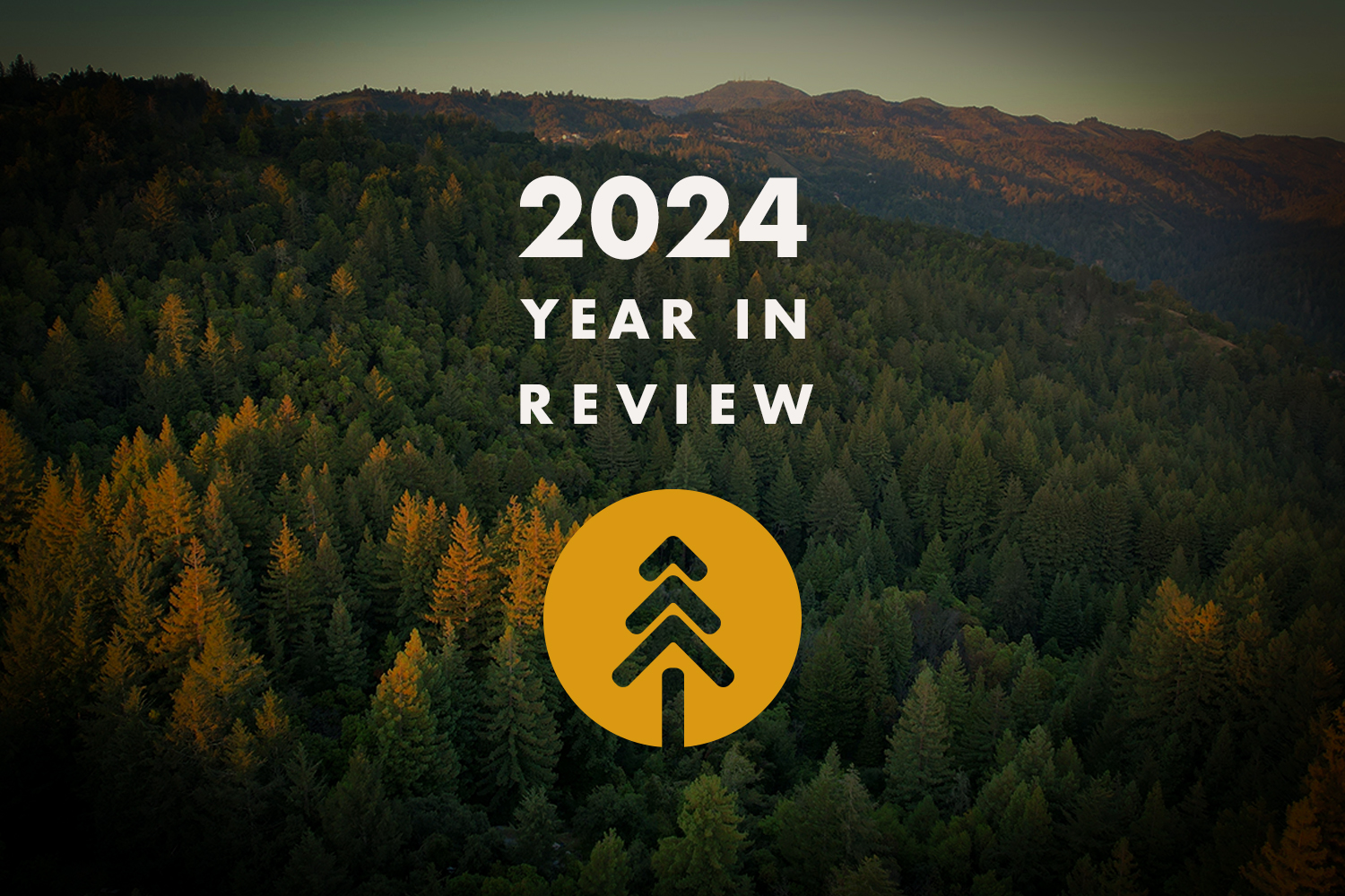
See Highlights From a Busy Year for the Task Force
ADVANCEMENTS IN MEASURING PROGRESS
Interagency Treatment Dashboard Shows Progress Toward Resilience
The updated Dashboard shows three years of data with treatments on 700,000 acres in 2023 and prescribed fire acres more than doubling between 2021 and 2023.
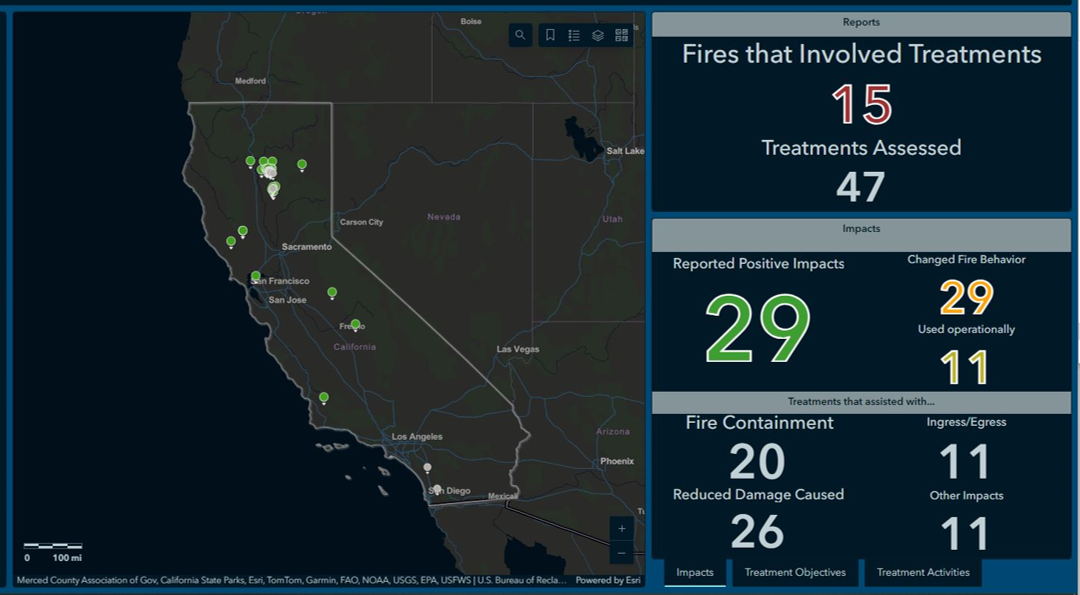
New CAL FIRE Dashboard Shows Effectiveness of Fuels Treatments
The dashboard shows on-the-ground projects protecting communities and landscapes from recent wildfires.
New Webpage Brings Together California’s Wildfire and Landscape Resilience Monitoring and Assessment Programs
Centralized resource provides detailed information on California’s various monitoring and assessment programs to understand the complementary relationship between these efforts.
ABOUT THE TASK FORCE
The California Wildfire & Forest Resilience Task Force was created by the Office of Governor Gavin Newsom to directly confront the near perfect storm of climatic and human-caused conditions that have brought the threat of devastating wildfire and its far-reaching effects to the doorstep of nearly everyone in our state, and beyond.
The Task Force is a collaborative effort to align the activities of federal, state, local, public, private, and tribal organizations to support programs and projects tailored to the priorities and risks of each region and bring the best available science to forest management and community protection efforts.
The critical work of the Task Force effects all Californians, and Task Force meetings offer an ideal opportunity for members of the press to hear directly from those involved in the comprehensive, coordinated efforts to reduce the risk of catastrophic wildfires and create safe communities while ensuring healthier, more sustainable natural environments.
MORE 2024 HIGHLIGHTS
California Passes Proposition 4 – Providing $1.5 Billion for Wildfire Resilience
The approval of Prop 4 is a major advancement for California to reach goals set in the Wildfire and Forest Resilience Action Plan.
U.S. Forest Service Completes Record Setting Year for Prescribed Fire
The U.S. Forest Service successfully treated over 72,000 acres with prescribed fire in California during the 2024 fiscal year.

Leading Researchers Share Science Synthesis to Drive California’s Actions to Improve Wildfire Resilience
At the December 13 meeting in Sacramento, a panel of scientists presented new findings to guide California’s efforts to respond to increasing wildfire risks in a changing climate.
Regional Meetings in San Diego and Lake Tahoe
Two regional meeting were held in 2024, along with two more in Sacramento. Hundreds of people came away from the meetings having learned new information, and having made new connections, and inspired to make positive change.
Join Us at our Upcoming Meetings
• March 27 & 28: Marin County
• June 6: Sacramento
• September 4 & 5: TBD
• December 12: Sacramento
SPREAD THE WORD IN 2025
Promote the Task Force in Your Communications
Task Force communications provides an important source of vital information that covers the combined effort of all organizations involved in landscape resilience and the prevention of wildfires in California. Please follow and share Task Force communications when you can.
Share the Task Force E-Newsletter
Do you know someone who will appreciate getting the latest progress from the Task Force? Click below to help others stay in the know.
Recovering Private Lands Through Emergency Forest Restoration Teams
Recovering Private Lands Through Emergency Forest Restoration Teams
December 11, 2024 – While non-industrial private forests make up roughly a quarter of California’s forested land, they often don’t have any pre-established funding or plans for immediate restoration after a wildfire. To address this critical gap, the Task Force Action Plan (Action Item 1.14) calls for the establishment of Emergency Forest Restoration Teams (EFRTs) to help small private forestland owners recover their lands. In 2021, three pilot EFRTs were developed in response to the Dixie, Tamarack and Caldor fires. By the end of 2023, the three programs had removed dead trees from 2,500 acres and planted new trees on 1,400 acres. These pilot EFRTs are proving successful and there are now 15 EFRT programs established across the state.
button test
California's Wildfire Task Force Continues Nation-Leading Efforts To Protect Communities, Unveils New Tools And Data
Recently Updated with 2024 Data
Leading Scientists Share Latest Findings to Improve Wildfire Resilience at December 13 Meeting
TASK FORCE SACRAMENTO MEETING
Friday, December 13, 2024 - 9:30 AM to 12:00 PM
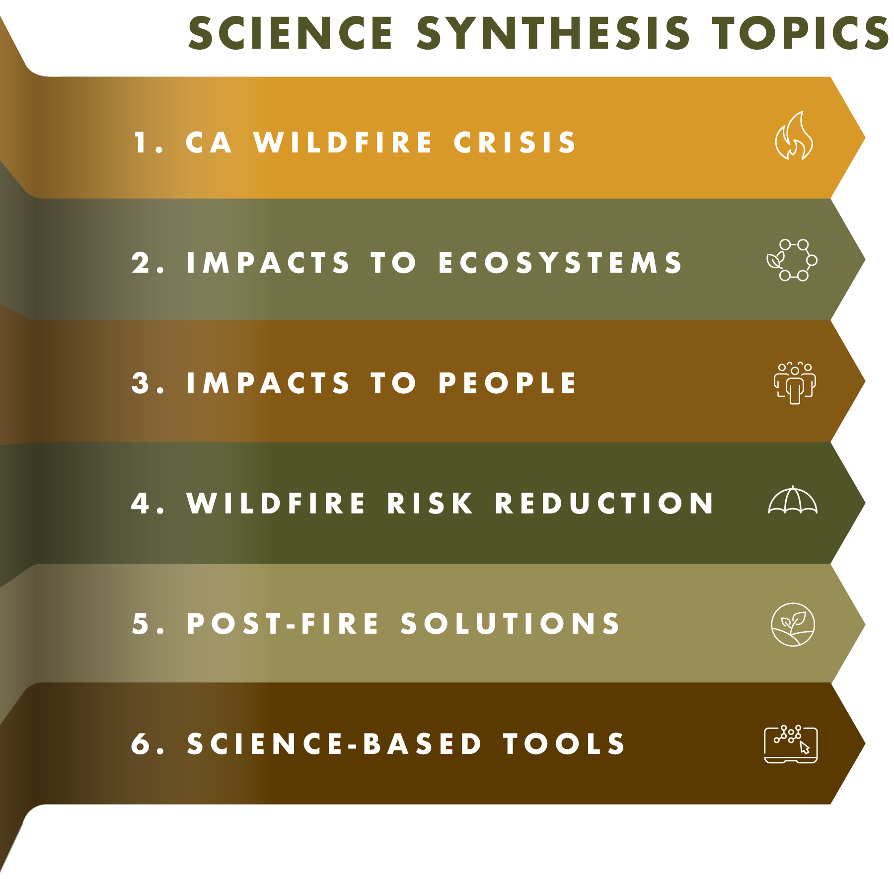
The December 13 Task Force meeting in Sacramento will focus on the Science Synthesis Project, showcasing the latest findings and recommendations from leading scientists guiding the state’s efforts to minimize the risk of destructive wildfires. The Task Force’s Science Advisory Panel has identified key findings to drive action, save lives, protect communities, and reduce wildfire risks throughout California. The synthesis is distilled into six "key messages," each designed to guide funding strategies, prioritize programs, and champion sustained investment in effective wildfire management approaches.
Sound science is at the very core of a successful strategy for wildfire and landscape resilience. The Task Force Science Advisory Panel is comprised of top scientists working across a range of disciplines. Their direction ensures California’s investments in protecting communities and natural environments are working as effectively and efficiently as possible.
FEATURED PANEL - SYNTHESIS OF SCIENCE
Through a series of panel discussions, members of the Task Force’s Science Advisory Panel will provide highlights from a synthesis of scientific findings since 2021 on issues related to wildfire and landscape resilience that will help inform the Task Force’s 2025 Action Plan.

Steve Ostoja
Moderator – USDA CA Climate Hub

Scott Stephens
UC Berkeley

Malcolm P. North
USDA Pacific Southwest Research Station

Chris Fettig
USDA Pacific Southwest Research Station
Lenya Quinn-Davidson
UC Agriculture & Natural Resources

Emily Schlickman
UC Davis

Don Lindsay
CA Department of Conservation
Dana Walsh
U.S. Forest Service

Brandon Collins
U.S. Forest Service
MEETING SCHEDULE
Attend in person at the CNRA Auditorium
715 P St. Sacramento (no registration required) or via Zoom
9:30 AM
Welcome and Opening Remarks
9:50 AM
Director’s Report
• Task Force Update
• 2025 Action Plan Overview
Update on Task Force priorities & key accomplishments.
10:00 AM
Forest and Rangeland Assessment
10:10 AM
Synthesis of the Science
Through a series of panel discussions, members of the Task Force’s Science Advisory Panel will provide highlights from a synthesis of scientific findings since 2021 on issues related to wildfire and landscape resilience that will help inform the Task Force’s 2025 Action Plan.
10:15 AM
How did we get here and why does it matter?
• Wildfires and Ecosystems
• Wildfires and Communities
10:40 AM
What have we learned about what works and where we go from here?
Part 1: Landscape Resilience & Community Protection
• Community Protection
• Treatment Effectiveness & Limitations
• Strategic Fire Management
11:20 AM
Part 2: Post-Fire Considerations
• Post-Fire Management Interventions
• Climate-Informed Reforestation
• Debris Flows
11:55 AM
Closing Remarks
Task Force to Showcase Latest Science Driving California’s Actions to Improve Wildfire Resilience
Task Force to Showcase Latest Science Driving California’s Actions to Improve Wildfire Resilience
On December 13, the Task Force will host a meeting in Sacramento that will highlight recent research that is guiding California’s efforts to respond to increasing wildfire risks in a changing climate. The Task Force’s Science Advisory Panel will be joined by scientists at the forefront of wildfire research to provide a synthesis of key findings on reducing the risk of catastrophic wildfire, impacts of wildfire to ecosystems and public health, post-fire restoration, and new technologies and innovations to accelerate progress toward resilience. These findings will help inform the Task Force’s 2025 Action Plan to ensure the plan is based on the latest science being published by leading researchers from across California. The meeting will also feature a preview of CAL FIRE’s 2024 Forest and Rangelands Assessment. The meeting will be held from 9 a.m. to 12 p.m. in the CNRA Auditorium, 715 P St., Sacramento (no registration necessary) and Via Zoom (registration required).
State and Federal Investments Conserve Forestlands in Perpetuity
State and Federal Investments Conserve Forestlands in Perpetuity
October 29, 2024 – CAL FIRE and the U.S. Forest Service have announced grant awards to protect forestlands threatened with conversion to non-forest uses. Together, these investments improve forest health and reduce wildfire risk throughout the state.
CAL FIRE awarded $8.5 million through California Forest Legacy to four projects that ensure long-term land stewardship on properties that will continue to provide, in perpetuity, such benefits as sustainable timber production, wildlife habitat, recreation opportunities, carbon sequestration, watershed protection, and open space. One funded project will enable the Colfax-Todds Valley Consolidated Tribe to acquire the Owl Creek property in Placer County; while Placer Land Trust will hold a conservation easement to ensure protection of the property, the Tribe will manage the land using Indigenous management practices.
The USFS awarded more than $265 million to 21 projects nationwide through the federal Forest Legacy program to conserve nearly 335,000 acres of private forestlands. In California, a $1.5 million grant will conserve 94 acres of unique montane mixed-conifer forest in the recreation destination of Lake Arrowhead, east of Los Angeles. The property provides habitat for 7 federal and 4 state species of concern.