Sierra Nevada Regional Profile
About The Sierra Nevada Region
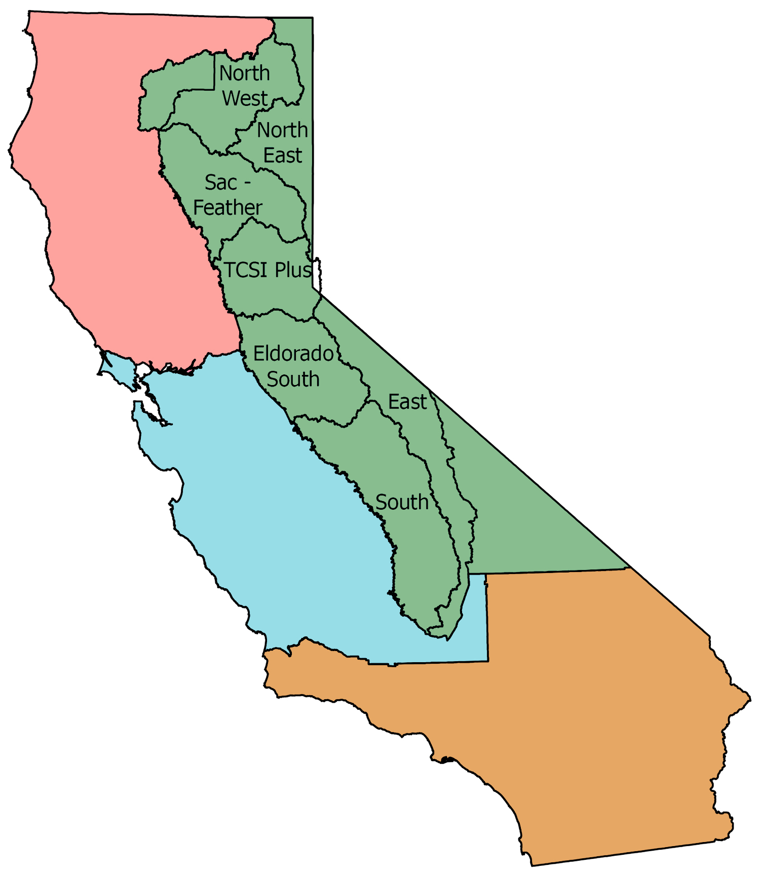
The Sierra Nevada Region includes the Sierra Nevada, Southern Cascades and Eastside or Inyo region. It is home to over 880,000 people across 23 counties and encompasses one of the largest stretches of protected wilderness in the nation.
The Sierra region is 90% natural and working lands. In general, oak woodlands and shrublands occur at lower elevations, rising to mixed conifer forests at middle elevations, and red fir and subalpine forests at higher elevations.
Today, human presence (communities, infrastructure, and recreation sites) tends to be concentrated in low to mid elevation mixed-conifer forests, which increases both the risk from fire and risk of accidental ignitions. In addition, historical land management practices and fire suppression created dense forest conditions that are particularly susceptible to the effects of current climate-driven stressors.
The changing climate is impacting annual weather patterns and snowpack accumulation and retention. Consequently, the vegetation types across the region are at increased risk to catastrophic fire and other climate mediated stressors like severe drought. Managing these forest and other vegetation types to a healthy condition will offer the greatest chance to be resilient to our future climate.
Sierra Nevada Regional Profile (PDF)