
CAL FIRE Launches Forest Health Education Campaign
CAL FIRE Launches Forest Health Education Campaign
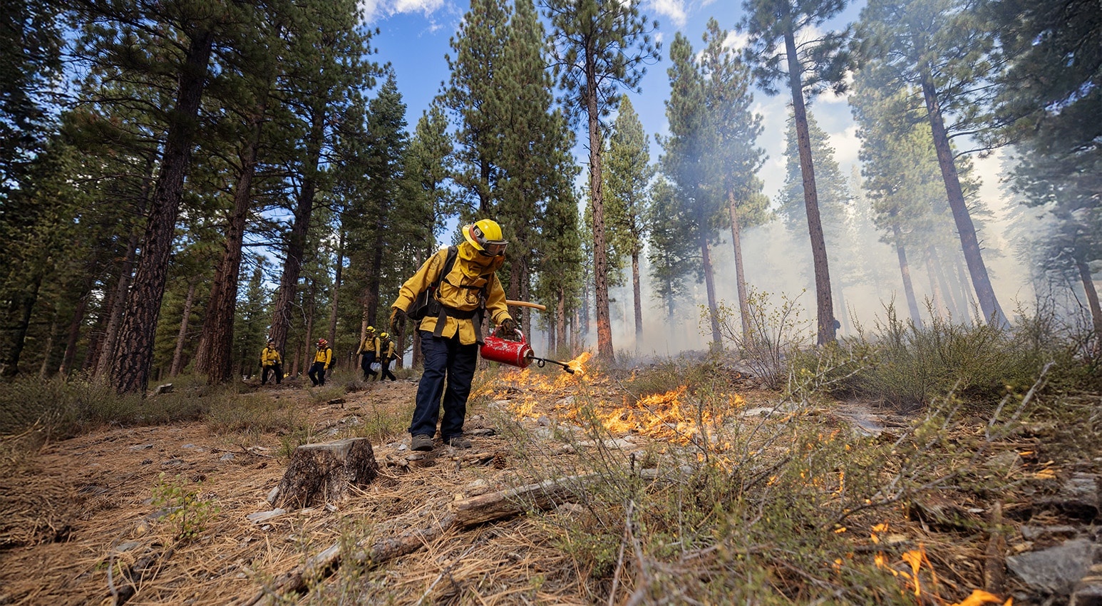
February 17, 2026 – CAL FIRE launched a new 2026 forest health media and education campaign. The campaign is aimed at helping Californians better understand the role healthy forests play in mitigating the growing wildfire threat and highlights the actions we can take together to reduce risk and protect lives, communities, and natural resources. A key focus of the campaign is highlighting proactive forest management, including beneficial fire as well as the important role individuals play at home and in their communities to prepare for wildfire through home hardening and by creating and maintaining defensible space. To support wildfire resilience messaging and public awareness, the campaign includes a new toolkit that contains easily customizable graphics and copy for use on social media, banners, and billboards.
June 6 Sacramento Meeting Recap
SACRAMENTO TASK FORCE MEETING RECAP
June 6, 2025
The Task Force quarterly meeting at the California Natural Resources Agency in Sacramento brought together regional leaders for a provocative conversation about how we can most efficiently expend state dollars to meet the state’s wildfire needs.
Thanks to the Governor and the Legislature more than $1.5 billion is available to spend on wildfire resilience projects throughout the state. At the Task Force meeting, a panel of regional leaders offered their insights on how to most efficiently and effectively expend those funds to meet their priorities, along with how they are organizing to align with state goals and drive rapid wildfire resilience work on the ground.
A second panel of agency leaders discussed how they’re coordinating across programs and funding sources, including Prop 4, to support regional partners and accelerate on-the-ground wildfire resilience.
Welcome & Executive Remarks
Co-chairs
- Wade Crowfoot, California Natural Resources Agency
- Chris Feutrier, U.S. Forest Service
Task Force Executive Committee
- Anale Burlew, CAL FIRE
- Joe Stout, Bureau of Land Management
- Katy Landau, California Environmental Protection Agency
- Don Hankins, Indigenous Stewardship Network
- Abby Edwards, Office of Land Use and Climate Innovation
- Doug Teeter, Rural County Representatives of California
Director’s Report
Director’s Report
Patrick Wright, Wildfire and Forest Resilience Task Force
Regional Progress in Planning & Priority Setting
Regional Progress in Planning & Priority Setting
Moderator: Angie Lottes, CA State Parks
Southern California: Jeff Heys, U.S. Forest Service
Sierra Nevada: Sarah Campe, Sierra Nevada Conservancy – Paul Ringold, Giant Sequoia Lands Coalition
Northern California: Karen Gaffney, North Coast Resource Partnership – Alison Blodorn, Inner Coast Collaborative
Central Coast: Kostoula Vallianos, CA Coastal Conservancy – Timothy Federal, San Mateo RCD
Agency Preparations for Regional Funding
Moderator: Nick Goulette, Watershed Center
Lisa Lien-Mager, CA Natural Resources Agency
Shanna Atherton, Department of Conservation
Alan Talhelm, CAL FIRE
Angie Avery, Sierra Nevada Conservancy
Evyan Borgnis Sloane, CA Coastal Conservancy
Rebecca Fris, Wildlife Conservation Board
Closing Remarks
Task Force Executive Committee
Leading Scientists Shared Latest Findings on Wildfire Resilience at December 13 Meeting. Recap Now Available.
SACRAMENTO TASK FORCE MEETING RECAP
December 13, 2024
The Task Force quarterly meeting at the California Natural Resources Agency in Sacramento featured leading scientists discussing their findings on what is working and what we need to improve on to address California’s wildfire crisis.
The lively and candid conversations challenged California’s climate leaders to take a hard look at existing priorities and ensure the latest science is being used to inform the state’s policies to reduce the risks of catastrophic wildfire and restore healthy natural landscapes in the face of climate change. Findings shared at the meeting were part of a Science Synthesis that will help inform the Task Force’s 2025 Action Plan.
Highlights Include:
Forest & Rangeland Assessment: Jamie Lydersen from CAL FIRE provided a preview on the upcoming release of an updated FRAP report that informs leaders and land managers at a statewide level using data-based indicators to show current state and recent trends on California forests and rangelands.
Synthesis of Science
Through a series of panel discussions, members of the Task Force’s Science Advisory Panel provided highlights from a synthesis of scientific findings since 2021 on issues related to wildfire and landscape resilience that will help inform the Task Force’s 2025 Action Plan. Topics covered included:
- How did we get here and why does it matter?
- What have we learned about what works and where we go from here?
- Part 1: Landscape Resilience & Community Protection
- Part 2: Post-Fire Considerations
Welcome & Executive Remarks
Co-chairs
- Wade Crowfoot, California Natural Resources Agency
- Jennifer Eberlien, U.S. Forest Service
Task Force Executive Committee
- Anale Burlew, CAL FIRE
- Joe Stout, Bureau of Land Management
- Katy Landau, California Environmental Protection Agency
- Don Hankins, Indigenous Stewardship Network
- Abby Edwards, Office of Land Use and Climate Innovation
- Doug Teeter, Rural County Representatives of California
Director’s Report
Director’s Report
Patrick Wright, Wildfire and Forest Resilience Task Force
Forest and Rangeland Assessment
Forest and Rangeland Assessment
Jamie Lydersen, CAL FIRE
Science Synthesis: How did we get here and why does it matter?
Science Synthesis: How did we get here and why does it matter?
Moderator: Steve Ostoja, USDA Climate Hub
Chris Fettig, U.S. Forest Service, Pacific Southwest Research Station
Lenya Quinn-Davidson, U.C. Agriculture & Natural Resources
Science Synthesis: What have we learned about what works and where we go from here?
Part 1: Landscape Resilience & Community Protection
Moderator: Steve Ostoja, USDA Climate Hub
Emily Schlickman, U.C. Davis
Scott Stephens, U.C. Berkeley
Malcolm North, U.S. Forest Service, Pacific Southwest Research Station
Science Synthesis: What have we learned about what works and where we go from here?
Part 2: Post-Fire Considerations
Moderator: Malcolm North, U.S. Forest Service, Pacific Southwest Research Station
Brandon Collins, U.S. Forest Service
Dana Walsh, U.S. Forest Service
Don Lindsay, California Department of Conservation
Closing Remarks
Task Force Executive Committee

New Film On CA’s First Spanish Language Prescribed Fire Training Exchange
Documentary Showcases California’s First Spanish Language Prescribed Fire Training Exchange
October 24, 2024 – A new documentary, titled Voces del Fuego (Voices of Fire), tells the story of California’s first Spanish language Prescribed Fire Training Exchange (TREX) which was hosted by the Watershed Research and Training Center for two weeks in October 2023. You can see it online now at the Fire Adapted Communities Learning Network website. The film provides a vibrant testimony of how fire shapes landscapes, communities, and cultures. The documentary highlights the importance of incorporating diverse perspectives and cultures in wildfire and landscape management.
Meeting Showcases California's Momentum Toward Wildfire Resilience
Meeting Showcases California's Momentum Toward Wildfire Resilience
October 10, 2024
At the Task Force’s most well-attended meeting to-date, nearly 500 people gathered in South Lake Tahoe (and over 300 joined online) for the Sierra Nevada Regional Meeting. Hosted by the California Tahoe Conservancy and Tahoe Fund, the meeting featured several new tools that will revolutionize how California tracks and communicates progress toward improving wildfire and landscape resilience. Other topics covered included progress being made in the Tahoe Basin and the benefits of landscape fuels treatments to vibrant ecosystems and economically thriving communities.
REGIONAL MEETING AGENDA HIGHLIGHTS
• Director’s Report: Director Wright provided an update on recent accomplishments and investments in the Sierra Nevada and a preview of the 2025 Action Plan.
• Statewide Progress on Wildfire Resilience Efforts
– Interagency Treatment Dashboard
– Core Reporting Metrics
– Treatment Effectiveness.
• State & Regional Presentations
– Protecting & Restoring Tahoe: Tahoe partners shared their progress and priorities for advancing state, regional, and local goals through the Environmental Improvement Program.
– Focus on Wildlife – A Vision for Vibrant Ecosystems: A panel of state and regional leaders discussed next steps for evolving large-landscape projects to promote comprehensive climate, watershed, and wildlife benefits.
– Focus on Recreation – A Vision for Thriving Communities: A panel of regional leaders discussed how Sierra partners are broadening planning and implementation to promote recreation and rural economies.
Welcome & Opening Remarks
• Wade Crowfoot, CA Natural Resources Agency
• Kara Chadwick, US Forest Service
• Serra Smokey, Washoe Tribe of NV & CA
• James Settelmeyer, NV Dept. Conservation & Natural Resources
• Joe Tyler, CAL FIRE
Director's Report
• Patrick Wright, Task Force
Statewide Progress on Wildfire Resilience Efforts
Moderator: John Battles, UC Berkeley
• Alan Talhelm and Emily Brodie, CAL FIRE
• MV Eitzel, UC Davis
• Frank Bigelow, CAL FIRE
Tools:
• Monitoring, Reporting & Assessment Page
• Interagency Treatment Dashboard
• CAL FIRE’s Fuels Treatment Effectiveness Reports
Protecting & Restoring Tahoe
• Kacey KC, Nevada Division of Forestry
• Jason Vasques, Tahoe Conservancy
• Julie Regan, Tahoe Reg. Planning Agency
Focus on Wildlife – A Vision for Vibrant Ecosystems
Moderator: Erin Ernst, Tahoe Conservancy
• Stephanie Coppeto, US Forest Service
• Rachel Henry, US Fish & Wildlife Service
• Rich Adams, CA State Parks
• Rhiana Jones, Washoe Tribe of NV & CA
• Meghan Hertel, CA Natural Resources Agency
Focus on Recreation – A Vision for Thriving Communities
Moderator: Danna Stroud, GoBiz
• Amy Berry, Tahoe Fund
• Stew McMorrow, CAL FIRE
• Luke Hunt, Sierra Nevada Conservancy
• Michelle Abramson, Sierra Buttes Trails
• John Wentworth, MLTPA
Closing Remarks
• Task Force Co-Chairs
Sierra Nevada Regional Meeting Event 2024
Welcome ToThe Sierra Nevada
Regional Meeting
Event schedule
8:30 – 10:00 a.m. Resource Fair
10 a.m. – 12:15 p.m. Morning Session
12:15 – 1:30 p.m. Lunch
1:30 – 3:15 p.m. Afternoon Session
3:30 – 4:30 p.m. Small Group Discussion
4:30 – 6:00 p.m. Reception
Questions? Please contact foresttaskforce@fire.ca.gov
Thank You to our Hosts

Thank You to our Sponsors


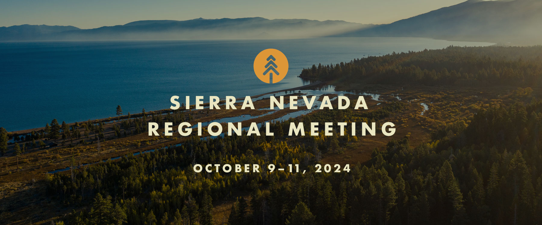
Sierra Nevada Regional Meeting
Sierra Nevada Regional Meeting
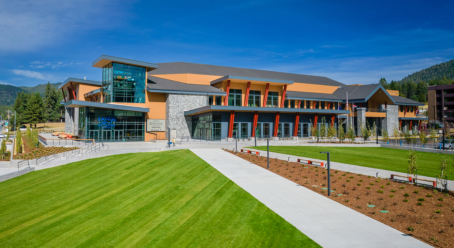
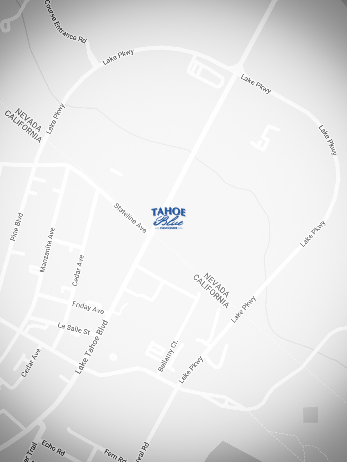
Register early to reserve your seat at the next meeting of the California Wildfire and Forest Resilience Task Force, October 10 at the Tahoe Blue Event Center in South Lake Tahoe, hosted by the California Tahoe Conservancy and the Tahoe Fund.
The Task Force and CAL FIRE will unveil several new tools that will revolutionize how California tracks and communicates progress toward improving wildfire and landscape resilience at its seventh regional meeting on October 10th in South Lake Tahoe:
Interagency Treatment Dashboard: One year after its beta release with 2022 data, CAL FIRE will present three years (2021-2023) of treatment data from a more complete range of federal, state, local, tribal, and private entities through its expanded and improved Interagency Treatment Dashboard.
Draft Metrics: Task Force Science Advisory Panel staff will present a subset of initial proposed metrics to document the outcomes of recent projects on wildfire hazard, watershed health, and wildlife habitat.
Fuel Treatment Effectiveness Dashboard: CAL FIRE will demonstrate its prototype dashboard to document the benefits of fuels treatments in reducing the impacts of recent fires, including the Park Fire in Butte and Tehama County.
CAL FIRE Director Joe Tyler will also provide a report on the current fire season, and three panels of federal, state, tribal, and regional leaders will discuss their efforts to create vibrant forest ecosystems and thriving communities through landscape-scale wildfire resilience projects.
On October 9 and 11, Task Force Partners will host field tours offering immersive opportunities to better understand the critical landscape health and wildfire resilience work being done in the Sierra Nevada region.
The $28 registration fee for the October 10 meeting offsets the cost of breakfast, refreshments, and lunch. If this fee poses a hardship, contact ForestTaskForce@fire.ca.gov.
Registration closes October 3. No registrations will be allowed after this date.
EVENT SCHEDULE
OCTOBER 10 TENTATIVE MEETING SCHEDULE
Resource Fair
8:30 – 10:00 a.m.
Morning Session
10:00 a.m. – 12:15 p.m.
Lunch
12:30 – 2 p.m.
Afternoon Session
2 p.m. – 4:30 p.m.
Reception at the Tahoe Blue Event Center
(Meeting registration is required.)
4:30 p.m. – 6:30 p.m.
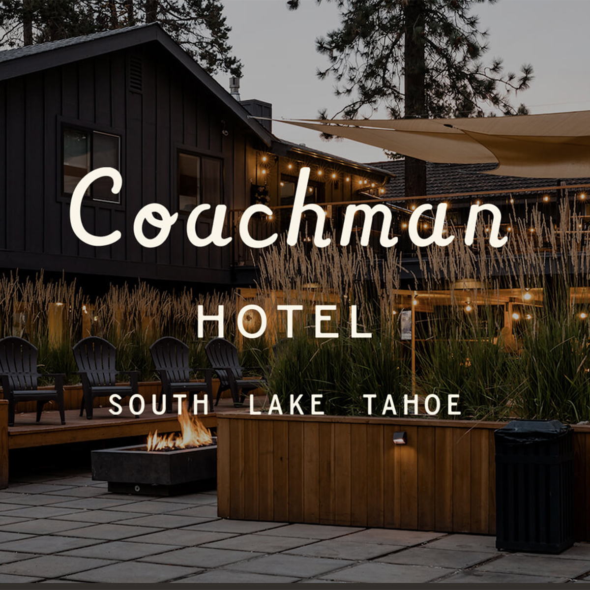
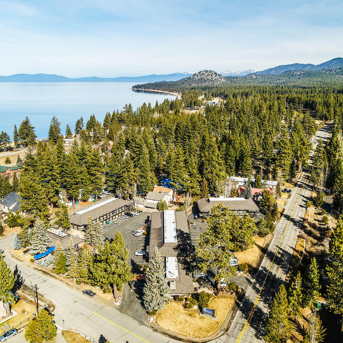
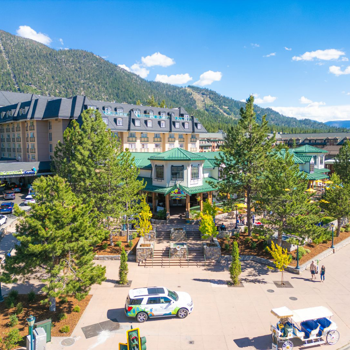
hotel information

field tours
FIELD TOURS WILL BE OFFERED ON OCT 9 & 11
All tours will be accessed by bus. Parking/meet up locations TBD.
Lunch will not be served.
Tahoe Forest Products Mill
See the first new industrial-scale sawmill built in Sierra Nevada in several decades.
Destination: Tahoe Forest Products worked in partnership with the Washoe Development Corporation an affiliate of the Washoe Tribe of Nevada & California to construct the first new industrial-scale sawmill in the Sierra Nevada in several decades. The mill provides employment opportunities for local citizens and tribal members while supporting forest health and wildfire restoration efforts throughout the Central Sierra. Visit the mill and learn about both the innovative partnerships and engineering that made this long-envisioned opportunity a reality.
Three Tours: start times will be 12:30, 1:00 and 1:30 pm.
Tour lasts approximately 2.5 hours.
Caldor Fire Preparation, Response, and Recovery
Learn what happened before, during, and after one of 2021’s largest wildfires.
Destination: This tour will showcase projects and treatments implemented prior to the 2021 Caldor Fire, successes and lessons learned during initial response to the fire, as well as the significant efforts that have helped the impacted ecosystems recover and accelerated access to recreational opportunities in this post-fire landscape. Tour stops will include Echo Summit, Christmas Valley, Pioneer Trail, and Fountain Place.
Start/End Time: 9am – 1pm
West Shore Prescribed Fire and Indigenous Stewardship
See impacts of long-term prescribed burn projects and multi-benefit ecosystem restoration.
Destination: This tour will visit the renowned Sugar Pine Point State Park to view the effects of a decades-long prescribed fire program. The tour will then explore Máyala Wáta at Meeks Meadow to learn how the Washoe Tribe is partnering with diverse groups to restore ecosystems and habitat by addressing the detrimental impacts of historical cattle grazing, logging, and fire suppression.
Start/End Time: 9am – 1pm
East Shore Shared-Use Trail and Recreation Management
Recreate on a scenic shoreline trail and learn about managing forests in high-visitation areas.
Experience by foot one of Tahoe’s most scenic and historic shoreline trails. Participants will have the opportunity to walk all or part of this spectacular 3-mile pave path while gaining insights on the challenges and solutions for managing forests in high-visitation areas.
TIME: 9am – 1pm
Questions? Please contact foresttaskforce@fire.ca.gov
Thank You to our Hosts
Thank You to our Sponsors
Recap of Sacramento 7/12 Task Force Meeting
SACRAMENTO TASK FORCE MEETING RECAP
July 12, 2024
The Task Force held its quarterly meeting at the California Natural Resources Agency in Sacramento and live on Zoom. CAL FIRE Director Joe Tyler provided an update on the current fire season and Task Force Director Patrick Wright reported on state and federal budget allocations. Then several panels of statewide and regional leaders discussed challenges and next steps for aligning and coordinating state, federal, and private funding to better support regional priority needs and increase program sustainability.
Moderated by Forest Schafer, State Coordinator with the Task Force, panels focused on three key areas related to Aligning Regional Investments:
- State & Federal Frameworks
- Expanding Partnerships
- Regional Approaches
Welcome & Executive Remarks
Co-chairs
- Wade Crowfoot, CA Natural Resources Agency
- Jennifer Eberlien, U.S. Forest Service
Task Force Executive Committee
- Patrick Wright, Wildfire & Forest Resilience Task Force
- Joe Tyler, CAL FIRE
- Valerie Hipkins, USFS Pacific Southwest Research Station
- Sam Assefa, Governor’s Office of Planning and Research
- Ed Valenzuela, California State Association of Counties
- Katy Landau, CalEPA
Director’s Report
- Patrick Wright, Wildfire and Forest Resilience Task Force
Aligning Regional Investments
State & Federal Frameworks
- Liz Berger, U.S. Forest Service
- Trevor McConchie, Washington State Department of Natural Resources
- Mary McDonnell, California Department of Conservation
- Shannon Johnson, CAL FIRE
Expanding Partnerships
- Chris Morrill, National Fish & Wildlife Foundation
- Michelle Wolfgang, Eldorado National Forest
- Sashi Sabaratnam, PG&E
- Eric Tsai, California Department of Water Resources
Regional Approaches
• Brittany Covich, Sierra Nevada Conservancy
• Karen Gaffney, North Coast Resource Partnership
• Heather Marlow, RCD of Greater San Diego
Closing Remarks
- Task Force Executive Committee
New Web Resources Help Californians Find Relief from Smoke and Prepare for Wildfires
New Web Resources Help Californians Find Relief from Smoke and Prepare for Wildfires
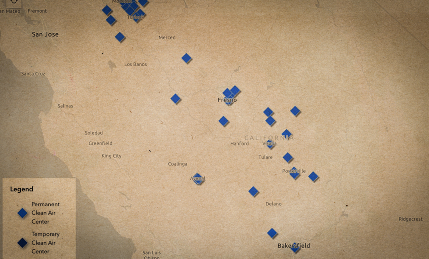
June 24, 2024 – Clean Air Centers Maps Shows Where to Find Relief from Wildfire Smoke: The California Air Resources Board announced the launch of an interactive, statewide map that offers a one-stop-shop for information about the location and services available at Clean Air Centers. Clean Air Centers will offer Californians who don’t have access to adequate air filtration a safe place to go during periods of heavy smoke. Built in collaboration with local air quality control districts, the online map makes it possible to see where Clean Air Centers are located and provides easy-to-access information, including operating hours, contact information and on-site resources like free Wi-Fi.
CAL FIRE Updates Wildfire Preparedness Website: In preparation for the fire year, CAL FIRE has updated the ReadyForWildfire.org site. This one-stop-shop provides advice and guidance on everything from home hardening and defensible space, to what to pack for evacuation, to what California is doing to enhance and protect forest health.

The Next Task Force Meeting is this Friday, July 12th
The Next Task Force Meeting is this Friday, July 12th
Join us in person in Sacramento (no registration needed) or remotely via Zoom. The agenda will include an update on the current fire season from CAL FIRE Director Joe Tyler, a report on state and federal budget allocations from Task Force Director Patrick Wright, and a session on aligning and coordinating state, federal and private funding to better support regional priorities.
Friday, July 12, 2024 – 9:00 AM to 12:15 PM
In person: CA Natural Resources Agency Auditorium, 715 P St., Sacramento, CA
Online: Register for Zoom