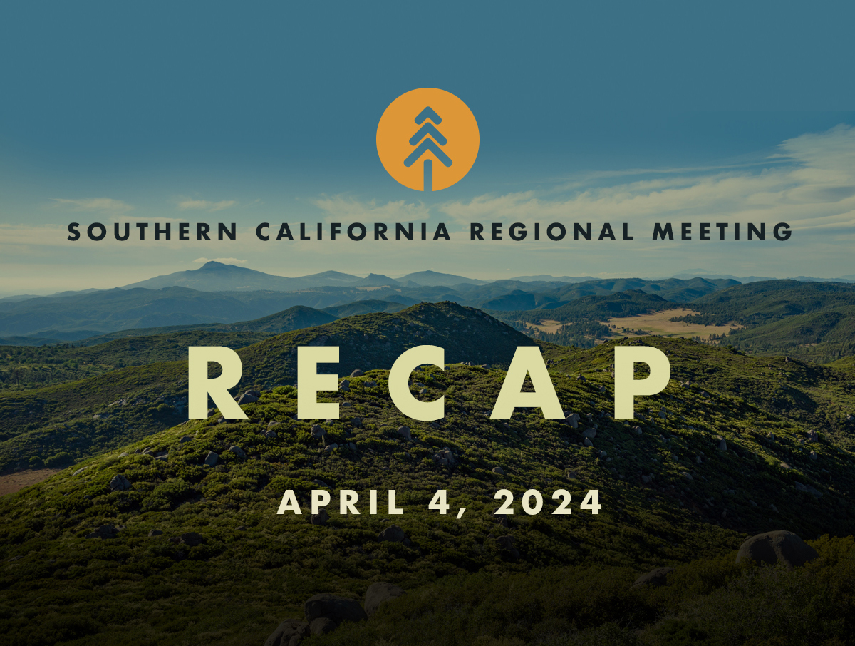
Recap of The Southern California Regional Meeting
SOUTHERN CALIFORNIA REGIONAL MEETING RECAP
April 4, 2024
A full-capacity audience of over 300 people came together at the San Diego Zoo Safari Park in Escondido (with over 200 joining online) for the Governor’s Wildfire & Forest Resilience Task Force’s Southern California regional meeting. Hosted by the Resource Conservation District of Greater San Diego County and the San Diego Zoo Wildlife Alliance, the agenda and activities focused on landscapes and land management issues unique to Southern California, including cultural burning, utilities & infrastructure, and regional planning and implementation.
If you couldn’t make it in person, or missed the real-time webinar, video recordings are available below.
REGIONAL MEETING AGENDA HIGHLIGHTS
- Director’s Report: Director Wright provided an update on recent accomplishments and investments in Southern California, progress being made on Task Force key actions and products as well as an overview of the process to update the Task Force Action Plan.
- Southern California’s Unique Landscapes & Challenges: University researchers discussed threats to the incredibly biodiverse region and management techniques needed to build ecological resilience in the densely populated, shrubland dominated region. Additionally, an update on Regional Resource Kits and how they can be utilized in the region was provided.
- Regional Leadership Panel: Regional leaders shared local project highlights and showcased their efforts to develop landscape-scale projects and align federal, state, and regional plans, priorities, and investments.
- Cultural Fire & Indigenous Stewardship: A panel of cultural practitioners and resource managers discussed obstacles and barriers facing cultural burners, including difficulties in obtaining burn permits, threats to tribal sovereignty, and the continued struggles of California tribes to overcome structural racism in order to maintain traditions and steward ancestral lands.
- The Role of Utilities & Infrastructure in Wildfire Resilience: A panel of energy, water, and transportation agency representatives discussed new and emerging strategies to address wildfire impacts to infrastructure as well as the role utilities play in reducing ignitions.
Welcome & Opening Remarks
• Lisa Peterson, San Diego Zoo Safari Park
• Stephen W. Cope, San Pasqual Band of Mission Indians
• Jennifer Eberlien, USDA Forest Service
• Task Force Executive Committee
• Joel Anderson, San Diego County Supervisor
Director's Report
• Patrick Wright, Task Force
Southern CA's Unique Landscapes & Challenges
Southern CA's Unique Landscapes & Challenges
• Megan Jennings, San Diego State University
• John Battles, University of California, Berkeley
Regional Leadership Panel
Regional Leadership Panel
• Moderator: Kathy Peterson
• Susie Kirschner, Inland Empire Resource Conservation District
• Scott Tangenberg, Cleveland National Forest
• Heather Marlow, Greater SD County Resource Conservation District
• Sal Reyes, San Bernardino National Forest
• Eric Just, CAL FIRE
Trailer Screening: MAATHAAW: The Fire Within Us
Trailer Screening: MAATHAAW: The Fire Within Us
•Learn more and donate at: qrco.de/maathaaw
Cultural Fire & Indigenous Stewardship
Cultural Fire & Indigenous Stewardship
• Moderator: Will Madrigal Jr., Climate Science Alliance
• Wesley Ruise Jr., La Jolla Band of Luiseño Indians
• Marlene’ Dusek, Climate Science Alliance
• Kevin Soland, KRS Environmental Consulting
• Emily Burgueno, Kumeyaay Diegueno Land Conservency
• Travis Armstrong, CAL FIRE
• Joel Arellano, Climate Science Alliance
The Role of Utilities & Infrastructure in Wildfire Resilience
• Moderator: Phil Saksa, Blue Forest
• Caroline Thomas Jacobs, Office of Energy Infrastructure Safety
• Thom Porter, San Diego Gas and Electric
• David Guzman, Southern California Edison
• Greg Woodside, San Bernardino Municipal Water District
• Lisa Worthington, Caltrans
Closing Remarks
• Task Force Co-Chairs
Southern California Regional Meeting
Southern California Regional Meeting
REGISTER early to reserve your seat at the next meeting of the California Wildfire and Forest Resilience Task Force, April 4 at the San Diego Zoo Safari Park in Escondido, CA.
Hosted by the RCD of Greater San Diego County and the San Diego Zoo Wildlife Alliance, the agenda and activities on April 4 will focus on landscapes and land management issues unique to Southern California. Agenda topics will include cultural burning, utilities & infrastructure, and regional planning & optimization.
On April 5, Task Force Partners will host a variety of field tours offering immersive opportunities to better understand the critical landscape health and wildfire resilience work being done in the Greater San Diego region.
REGISTRATION IS REQUIRED. Last day to register is March 27.
April 4 & 5, 2024
San Diego Zoo
Safari Park
Escondido, CA
EVENT SCHEDULE
APRIL 4: MEETING SCHEDULE
Resource Fair
8:30 – 10:00 a.m.
Morning Session
10:00 a.m. – 12:30 p.m.
Lunch
12:45 – 2 p.m.
Afternoon Session
2 p.m. – 4:30 p.m.
Free time to enjoy the Safari Park
4:30 p.m. – 7 p.m.
field tours
FIELD TOURS WILL BE OFFERED ON April 5th
Saving San Diego’s Last Mixed Conifer Forest
Destination: Join the Palomar Collaborative, a group of five federal, state, tribal, and private property owners and managers to learn how the Collaborative is utilizing CAL FIRE Forest Health funds to save San Diego’s last mixed conifer forest through a combination of mechanical thinning, pile burning, and mastication.
Tour Host: RCD of Greater San Diego County
Location: Palomar Observatory
Start/End Time: 10:00 AM – 1:00 PM
Accessibility: Some walking on dirt roads, uneven surfaces
Notes: Carpool encouraged, bring snacks/lunch, layered clothing
Applying Traditional Ecological Knowledge to Forest Health
Destination: This dyanamic tour will feature field presentations on site history, a cultural burn site and a Lumbercycle demonstration. There will also be a discussion on Traditional Ecological Knowledge, funding and collaboration, burning on trust land, and the impact of goldspotted oak borer tree mortality in the area.
Tour Host: La Jolla Band of Luiseno Indians
Location: VIEW
Start/End Time: 9:00 AM – 1:00 PM
Accessibility: Driving on dirt road (prius accessible), minimal seating available, tour will be given on mostly flat, dirt terrain
Notes: Field clothing, hat, sunscreen, bug spray, recommended. If available bring mask, eye protection, preferred hearing protection, PPE will be provided as needed for lumbercycle demo. Carpool recommended. Bring snacks.
Fire History and Frequent Fires in the Cedar Creek Falls Trail Region
Destination: Join CAL FIRE and USFS in the San Diego Country Estates / Cedar Creek Falls Trail to learn what they are doing to defend a WUI community and surrounding ecosystem from frequent fire.
Tour Host: CAL FIRE/USFS
Location: Inaja Trailhead
Start/End Time: 8:00 AM – 1:00 PM
Accessibility: 1 mile roundtrip hike on uneven terrain
Notes: Carpools encouraged. Please bring lunch, water, hat, and sunscreen. No bathrooms along trail. Limited shade / cover. Please wear appropriate footwear for hiking.
Powerlines, Roadsides, and Flashy Fuels
Destination: First, learn about the fire hardening and undergrounding work that has already been completed by San Diego Gas & Electric, along with their future risk reduction plans. Then, visit an ignition reduction demonstration site on a fuelbreak on the Cleveland National Forest (NF) designed by UC Santa Barbara and funded by the San Diego River Conservancy. You’ll see the results of herbicide use to control invasive flashy fuels followed by seeding of less ignitable native plants. Finish with a firsthand look at a BurnBot in action, the first use in Southern California and a critical test of its capability to eliminate the invasive seedbank in addition to the above-ground fuels. This collaboration was funded by the National Forest Foundation as part of the Southern California Ignition Reduction Program (SCIRP) conservation finance effort. It will also lay black line for broadcast burning of a unit on the Cleveland NF. Along the way, learn how SCIRP involves collaboration among many partners, especially CalTrans, from the Mexican border to Monterey.
Tour Host: USFS
Location: VIEW
Start/End Time: 9:00 AM – 12:30 PM
Accessibility: short walks on uneven terrain
Notes: Carpools encouraged. Closed toed shoes required. Option to bring your own lunch and eat onsite.
Postfire Restoration at Cuyamaca State Park and Prescribed Fire on Mt. Laguna
Destination: Join the California State Parks and the US Forest Service to examine first hand what CA State Parks are doing to reforest Cuyamaca Rancho SP following wildfire, and join a discussion on management approaches and the Montane Strategy at Mt Laguna. This field trip visits the location where the 2003 Cedar Fire converted 10,000 acres of montane forest to shrubland. We will highlight State Parks’ major postfire reforestation effort and the Cleveland National Forest’s forest health program for reintroducing maintenance fire into the Laguna Mountains. Stops will include locations on both Cuyamaca State Park (Hwy 79) and the Cleveland National Forest (Sunrise Hwy).
Tour Host: CA State Parks/USFS
Location: Cuyamaca State Park, Paso Picacho
Start/End Time: 8:30 AM – 1:30 PM
Accessibility: Sites will be on or adjacent to roadways, and hiking will be very limited.
Notes: Carpools encouraged. Lunch is not provided and the tour will not end before 1:30; please bring a lunch, snacks, and water. Sturdy shoes, hat and a warm layer are recommended.
Wildfire Grazing: Rancho Jamul Reserve
Description: Join conservation experts in the Rancho Jamul Ecological Reserve to learn how local ranchers, land managers, and the environmental community are utilizing a prescribed grazing plan managing livestock on a commercial cattle ranch with a goal of improving wildfire resilience, and promoting soil health and carbon storage, while achieving many other aligned environmental co-benefits.
Tour Host: CDFW
Location: VIEW
Start/End Time: 9:30 AM – 12:30 PM
Accessibility: Walking approx 1 mile on relatively flat terrain.
Notes: Carpools encouraged. Closed toed shoes required. Option to bring your own lunch and eat onsite. Binoculars encouraged.
Impacts from the Witch Creek Fire to the Bernardo Fire to Now
Destination: Join this out-and-back hike along the “River of Fire” and learn how San Dieguito River Valley Conservancy is managing invasive species and fire risk in a Southern California riparian ecosystem that has been impacted by previous wildfires.
Tour Host: San Dieguito River Valley Conservancy
Location: VIEW
Start/End Time: 9:00 AM to 2:00 PM
Accessibility: Recommended for experienced hikers – 2.8 miles out and back (5.6 miles total).
Notes: Carpools encouraged. Please bring lunch, water, hat and sunscreen. No bathrooms along trail. Limited shade / cover. Please wear appropriate footwear for hiking.
Unique Approaches to Resource Management and Emergency Response on the International Border
Destination: Spend the day exploring the Otay Mountain Wilderness Area which sits directly on the busy International Border, with stops that include the International Fuel Break. There will be discussions about partnerships with Mexico, unique species to the area, and border response challenges. The tour will offer views of the border wall, Tijuana, downtown San Diego, and the Pacific Ocean. Participants will learn about unique approaches being applied for resource management and emergency response in a border area.
Tour Host: CAL FIRE
Location: VIEW
Start/End Time: 9:30 AM to 1:30 PM
Accessibility: Optional short hike to viewpoint. Short walks on flat terrain.
Notes: We will meet at County Fire Station 38 (850 Alta Road, San Diego, CA 92154). We will be utilizing 2 CAL FIRE vans for attendee transportation. While there is no security threat, participants will see migrants on the roadway up to the tour stops. No lunch provided. Restaurant options available.
Guided Tour of Resource Management and Wildfire Mitigation Programs at the Safari Park
Destination: Venture into the Safari Park’s expansive wildlife habitats on the back of a covered, open-air safari truck, with an expert guide to get an up-close view of a variety of wildlife with a special opportunity to learn about the BioReserve. Visit San Diego Zoo Wildlife Alliance’s new Heli-Hydrant Dip Tank, and gain an understanding of SDZWA’s multi-faceted wildfire mitigation program that supports wildlife on grounds, including in our large, multi-species habitats.
Location: San Diego Zoo Safari Park Parking Lot. Meet at the Log Ring.
Start/End Time: 10 AM – 12 PM
Accessibility: Ability to climb steps into truck
Notes: Closed toe shoes required. Casual attire (layers recommended).
CAL FIRE’s Urban and Community Forestry Program in Action
Destination: A unique opportunity to go behind the scenes and see an example of the partnership between CAL FIRE and private industry. Participate in a tour of the Taylor Guitars Factory led by founder Bob Taylor. The tour will focus on the process of building Taylor Guitars and Taylor’s Urban Wood Initiative. Tour will end with a Q & A session, an opportunity to play a selection of guitars, and a visit to the gift shop.
Location: VIEW
Start/End Time: 1:00 PM – 3:30 PM
Accessibility: Parking available at factory. Tour will consist of indoor walking. Government issued ID (e.g. driver’s license) is required to participate in tour.
Notes: Lunch will not be provided. Wear comfortable walking shoes.
hotel information

Questions? Please contact foresttaskforce@fire.ca.gov
Thank You to our Hosts
Thank You to our Sponsors

The Climate Science Alliance is offering a limited number of travel stipends for Tribal partners. Contact Althea Walker, Director of Community Resilience, at awalker@climatesciencealliance.org.

Recap of Sacramento 12/15 Task Force Meeting
SACRAMENTO TASK FORCE MEETING RECAP
December 15, 2023
The Task Force held its quarterly meeting at the California Natural Resources Agency in Sacramento and live on Zoom. The primary focus of the meeting was on Fire Adapted Communities and the work being doing throughout the state to achieve more resilient communities. Some of the highlights include:
- California’s Progress on Empowering Community Adaptation: Daniel Berlant from CAL FIRE and CA Fire Safe Council’s Jacy Hyde shared updates on how both statewide programs and local communities are building adaptive capacity and improving wildfire outcomes.
- California’s Roadmap for Creating Fire Adapted Communities: Two members of the Task Force’s Fire Adapted Communities Work Group — Steve Hawks from CAL FIRE and Erik de Kok, representing Ascent Environmental — shared updates on the Work Group’s recently completed Baseline Assessment and next steps in developing a statewide roadmap for community fire adaptation.
- Regional Leaders’ Perspective on Community Resilience to Fire: In a panel moderated by Molly Mowery of Community Wildfire Planning Center, regional leaders from across the state discussed pressing issues communities are facing to better adapt to fire, and the best ways state and federal institutions can support progress at the community level.
Welcome & Executive Remarks
Co-chairs
- Wade Crowfoot, CNRA
- Jennifer Eberlien, USFS
Task Force Executive Committee
- Joe Tyler, CAL FIRE
- Ed Valenzuela, CSAC
- Katy Landau, CalEPA
- Juliann Aukema, PSW Research Station
- Don Hankins, Indigenous Stewardship Network
- Sam Assefa, OPR
- Doug Teeter, RCRC
Director’s Report
Director’s Report
Patrick Wright, Director, Wildfire and Forest Resilience Task Force
California's Progress on Empowering Community Fire Adaptation
California's Progress on Empowering Community Fire Adaptation
Daniel Berlant, CAL FIRE
Jacy Hyde, CA Fire Safe Council
California's Roadmap for Creating Fire Adapted Communities
California's Roadmap for Creating Fire Adapted Communities
Steve Hawks, CAL FIRE
Eric de Kok, Ascent Environmental
Regional Leaders Perspective on Community Resilience to Fire
Moderator: Molly Mowery, CWPC
• Scott Tangenberg, USFS
• Rhiana Jones, Washoe Tribe of NV & CA
• Frank Frievalt, WUI Fire Institute
• Calli-Jane West, Butte County Fire Safe Council
• Will Harling, W. Klamath Restoration Partnership
Closing Remarks
Task Force Executive Committee
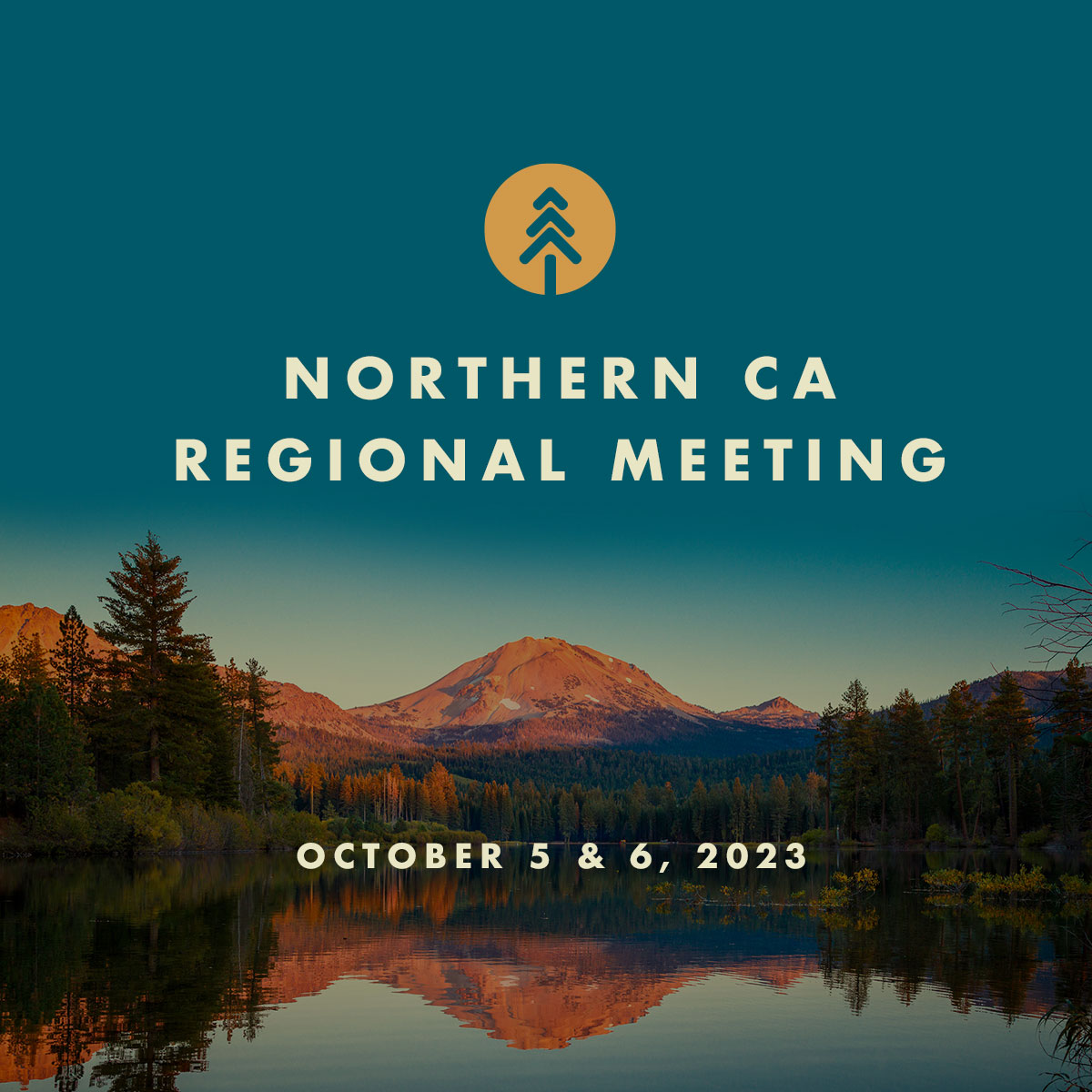
Recap of The Northern California Regional Meeting
NORTHERN CALIFORNIA REGIONAL MEETING RECAP
October 5, 2023
Over 300 people came together in Redding (with over 200 joining online) for the Governor’s Wildfire & Forest Resilience Task Force’s Northern California regional meeting. Highlights for the meeting included the release of the Northern California’s Regional Resource Kit and Regional profile, completing the set for all four regions. Additionally, panelists presented on Northern California’s unique physical and socio-economic landscapes, including how regional leaders are scaling up landscape restoration and community protection as well as adapting to meet forest sector workforce needs.
If you couldn’t make it in person, or missed the real-time webinar, video recordings are available below.
REGIONAL MEETING AGENDA HIGHLIGHTS
- Director’s Report: Director Wright provided an overview of projects and investments achieved by Task Force partners in the region and shared how new Task Force products such as the Interagency Treatment Dashboard and Regional Resource Kits can be utilized to assess landscape health and fire risk, plan and prioritize projects, and track progress toward wildfire resilience in every region of the state.
- Northern California Landscapes: A panel of experts discussed Northern California’s unique physical and socio-economic landscapes and the role Indigenous stewardship, water security, and community resilience and recovery play in the region. The Task Force Interagency Science Team then introduced the new data tools for practitioners available in the Task Force’s Regional Resource Kits.
- Scaling Up Landscape Restoration and Community Protection: Northern California regional leaders discussed how they are aligning funding and adapting their programs to restore landscapes and protect communities at a meaningful scale. This included a case study of Trinity County, California’s highest fire risk county.
- Forest Sector Workforce Needs & Opportunities: A panel of forest sector workforce and training representatives discussed current forestry-related workforce impediments to increasing the pace and scale of landscape restoration.
Welcome
• Dr. Joe Wise, Shasta-Tehama-Trinity Joint Community College District
• Chairman Jack Potter Jr., Redding Rancheria
Opening Remarks
• Wade Crowfoot, CNRA
• Jennifer Eberlien, USFS
• Brian Ferebee, Executive Lead, Wildfire Crisis Strategy, USFS
• Task Force Executive Committee
Director’s Report
Director’s Report
• Patrick Wright
Northern California's Landscapes
Northern California's Landscapes
• Moderator: Steven Ostoja, USDA California Climate Hub
• Ramona Butz, USFS Northern Province Ecology
• Frank Lake, USFS-Pacific SW Research Station
• Safeeq Khan, UC Merced
• Yana Valochovic, UCANR
Regional Resource Kits: John Battles, UC Berkeley
Scaling Up Landscape Restoration & Community Protection
Scaling Up Landscape Restoration & Community Protection
• Moderator: Nick Goulette, The Watershed Center
• Kelly Sheen, Trinity County RCD
• Rachel Birkey, Shasta-Trinity National Forest
• Leaf Hillman, North Coast Resource Partnership
• Gabe Shultz, CAL FIRE Northern Region
Forest Sector Workforce Needs & Opportunities
Forest Sector Workforce Needs & Opportunities
• Moderator: Becky Roe, Shasta College
• Todd Jones, Shasta Economic Development Corporation
• Lindsay Dailey, Tribal EcoRestoration Alliance
• Justin Britton, CAL FIRE
• Mark Luster, Sierra Pacific Industries
• Tim Aldinger, Foundation for CA Community Colleges
Closing Remarks
• Task Force Co-Chairs
Northern California Regional Meeting Event
Welcome To TheNorthern California
Regional Meeting
agenda
8:30 AM – Resource Fair & Check-In
10:00 AM – Welcome
10:10 AM – Opening Remarks
10:40 AM – Director’s Report
10:55 AM – Northern California’s Landscapes
12:30 PM – Lunch
1:30 PM – Scaling Up Landscape Restoration and Community Protection
3:00 PM – Forest Sector Workforce Needs & Opportunities
4:15 PM – Closing Remarks
5:00 – 7 PM – Complimentary Reception

Thank You to our Sponsors


Northern California Regional Meeting
Northern California Regional Meeting
Join us in Redding or remotely via Zoom. Hosted by Shasta College, North Coast Resource Partnership, and Napa and Tehama RCDs, discussions will focus on landscapes and land management issues unique to Northern California. The meeting will open with a Resource Fair showcasing local organizations at work in the region. Field tours will be offered on October 6. We look forward to connecting, committing to action, and collaborating on real solutions to the daunting challenges facing our landscapes and communities.
OCTOBER 5 & 6
Shasta College
11555 Old Oregon Trail
Redding, CA
Tentative Event Schedule
8:30-10:00 a.m. Resource Fair
10 a.m.-12:15 p.m. Morning Session
12:15-1:30 p.m. Lunch
1:30-4:30 p.m. Afternoon Session
5:00-7:00 p.m. Reception
Free parking available in the South Parking Lot, adjacent to theatre.
EV charging stations located in East Parking Lot.
field tours
FIELD TOURS WILL BE OFFERED ON OCT 6
Tour of Ross Ranch
Regenerative Agriculture and WUI Projects to Maintain the Land & Protect the Community
Destination: Join The McConnell Foundation for a tour of this beautiful 860 acre working ranch, just on the outskirts of Redding. The ranch is permanently protected under a conservation easement and is utilized as a “learning laboratory” that plays host to a variety of regenerative agriculture and fire resilience demonstration projects. This tour will focus on several of the soil health, fuel reduction, and grazing management projects that have been taking place across the ranch. In particular, we will hear from CAL FIRE about the 120 acre prescribed burn they implemented on the property in July 2023.
Start/End Time: 9am – 1pm
Tour Host: The McConnell Foundation
Accessibility: Easy accessibility. 1.25 mile walk.
Notes: Lunch Included.
Location: Ross Ranch (3 minute drive from campus)
Trinity Wildfire Crisis Strategy Landscape
Shared Stewardship and Collaboration in Action to Reduce Wildfire Risks to Local Communities
Destination: Please join us on a field trip to Trinity County, the highest risk county for wildfire in California, to learn how we are working with local partners and stakeholders to reduce the risk of wildfire on a landscape level! We will discuss current and future efforts to reduce wildfire risk to communities and natural resources on the Trinity Landscape, under the Forest Service’s Wildfire Crisis Strategy. Working closely together with partners, stakeholders, and local communities is crucial to reducing wildfire risk across land ownerships, and will promote strengthened relationships, increased effectiveness, and greater planning and implementation capacities. To learn more about the Trinity Landscape, please visit the following website: LINK >
Start/End Time: 9am – 2:30pm
Tour Host: Shasta-Trinity National Forest & The Watershed Research Training Center
Accessibility: Trucks and any size SUV. Parking is limited, please carpool.
Notes: Bring lunch.
Location: Weaverville Ranger Station
I-5 Corridor Fuels Reduction Efforts
Partnering for Resilience – Proactive Strategies in Managing Public Lands to Reduce Wildfire Risks and Promote Healthy Forests
********CANCELED********
Destination: Please join us on a field trip along the crucial transportation corridor of Interstate 5 to the north of Redding. We will observe footprints and impacts from multiple recent fires, higher risk areas for wildfire, and our strategic plans for future work along the corridor and on the landscape. We will cross over Shasta Lake, which is the largest reservoir in all of California. The field tour will provide opportunities for discussions and questions with Forest Service Fire Ecologists, Fuels and Silviculture Specialists, and other resource specialists. We will observe recent prescribed fire and thinning around Shasta Lake. To learn more about one of the project areas we will be observing, please visit the following project page: VISIT >
Start/End Time: 9am – 12pm
Tour Host: Shasta-Trinity National Forest
Location: Shasta Lake Ranger Station (30 minutes from Shasta College)
Accessibility: Any size vehicle. Parking is limited, please carpool.
LOCATION: Shasta Lake Ranger Station
Mount Shasta – McBride Plantations Project
Thinning for Healthy Forests and a Sustainable Future
********CANCELED********
Please join us on a field trip to the McBride Plantations Project in the Shasta-Trinity National Forest adjacent to Mt. Shasta City! Participants will be able to observe and experience the area before, during, and after project thinning activities have occurred. This wildfire risk reduction work is being accomplished within a 3000-acre plantation area, and within the wildland urban interface (WUI). Expect majestic views of Mount Shasta, depending on weather conditions. To learn more about the McBride Plantations project, please visit the following links:
TOUR HOST: Shasta-Trinity National Forest
TIME: 9 AM – 2:30 PM
Location: U.S. Forest Service Mt. Shasta Ranger Station (1 hour from Shasta College)
Accessibility: We will view the sites from roads and landings. Parking is limited, please carpool.
NOTES:
Wear hiking clothes. Bring lunch, water, sunscreen, and a sun hat.
LOCATION: 204 W Alma St, Mt Shasta, CA 96067
Shasta College Workforce Development and Training: Partnership in Action
Partnering for Resilience – Proactive Strategies in Managing Public Lands to Reduce Wildfire Risks and Promote Healthy Forests
Destination: This tour will begin on campus visiting the College’s CDL Class A/B License Training, Agriculture, Horticulture, Forestry/Natural Resources, and Heavy Equipment Training Grounds. We will then venture offsite to the Logging Operations Training Grounds, located on program partner Sierra Pacific Industries (SPI) land, before returning to campus for lunch and presentations from the College’s STEP UP restorative justice program and its Fire Academy. Co-leading the tour will be Ted James, SPI District Forester, to provide an active employer partner’s perspective on the critical nature of strategic, intentional collaboration between training providers and their industry partners.
Start/End Time: 8am – 2pm
Tour Host: Shasta College & Sierra Pacific Industries
Location: Meet in East Parking Lot, Shasta College Campus
Accessibility: Free parking on campus in the East Lot is available. College transportation will be provided from there. Program areas on campus are easily accessible. Individuals may encounter uneven ground on the Logging Operations site visit. Restrooms are available on campus with a portable restroom available at the Logging Operations Training Grounds.
Notes: Please wear closed-toe shoes and long pants. Bring layers for our visit to the Logging Operations Training Grounds. Please bring water for the morning segment of our tour. Lunch will be provided when we return to campus.
LaTour Demonstration State Forest
Onsite with California’s first Demonstration State Forest – since 1946
Destination: LaTour became California’s first Demonstration State Forest in 1946 and continues to demonstrate forest health and fire prevention projects utilizing existing permits, a skilled workforce, and commercial markets available to private landowners. In partnership with the Shasta College Resource Management and Heavy Equipment Logging Operations (HELO) programs LaTour is committed to developing the next generation of forest professionals, advancing their motto of “Trees and Foresters Growing Together.” Projects that can be viewed on the tour will include the University of Nevada Reno AMEX study (PI Dr. Bisbing), researching long term climate driven adaptive silviculture. Another stop will be the 1980 Whitmore Plantation, resulting from a 1978 fire. This site includes a study supported by FRAP, to investigate plantation restoration on legacy post-fire regenerated stand. The study will showcase the benefits of silvicultural reinvestment to restore site productivity, wildlife habitat, carbon sequestration, aesthetics, and biodiversity.
Start/End Time: 9am – 1pm
Tour Host: CAL FIRE, Shasta College Heavy Equipment Logging Operations, University of Nevada Reno
Accessibility: carpooling in high clearance vehicles is required. One ADA restroom available upon entry and exit from the forest. Short walks on uneven ground at each tour stop.
Location: Whitmore CAL FIRE station 35, 11787 Ponderosa Way, Whitmore, CA 96096 (one hour from campus)
Wood Products Innovations
Market-Driven Solutions in Action
Destination: Tour Sierra Pacific Industries’ small log mill and learn how the latest innovative technology is being applied to maximize lumber production and minimize wood waste in alignment with sustainable forest management practices. Visit Shasta-Sustainable Resource Management where non-merchantable waste wood from Shasta-Trinity and Lassen National Forests, as well as from private lands, are selectively removed and processed in its facility to enhance remaining standing timber while generating electricity for sale to the local utility. Shasta plays a key role in the State’s effort to safely manage forest residue in high hazard areas to reduce the risk of forest fires.
Start/End Time: 8am – 12pm
Tour Host: Sierra Pacific Industries and Sustainable Resource Management
Accessibility: This is a walking tour with a moderate number of stairs to climb.
Notes: Sturdy, closed-toe, flat-heeled shoes must be worn. No sandals, flip flops, or high heels will be allowed. Long pants are highly recommended. PPE will be provided as appropriate.
Location: Anderson, CA, (more information coming soon.)
Shasta County Fuel Reduction Collaborative
Using Prescribed Fire, Mechanical, and Hand Treatments for Fuelbreaks Across Multiple Agencies and Landowners
Destination: Following the Carr Fire and Camp Fire in 2018, the CAL FIRE Shasta-Trinity Unit and the Western Shasta RCD (WSRCD) began to strengthen their partnership to increase the pace and scale of wildfire resilience in Shasta County. As part of Governor Newsom’s 45-Day Report, three out of the ten highest priority projects were identified in Shasta County. In order to tackle all of these projects, CAL FIRE enlisted the WSRCD to implement the China Gulch Fuels Reduction Project that included initially treating over 500 acres of heavy fuels in the community of Happy Valley, west of Redding, CA. This tour will highlight that project and several others that CAL FIRE and the WSRCD have partnered on over the past several years including China Gulch Fuels Reduction Phase II (CAL FIRE Fire Prevention Grant)/CAL FIRE Shasta County Dump VMP/CAL FIRE Cal Vets Cemetery VTP).
Start/End Time: 9am – 1pm
Tour Host: CAL FIRE & Western Shasta RCD
Accessibility: There will be short walks at each stop. Terrain is relatively flat. Open toed shoes not recommended.
Notes: Bring lunch. (There is a cool spot on the way back at the Clear Creek Gorge (BLM Property) where there are picnic tables and you might get to see some spawning Salmon.)
Location: End of Bohn Boulevard (30 minutes from Shasta College)
Manzanita Lake – Mechanical Thinning/Prescribed Fire
Reducing Forest Density Through a Two-Step Approach
Destination: Human suppression of wildfire has resulted in overly dense conditions; loss of old-growth trees and wildlife habitat; and increased risk of severe wildfire in the Manzanita Lake and Lost Creek areas. These combined areas are known as the Northwest Gateway, which contains numerous facilities and other infrastructure along the park highway. The Northwest Gateway project uses a two-step process to reduce forest density through one-time use of mechanized equipment and then apply prescribed fire to restored forests 3 to 5 years after mechanical treatment.
Start/End Time: 9am – 2pm
Tour Host: Lassen Volcanic National Park, Superintendent Jim Richardson
Accessibility:
Location: Manzanita Lake (Meet up with group and park car at Loomis Museum parking lot.)
Mineral Forest: Hazard Tree Removal
Helping Communities with No-Cost Hazard Tree Removal
********CANCELED********
Destination: The RCD of Tehama County has partnered with the Mineral Firewise USA® Council to implement Phase I of the Mineral & Stringtown Hazard Tree Removal Project. This project will ultimately serve Mineral’s Cool-Air, Lassen Alpine Village, and Meadowview subdivisions in addition to Stringtown to treat dead, dying, and diseased trees, and trees that violate Public Resources Code 4291. The Mineral & Stringtown Hazard Tree Removal Project is a TinderSmart Tehama program available at no cost to residents.
Start/End Time: 9am – 12pm
Tour Host: Crane Mills & RCD of Tehama County
Accessibility: Limited parking, Carpooling encouraged.
Location: (one hour from Shasta College)
PODs in Action, Cross Boundary Spatial Fire Planning at Scale
Aligning Mutiple Policy Initiatives for Succesful Spatial Fire Planning
Destination: Successful spatial fire planning requires the orchestration of funding, planning, and governance functions. In 2021 the NCRP launched a cross boundary Potential Operational Delineation mapping project. Subsequently there have been major investments in landscape resilience through the USFS Wildfire Crisis Priority Landscapes, the Sierra Nevada Conservancies Wildfire Resilience program, the Community Wildfire Defense Grants, and Calfire’s Fire Prevention program.
This driving tour will give participants an understanding of how Potential Operational Delineations, Firesheds, and Community Wildfire Protection Planning processes intersect and complement one another. In addition this will profile the linkages between fuels planning and other natural resource and recreational values in a series of critically important watersheds.
On the 2 hour drive participants will see a variety of forest management strategies in different phases of planning and implementation and discuss the governance and capacity needs to move forest resilience projects forward at scale. The tour will stop at projects being developed by the Shasta Valley RCD, Watershed Research and Training Center, and the Shasta Trinity National Forest as well as profile major landscape conservation strategies.
Start/End Time: 10am – 2pm
Tour Host: The Watershed Research & Training Center
Accessibility: Short walks, limited parking. Carpooling encouraged.
Approximate Drive Time from Shasta College: 1 hour
NOTES: Meet at Siskiyou Box Canyon Dam at 10am – Discuss proposed USFS actions in the watershed, SVRCD private lands strategy in the Urban interface issues. Depart for the Parks Creek Trailhead at 11:30am – Discuss Klamath Meadows partnership strategy, Pacific Forest Trust, High Value Recreation sites and how these all fit into a comprehensive landscape plan. Final break up of the group at 2pm with a guide for choose your own adventure route home with an optional stop to look at extreme watershed impacts from the 2021 River Complex.
Location: Meet at Siskiyou Box Canyon Dam
Walking the Westside Trails
Post Wildfire Treatments to Achieve Multiple Objectives
Destination: This project is an example of post high severity wildfire WUI hazard fuels treatment in Northern California. Treatments in or adjacent to urban areas will often seek to achieve multiple objectives. This example looks to reduce hazard fuels post fire, maintain the existing recreation investments/ trails, manage vegetation for long term goals, and coordinate with landowners/ agency cooperators/ special intrest groups locally.
Start/End Time: 9am – 1pm
Tour Host: Bureau of Land Management, Redding Office
Accessibility: Parking is limited please carpool, no restooms, trail hiking with some moderate inclines.
NOTES: 5+ stops along the trail. Bring snacks, water, and wear outdoor apparel.
Location: Westside Trails Kilkee Trailhead (20 minutes from Shasta College)
City of Shasta Lake: WUI Field Tour
Overcoming Obstacles from Multiple Ownerships to Create Shaded Fuel Breaks
Destination: The City’s Fuels Reduction Manager will guide you through the area’s wildland urban interface and highlight fuel treatments including mastication and vegetation spraying to create shaded fuel breaks. We will discuss obstacles and successes of working with private property owners, the Bureau of Reclamation, and the U.S. Forest Service to gain right of entry to conduct fuel reduction projects and the impact they have on the community. The tour will begin at City Hall for a brief introduction. From there, City staff will transport participants to various project sites around the City. A portion of the tour will include hiking moderate terrain.
Start/End Time: 8am – 10:30am
Tour Host: City of Shasta Lake
Accessibility: Transportation from Shasta Lake City Hall to various project sites will be provided.
Approximate Drive Time from Shasta College: Shasta Lake City Hall (20 mins from Shasta College)
NOTES: Shoes suitable for hiking are required. Long pants are recommended. Bring water.
Location: Shasta Lake City Hall: 4477 Main Street, Shasta Lake, CA 96019
Shingletown Fuel Reduction – Highway 44 Project
Connecting Landscape and WUI Fuel Treatments to Existing Projects
********CANCELED********
Destination: Connecting landscape fuels reduction to Governors 45-day, Hwy 44 project. Tour completed hazardous fuels reduction treatments in the Whispering Woods neighborhood in Shingletown and ongoing landscape fuels reduction biomass operations on non-industrial and industrial timberland. View completed mastication and planned biomass fuels reduction treatments at the Woodridge Estates community and Wilson Hills road in Shingletown.
Start/End Time: 8am – 12pm
Tour Host: Lassen Fire Safe Council
Accessibility: Active landing operations, carpooling encouraged
Approximate Drive Time from Shasta College: 50 mins.
NOTES:
Sturdy, closed-toe, flat-heeled shoes must be worn. No sandals, flip flops, or high heels will be allowed. Long pants are highly recommended. Hard hats and hearing protection will not be provided.
Location: CALFIRE Station:32249 CA-44, Shingletown, CA 96088
Big Chico Creek Ecological Reserve
Ecological Restoration and Prescribed Fire
Destination: Mixed oak woodland habitat in the foothills of the Cascade Range. Ecological restoration, fuels reduction/wildfire mitigation. The Big Chico Creek Ecological Reserve contains 7,835 acres of diverse canyon and ridge habitats, including 4.5 miles of Big Chico Creek, and is home to many species of plants and animals. The mission of the Big Chico Creek Ecological Reserve is to preserve and steward critical habitat and to provide a natural area for environmental research and education.
Start/End Time: 10am – 2pm
Tour Host: Big Chico Creek Ecological Reserve
Accessibility: Flat area around HQ/parking lot (meadow). Dirt roads, foothills. Outdoor setting. Wear hiking clothes/shoes. No potable water on site, so please bring plenty of water. Sun exposure (hat, sunscreen).
NOTES:
Location: Big Chico Creek Ecological Preserve (1.5 hours from Shasta College)
Recommended Accommodations


Thank You to our Sponsors
Recap of Sacramento 8/29 Task Force Meeting
SACRAMENTO TASK FORCE MEETING RECAP
August 29, 2023
The Task Force held its quarterly meeting at the California Natural Resources Agency in Sacramento and live on Zoom. Recordings of the sessions are available on the Task Force website. Some of the highlights include:
- Interagency Treatment Dashboard: The Task Force formally announced the beta release of the Interagency Treatment Dashboard. CAL FIRE’s Alan Talhelm demonstrated how the highly interactive online tool will allow users to sort treatments by region, county, land ownership, and more.
- Agency Spotlight – Bureau of Land Management: Karen Mouritsen from the BLM provided updates on a new Statewide Wildland-Urban Interface Fuels Treatments Programmatic EA which accelerates fuels treatments on 930,000 acres of public lands as well as a new Good Neighbor Authority Agreement with CAL FIRE which makes it easier to work across land jurisdictions.
- Regional Frameworks Panel: Forest Schafer from the Task Force moderated a panel of regional leaders discussing how they are organizing regionally to support both capacity building and large-scale implementation.
- Regional Investment Highlights: A panel of regional funders offered overviews of how they are aligning investments on the ground.
Welcome & Executive Remarks
Acting Co-chairs
- Joe Tyler, Director, CAL FIRE
- Sherry Hazelhurst, Director of State & Private Forestry, USFS Region 5
Task Force Executive Committee
- Katy Landau, CalEPA
- Richard Barhydt, Pacific Southwest Research Station
- Don Hankins, Indigenous Stewardship Network
- Sam Assefa, OPR
- Doug Teeter, RCRC
Director’s Report
Director’s Report
Patrick Wright, Director, Wildfire and Forest Resilience Task Force
Interagency Treatment Dashboard
Interagency Treatment Dashboard
Alan Talhelm, Assistant Deputy Director, Climate & Energy, CAL FIRE
Agency Spotlight: Bureau of Land Management
Agency Spotlight: Bureau of Land Management
Karen Mouritsen, California State Director, Bureau of Land Management
Regional Frameworks Panel
Moderator: Forest Schafer, Task Force
• Angela Avery, Sierra Nevada Conservancy
• Karen Gaffney, North Coast Resource Partnership
• Mary Small, State Coastal Conservancy
• Michael O’Connell, Irvine Ranch Conservancy
Regional Investment Highlights
- Jonathan Birdsong, National Fish & Wildlife Foundation
- Kate Dargan & Marion Whitman, Moore Foundation
- Jacy Hyde, CA Fire Safe Council
Closing Remarks
Task Force Executive Committee
Northern California Regional Meeting Event
Welcome ToThe Northern California
Regional Meeting
Event schedule
8:30 – 10:00 a.m. Resource Fair
10 a.m. – 12:15 p.m. Morning Session
12:15 – 1:30 p.m. Lunch
1:30 – 3:15 p.m. Afternoon Session
3:30 – 4:30 p.m. Small Group Discussion
4:30 – 6:00 p.m. Reception
agenda
8:30 AM Resource Fair & Check-In
10:00 AM 1. Welcome
10:30 AM 2. Opening Remarks
10:50 AM 3. Director’s Report
• Central Coast Accomplishments & Updates
11:05 AM 4. The Central Coast MosaicRegional Resource Kits
12:30 PM Lunch – Resource Fair Open
1:30 P.M 5. From Local Collaboration to Regional Action
• Organizing for Impact and Adapting to Changing Conditions
• Navigating Complex Regulatory Requirements
2:50 PM Group Activity
3:05 PM 6. Moving Towards a Regional Investment Strategy
3:50 PM 7. Keynote Presentation
• Senator John Laird, CA 17th District
4:15 PM Closing Remarks
4:30 PM Complimentary Reception

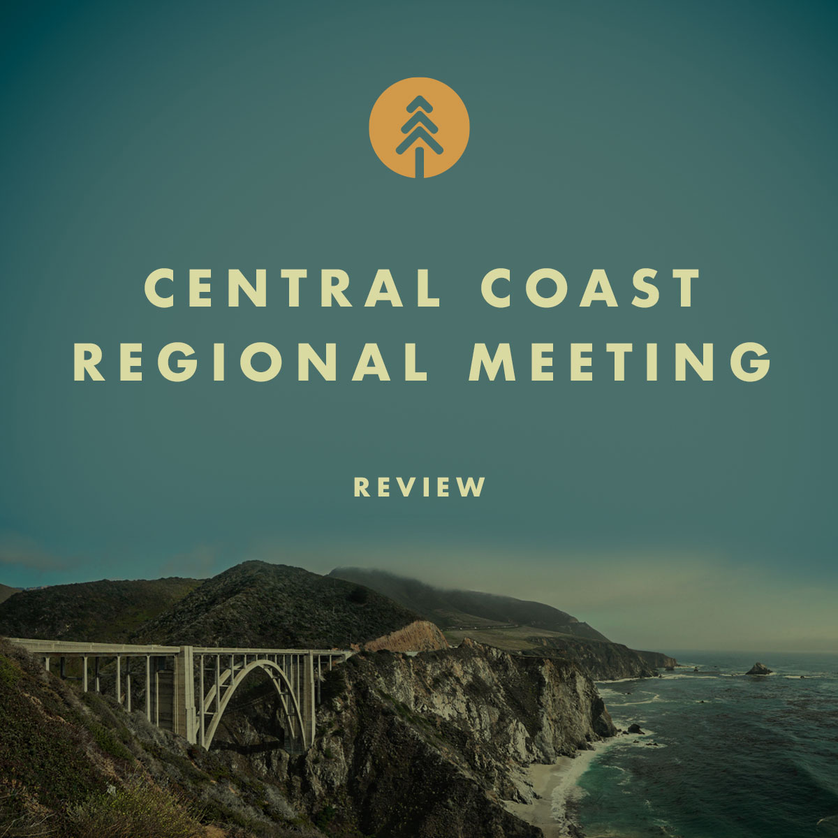
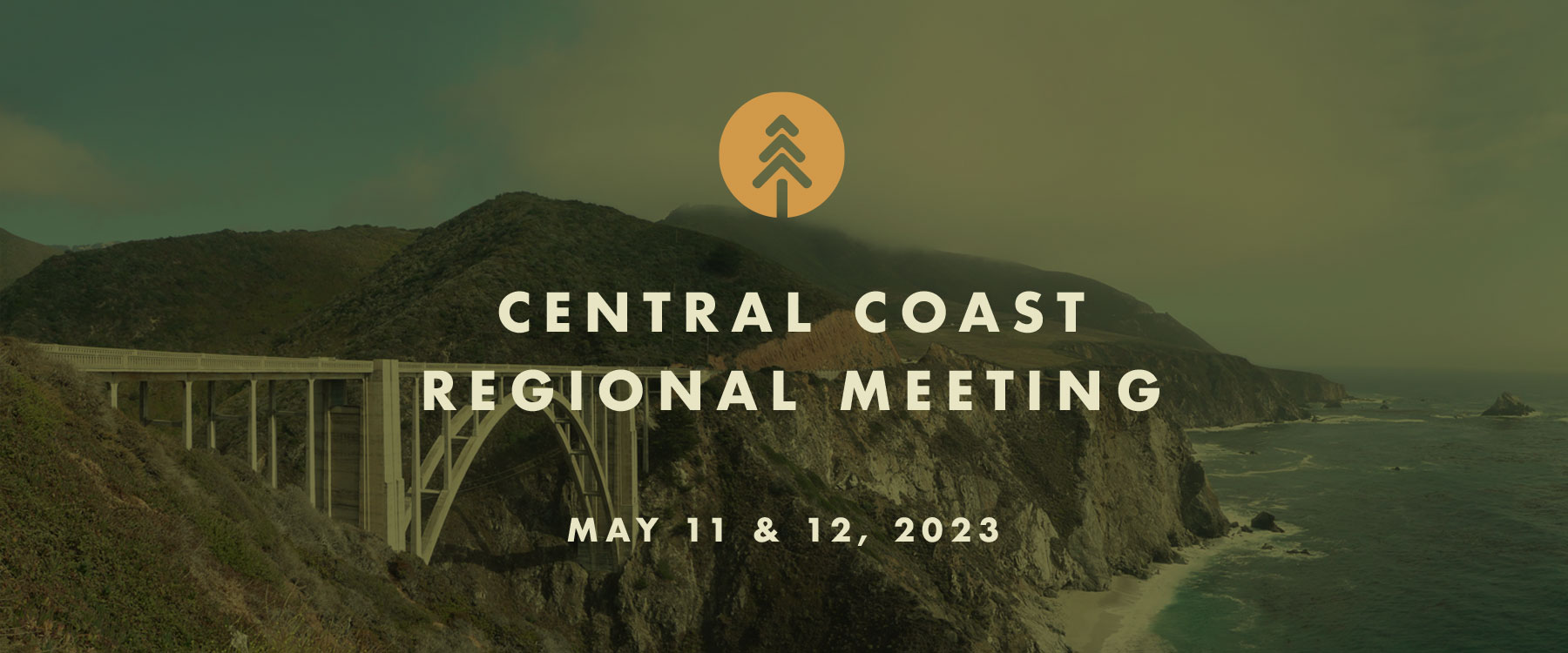
Recap of The Central Coast Regional Meeting
CENTRAL COAST REGIONAL MEETING RECAP
May 11, 2023
Over 300 people came together in Santa Cruz (with over 200 joining online) for the regional meeting of the California Wildfire & Forest Resilience Task Force focused on the Central Coast region and ongoing efforts to create more resilient communities and landscapes in the face of wildfires and climate change. The meeting brought together a wide range of experts and agency partners for updates and in-depth panel discussions on the State’s progress on wildfire and forest resilience. Hosted by the California State Coastal Conservancy and San Mateo Resource Conservation District, discussions focused on the unique landscapes and land management issues of California’s Central Coast, with updates and panel discussions about real progress being made on the ground, and opportunities to network with partners from around the state.
If you couldn’t make it in person, or missed the real-time webinar, video recordings are available below.
REGIONAL MEETING AGENDA HIGHLIGHTS
- Director’s Report: Director Wright provided an update on the status of the 99 key actions outlined in the Wildfire and Forest Resilience Action Plan, outlined the Task Force’s mulita-pronged “Roadmap to Resilience,” and highlighted Task Force partners’ achievements on the Central Coast.
- The Central Coast Mosaic: A panel of experts discussed the Central Coast’s unique ecosystems, safeguarding communities in the WUI, and indigenous land use practices of tribal communities in the region. The Task Force Interagency Science Team then introduced the new data tools for practitioners available in the Task Force’s Regional Resource Kits.
- From Local Collaboration to Regional Action: Two panels of regional leaders discussed 1) the value of collaborative efforts for delivering on Central Coast resource priorities and, 2) how project implementors are navigating complex regulatory requirements.
- Moving Towards A Regional Investment Strategy: A panel of Task Force partners discussed the challenges and opportunities for state-wide funding programs to align programmatically to support locally identified regional priorities.
- Keynote address by Senator John Laird: Senator Laird (CA-17) is a champion of natural resources and authored SB 456 which codified the CA Wildfire and Forest Resilience Task Force. Among his accomplishments, Laird served as Secretary of the California Natural Resources Agency under Governor Jerry Brown (2011-2019) and two-term mayor of Santa Cruz. In his keynote, Senator Laird reflected on the Central Coast as “ground-zero” in recent times for the effects of climate change.
Welcome
• Amy Hutzel, CA Coastal Conservancy
Opening Remarks
• Wade Crowfoot, CNRA
• Jennifer Eberlien, USFS
• Valentin Lopez, Amah Mutsun Tribal Band
• Task Force Executive Committee
Director’s Report
Director’s Report
• Patrick Wright
The Central Coast Mosaic
The Central Coast Mosaic
• Moderator: Steven Ostoja, USDA California Climate Hub
• Virginio Matzek, Santa Clara University
• Chris Dicus, Cal Poly SLO
• Peter Nelson, UC Berkeley
• Peter Stine, Climate & Wildfire Institute
From Local Collaboration to Regional Action
From Local Collaboration to Regional Action
• Moderator: Kellyx Nelson, San Mateo RCD
• Anne Crealock, Marin Wildfire Prev. Authority
• Dylan Skybrook, Santa Cruz Stewardship Network
• Devii Rao, UC ANR
• Steve Auten, Auten Resource Consulting
• Madeline Cavalieri, CA Coastal Commission
• Len Nielson, CAL FIRE
• Paul Hann, State Water Board
Moving Towards a Regional Investment Strategy
Moving Towards a Regional Investment Strategy
• Moderator: Lisa Lurie, Santa Cruz RCD
• Valentin Lopez, Amah Mutsun Land Trust
• Brian Newman-Lindsay, DOC
• Robin Bellows, CAL FIRE
• Chris Zimny, NRCS
• Sherry Hazelhurst, USFS
Keynote Presentation
• Senator John Laird, CA 19th District
Closing Remarks
• Task Force Co-Chairs
Central Coast Regional Meeting
Central Coast Regional Meeting
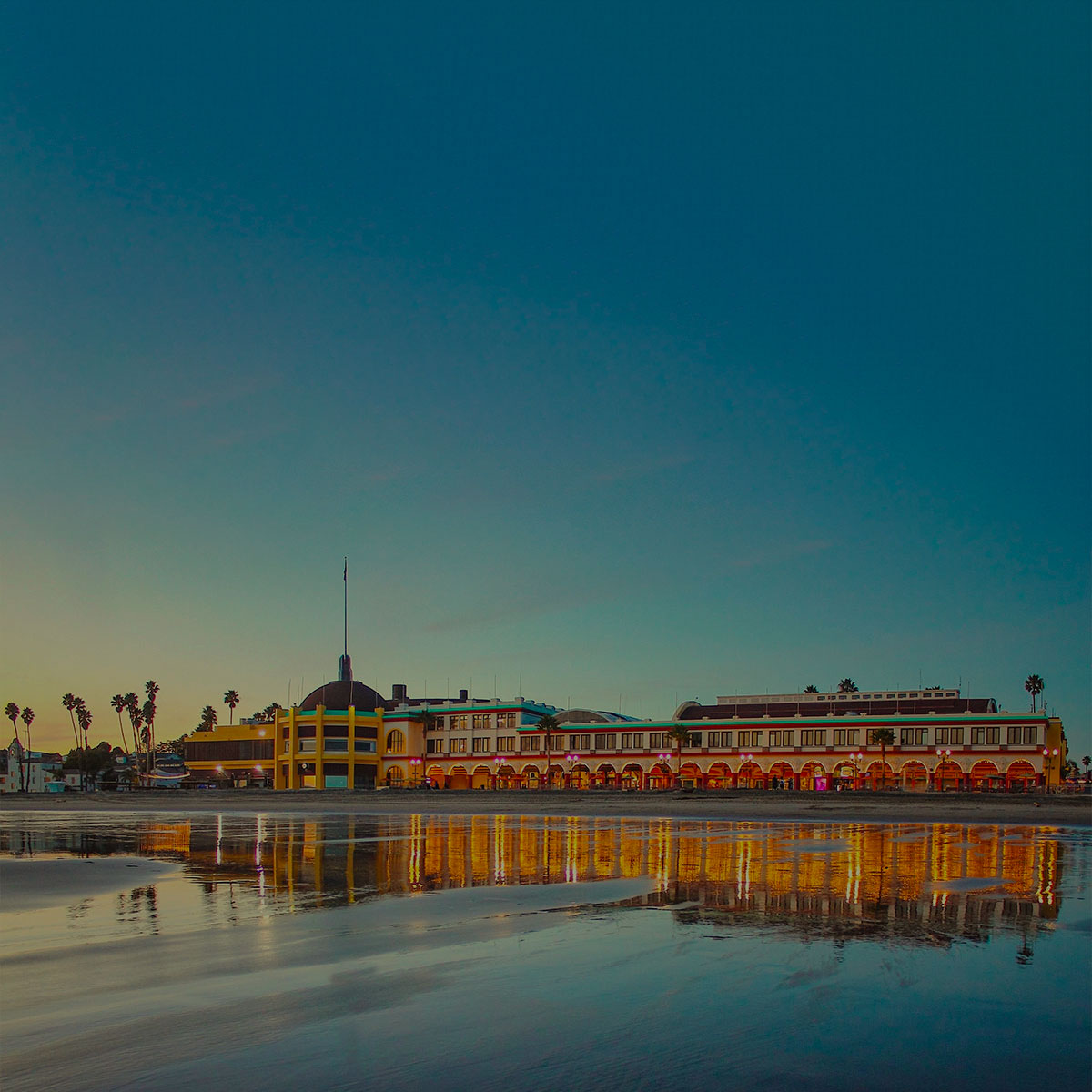
Join us in person at The Cocoanut Grove on the Santa Cruz Beach Boardwalk or remotely via Zoom. Hosted by the California State Coastal Conservancy and San Mateo Resource Conservation District, discussions will focus on the unique landscapes and land management issues of California’s Central Coast. The meeting will open with a Resource Fair to showcase local organizations at work in the Central Coast region. Field tours will be offered on May 12. We look forward to connecting, committing to action, and collaborating on real solutions to the daunting challenges facing our landscapes and communities.
MAY 11 & 12
The Cocoanut Grove
Santa Cruz Beach Boardwalk
400 Beach Street
Santa Cruz, CA
Event schedule - May 11
8:30-10:00 a.m. Resource Fair
10 a.m.-12:15 p.m. Morning Session
12:15-1:30 p.m. Lunch
1:30-4:30 p.m. Afternoon Session
4:30-6:00 p.m. Reception
Free parking available in the main parking lot. Keep your ticket for validation.
field tours
FIELD TOURS WILL BE OFFERED ON MAY 12th
San Vicente Redwoods: Demonstrating Compatibility of Forest Resiliency and Public Access
Destination: San Vicente Redwoods, a privately held property demonstrating the compatibility of forest resiliency, conservation, sustainable timber harvest, and public access. This unique property is managed by a collective of four land trusts: Peninsula Open Space Trust, Sempervirens Fund, Save the Redwoods League, and the Land Trust of Santa Cruz County. All of this nearly 9,000-acre site burned in the 2020 CZU Lightning Complex Fire. On this field trip, we’ll see the efficacy of a prescribed burn conducted just months before the 2020 wildfire and we’ll visit a temporary biomass processing site and discuss the opportunities and challenges of processing forest residue onsite. Pending weather and site conditions, we hope to demonstrate the use of air curtain burners, a carbonator, and a pile burn side by side. After the 9 am – 11 am tour, stay for a networking lunch hour (cold drinks and light snacks provided) with attendees of the Together Bay Area Conference Field trip participants are encouraged to also attend the subsequent 12-2 p.m. field trip with Together Bay Area.
Start/End Time: 9am – 11pm (with option to 2pm)
Location: VIEW MAP >
Accessibility: Small section that meets outdoor accessibility guidelines, majority of tour along moderate difficulty trails.
Fall Creek Truck Trail Forest Health Project: Ladder Fuels Reduction Promotes Biodiversity and Resilience
Destination: Fall Creek Unit of Henry Cowell State Park, the focus of a 62-acre CAL FIRE Forest Health project. This primarily second-growth redwood and mixed conifer forest was nearly all burned at low to moderate severity during the 2020 CZU Fire and was used heavily by fire personnel during the event. The Forest Health project includes removal of dense ladder fuels and dead trees with the goal of lowering stand density and promoting greater biodiversity and resilience. This project showcases a great partnership between the RCD of Santa Cruz County, California State Parks and CAL FIRE.
Start/End Time: 2pm – 4:30pm
Location: VIEW MAP > Meet at Trininty Bible parking lot at the bottom of El Solyo Heights Road in Felton (7301 Hwy 9, Felton, CA 95018)
Accessibility: No ADA access or restrooms. Personal protective equipment may be required.
Quarry Park Fuel Reduction/Community Protection: Community Engagement and Protection in the WUI
Destination: Quarry Park, just north of Half Moon Bay, is a focal point of significant community interest regarding management of fuel loads, particularly eucalyptus, in the Wildland Urban Interface. Learn how San Mateo Resource Conservation District and partners, including county parks and local fire agencies, brought fire science and deep listening to community engagement. We will tour a shaded fuel break project on site while discussing how projects are informed by fire modeling and permit strategies, and how biomass management and winter storm response affect their implementation.
Start/End Time: 10am – 12pm
Location: VIEW MAP >
Accessibility: Walking tour. Personal protective equipment may be required. Limited parking, please carpool.
Forest Health Work in the Butano Watershed: Envisioning Forest Health as a Process, Not a Project, in the Pescadero-Butano Watershed
Destination: The State’s first completed California Vegetation Treatment Program (CalVTP) project, also the first project approved by the California Coastal Commission to use a Public Works Plan as a novel approach to permitting in the Coastal Zone. We will visit two sites in southern San Mateo County impacted by the August 2020 CZU Lightning Complex Fires: Butano State Park and Girl Scouts of Northern California’s Camp Butano. Over 2,100 acres will be treated to improve the health and resilience of the forest. Discussion will include recovery from fire, prescribed burns and fuels treatments, and permitting for long-term management.
Start/End Time: 10am – 2pm
Location: VIEW MAP >
Accessibility: Two vehicle stops with short walking tour from each.
Big Basin State Park Post-Fire Recovery: Reimagining Big Basin
Destination: The headquarters area of Big Basin State Park. The tour will highlight the recovery efforts that have been made to reopen the park following the CZU Lightning Complex incident. We will also be discussing the “Reimagining Big Basin” process that seeks to create a more equitable and resilient park. The tour will include a short walk-through old growth redwood forest that experienced high severity fire and give participants an opportunity to discuss State Park’s development of a forest management strategy for Big Basin and its neighboring parks.
Start/End Time: 9am – 12pm
Location: VIEW MAP >
Accessibility: Short walk through old growth redwood on accessible path.
Marin Wildfire Prevention Authority: Efforts of the Only Publicly Funded Wildfire Prevention Authority in the U.S.
Destination: Showcased projects of the Marin Wildfire Prevention Authority (MWPA), the only publicly funded wildfire prevention authority in the U.S. The tour will highlight local collaborative programs led by MWPA including vegetation management, a countywide chipper program, defensible space evaluations/creation, evacuation planning, and route clearing. We will discuss the MWPA’s use of and reliance and the CalVTP and MWPA’s support of the recently launched Fire Foundry Program, an innovative workforce development program aimed at achieving equity in the fire and civic service and providing pathways to sustainable wage careers. Participants will meet at the MWPA office in San Rafael, the MWPA will provide vans to shuttle participants to each tour site.
Start/End Time: 11am – 3pm
Location: VIEW MAP >
MWPA Office: 1600 Los Gamos Drive, Suite 345, San Rafael
Accessibility: Some walking on uneven unpaved paths/trails; parts are fully accessible. Driving tour to sites with short walks at each.
Webster Project – San Luis Obispo County: a CAL FIRE Governor’s Priority Project
Destination: “The Webster Project” – one of CAL FIRE’s 2019 Governor’s priority projects – covering 1,200 acres of chapparal habitat in rural north county San Luis Obispo. The goal of this project was to reduce hazard fuel loading and mimic natural fire using prescribed fire. The tour will highlight the treatment of crushing chamise brush followed with prescribed fire to consume 10-hour dead fuels. Treatments are aimed at creating a diversity of resilient vegetation types while creating a safety zone and anchor point for firefighting efforts in the event of a wildfire.
Start/End Time: 1pm – 3pm
Location: VIEW MAP >
Accessibility: Will Meet at CAL FIRE Creston Fire Station, load into van, drive to project site- 15 minutes. Mostly driving tour with small walk out to burn units (100 feet from vehicle), No ADA.
Santa Lucia Conservancy: Balancing the Protection of Life, Property, and Biodiversity with Long-term Ecosystem Resilience
Destination: The Santa Lucia Preserve. The Santa Lucia Conservancy’s vision for fire and fuels management on The Preserve is one that harmoniously balances the protection of life, property, and biodiversity with long-term ecosystem resilience. This strategy includes shaded fuel breaks, prescribed burns, conservation grazing, invasive plant removal, a Preserve-wide fuel management plan, and lot-specific fuel management plans for individual homeowners. Join the Santa Lucia Conservancy and collaborating partners for a driving tour of The Preserve to learn more about how we collaborate with fire agencies, land management organizations, landowners, and our neighbors to implement these fire safety tools.
Start/End Time: 9am – 12:30pm
Location: VIEW MAP >
Accessibility: This is a driving tour.
Swanton Pacific Ranch and Big Creek Lumber Sawmill: Witnessing and Learning From the Effects of the 2020 CZU Lightning Complex
Destination: Cal Poly’s Swanton Pacific Ranch. The tour will focus on post fire redwood and Douglas fir forest management and restoration funded by CAL FIRE Forest Health program and guided by the property’s long term Non-Industrial Timber Management Plan. In August 2020, the CZU Lightning Complex Fire impacted Cal Poly’s School Forest, which has long been a hub of student learning, research, and demonstration of sustainable timber management practices. The fire, along with CAL FIRE’s funding support, has presented us with some unique opportunities to demonstrate fuels reduction and restoration and ways to experiment with preparing the forest for the predicted consequences of climate change. We are also experimenting with various methods of biomass removal, replanting, and redwood canopy retention while training a workforce on methods to increase the pace and scale of fuels management and vegetation treatment. Break for lunch, and then reconvene down the road for a tour of the Big Creek Lumber Sawmill. We’ll see the mill in operation and discuss the effects of fire on merchantable timber, as well as the effects of the CZU fire on Big Creek property, and the recovery work they are doing post-fire.
Start/End Time: 10am – 2pm
Location: VIEW MAP >
Accessibility: Attendees will meet at a central location and carpool to tour location a short drive away.
Glenwood Open Space Preserve: demonstrating multiple benefits of a conservation grazing program
Destination: Glenwood Open Space Preserve. Join the Land Trust of Santa Cruz County for a tour of this beautiful preserve in Scotts Valley, just a few minutes off of Highway 17 on the way out of Santa Cruz. The Glenwood Open Space Preserve is home to a high number of rare and endangered species, including the Ohlone tiger beetle, Opler’s longhorn moth, and the Scotts Valley spineflower. This tour will show off the beautiful spring wildflowers in bloom and highlight how we manage fuels along the wildland-urban interface while preserving the endangered species through conservation grazing, among other methods.
Start/End Time: 1pm – 3pm
Location: VIEW MAP >