
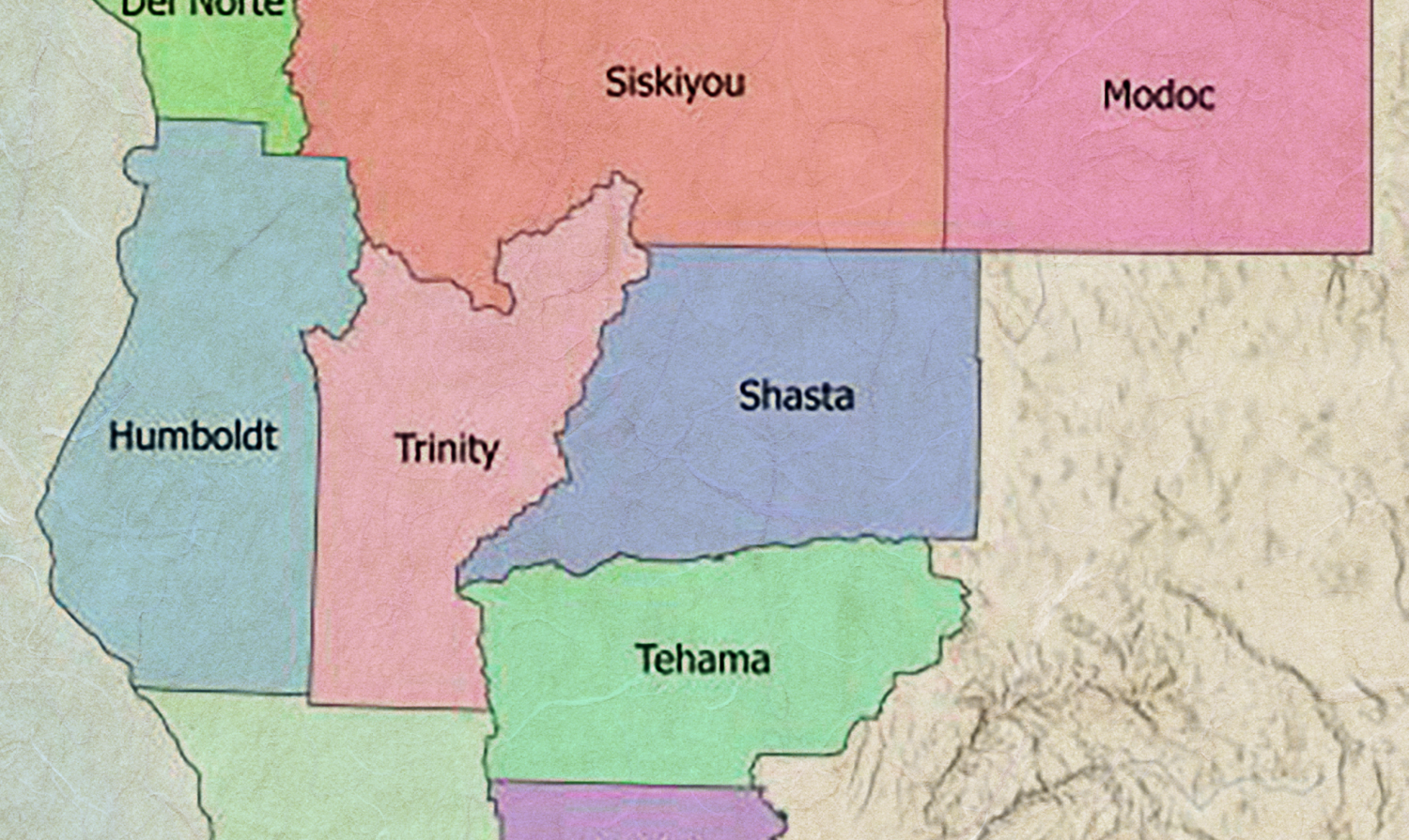
Task Force Advisory Panel Seeks Input on Northern California Regional Profile
Task Force Advisory Panel Seeks Input on Northern California Regional Profile
In advance of the October 5 Regional Meeting, the Science Advisory Panel is developing the Northern California Regional Profile, a publicly available resource that will summarize the socio-ecological context of the region’s resilience to wildfire. The Panel is requesting those who live, work, or own property in Northern California to participate in a survey to understand regional perspectives on improving ecosystem health and community resilience to wildfire. The survey is open until Tuesday, August 1, 2023.
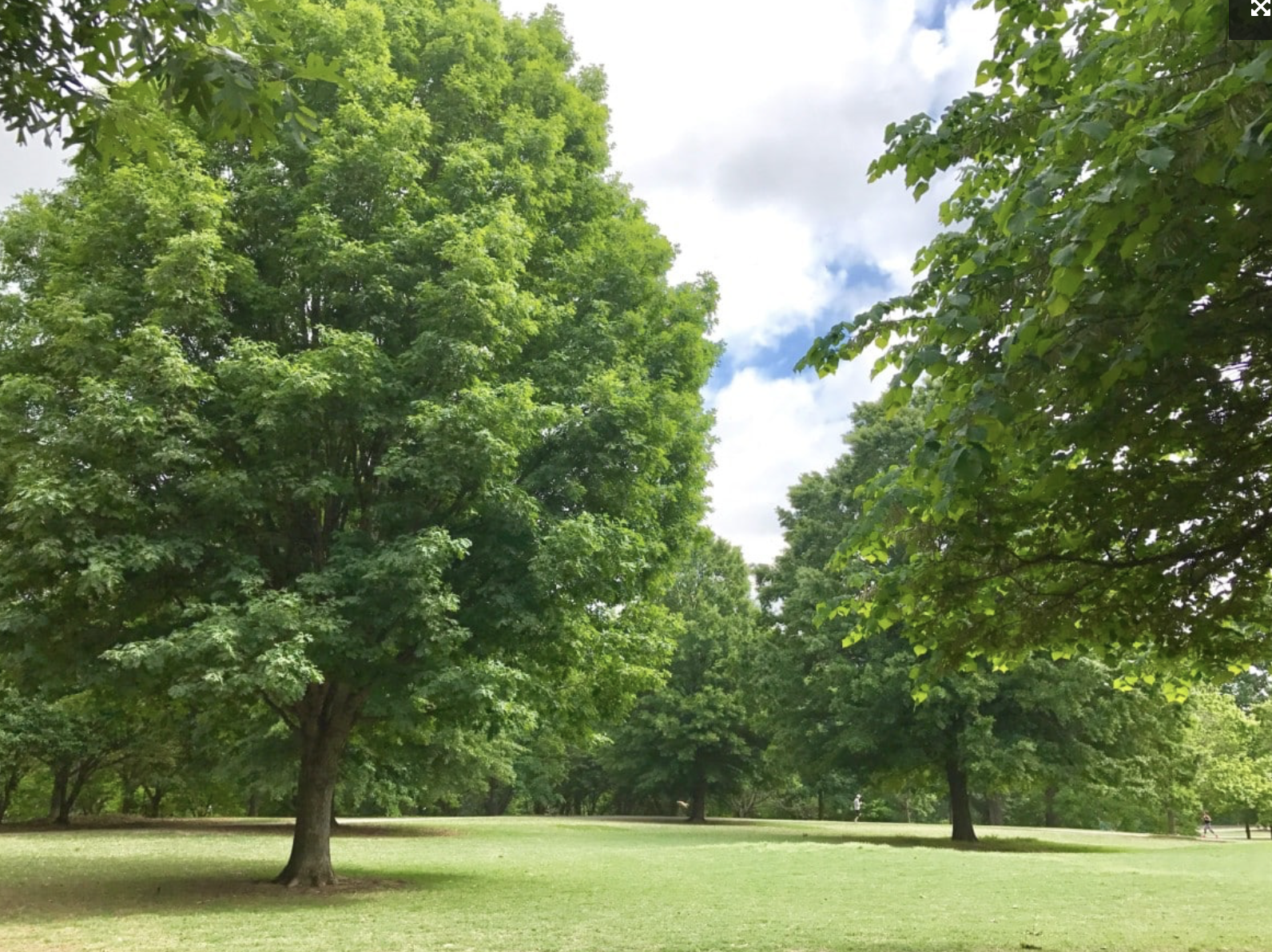
State and Federal Agencies Make Significant Investments in Urban Greening
State and Federal Agencies Make Significant Investments in Urban Greening
USFS Grants Will Increase Equitable Access to Urban Tree Canopy: The U.S. Forest Service is requesting proposals from entities that are working to provide equitable access to trees and green spaces and the benefits they provide. The funding, made possible by the Inflation Reduction Act, is part of a $1.5 billion investment in the USFS’ Urban and Community Forestry Program. Of the total funding, the USFS is allocating nearly $47 million directly to the Pacific Southwest Region — $43.2 million to California. The application period ends June 1.
CNRA Invests Over $47 Million in Urban Greening: On April 6, the California Natural Resources Agency (CNRA) awarded 23 grants totaling $47.5 million through the Urban Greening Grant Program. The selected projects will create more sustainable communities by using natural and green infrastructure approaches, such as replacing schoolyard asphalt with native trees, plants, pollinator gardens and nature-based outdoor play areas, restoring wetlands or riparian corridors, or constructing new commuter paths to reduce vehicles miles traveled.
CDPH Publishes Air Pollution Health Burden Mapping Dashboard
CDPH Publishes California Wildfire Smoke and Air Pollution Health Burden Mapping Dashboard
California Department of Public Health’s dashboard shows the health burden related to air pollution and wildfire smoke. By mapping excess respiratory or cardiovascular-related emergency room visits, the dashboard allows users to visualize the burden in any zip code, as well as how the burden is distributed among races and ages, and proximity to medical facilities, schools, historical wildfires and Air Quality readings. The dashboard is based on data in the publication, Wildfires and the Changing Landscape of Air Pollution-related Health Burden in California. The dashboard was supported in part by a grant from the CAL FIRE’s Forest Health Research Program, as part of California Climate Investments.
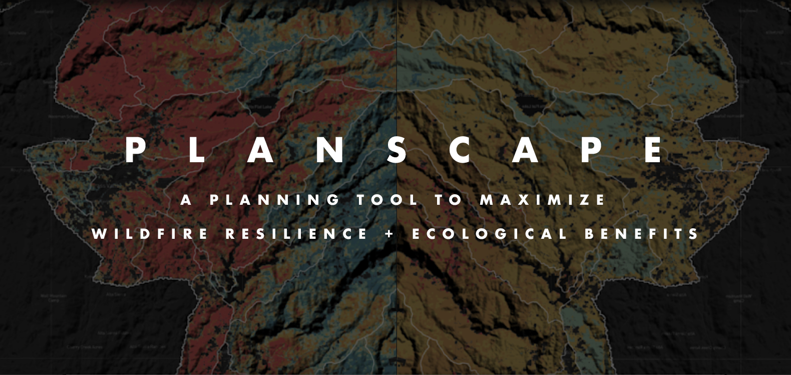
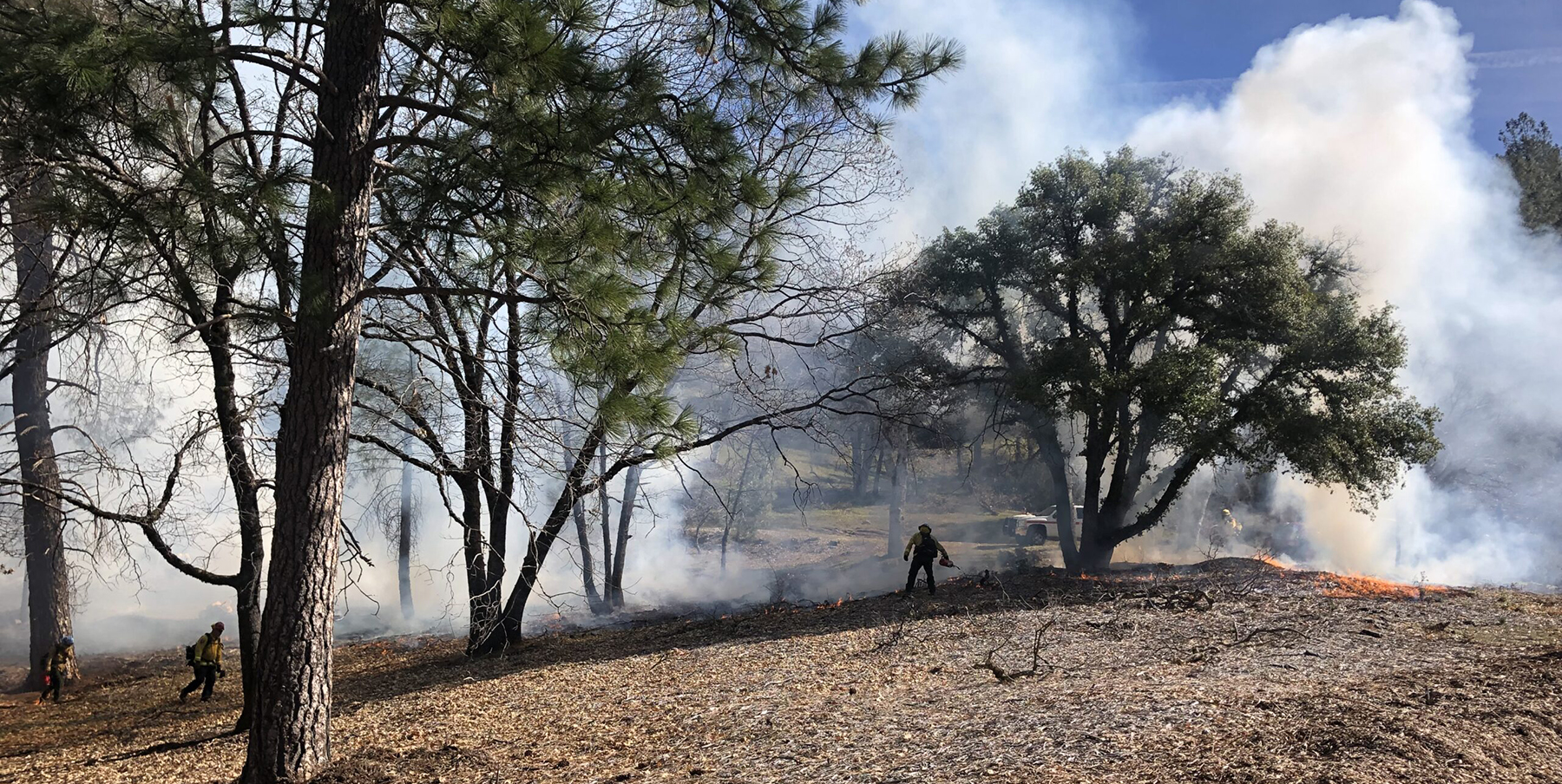
Planscape now lives on the Task Force website
Planscape Now Lives on the Task Force Website
A collaborative effort between CA Natural Resources Agency, USFS, UC Berkeley, Spatial Informatics Group and Google.org, Planscape is a decision support tool that empowers regional planners to prioritize resilience treatments across the landscape and inform the funding process. Planscape partners provided a demonstration of the tool at the March 30 Task Force meeting. This version of the tool is available for beta testing, with the region-specific scenarios released this summer through fall.
RESOURCES
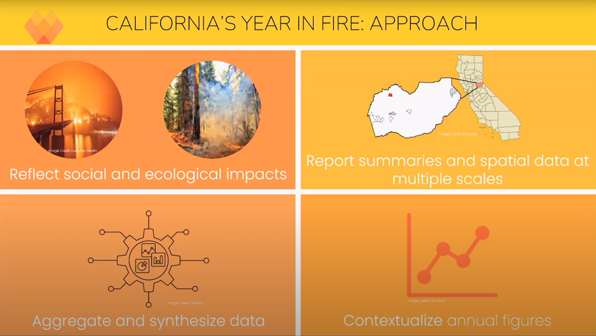
California's Year in Fire
California's Year in Fire
One of the highlights from the March 30 Task Force meeting was a preview of the Annual Wildfire Data Explorer which depicts California’s Year in Fire. A project of the Climate and Wildfire Institute, UC Berkeley’s Center for Law, Energy & the Environment and the Gordon and Betty Moore Foundation, California’s Year in Fire is a framework that works to more comprehensively account for annual wildfire impacts on social and ecological systems. This project will help decision makers better understand how wildfire impacts are trending and identify areas where we need additional investment. Next step in this project is to finalize the documentation for public review, with the results eventually housed on a public-facing website, updated annually. Sign up for updates.
NRCS California Plans Expanded Conservation Investments
NRCS California Plans Expanded Conservation Investments
NRCS California announced a 2023 investment of over $20 million for climate-smart agriculture practices and forest resiliency in California, including $6.8 million for the Environmental Quality Incentives Program; $5.2 million for the Conservation Stewardship Program; and $7.6 million for the Conservation Technical Assistance Program. These additional investments flow from the Inflation Reduction Act – from which hundreds of millions of dollars more will appropriated over the next five years. This investment is above NRCS California’s annual $125 million investment through the Environmental Quality Incentives Program, Conservation Stewardship Program, Wetland Reserve Easements program, and other NRCS programs.
The deadline to apply for this NRCS California IRA funding is March 17, 2023. Please visit your local NRCS service center to apply, which can be found by clicking here.
Forest Stewardship and Post-fire Forest Resilience Projects 2022 Annual Report
Forest Stewardship and Post-fire Forest Resilience Projects 2022 Annual Report
Launched in 2019 in response to a recommendation by Governor Brown’s Forest Management Task Force the UC ANR Forest Stewardship Education Initiative established the Forest Stewardship and Post-Fire Resilience Programs. These programs involve forest landowners in managing and protecting their forests through the development of a forest management plan. Since 2020, 368 people have completed one of the 19 workshop series offered across the state. The 2022 Annual Report summarizes the impact of the programs.
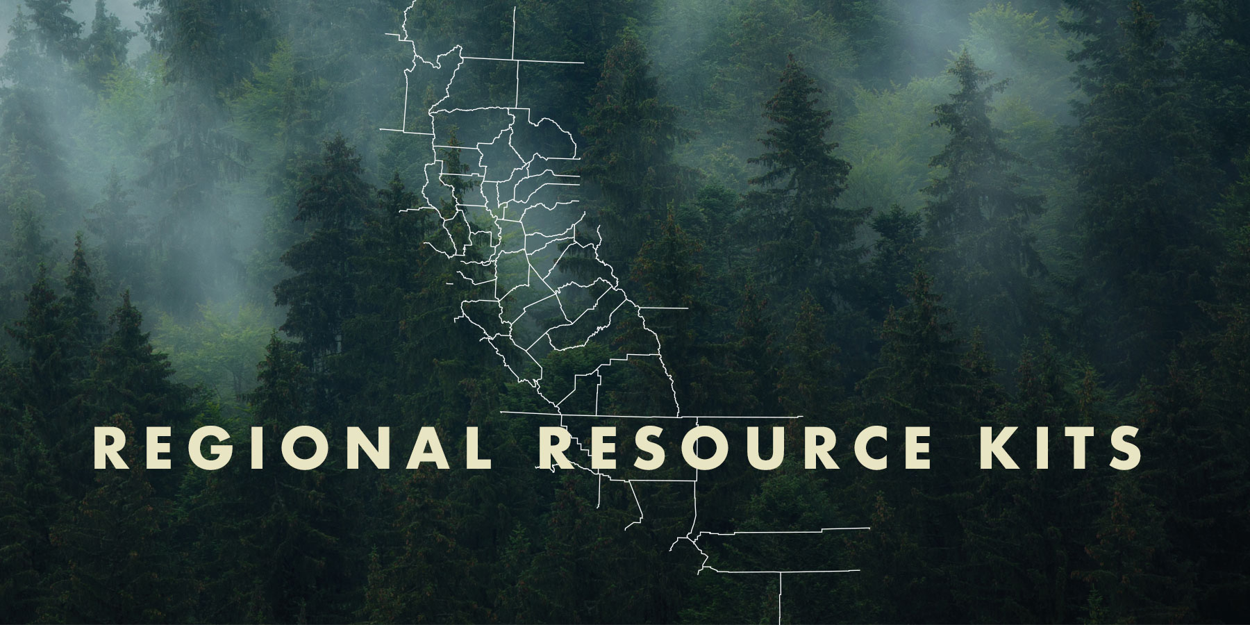
Regional Resource Kits and Profiles Are Now Available
Regional Resource Kits and Profiles Are Now Available
The Task Force’s Science Advisory Panel has completed Regional Resource Kits and Regional Profiles for both the Sierra Nevada and Southern California regions. These invaluable tools are now available here on the Task Force website.
Regional Resource Kits offer critical tools and data to guide regional partners and collaboratives in their efforts to reduce wildfire hazard and improve the conditions of forested and shrub landscapes.
Likewise, Regional Profiles bring together the best available scientific information and a wide range of input from stakeholders throughout the region.
The Science Team will now focus on collecting data and tools for the Central Coast in preparation for the May 2023 Task Force meeting.
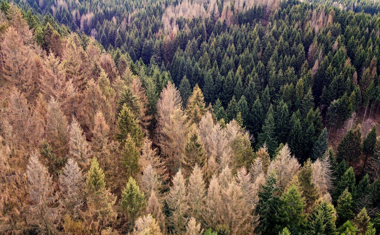
Survey Detects 36 Million Dead Trees in California
Survey Detects 36 Million Dead Trees in California
On February 7, the U.S. Forest Service published the 2022 Aerial Detection Survey report providing an annual estimate of tree mortality. The survey revealed about 36.3 million trees across 2.6 million acres of federal, state and private land died in California in 2022. The central Sierra Nevada Range and areas further north showed the highest mortality rates with true firs being the most impacted.
These data points mark an increased level of mortality compared to 2021 due to the cumulative impacts of extended drought, overstocked forest conditions, insect outbreaks, and disease.
“Forest health is a top priority for the Forest Service,” said Jennifer Eberlien, Regional Forester for the Pacific Southwest Region. “The agency’s 10-year strategy to address the wildfire crisis includes removal of dead and dying trees in the places where it poses the most immediate threats to communities.”
Tribal Wildfire Resilience Program
Up to $19M Available for Tribal Wildfire Resilience Program
CAL FIRE’s Forest Health Grant program will award competitive grants to Native American tribes located within California. Of the $19 million, up to $15 million is available for wildfire resilience implementation projects with the remainder available for planning projects. These grant funds will assist California Native American tribes in managing ancestral lands, implementing and promoting Traditional Ecological Knowledges in wildfire resilience, and establishing wildfire safety for tribal communities.
The Forest Health grant guidelines address this new opportunity and Forest Health staff hosted a Tribal Wildfire Resilience Roundtable explaining this opportunity. Applications are due February 28, 2023.
California Native American tribes provided guidance during the early consultation on the creation of this new grant program. CAL FIRE and California Natural Resources Agency (CNRA) are collaborating on the review of applications and administering of the funds. CNRA is leading program design and consulting with CAL FIRE regarding program administration including processes, project selection, and tribal consultation. CAL FIRE will administer the program, including running a solicitation, issuing grant agreements, and processing progress reports and invoices.