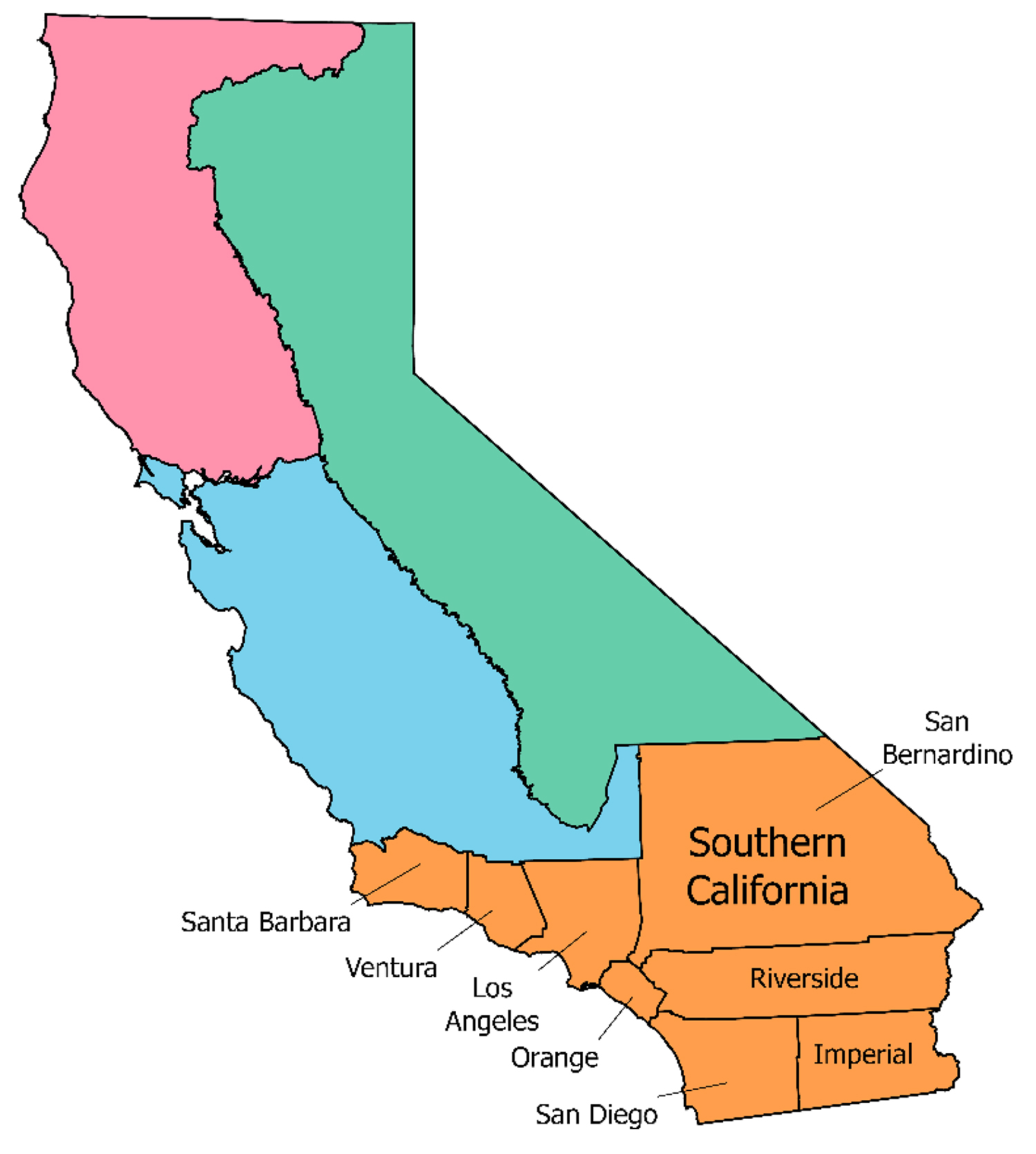
Southern CaliforniaRegional Profile
ABOUT THE SOUTHERN CALIFORNIA REGION
The Southern California Region is home to over 25 million people, which is nearly ⅔ of the population of California. The region is also notable for its ecological diversity, with habitat types ranging from shrublands on the coast to “sky island” forests on mountaintops to the Mojave Desert in the interior.
Each habitat type requires different land management strategies to be resilient to climate change and other threats. Southern California already has the highest year-to-year variability in annual precipitation of anywhere in the continental United States, and this variability is expected to increase under climate change. Droughts are projected to become more frequent and intense, while extreme precipitation events also intensify. The impact of this extreme variability was demonstrated in Dec 2022: precipitation fell as a series of atmospheric-river storms after one of California’s driest years on record, and resulted in severe flooding and mudslides.
Climate change also impacts wildfire resilience. Warmer and drier landscapes are at greater risk to wildfire, especially when ignitions occur during dry windy weather. The largest and most catastrophic wildfires in the Southern California region typically occur during the Santa Ana wind season. Santa Ana winds are a unique climatic feature of the Southern California region which occur during October to April, peaking in frequency and severity December to January. The winds originate from high-pressure regions over the Great Basin and Mojave Desert, and they blow gusts of hot, dry air to the Southern California coast. Wildfire ignitions that would normally be suppressed relatively easily can quickly grow out of control during high wind events. The longer dry season forecast under climate change makes it more likely that intense Santa Ana Wind events will occur before winter rains occur and when vegetation is still highly flammable.
Ignitions in Southern California are another critical component to the region’s wildfire resilience. While California’s natural fire regime is driven by lightning strikes, lightning events and Santa Ana winds rarely coincide seasonally. Instead, 100% of the fires that occurred during Santa Ana wind events from 1948-2018 were ignited by human activities. Primary ignition sources include powerline failures, arson, vehicles, campfires, and motorized equipment such as power tools. The 2017 Thomas Fire that burned more than 281,00 acres in Ventura and Santa Barbara Counties is believed to have been ignited by intense Santa Ana winds, which caused power lines to come into contact with each other, creating sparks. At the time, the Thomas Fire was the largest wildfire to have occurred in modern California history and remains one of the most costly, causing over $2.2 billion in damages and $230 million in suppression costs. High-intensity rain following the Thomas Fire compounded the damage by causing devastating debris flows to the town of Montecito.
Although the compounding danger of wildfire and climate change is daunting, one key strategy to addressing the threat in Southern California is reducing the number of wildfires that start. Ignitions – and consequently, area burned by wildfire – have primarily increased in Southern California as a result of population growth and increased development near wildland areas.
In addition to reducing ignitions, strategic action can be taken at state, regional, community, and even household levels to increase wildfire resilience. However, many of these actions have tradeoffs. Understanding the costs and benefits associated with different actions can enable land managers and decision-makers to better reconcile these tradeoffs and achieve multiple goals across the region.