
CAL FIRE Launches Forest Health Education Campaign
CAL FIRE Launches Forest Health Education Campaign
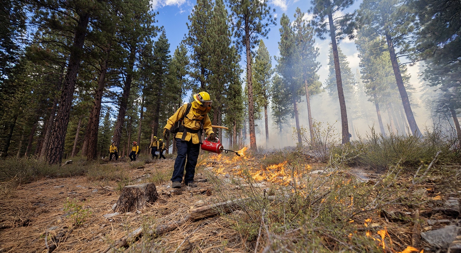
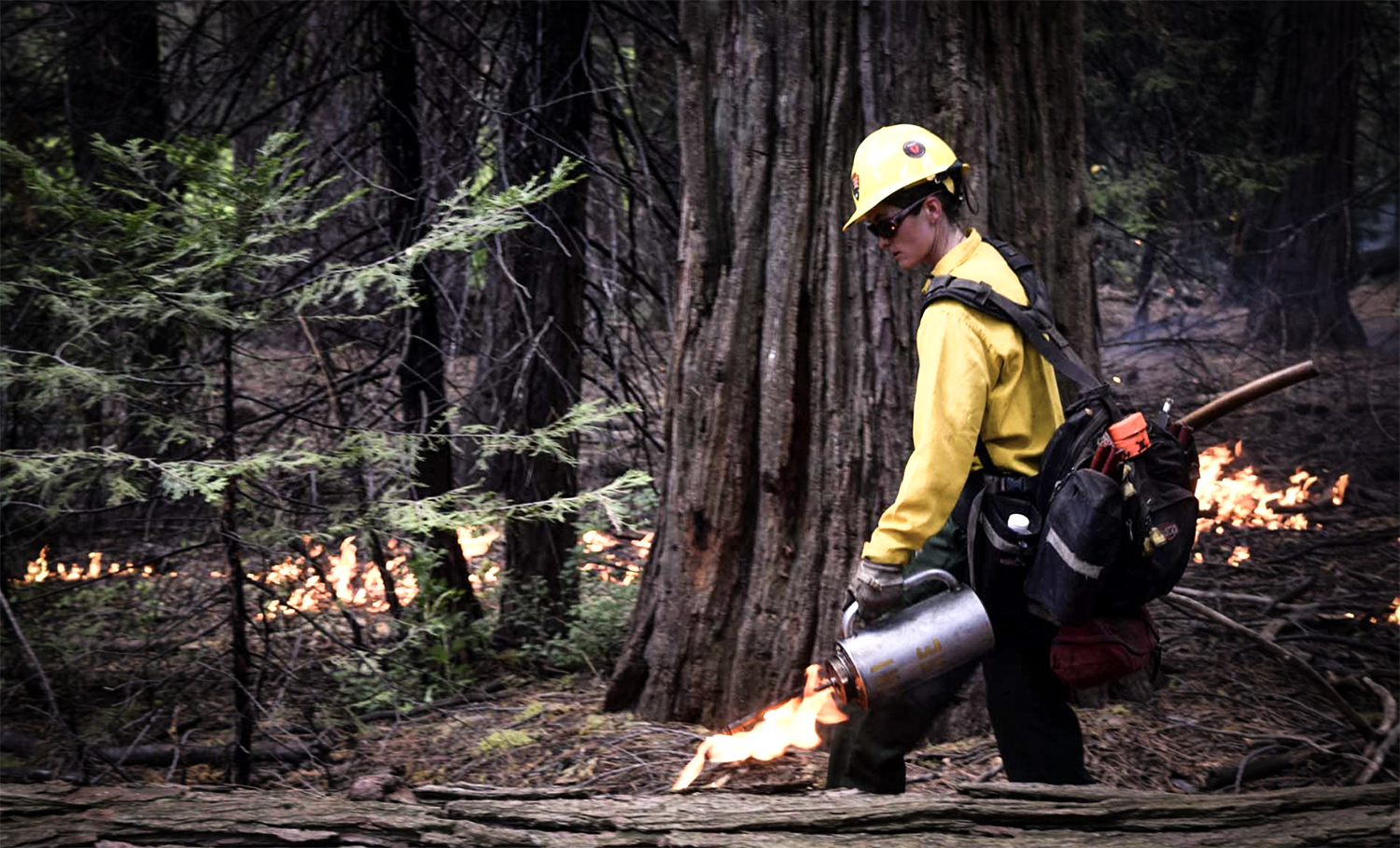
February 17, 2026 – CAL FIRE launched a new 2026 forest health media and education campaign. The campaign is aimed at helping Californians better understand the role healthy forests play in mitigating the growing wildfire threat and highlights the actions we can take together to reduce risk and protect lives, communities, and natural resources. A key focus of the campaign is highlighting proactive forest management, including beneficial fire as well as the important role individuals play at home and in their communities to prepare for wildfire through home hardening and by creating and maintaining defensible space. To support wildfire resilience messaging and public awareness, the campaign includes a new toolkit that contains easily customizable graphics and copy for use on social media, banners, and billboards.
New Findings Show Home Hardening and Zone Zero Mitigation Were Key to Protecting Homes in the 2025 Los Angeles Fires
New Findings Show Home Hardening and Zone Zero Mitigation Were Key to Protecting Homes in the 2025 Los Angeles Fires
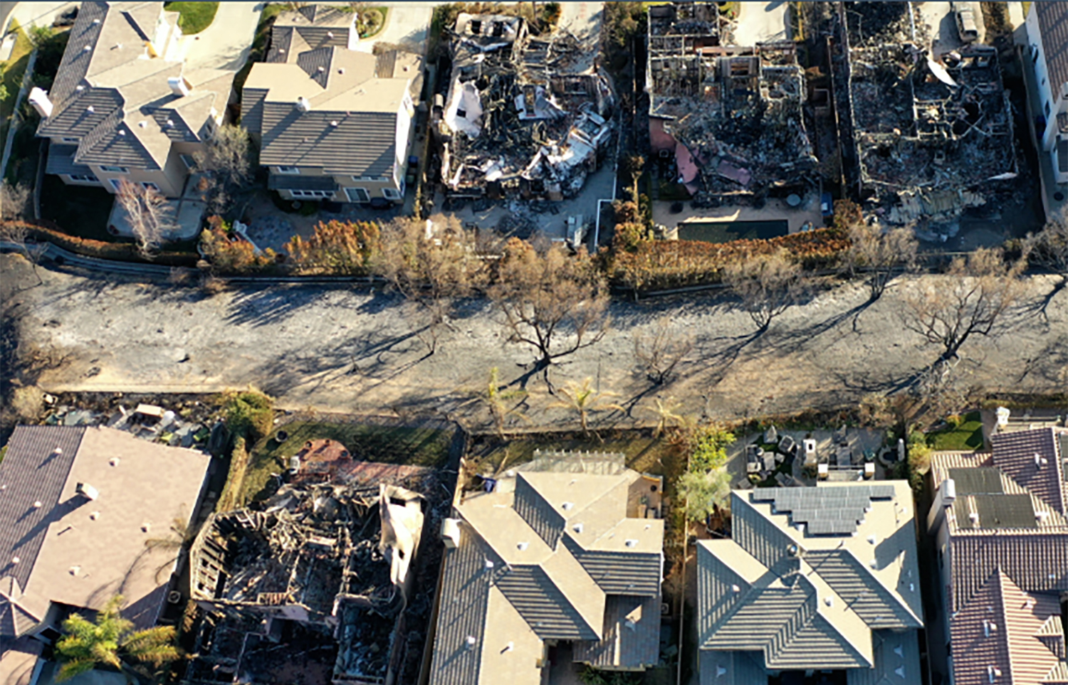
December 10, 2025 – The Insurance Institute for Business & Home Safety (IBHS) released findings from its post-event investigation of the 2025 Los Angeles County Eaton and Palisades fires, showing that a systems-based approach to wildfire resilience dramatically improves home survival in suburban conflagrations. Based on on-the-ground assessments of more than 250 properties and lab testing, the study found that homes with multiple hardening features — such as Class A roofs, noncombustible siding, double-pane windows, and enclosed eaves — were substantially more likely to avoid damage than those with only a single measure, and that vegetation and combustible materials in the first five feet around homes (Zone Zero) significantly increase the risk of ignition and loss. these results underscore the importance of comprehensive home hardening and defensible space to protect homes and neighborhoods from wildfire.
Senator Padilla Introduces Bipartisan Bill to Create New Community Wildfire Resilience Grant Program
Senator Padilla Introduces Bipartisan Bill to Create New Community Wildfire Resilience Grant Program
January 7, 2026 – U.S. Senators Alex Padilla (D-Calif.) and Tim Sheehy (R-Mont.), co-chairs of the bipartisan Senate Wildfire Caucus, announced bipartisan legislation to establish a new grant program to help local communities defend themselves from the growing danger of wildfires. The Community Protection and Wildfire Resilience Act would invest $1 billion annually to empower communities to implement additional science-based methods like home hardening for mitigating wildfire damage by funding new Community Protection and Wildfire Resilience Plans developed in coordination with community members, first responders, and relevant state agencies. The new community hardening grant program would be housed within the Federal Emergency Management Agency (FEMA). The bill would also add home hardening as an allowable project under the U.S. Forest Service’s Community Wildfire Defense Grant program.
Specifically, the bipartisan Community Protection and Wildfire Resilience Act would invest $1 billion per year to:
- Establish guidelines for communities to conceptualize new Community Protection and Wildfire Resilience Plans (CPWRP) that are developed in coordination with community members, first responders, and relevant state agencies. CPWRPs will focus on implementing strategies and activities relating to:
-
-
- Improving early detection technology, public outreach and education, alerts and warnings, evacuation planning, evacuation execution, and access for first responders;
- Addressing vulnerable populations, including the elderly and those with disabilities;
- Hardening critical infrastructure and homes;
- Applying community-scale defensible space across contiguous areas;
- Building local capacity to implement and oversee the plan;
- Deploying distributed energy resources like microgrids with battery storage;
- Implementing strategic land use planning;
- Educating community members; and
- Coordinating with existing wildfire plans like a Community Wildfire Protection Plan.
-
- Provide grants of up to $250,000 to develop a CPWRP and grants of up to $10 million to implement a CPWRP:
-
-
- Grants will be prioritized for low-income communities that are at high risk for fire or wildfire and communities recently impacted by a major wildfire.
-
- Complete a report on all federal authorities and programs to protect communities from wildfires;
- Study how a CPWRP could be used as certification for insurance companies assessing community resilience;
- Continuously update wildfire hazard maps;
- Assess impediments to emergency radio communications across departments and agencies; and
- Allow for structure hardening to be covered under existing community wildfire protection programs.
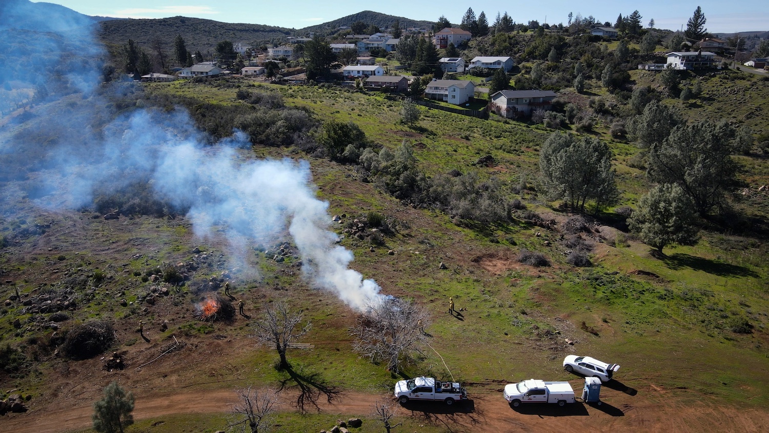
CAL FIRE Awards Over $62 Million in Wildfire Prevention Grants
CAL FIRE Awards Over $62 Million in Wildfire Prevention Grants
December 12, 2025 – CAL FIRE announced it will award nearly $62.6 million in funding for 84 local wildfire prevention projects across the state, including 41 projects in low-income and disadvantaged communities. CAL FIRE’s Wildfire Prevention Grants enable local organizations like fire safe councils to implement activities that reduce wildfire risk to communities. Funded activities include hazardous fuel reduction, wildfire prevention planning, and wildfire prevention education. These projects reach all corners of the state, including:
- Siskiyou County: The Shasta Valley Resource Conservation District will implement wildfire prevention efforts on the McCloud Fuels Management and Forest Stewardship Project, which proposes 375 acres of treatment including 200 acres of mastication and thinning and 175 acres of ridgeline shaded fuel break.
- Riverside County: the Twenty-Nine Palms Band of Mission Indians will reduce hazardous fuels (saltcedar) on 223 acres of tribal lands. The project will reduce dust and wildfire fuel loads by removing saltcedar using root plowing and chipping.
- Los Angeles County: The San Gabriel Valley Council of Governments is one of many organizations receiving funding towards wildfire prevention efforts. Their project will work towards developing a Regional Wildfire Protection Plan that will help to protect over 31 cities and communities, 22 of which are identified as “Communities at Risk.”
These projects all meet the goals and objectives of California’s Wildfire and Forest Resilience Action Plan, as well as the Strategic Fire Plan for California. Over the last six years, CAL FIRE has awarded more than $566 million in its Wildfire Prevention Grants Program to over 575 projects across the state. A full list of the 2025/2026 Wildfire Prevention Grant recipients is available here.
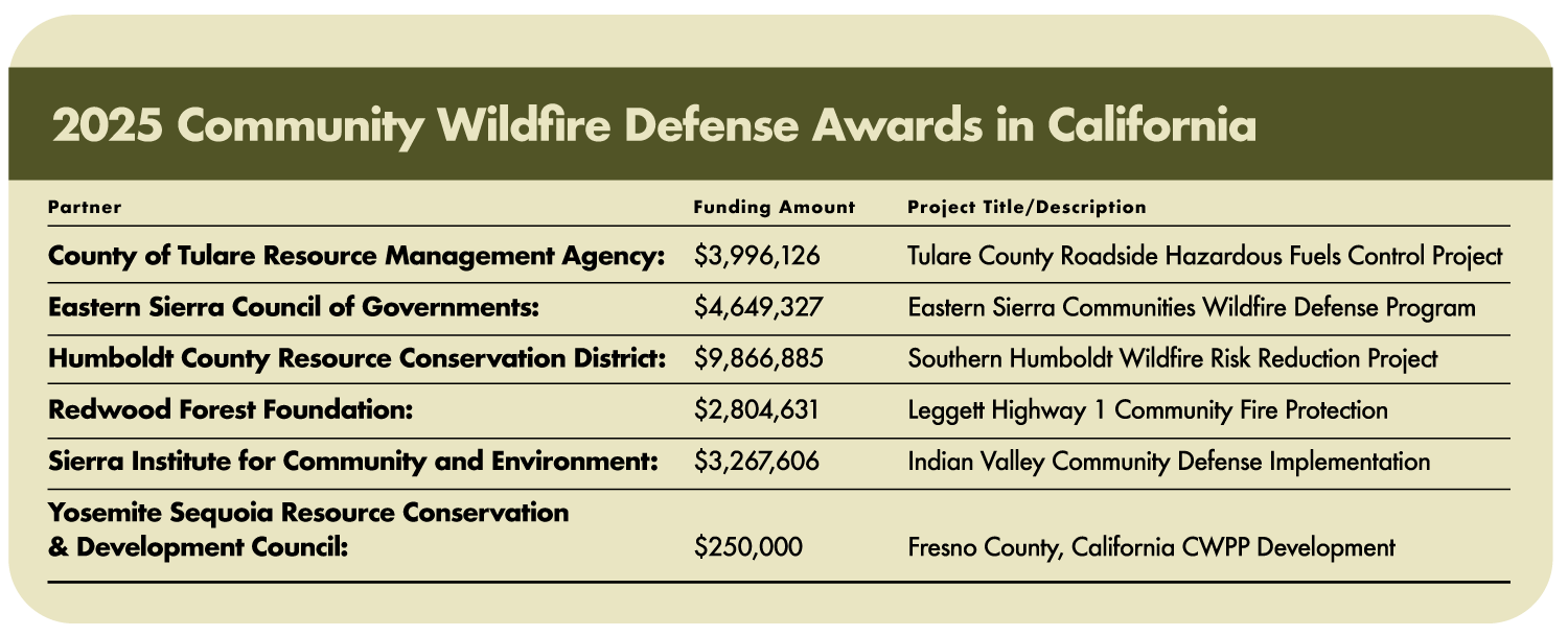
U.S. Forest Service Invests Nearly $32 Million to Protect California Communities from Wildfire
U.S. Forest Service Invests Nearly $32 Million to Reduce Wildfire Risk in California
Over $7 Million to Increase Timber Production and Reduce Wildfire Risk:
September 16, 2025 – The U.S. Forest Service announced it is investing $7.1 million for 18 projects in California. These projects are on or adjacent to 8 National Forests and will remove more than 275,000 tons of biomass that would otherwise remain in the forests. These investments into California are part of a national investment of $23 million to help 35 grant recipients remove and transport an estimated 1.1 million tons of low-value trees and woody debris from national forests to processing facilities. The grants are delivered through the agency’s Hazardous Fuels Transportation Assistance Program, which is designed to help businesses, nonprofits, and state, local, and tribal governments make use of trees, downed vegetation, and other hazardous fuels that would otherwise go to waste or fuel catastrophic wildfires. The trees and woody debris, often too low in value to cover transportation costs, are transformed from a wildfire hazard to valuable products and a source of energy.
Nearly $25 Million to Protect Communities from Wildfire:
September 23,2025 – The U.S. Forest Service announced it is investing $200 million in 58 projects through its Community Wildfire Defense Grant Program. Nearly $25 million will be allocated to 6 projects that will protect communities across California. These projects are intended to help at-risk communities plan for and reduce wildfire risk, protecting homes, businesses, and infrastructure. See details on each of California’s funded projects here.
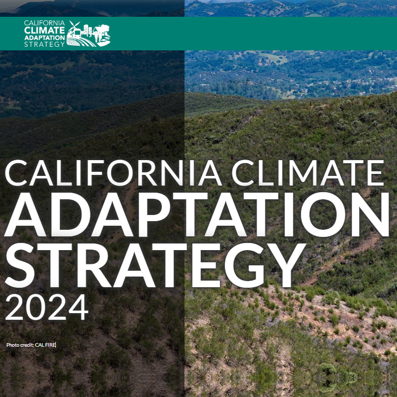
Governor Newsom Unveils California’s Updated Climate Adaptation Strategy
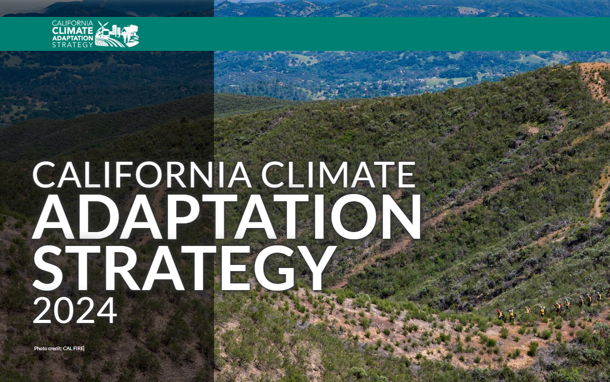
Governor Newsom Unveils California’s Updated Climate Adaptation Strategy
September 4, 2025 – Governor Newsom unveiled California’s updated Climate Adaptation Strategy — the state’s overarching framework to better protect communities and nature from dangerous climate impacts. California last updated the Strategy in 2021. The updated strategy sets strategic direction through six priorities:
- Protecting communities most vulnerable to climate change
- Improving public health and safety to protect against increasing climate risk
- Building a climate-resilient economy
- Expanding nature-based climate solutions and strengthening the resilience of natural systems
- Making decisions based on best available climate science
- Partnering and collaborating to leverage resources
These priorities are supported by cross-cutting climate resilience actions, each with associated success metrics. The strategy aligns with and builds on the goals set forth by California’s Wildfire and Forest Resilience Action Plan and includes the following actions specific to wildfire resilience:
- Prioritize actions that reduce wildfire risks to California Native American tribes and climate vulnerable communities.
- Support wildfire-prone communities by increasing the capacity of local and regional partnerships to build and maintain a pipeline of forest health and fire prevention projects.
- Invest Community Development Block Grant Disaster Recovery funds in long-term disaster recovery and resilience building that targets the unmet housing recovery needs of low and moderate-income households in a way that mitigates disaster risk and reduces future losses among vulnerable communities.
- Reduce health impacts of wildfire and prescribed fire smoke.
- Reduce the risk of energy infrastructure-related ignitions that lead to catastrophic wildfire.
- Bring to scale a thriving forest and wood products market in California that leverages public investments by energizing private capital for sustainable forest management, regional economic recovery, and climate resilience.
- Increase the pace and scale of wildfire resilience and forest health projects.
- Reduce risks of wildfire through increased use of fuel breaks and fuels reduction.
- Assist the federal government in scaling up forest treatments by supporting collaborative forest management and encouraging landscape level planning.
- Coordinate and guide prescribed fire and cultural fire activities and address the key barriers to its widespread use in California.
- Expedite permitting processes for wildfire and forest resilience projects using exemptions or the California Vegetation Treatment program.
- Invest in science-based management focused on climate resilience of California’s fire adapted landscapes.
- Improve wildfire smoke guidance for schools, children, and other vulnerable populations. Develop outreach materials for health care providers and the public on wildfire smoke health effects and ways to decrease exposure.
- Collaborate with federal, state, tribal, and private partners to increase pace and scale of restoration of fire-adapted lands and maximize the climate resilience benefits of these treatments.
- Leverage federal funding to support fire-hardening roads and communities.
First Set of Projects Fast-tracked as Part of Governor’s Emergency Proclamation on Wildfire
CNRA and CalEPA Identify First Set of Fast-tracked Projects as Part of Governor’s Emergency Proclamation on Wildfire
New Streamlined Process:
Governor Newsom issued an Emergency Proclamation (Proclamation) on March 1, 2025, to confront the severe ongoing risk of catastrophic wildfires that threatens public safety across California. The Proclamation authorizes the Secretaries of the California Natural Resources Agency (CNRA) and the California Environmental Protection Agency (CalEPA) to determine which projects are eligible for suspension of certain State of California statutory and regulatory requirements to expedite critical fuels reduction projects, while at the same time protecting public resources and the environment. The Task Force has established a website that includes eligibility criteria, FAQs, and a link to the application to request a determination of eligibility for suspension of relevant State of California statutory and regulatory requirements. The Secretaries also hosted a virtual briefing on the Proclamation and the process.
First Set of Approved Projects:
Just one week after applications opened, CNRA and CalEPA identified a 450-acre collaborative wildfire resilience project in Humboldt County as the first project to be determined eligible for streamlining. Three projects totaling 882 acres have been approved to date, spanning from the northern California coast to Sierra Nevada Mountains and all the way down to San Diego. Each of these projects involve tribes and other partners, natural resource managers and fire districts. Here is an overview of the first set of approved projects.
- The Prosper Ridge Community Wildfire Resilience Project in Humboldt County is the first approved project under the Governor’s emergency proclamation on wildfire. This collaborative state, federal, and tribal project will treat nearly 450 acres with a combination of mechanical thinning, manual treatments, and prescribed fire.
- The Sycuan Wildfire Resiliency Project covers over 240 acres in San Diego County and aims to protect the Sycuan Reservation from wildfire by reducing fire hazard, ensuring defensible space, and providing safe egress with the use of 300 grazing goats.
- Vedanta Hazardous Fuels Reduction Project will reduce wildfire risk, improve forest health and enhance landscape resilience within the WUI, reducing risk of crown fires spans across 190 acres near Lake Tahoe.
These projects are focused on removing flammable dead or dying trees, creating strategic fuel breaks, creating safe egress along roadways, manual and mechanical removal of ladder fuels and beneficial fire use. Approved project location maps and documentation will be made available on the Task Force website.
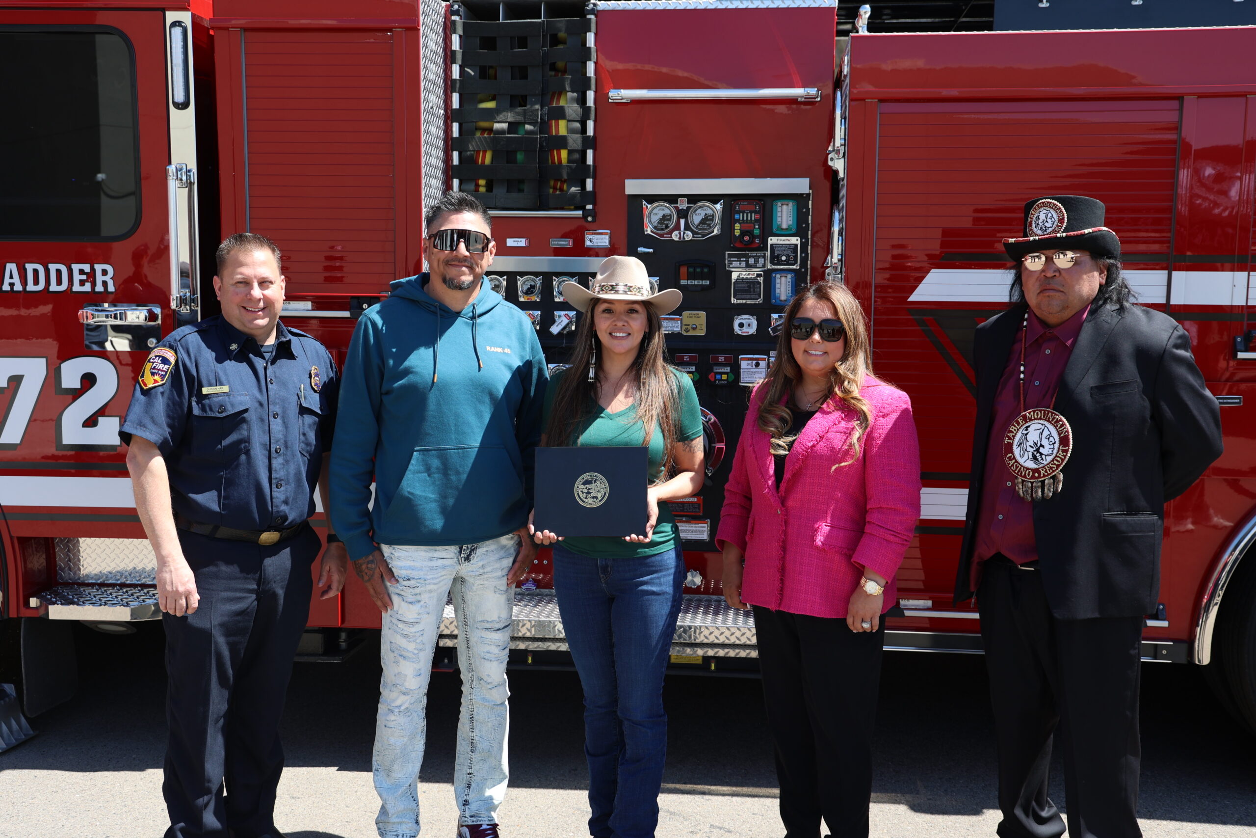
Rancheria Celebrates Achievement as the State’s 1,000th Firewise Community
Table Mountain Rancheria Celebrates Achievement as the State’s 1,000th Firewise Community During Wildfire Preparedness Week
Table Mountain Rancheria, located in Fresno County, has been announced as the 1,000th Firewise USA® community in the state during this year’s Wildfire Preparedness Week celebration. This recognition by the National Fire Protection Association® (NFPA®) highlights the commitment the community has taken to ensure that wildfire risk is reduced and that residents are prepared. Governor Newsom declared May 4-10 as “Wildfire Preparedness Week” with the theme, “Building a Fire-Ready Future: Strengthening Our Defenses, Together,” to emphasize the importance of both collaborative efforts and individual responsibility in reducing and managing wildfire risk. CAL FIRE’s readyforwildfire.org website hosts an array of preparedness resources.

Governor Newsom Signs Executive Order to Further Improve Community Hardening
Governor Newsom Signs Executive Order to Further Improve Community Hardening and Wildfire Mitigation
On February 6, Governor Newsom signed an executive order to launch key initiatives to continue adapting to future wildfires and strengthen community resilience to urban conflagration (large destructive fires that spread beyond natural or artificial barriers wherein structures themselves become the fuel that spreads the fire). The executive order:
- Directs the State Board of Forestry to accelerate its work to adopt regulations known as “Zone 0,” which will require an ember-resistant zone within 5 feet of structures located in the highest fire severity zones in the state.
- Tasks the Office of the State Fire Marshal with releasing updated Fire Hazard Severity Zone maps for areas under local government responsibility, adding 1.4 million new acres of land into the two higher tiers of fire severity, which will update building and local planning requirements for these communities statewide.
- Requires CAL FIRE and Cal OES to work with local, federal and tribal partners on improvements to the Federal resource ordering system for wildfire response.
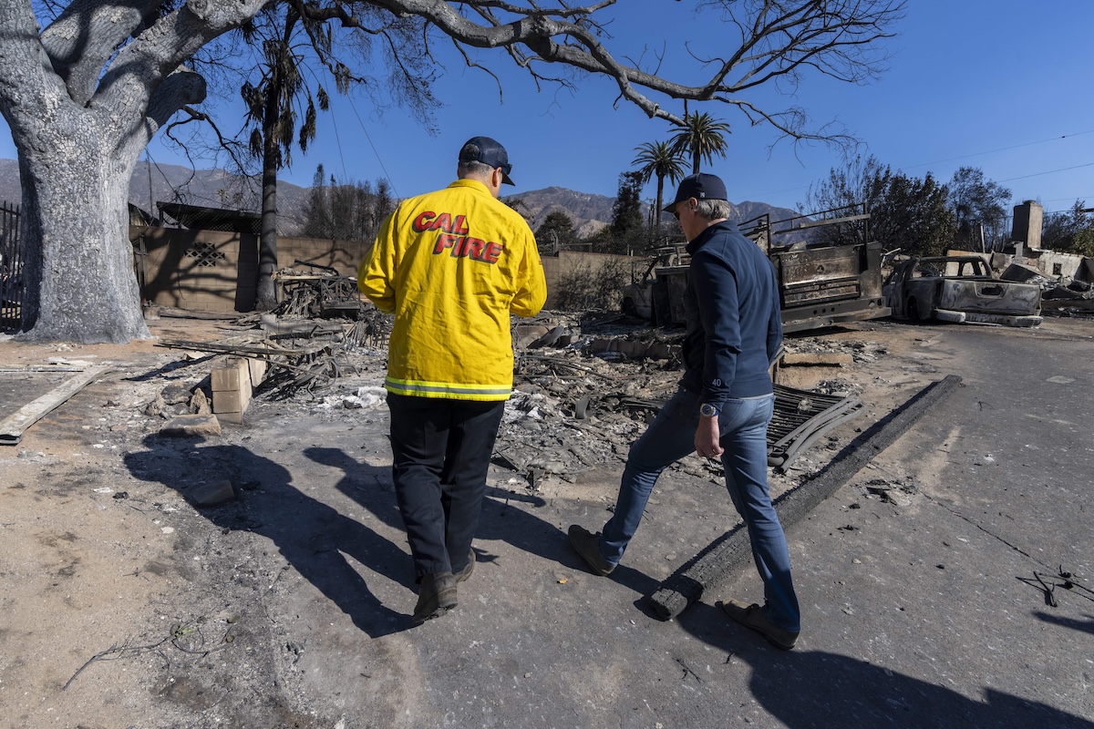
California Continues Quick and Effective Action to Assist Los Angeles Fires Recovery
California Continues Quick and Effective Action to Assist Los Angeles Fires Recovery
February 7, 2025 – Governor Newsom has launched historic recovery and rebuilding efforts to accelerate recovery and signed legislation providing over $2.5 billion to support ongoing response and jumpstart recovery efforts for Los Angeles. The Governor has signed 15 executive orders that together are:
- streamlining rebuilding of homes and businesses;
- cutting red tape and suspending permitting requirements under the California Coastal Act;
- removing bureaucratic barriers to provide critical regulatory relief to help fire survivors rebuild, and access essential services;
- providing tax and mortgage relief to impacted communities and businesses, as well as extending tax deadlines;
- fast-tracking temporary housing and protecting tenants; and
- mobilizing debris removal and cleanup and protecting communities from flooding and landslides.
Additionally, State and federal resources have come together to accelerate a safe recovery for Los Angeles:
- The California Conservation Corps (CCC) responded quickly in recovery efforts by installing silt socks and straw wattles around storm drains in the burn zones to keep contaminants found in the ash from washing into the Los Angeles watershed. This was the largest deployment of Corpsmembers in CCC history targeting erosion and contaminant control.
- The California Department of Water Resources deployed over 30 watershed experts and engineers to Los Angeles to support fire mitigation work in burn scar areas and protect downstream communities by keeping toxic runoff out of local watersheds.
- The California Department of Conservation deployed its Watershed Emergency Response Teams to the front lines to quickly assess post fire hazards such as debris flows, flash floods, and falling rocks.
- The California Department of Fish and Wildlife (CDFW) is supporting intake of burned and impacted wildlife to rehabilitation centers, as well as relocating wildlife to help expedite recovery for both people and animals. CDFW also mobilized staff and volunteers to rescue a population of endangered Steelhead trout in Topanga Creek.
- California State Parks is working with US EPA, Cal OES, and CalEPA to help the recovery effort by hosting two temporary sites to safely process hazardous household materials removed from properties destroyed by the Palisades Fire.
- The U.S. Forest Service continues ongoing assessment of damage from the Eaton and Hughes fires through the deployment of Burned Area Emergency Response (BAER) Teams. These teams include scientists, historians and other subject matter experts that identify potential emergency threats on federal lands, such as human life and safety, national forest property, critical natural resources, and critical pre-historic and historic properties, and more. In addition, BAER Teams coordinate with other agencies, who assist businesses, homes and landowners preparing for rain events and potential flooding and debris flow in fire affected areas.
- The Bureau of Land Management (BLM) is currently engaging in emergency stabilization and rehabilitation (ESR) planning following the Border 2 Fire to mitigate the potential impacts of the burned area, such as mud and debris flows, erosion, and other damages. Additionally, BLM assessed impacts of the Hughes Fire and no emergency stabilization or rehabilitation needs were identified.