
Governor Newsom Unveils California’s Updated Climate Adaptation Strategy
Governor Newsom Unveils California’s Updated Climate Adaptation Strategy
September 4, 2025 – Governor Newsom unveiled California’s updated Climate Adaptation Strategy — the state’s overarching framework to better protect communities and nature from dangerous climate impacts. California last updated the Strategy in 2021. The updated strategy sets strategic direction through six priorities:
- Protecting communities most vulnerable to climate change
- Improving public health and safety to protect against increasing climate risk
- Building a climate-resilient economy
- Expanding nature-based climate solutions and strengthening the resilience of natural systems
- Making decisions based on best available climate science
- Partnering and collaborating to leverage resources
These priorities are supported by cross-cutting climate resilience actions, each with associated success metrics. The strategy aligns with and builds on the goals set forth by California’s Wildfire and Forest Resilience Action Plan and includes the following actions specific to wildfire resilience:
- Prioritize actions that reduce wildfire risks to California Native American tribes and climate vulnerable communities.
- Support wildfire-prone communities by increasing the capacity of local and regional partnerships to build and maintain a pipeline of forest health and fire prevention projects.
- Invest Community Development Block Grant Disaster Recovery funds in long-term disaster recovery and resilience building that targets the unmet housing recovery needs of low and moderate-income households in a way that mitigates disaster risk and reduces future losses among vulnerable communities.
- Reduce health impacts of wildfire and prescribed fire smoke.
- Reduce the risk of energy infrastructure-related ignitions that lead to catastrophic wildfire.
- Bring to scale a thriving forest and wood products market in California that leverages public investments by energizing private capital for sustainable forest management, regional economic recovery, and climate resilience.
- Increase the pace and scale of wildfire resilience and forest health projects.
- Reduce risks of wildfire through increased use of fuel breaks and fuels reduction.
- Assist the federal government in scaling up forest treatments by supporting collaborative forest management and encouraging landscape level planning.
- Coordinate and guide prescribed fire and cultural fire activities and address the key barriers to its widespread use in California.
- Expedite permitting processes for wildfire and forest resilience projects using exemptions or the California Vegetation Treatment program.
- Invest in science-based management focused on climate resilience of California’s fire adapted landscapes.
- Improve wildfire smoke guidance for schools, children, and other vulnerable populations. Develop outreach materials for health care providers and the public on wildfire smoke health effects and ways to decrease exposure.
- Collaborate with federal, state, tribal, and private partners to increase pace and scale of restoration of fire-adapted lands and maximize the climate resilience benefits of these treatments.
- Leverage federal funding to support fire-hardening roads and communities.
Governor Signs Legislation Investing $170M for Wildfire Prevention
Governor Newsom Signs Legislation Investing $170 Million for California Conservancies to Prevent Catastrophic Wildfires
April 14, 2025 – Governor Newsom signed Assembly Bill 100, which allocates over $170 million in accelerated funding to conservancies for forest and vegetation management across California. The bill also allocates $10 million to the Karuk Tribe to construct a first-of-its-kind Regional Fire Resiliency Center in northeastern Humboldt County. Funding to State conservancies includes:
• $30,904,000 to the Sierra Nevada Conservancy
• $23,524,000 to the California Tahoe Conservancy
• $31,349,000 to the Santa Monica Mountains Conservancy
• $30,904,000 to the State Coastal Conservancy
• $30,904,000 to the San Gabriel and Lower Los Angeles Rivers and Mountains Conservancy
• $23,524,000 to the San Diego River Conservancy
In addition, Governor Newsom signed an executive order to ensure that the wildfire safety projects funded under AB 100 benefit from streamlining under a previous emergency proclamation issued in March.
California Passes Proposition 4 — Providing $1.5 Billion for Wildfire Resilience
California Passes Proposition 4 — Providing $1.5 Billion for Wildfire Resilience
November 5, 2024 – Californians passed Proposition 4, the first-ever climate bond to go before California voters. The proposition provides $10 billion in bond funds for critical wildfire, flood protection, and other climate resilience projects around the state, including $1.5 billion for wildfire resilience. This funding will enable agencies to improve landscape health and resilience and protect communities from wildfire risks through programs such as the Regional Forest and Fire Capacity Program. The funding also includes $50 million for long-term capital infrastructure projects that utilize wildfire mitigation waste for non-combustible uses.
In addition to funding wildfire resilience, $1.2 billion will be used to protect natural lands and preserve biodiversity, with $870 million directed to the Wildlife Conservation Board to help the state to meet its goal to protect 30% of lands by 2030. The approval of Proposition 4 is a major advancement for California’s efforts to increase the pace and scale of wildfire and landscape resilience treatments, adapt to a changing climate, and reach goals set in the California’s Wildfire and Forest Resilience Action Plan.
Explore the Treatment Dashboard - Take The Survey
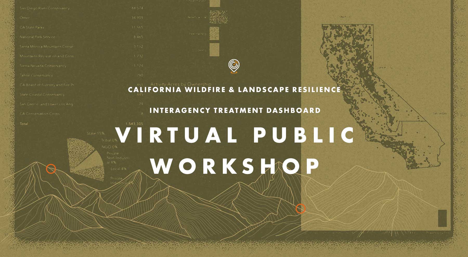
Recap: Treatment Dashboard Virtual Workshop
On Tuesday, November 14 the Task Force hosted a Virtual Public Workshop on the CA Wildfire & Landscape Resilience Interagency Treatment Dashboard. The goal of the workshop was to gather input from those using the Treatment Tracking System and Dashboard to improve how data is accessed and displayed, and to ensure we are providing transparency and effective planning information on statewide wildfire resilience treatments.
If you missed the workshop, or want to look back at what was covered, click on the buttons above to watch a video of the presentation from Alan Talhelm, Assistant Deputy Director for Climate and Energy at CAL FIRE, and a key architect of the Dashboard. You can also view and download Alan’s presentation and take a moment to answer a quick survey for gathering additional input on how the Dashboard can be most effective.
30x30 Becomes Law
30x30 Becomes Law
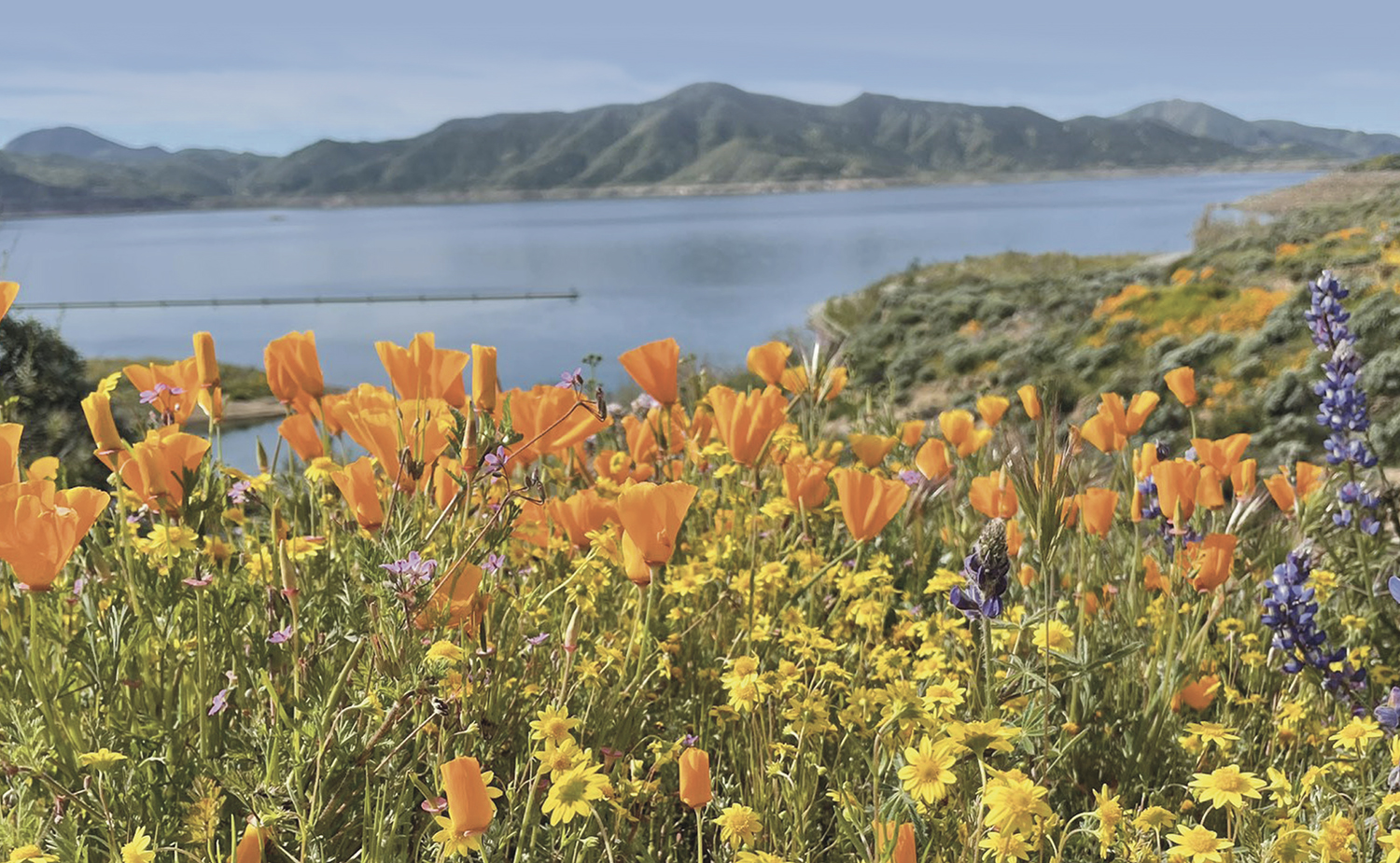
On October 7 Governor Newsom signed Senate Bill (SB) 337, establishing the statewide goal to conserve at least 30 percent of California’s land and coastal waters by 2030 (30×30). This legislation establishes the goal in statute, ensuring that it will remain a commitment for future administrations through 2030. The three primary objectives of 30×30 are to conserve and restore biodiversity, expand access to nature, and mitigate and build resilience to climate change. Accomplishing these objectives will assist the Task Force in ongoing efforts to improve forest health to manage the risk of wildfire.
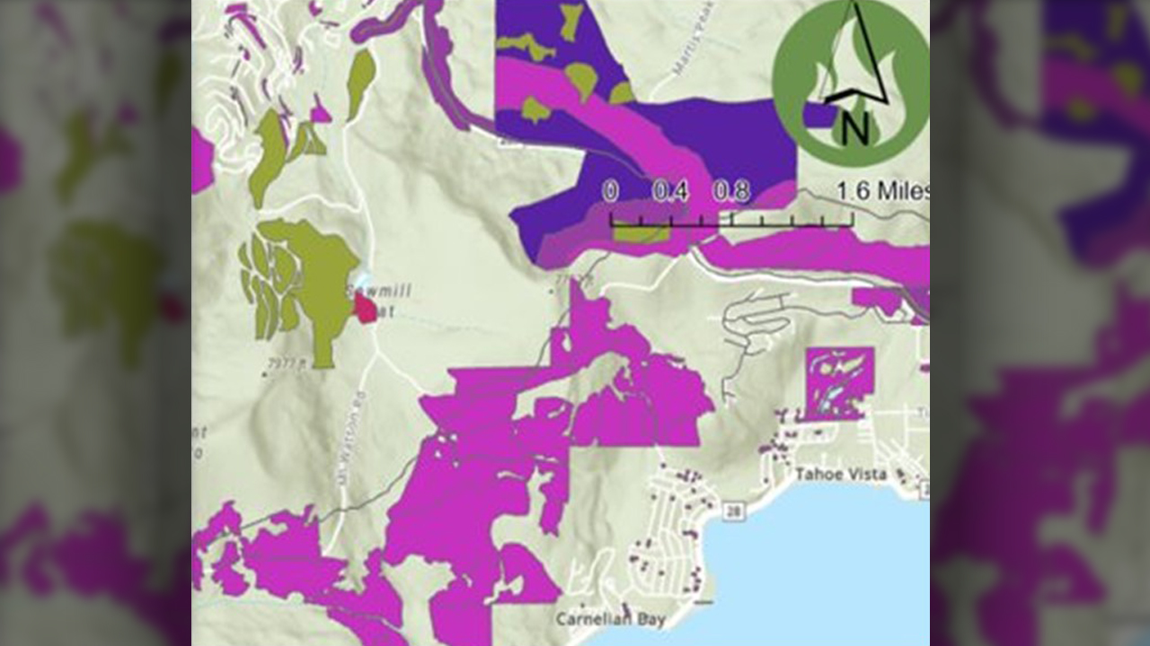
Liberty Utilities Partners for Powerline Resilience Corridor Project
Liberty Utilities Partners for Utilities Powerline Resilience Corridor Project
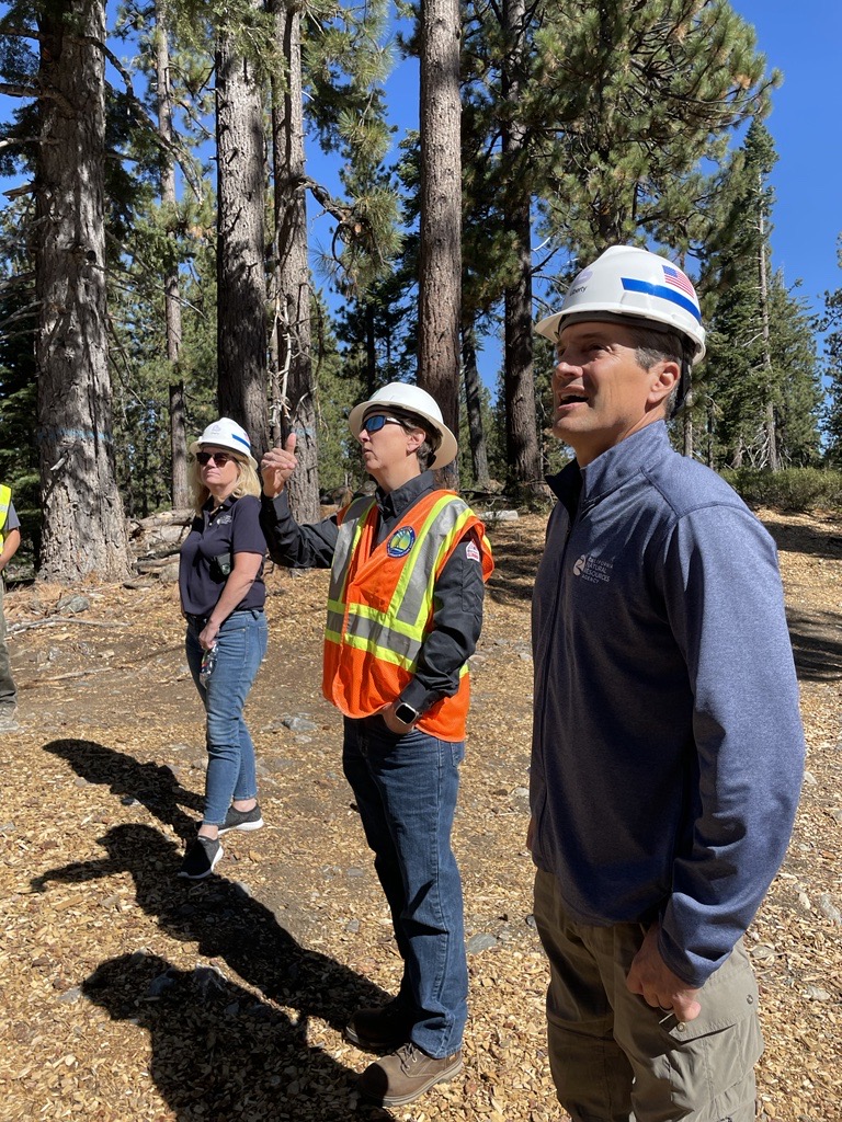
To protect the remarkable Lake Tahoe Basin from wildfire risks, Liberty Utilities’ Powerline Resilience Corridor Project is reducing fuels along powerlines and working alongside the U.S. Forest Service, the National Forest Foundation, and the California Tahoe Conservancy to expand fuels treatments to increase energy safety and promote wildfire resilience in this ecologically and economically important region. Multi-partner collaborations like this project are imperative to Task Force goals to scale up treatments from individual project to landscape scale.
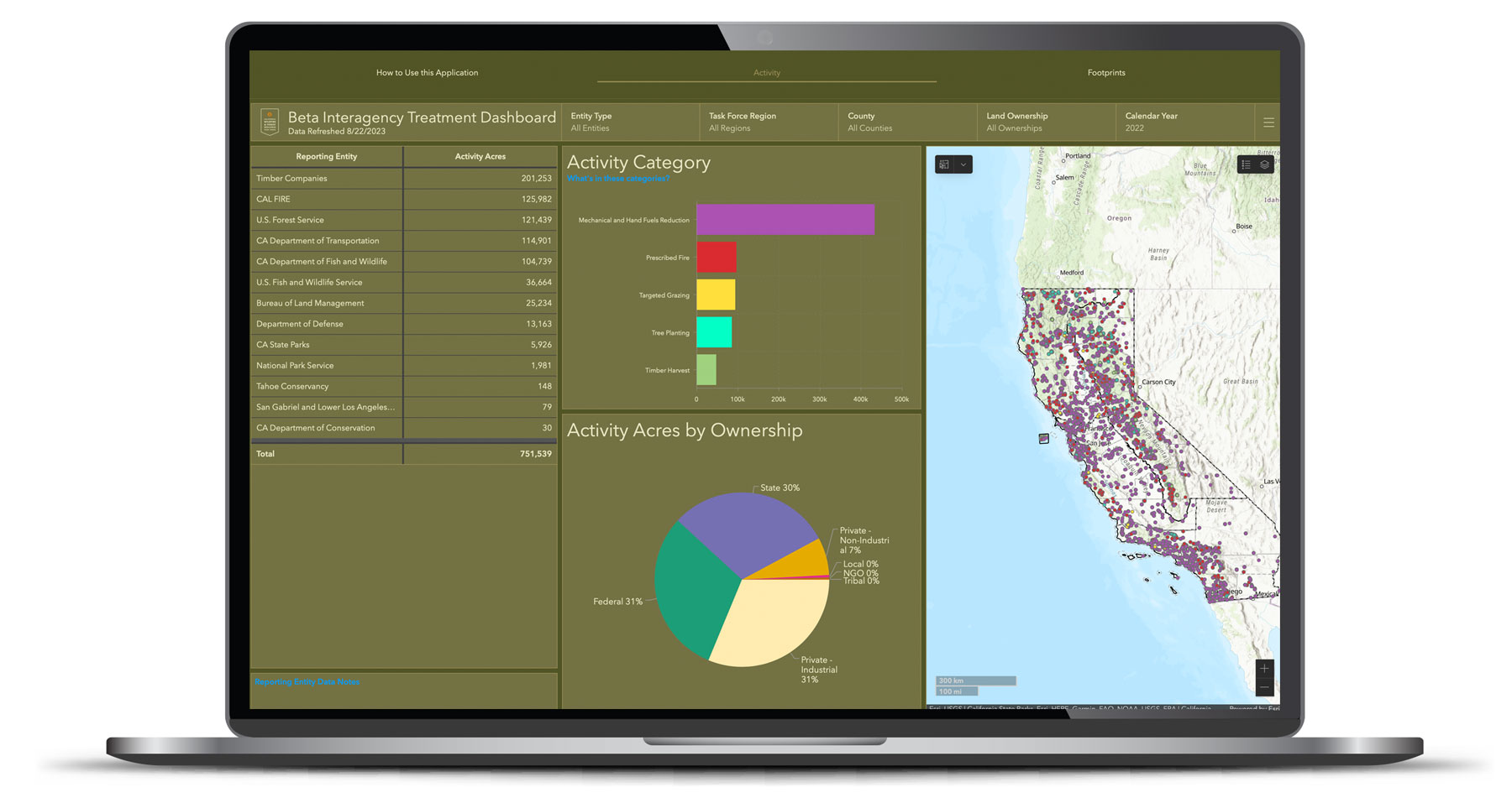
New Online Treatment Dashboard to Track Wildfire Resilience Projects
New Online Treatment Dashboard to Track Wildfire Resilience Projects
On August 29, the Governor’s Wildfire and Forest Resilience Task Force launched the beta version of a first-of-its-kind Interagency Treatment Dashboard beta that displays the size and location of state and federal forest and landscape resilience projects in California.
The dashboard offers a one-stop-shop to access data, provide transparency, and align the efforts of more than a dozen agencies to build resilient landscapes and communities in California. It reports treatment activities such as prescribed fire, targeted grazing, uneven-aged timber harvest, mechanical and hand fuels reduction, and tree planting. Users can sort treatments by region, county, land ownership and more.
The beta version of the dashboard will continue to be refined to include additional data, including projects by local and tribal entities, along with revisions based on public feedback. An official launch is expected in spring 2024 with more complete data on projects implemented in 2022.
Wildfire & Forest Resilience Treatment Tracking and Mapping
Wildfire & Forest Resilience Treatment Tracking and Mapping
At the March 30 Task Force meeting, the Task Force’s Monitoring, Reporting and Assessment Work Group gave an update on their efforts to build an interagency treatment tracker. The group is assembling federal, state, local, private data on planned, active, and completed projects statewide, including those on forests, grasslands, shrublands, and covering approximately 60 different activities (type of work completed). The goals include tracking progress toward state/federal acreage targets; facilitating regional planning and monitoring; and assessing benefits/costs beyond “acres treated.” The Task Force anticipates having a publicly available treatment tracking map and dashboard by summer 2023.
RESOURCES
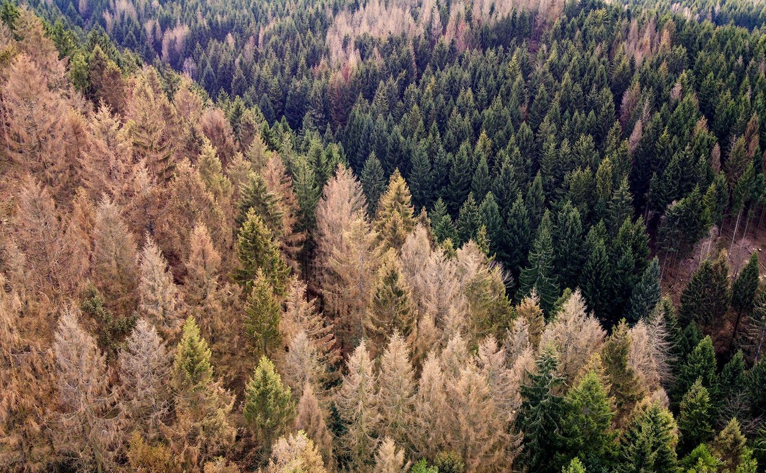
Survey Detects 36 Million Dead Trees in California
Survey Detects 36 Million Dead Trees in California
On February 7, the U.S. Forest Service published the 2022 Aerial Detection Survey report providing an annual estimate of tree mortality. The survey revealed about 36.3 million trees across 2.6 million acres of federal, state and private land died in California in 2022. The central Sierra Nevada Range and areas further north showed the highest mortality rates with true firs being the most impacted.
These data points mark an increased level of mortality compared to 2021 due to the cumulative impacts of extended drought, overstocked forest conditions, insect outbreaks, and disease.
“Forest health is a top priority for the Forest Service,” said Jennifer Eberlien, Regional Forester for the Pacific Southwest Region. “The agency’s 10-year strategy to address the wildfire crisis includes removal of dead and dying trees in the places where it poses the most immediate threats to communities.”
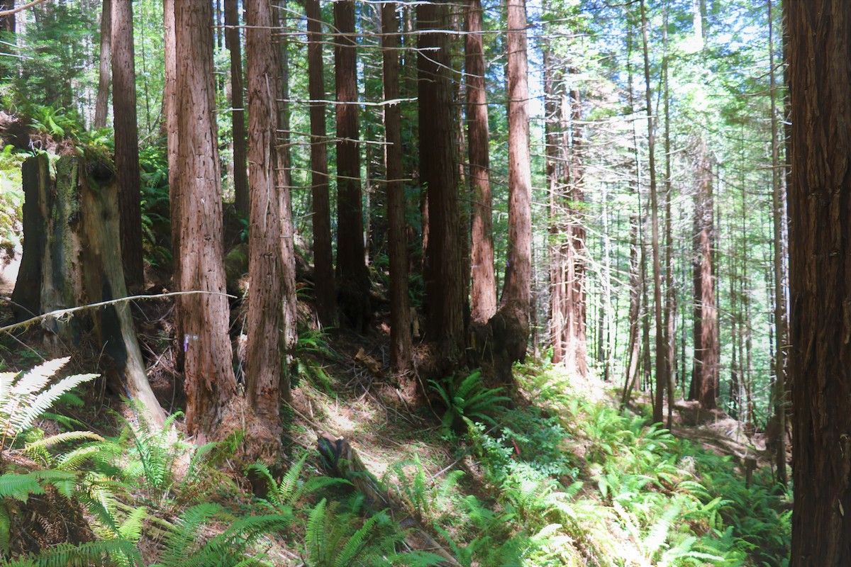
CAL FIRE Announces New Vision for The Jackson Demonstration State Forest
CAL FIRE Announces New Vision for The Jackson Demonstration State Forest
Based on discussions with tribal governments and key stakeholders, the new vision will inform an update to the Jackson Management Plan with a renewed focus on climate science, restoration ecology and a new model for tribal co-management. CAL FIRE also announced that timber harvest will resume with a focus on small trees, removing slash piles, permanently protecting large trees, and enhancing protection of culturally sensitive sites.