
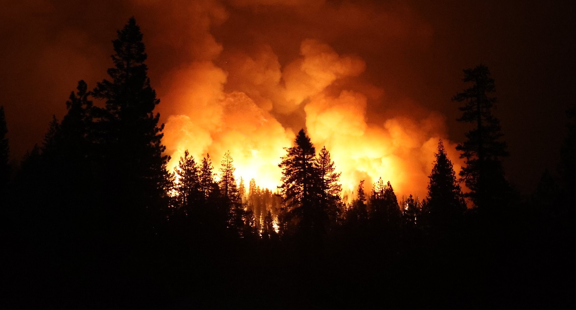
Wildfire Mitigation and Management Commission Releases Final Report
Wildfire Mitigation and Management Commission Releases Final Report
On September 27, the federal Wildland Fire Mitigation and Management Commission, co-chaired by the U.S. Departments of Agriculture and Interior and the Federal Emergency Management Agency, released a final report submitted to Congress that reflects a comprehensive review of the federal wildfire system. The report makes 148 recommendations covering seven key themes:
- Urgent new approaches to address the wildfire crisis
- Supporting collaboration to improve partner involvement
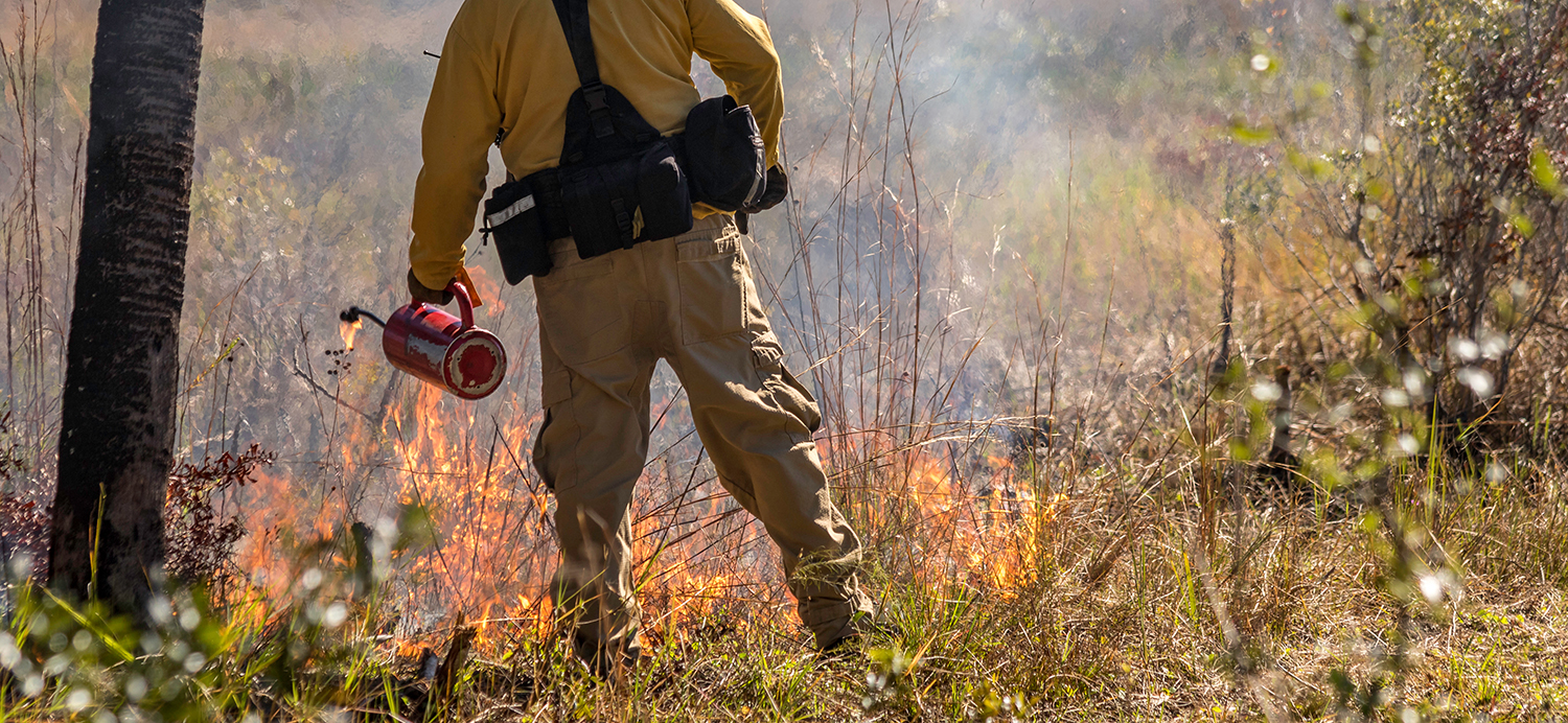
- Shifting from reactive to proactive in planning for, mitigating and recovering from fire
- Enabling beneficial fire to reduce the risk of catastrophic wildfire
- Supporting and expanding the workforce to hire and retain the wildland firefighting staff needed to address the crisis
- Modernizing tools for informed decision-making to better leverage available technology and information
- Investing in resilience through increased spending now to reduce costs in the long run
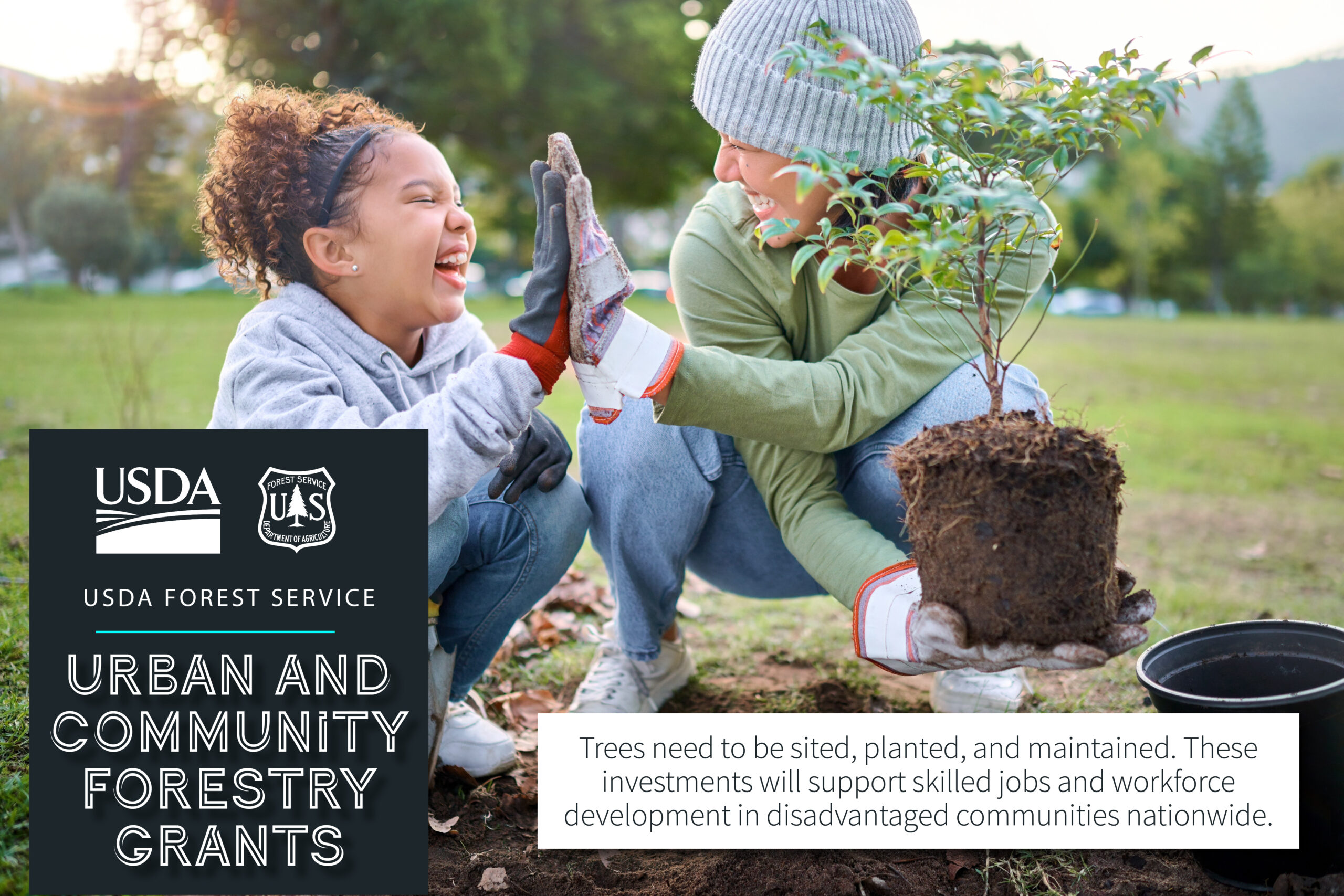
USFS Invests Over $100 Million to Plant Trees and Combat Extreme Heat
USFS Invests Over $100 Million in California to Plant Trees and Combat Extreme Heat
On September 14, the US Forest Service announced over $1 billion in Urban and Community Forestry grants to plant and maintain trees, combat extreme heat and climate change, and improve access to nature in cities, towns, and suburbs where more than 84% of Americans live, work, and play. This includes 43 funded projects with funds totaling over $100 million across cities in California. This is the largest single USDA Inflation Reduction Act investment to date in urban and community forests.
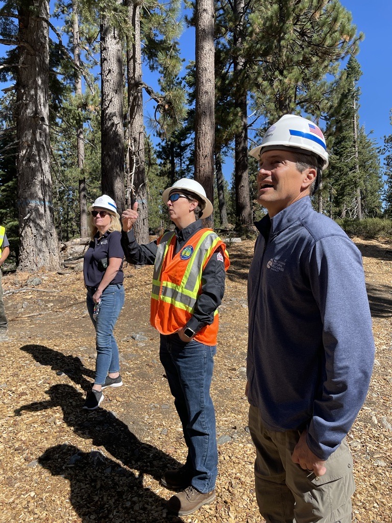
Liberty Utilities Partners for Powerline Resilience Corridor Project
Liberty Utilities Partners for Utilities Powerline Resilience Corridor Project
To protect the remarkable Lake Tahoe Basin from wildfire risks, Liberty Utilities’ Powerline Resilience Corridor Project is reducing fuels along powerlines and working alongside the U.S. Forest Service, the National Forest Foundation, and the California Tahoe Conservancy to expand fuels treatments to increase energy safety and promote wildfire resilience in this ecologically and economically important region. Multi-partner collaborations like this project are imperative to Task Force goals to scale up treatments from individual project to landscape scale.

USFS Announces Landscape Scale Investments to Restore Forests in California
USFS Announces Landscape Scale Investments to Restore Forests in California
On August 29, the USFS announced a $16.2 million nationwide investment to restore forests across tribal, state and private lands. As part of this investment, over $1.1 million is allocated between four California tribal projects conducted by the Hoopa Valley Tribe, Pechanga Band of Indians, Redwood Valley Rancheria Little River Band of Pomo Indians, and the Yurok Tribe. Additionally, $105,000 from state project funding is allocated to restore native forests in the Elkhorn Slough Watershed.
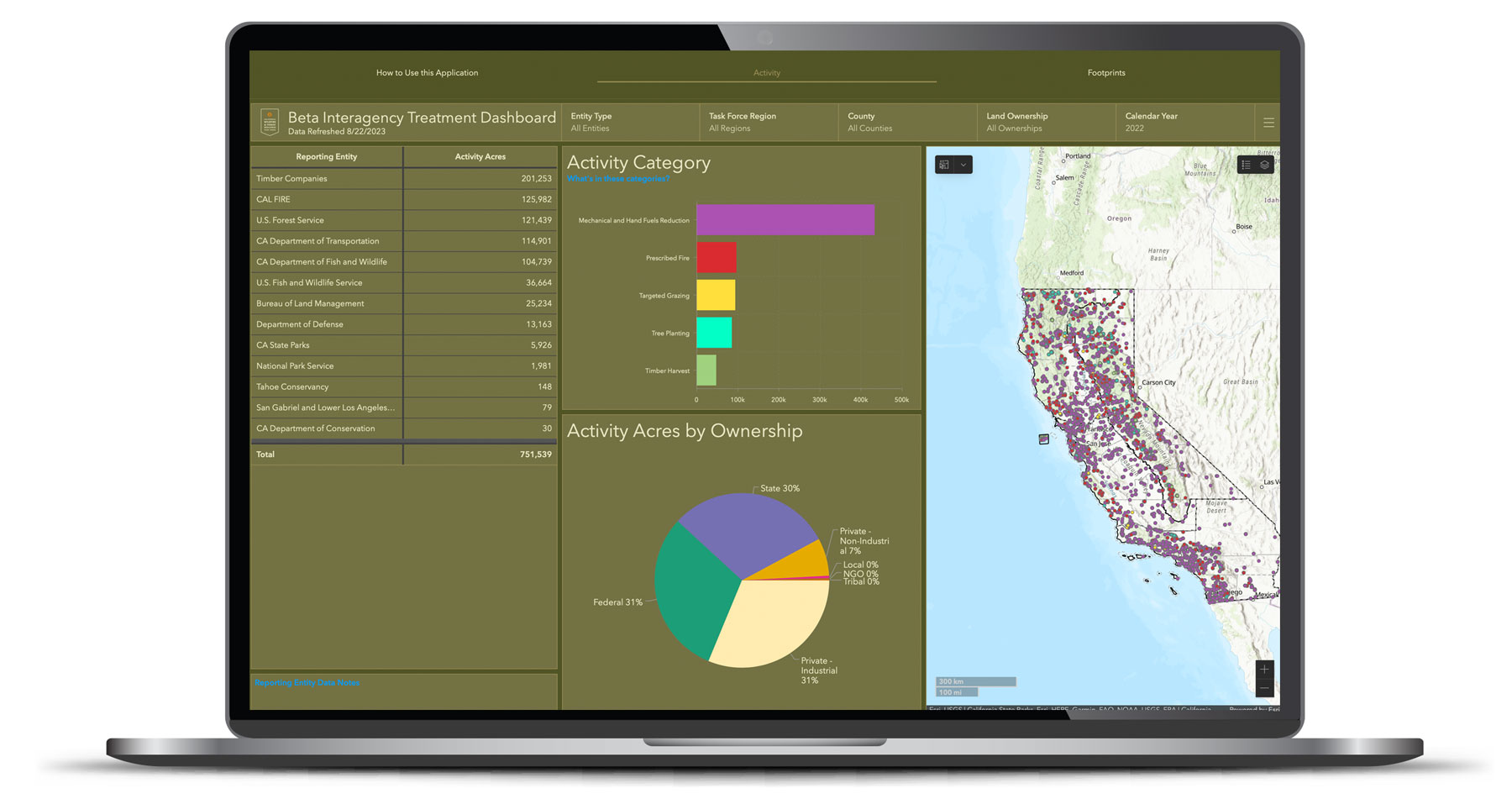
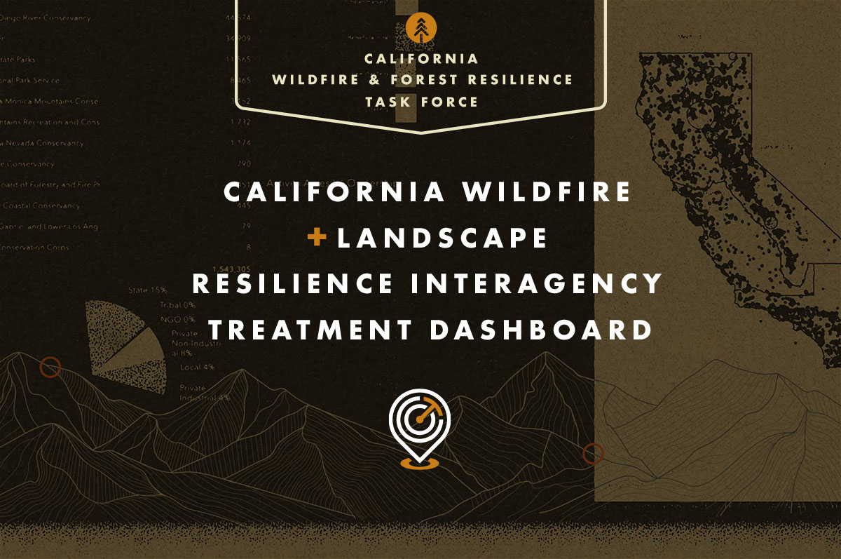
New Online Treatment Dashboard to Track Wildfire Resilience Projects
New Online Treatment Dashboard to Track Wildfire Resilience Projects
On August 29, the Governor’s Wildfire and Forest Resilience Task Force launched the beta version of a first-of-its-kind Interagency Treatment Dashboard beta that displays the size and location of state and federal forest and landscape resilience projects in California.
The dashboard offers a one-stop-shop to access data, provide transparency, and align the efforts of more than a dozen agencies to build resilient landscapes and communities in California. It reports treatment activities such as prescribed fire, targeted grazing, uneven-aged timber harvest, mechanical and hand fuels reduction, and tree planting. Users can sort treatments by region, county, land ownership and more.
The beta version of the dashboard will continue to be refined to include additional data, including projects by local and tribal entities, along with revisions based on public feedback. An official launch is expected in spring 2024 with more complete data on projects implemented in 2022.
California Launches Online Tool to Track Wildfire Resilience Projects
FOR IMMEDIATE RELEASE
August 29, 2023
California Launches Online Tool to Track Wildfire Resilience Projects
New beta statewide tracking system brings local, state, and federal wildfire resiliency projects into one place to reflect significant progress.
(Sacramento, CA) – Today, the Governor’s Wildfire and Forest Resilience Task Force (Task Force) launched the beta version of a first-of-its-kind Interagency Treatment Dashboard that displays the size and location of state and federal forest and landscape resilience projects in California.
The dashboard offers a one-stop-shop to access data, provide transparency, and align the efforts of more than a dozen agencies to build resilient landscapes and communities in California. It reports treatment activities such as prescribed fire, targeted grazing, uneven-aged timber harvest, mechanical and hand fuels reduction, and tree planting. Users can sort treatments by region, county, land ownership and more.
“Thanks to historic funding from our Legislature and Governor Newsom, over 1,000 wildfire resilience projects are in motion across the state to protect communities and our diverse landscapes from catastrophic wildfire,” said California Secretary for Natural Resources Wade Crowfoot, co-chair of the Task Force. “Now we can track our progress like never before through this public Interagency Dashboard. It identifies where projects are happening, what kind of work is happening in a given location, and how much overall resilience work is being done. It’s one more step forward in building a comprehensive, durable approach to increasing our wildfire resilience in years to come.”
“This dashboard delivers a new tool for collaboration among agencies and communities,” said U.S. Forest Service Regional Forester Jennifer Eberlien, who co-chairs the Task Force with Secretary Crowfoot. “Having access to treatment information in this format will allow us to coordinate landscape scale activities aimed at restoring and enhancing ecosystem resilience.”
The dashboard compiles data from a broad range of organizations and government departments—many of which have different reporting requirements guiding how they capture information. While individual reporting tools and data will sometimes differ from this statewide snapshot, the dashboard brings these different reporting approaches together as a single and streamlined reporting tool. Key differences are addressed in the dashboard website FAQs .
“It takes everyone to create a more wildfire resilient California and this dashboard reflects the strides being made to get us there,” said CAL FIRE Director and Fire Chief Joe Tyler. “This dashboard shows how far we’ve come, the significant efforts underway, and our firm commitment to future work. As our many partners share data and outcomes to a central place, the mission of protecting communities and natural resources will remain the common thread driving our work. This new tool will also provide first responders a snapshot of where treatment has occurred to help inform fire suppression efforts.”
The dashboard is an important step to increase the pace and scale of statewide actions addressing California’s wildfire crisis and is a key deliverable of the Governor’s Wildfire and Forest Resilience Action Plan , issued by the Task Force in January 2021.
The beta version of the dashboard will continue to be refined to include additional data, including projects by local and tribal entities, along with revisions based on public feedback. An official launch is expected in spring 2024 with more complete data on projects implemented in 2022.
Contact Information:
Sky Biblin, Communications Coordinator
Governor’s Wildfire and Forest Resilience Task Force
916-502-6527
Albert Lundeen, Director of Media Relations
California Natural Resources Agency
albert.lundeen@resources.ca.gov
916-606-3990
D’Artanyan Ratley, Public Affairs Specialist
USDA Forest Service
USFS and CAL FIRE Conserve Private Forestland in California
Significant New Investments in Forest Conservation
Conservation of working landscapes is essential in the biodiversity and climate goals of the California Wildfire & Forest Resilience Action Plan and supports the State’s goal of conserving at least 30 percent of California’s land and coastal waters by 2030. These important investments by the state and federal Forest Legacy Programs support these goals:
Federal Awards: On June 29, the U.S. Forest Service(USFS) announced 25,110 acres of working forests in California will be conserved between two conservation easements in California thanks to $13 million from the Federal Forest Legacy Program. Nationwide, the USFS invested $188 million to conserve more than 245,000 acres. The Trinity Timberlands project will protect 12,090 acres within Shasta-Trinity and Six Rivers National Forests and the 13,020-acre Brushy Mountain project will conserve three miles of the federally designated Wild and Scenic Eel River.
State Grant Solicitation: CAL FIRE’s Forest Legacy Program will fund up to $20 million to protect forest land threatened with conversion to non-forest uses. Under this competitive grant program, CAL FIRE will purchase or accept donations of conservation easements or fee title of productive forest lands to encourage their long-term conservation. The pre-application period closes July 16, 2023.

Governor's State Budget Allocates $690 Million to Forest Health and Wildfire Resilience
Governor's State Budget Allocates $690 Million to Forest Health and Wildfire Resilience
Governor Newsom recently signed a budget bill that provides more than $690 million over the year to accelerate forest health and wildfire resilience projects throughout the state. With these new investments, the Newsom Administration has committed more than $2.8 billion to the programs and priorities in the CA Wildfire and Forest Resilience Action Plan including:
- $237 million for forest health and fire prevention grants
- $135 million to state conservancies for forest health projects
- $65 million for stewardship of state-owned lands
- $50 million for post-fire reforestation
- $35 million for prescribed fire and hand crews
- $20 million for the Regional Forest and Fire Capacity Program
- $20 million for conserving working forests
- $15 million for forest and fire workforce training at community colleges
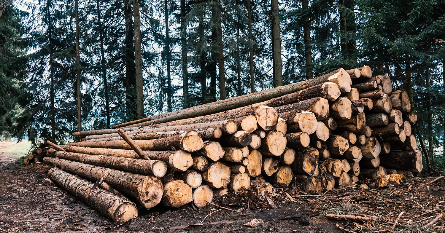
New State and Federal Investments in Wood Innovations Products
New State and Federal Investments Being Made in Wood Innovations Products
USFS Invests $43 Million in Wood Innovations Projects: The U.S. Forest Service supports innovation in the wood products economy, expansion of wood energy markets, and promotes wood as a sustainable building material. California will receive nearly $3.5 Million to invest in 12 Wood Innovations grants as part of a nationwide $54 million investment. The funded projects will expand modern wood use — as construction material in commercial buildings, as an energy source, and as manufacturing and processing for wood products used in framing homes and more.
CAL FIRE Invests $16 Million in Biomass Energy, Wood Products and Workforce: CAL FIRE’s Wood Products and Bioenergy Program awarded $16 million through 14 grants to non-profits, small business and manufacturing facilities. Grants will allow the subsidized transport or low-value forest biomass, job training opportunities, forestry outreach, and the development or expansion of small forest operations and milling businesses.
USFS Invests Additional $33 Million in Deferred Maintenance Projects in California
USFS Invests Additional $33 Million in Deferred Maintenance Projects in California
On May 16, U.S. Forest Service announced $33 million in funding from the Great American Outdoors Act of 2021 to help support 23 select projects across 12 forests and/or management units in California.