
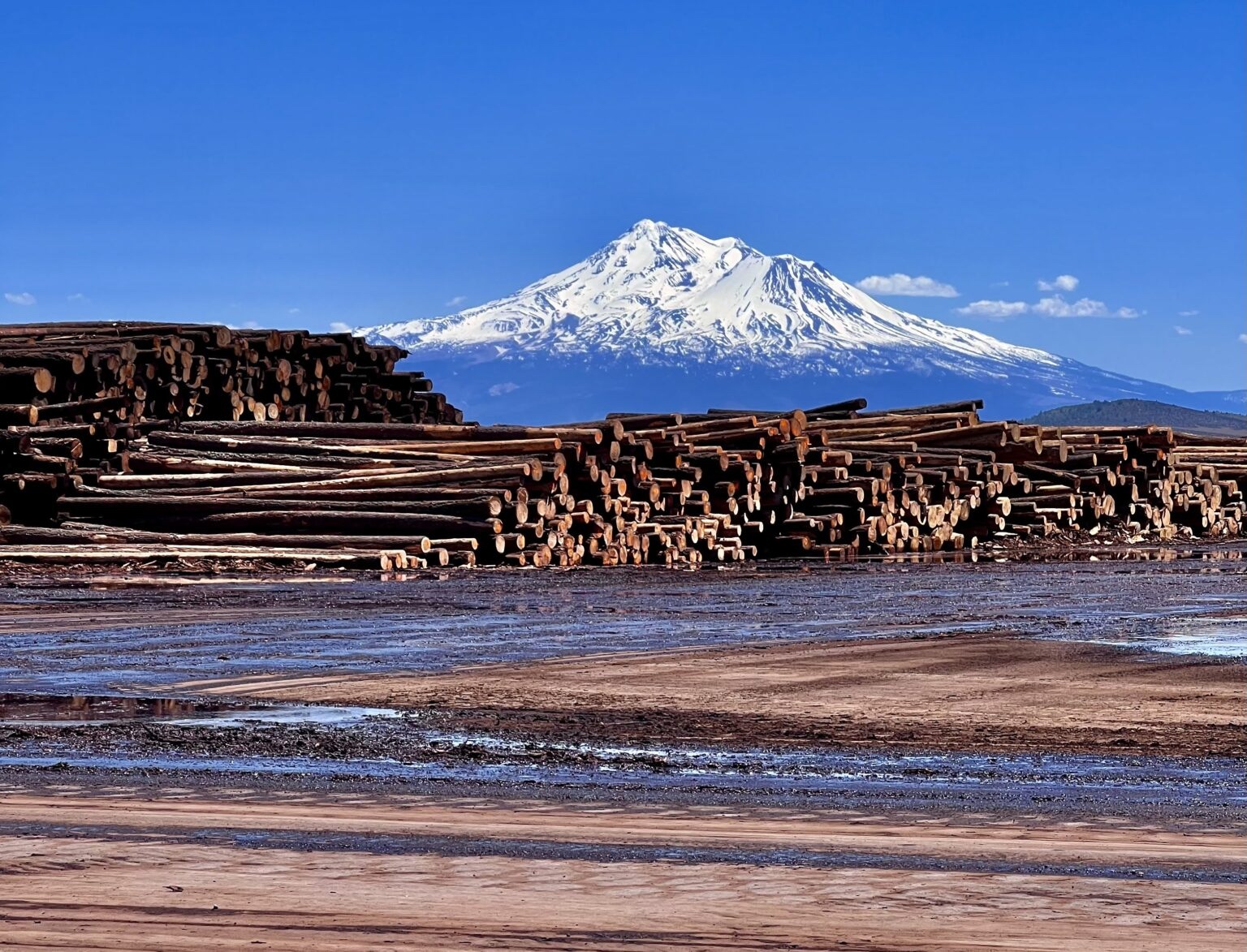
California Air Resources Board Releases 2025 Natural and Working Lands Carbon Inventory
California Air Resources Board Releases 2025 Natural and Working Lands Carbon Inventory
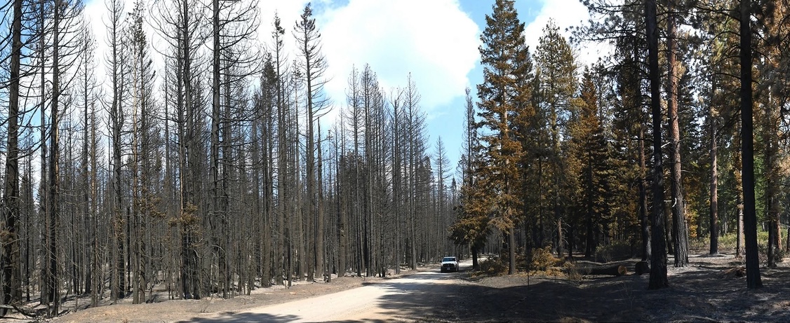
February 11, 2026 – The California Air Resources Board (CARB) released a state-of-the-science inventory of carbon stocks and carbon stock change from all lands in California, as well as harvested wood products. This release represents the most comprehensive estimate ever done of California’s carbon stocks in natural working lands, and also includes a supplemental report on the effects of wildfire and forest management on greenhouse gas emissions and carbon stock change. The inventory shows that even with catastrophic wildfires occurring more recently, the state’s natural and working lands have absorbed more carbon than they released since 2001, helping counterbalance emissions from those fires. In most years, emissions from wildfire were lower than rates of uptake due to net primary production. However, in 2008, 2020, and 2021, wildfire emissions greatly exceeded net uptake by trees, shrubs, plants, and grasses.
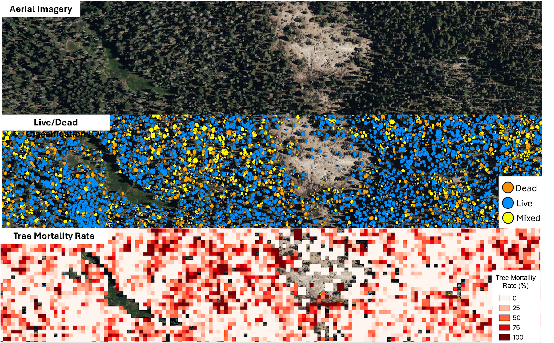
California Unveils First-ever Statewide LiDAR Maps
California Unveils First-ever Statewide LiDAR Maps
December 12, 2025 – The California Natural Resources Agency (CNRA), in partnership with the California Air Resources Board (CARB), NASA Ames Research Center, and the Wildfire and Forest Resilience Task Force announced the public release of consistent, statewide datasets on forest and vegetation conditions built from LiDAR, the gold standard for forest and vegetation information. This release is powered by the Wildfire, Ecosystem Resilience, and Risk Assessment Initiative (WERK) which has processed more than 100 million acres of LiDAR data across California. That total includes 40 million acres collected through CNRA’s use of $30M dedicated by the State Legislature for wildland remote sensing. For the first time, California has a single wall-to-wall picture of forest and vegetation conditions that is the highest resolution available and consistent across the entire state. Agencies, tribes, researchers, land managers, and community partners can begin incorporating the released products into their own tools, models, and planning processes immediately.
LiDAR (light detection and ranging) creates detailed three-dimensional maps of the landscape. Using LiDAR, the WERK initiative provides information on where trees and shrubs are, how tall and dense they are, where ladder fuels can carry fire into the canopy, and how much carbon is stored in vegetation. The statewide release includes 10-meter and 30-meter resolutions datasets that cover all of California. In addition, 1-meter datasets are already available in select areas, with statewide access to ultra-high resolution data launching in early 2026.
The WERK datasets are being hosted in partnership with the Wildfire Science & Technology Commons at the San Diego Supercomputer Center, supported by the National Science Foundation. These products will also be incorporated into the Task Force’s California Landscape Metrics beginning with the next data refresh.
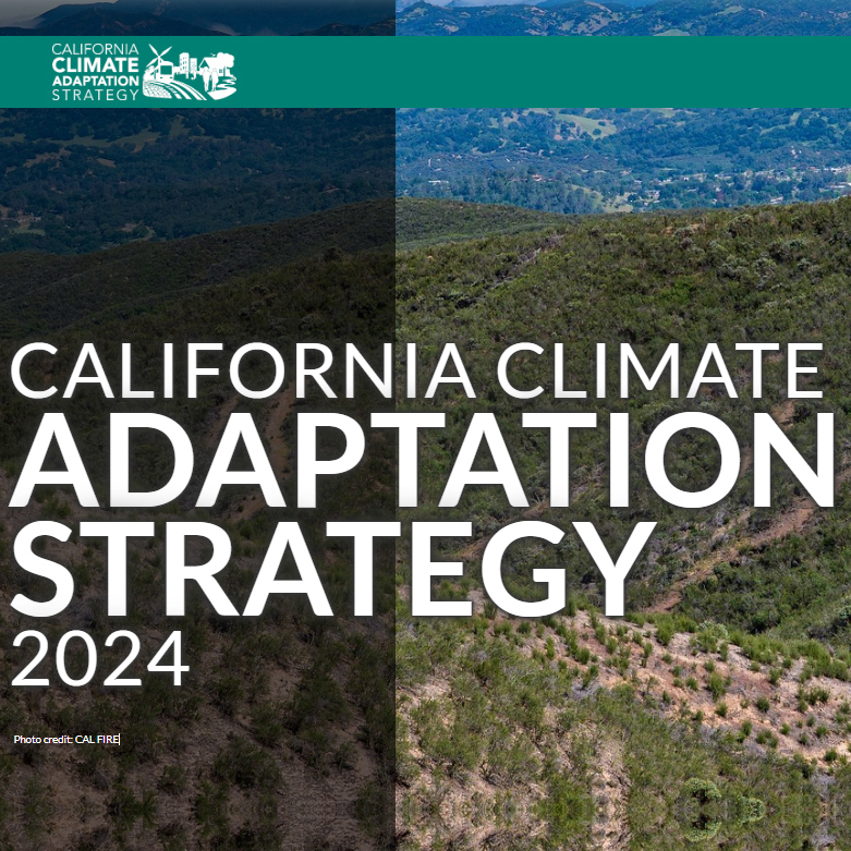
Governor Newsom Unveils California’s Updated Climate Adaptation Strategy
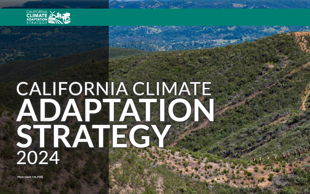
Governor Newsom Unveils California’s Updated Climate Adaptation Strategy
September 4, 2025 – Governor Newsom unveiled California’s updated Climate Adaptation Strategy — the state’s overarching framework to better protect communities and nature from dangerous climate impacts. California last updated the Strategy in 2021. The updated strategy sets strategic direction through six priorities:
- Protecting communities most vulnerable to climate change
- Improving public health and safety to protect against increasing climate risk
- Building a climate-resilient economy
- Expanding nature-based climate solutions and strengthening the resilience of natural systems
- Making decisions based on best available climate science
- Partnering and collaborating to leverage resources
These priorities are supported by cross-cutting climate resilience actions, each with associated success metrics. The strategy aligns with and builds on the goals set forth by California’s Wildfire and Forest Resilience Action Plan and includes the following actions specific to wildfire resilience:
- Prioritize actions that reduce wildfire risks to California Native American tribes and climate vulnerable communities.
- Support wildfire-prone communities by increasing the capacity of local and regional partnerships to build and maintain a pipeline of forest health and fire prevention projects.
- Invest Community Development Block Grant Disaster Recovery funds in long-term disaster recovery and resilience building that targets the unmet housing recovery needs of low and moderate-income households in a way that mitigates disaster risk and reduces future losses among vulnerable communities.
- Reduce health impacts of wildfire and prescribed fire smoke.
- Reduce the risk of energy infrastructure-related ignitions that lead to catastrophic wildfire.
- Bring to scale a thriving forest and wood products market in California that leverages public investments by energizing private capital for sustainable forest management, regional economic recovery, and climate resilience.
- Increase the pace and scale of wildfire resilience and forest health projects.
- Reduce risks of wildfire through increased use of fuel breaks and fuels reduction.
- Assist the federal government in scaling up forest treatments by supporting collaborative forest management and encouraging landscape level planning.
- Coordinate and guide prescribed fire and cultural fire activities and address the key barriers to its widespread use in California.
- Expedite permitting processes for wildfire and forest resilience projects using exemptions or the California Vegetation Treatment program.
- Invest in science-based management focused on climate resilience of California’s fire adapted landscapes.
- Improve wildfire smoke guidance for schools, children, and other vulnerable populations. Develop outreach materials for health care providers and the public on wildfire smoke health effects and ways to decrease exposure.
- Collaborate with federal, state, tribal, and private partners to increase pace and scale of restoration of fire-adapted lands and maximize the climate resilience benefits of these treatments.
- Leverage federal funding to support fire-hardening roads and communities.
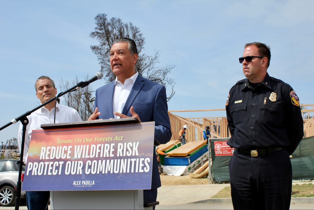
Senator Padilla and Western Senators Introduce Fix Our Forests Act to Reduce Wildfire Risk
Senator Padilla and Western Senators Introduce Bipartisan Fix Our Forests Act to Reduce Wildfire Risk
April 11, 2025 – U.S. Senator Alex Padilla (D-Calif.), co-chair of the bipartisan Senate Wildfire Caucus and Senators John Curtis (R-Utah), John Hickenlooper (D-Colo.), and Tim Sheehy (R-Mont.) introduced the Fix Our Forests Act. This bipartisan legislation aims to combat catastrophic wildfires, restore forest ecosystems, and make federal forest management more efficient and responsive. The bill reflects months of bipartisan negotiations to find consensus on how to best accelerate and improve forest management practices, streamline environmental reviews, and strengthen partnerships between federal agencies, states, tribes, and private stakeholders. Key provisions specific to California include:
-
- Establishing a Wildfire Intelligence Center to serve as a national hub for wildfire intelligence, prediction, coordination, and response. This joint office would be comprised of the Departments of Agriculture, the Interior, and Commerce that is modeled after the National Weather Service. The center would modernize and unify wildfire management by leveraging real-time data, science, and interagency collaboration to better prepare for wildfires, assist with decision-support during a crisis, inform recovery, and streamline federal wildfire response.
-
- Establishing an interagency program to coordinate federal wildfire risk reduction efforts across 10 federal agencies through research, development of fire-resistant construction standards, hazard mitigation, and public-private partnerships. The program would provide a uniform application for multiple wildfire-related grants, streamline technical assistance, and mandate coordination with non-federal stakeholders.
-
- Increasing the use of prescribed fire on both federal and non-federal lands by prioritizing large, cross-boundary projects near wildland-urban interfaces, Tribal lands, high-risk fire zones, or critical habitats. It also strengthens the prescribed fire workforce by streamlining supervisory certification requirements and enhancing interoperability between federal and non-federal practitioners.
-
- Allowing electric utilities with permits or easements on National Forest System or BLM land to cut and remove vegetation near power lines without requiring a separate timber sale (if done in compliance with applicable plans and environmental laws). If the vegetation is sold, proceeds must be returned to the federal government.
-
- Streamlining land management projects by authorizing emergency authorities to increase the pace and scale of wildfire risk reduction projects on federal land. It includes appropriate guardrails to avoid abuse of these authorities and prohibits using emergency authorities for projects not aimed primarily at reducing wildfire risk or protecting communities. This would Increase the acreage limit of streamlined projects for wildfire resilience projects, fuel breaks, and insect and disease projects from 3,000 acres to 10,000 acres.
See Highlights From a Busy Year for the Task Force
ADVANCEMENTS IN MEASURING PROGRESS
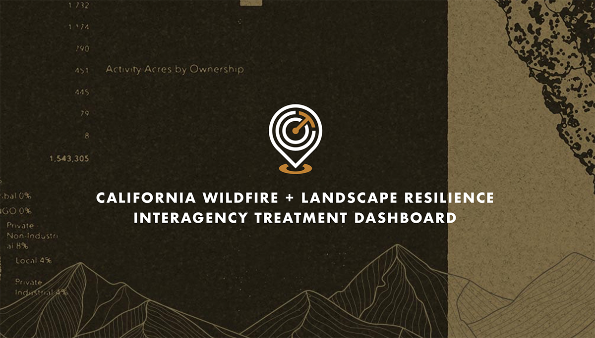
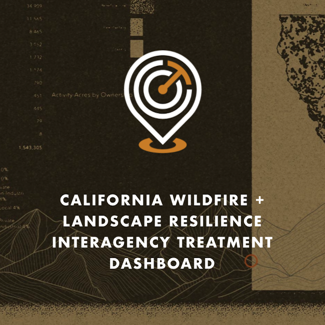
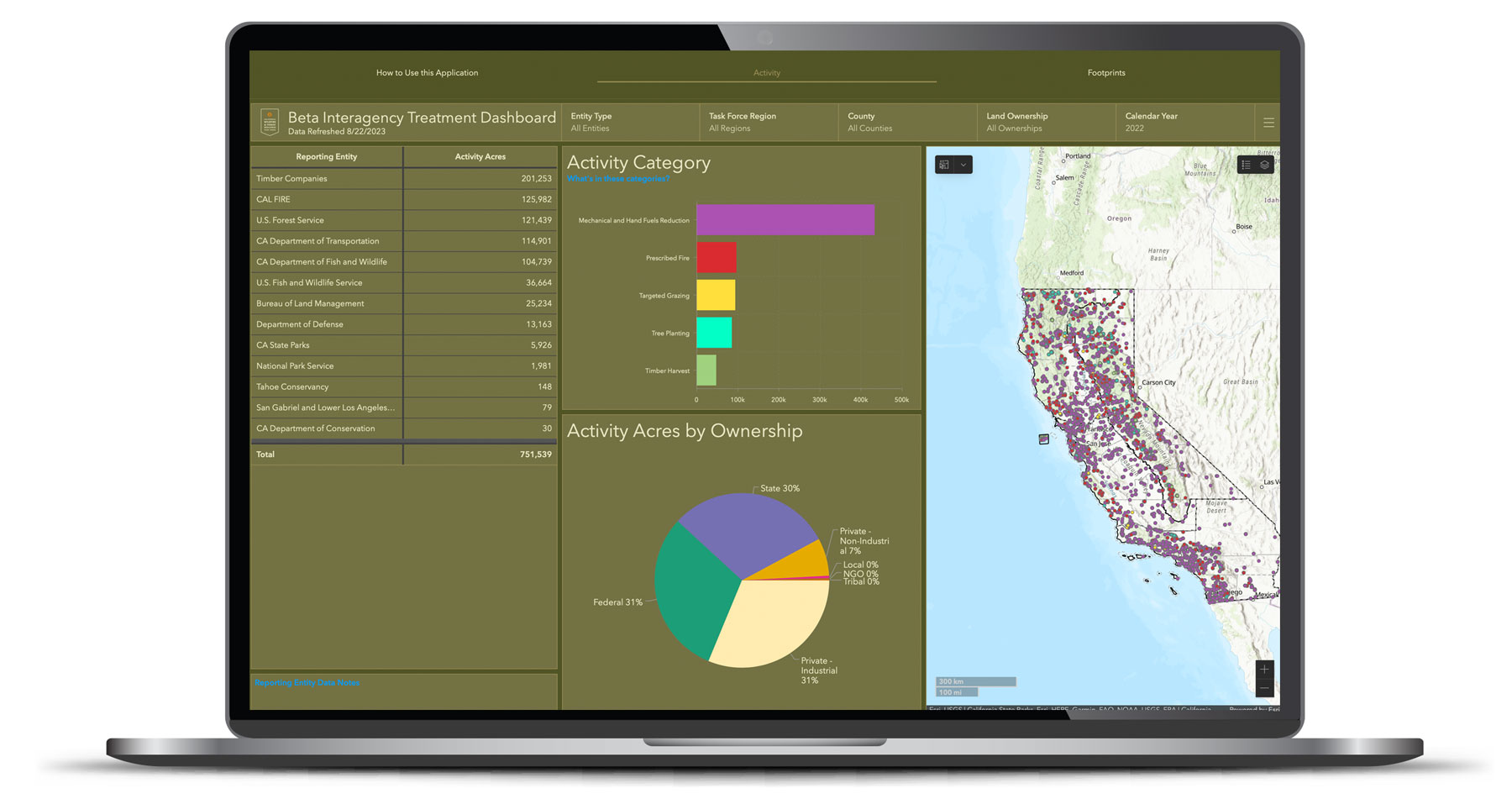
Interagency Treatment Dashboard Shows Progress Toward Resilience
The updated Dashboard shows three years of data with treatments on 700,000 acres in 2023 and prescribed fire acres more than doubling between 2021 and 2023.
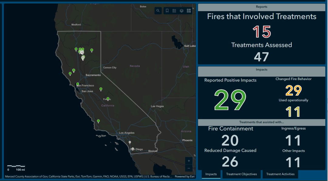
New CAL FIRE Dashboard Shows Effectiveness of Fuels Treatments
The dashboard shows on-the-ground projects protecting communities and landscapes from recent wildfires.
New Webpage Brings Together California’s Wildfire and Landscape Resilience Monitoring and Assessment Programs
Centralized resource provides detailed information on California’s various monitoring and assessment programs to understand the complementary relationship between these efforts.
ABOUT THE TASK FORCE
The California Wildfire & Forest Resilience Task Force was created by the Office of Governor Gavin Newsom to directly confront the near perfect storm of climatic and human-caused conditions that have brought the threat of devastating wildfire and its far-reaching effects to the doorstep of nearly everyone in our state, and beyond.
The Task Force is a collaborative effort to align the activities of federal, state, local, public, private, and tribal organizations to support programs and projects tailored to the priorities and risks of each region and bring the best available science to forest management and community protection efforts.
The critical work of the Task Force effects all Californians, and Task Force meetings offer an ideal opportunity for members of the press to hear directly from those involved in the comprehensive, coordinated efforts to reduce the risk of catastrophic wildfires and create safe communities while ensuring healthier, more sustainable natural environments.
MORE 2024 HIGHLIGHTS
California Passes Proposition 4 – Providing $1.5 Billion for Wildfire Resilience
The approval of Prop 4 is a major advancement for California to reach goals set in the Wildfire and Forest Resilience Action Plan.
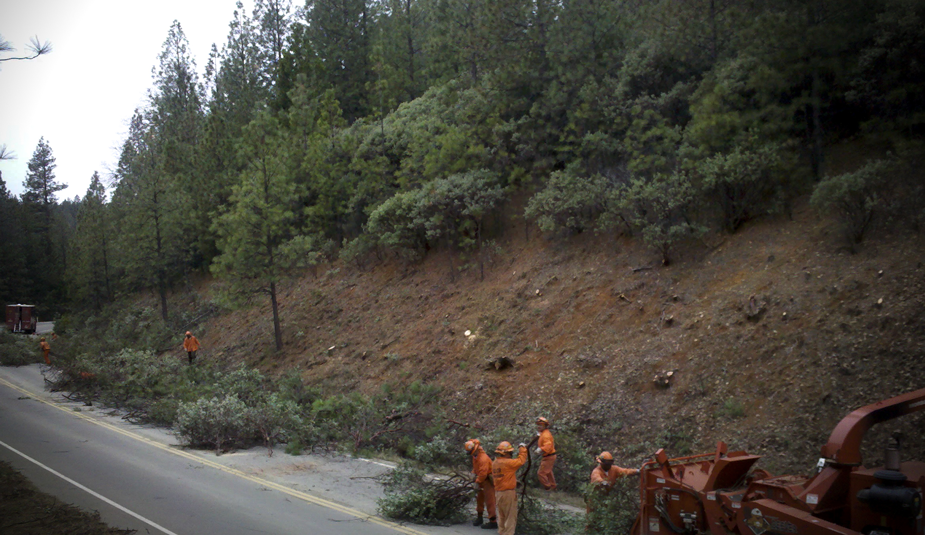
U.S. Forest Service Completes Record Setting Year for Prescribed Fire
The U.S. Forest Service successfully treated over 72,000 acres with prescribed fire in California during the 2024 fiscal year.

Leading Researchers Share Science Synthesis to Drive California’s Actions to Improve Wildfire Resilience
At the December 13 meeting in Sacramento, a panel of scientists presented new findings to guide California’s efforts to respond to increasing wildfire risks in a changing climate.
Regional Meetings in San Diego and Lake Tahoe
Two regional meeting were held in 2024, along with two more in Sacramento. Hundreds of people came away from the meetings having learned new information, and having made new connections, and inspired to make positive change.
Join Us at our Upcoming Meetings
• March 27 & 28: Marin County
• June 6: Sacramento
• September 4 & 5: TBD
• December 12: Sacramento
SPREAD THE WORD IN 2025
Promote the Task Force in Your Communications
Task Force communications provides an important source of vital information that covers the combined effort of all organizations involved in landscape resilience and the prevention of wildfires in California. Please follow and share Task Force communications when you can.
Share the Task Force E-Newsletter
Do you know someone who will appreciate getting the latest progress from the Task Force? Click below to help others stay in the know.
USFS Study Shows How Fuel Treatments Improve Wildfire Outcomes
USFS Pacific Southwest Research Station (PSW) Study Shows How Fuel Treatments Improve Wildfire Outcomes
PSW researchers recently published findings that provide strong evidence for the use of fuel treatments to mitigate fire behavior and resulting fire severity even under extreme fire weather conditions. When the 2021 Antelope Fire tore through the Goosenest Adaptive Management Area (long-term research plots set up in northeastern California in the late 1990s), it seemed that 20 years worth of research had been lost. However, shortly after the fire a 2,300-acre study was conducted that demonstrates how reducing canopy bulk density via mechanical thinning treatments can help to limit crown fire behavior for 20 years or more. The findings make a compelling case for doing both tree thinning and prescribed burning to protect forests in the future.
CA Climate Hub Receives USFS Region 5 Partnership of the Year Award
California Climate Hub Receives USFS Region 5 Partnership of the Year Award
The USDA Forest Service Region 5 awarded the California Climate Hub the 2023 Honor Award for Partnership of the Year for their efforts to develop and deliver climate literacy and web-based climate tools trainings. The trainings familiarized participants with relevant information on climate and climate models and provided hands-on experience using two web-based climate data tools: Cal-Adapt and Climate Toolbox. Additionally, the California Climate Hub has designed and delivered a series of workshops focused on the applications of the California Wildfire and Forest Resilience Task Force’s Regional Resource Kits. The most recent workshop gathered forest managers from local, state, and federal agencies at Shasta-Trinity National Forest in Redding.
Explore the Treatment Dashboard - Take The Survey
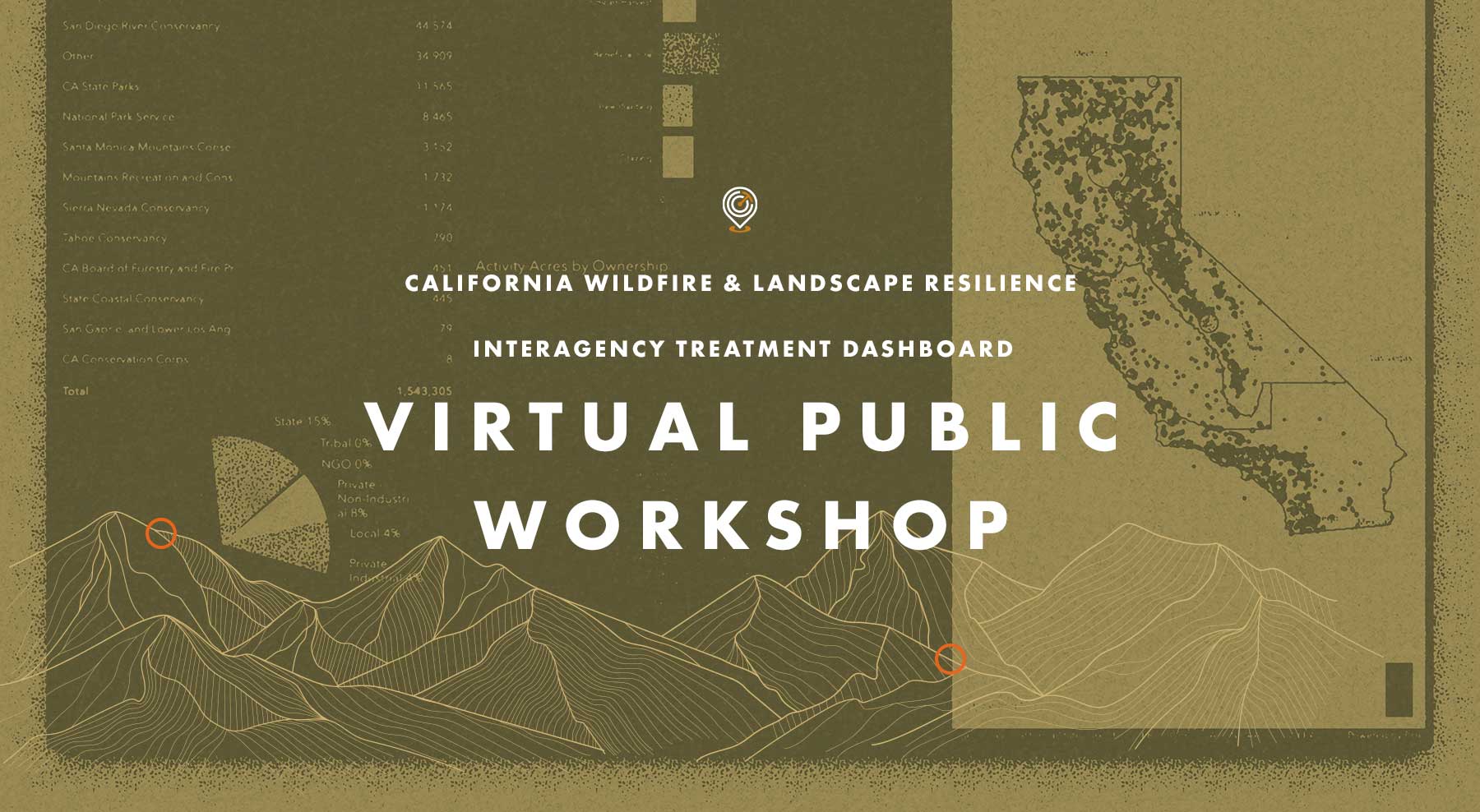
Recap: Treatment Dashboard Virtual Workshop
On Tuesday, November 14 the Task Force hosted a Virtual Public Workshop on the CA Wildfire & Landscape Resilience Interagency Treatment Dashboard. The goal of the workshop was to gather input from those using the Treatment Tracking System and Dashboard to improve how data is accessed and displayed, and to ensure we are providing transparency and effective planning information on statewide wildfire resilience treatments.
If you missed the workshop, or want to look back at what was covered, click on the buttons above to watch a video of the presentation from Alan Talhelm, Assistant Deputy Director for Climate and Energy at CAL FIRE, and a key architect of the Dashboard. You can also view and download Alan’s presentation and take a moment to answer a quick survey for gathering additional input on how the Dashboard can be most effective.
$287 Million Available in CAL FIRE Grants for Wildfire Prevention and Forest Health
$287 Million Available in CAL FIRE Grants for Wildfire Prevention and Forest Health
$117 million will be allocated through CAL FIRE’s Wildfire Prevention Grant Program. Awarded projects will address the risk of wildfire and reduce wildfire potential to communities. Funded activities will include hazardous fuel reduction, wildfire prevention planning, and wildfire prevention education with an emphasis on protecting communities, improving public health and safety, while reducing greenhouse gas emissions. CAL FIRE also conducted a virtual workshop (watch it here) to explain the grant process and requirements. Applications are due January 10, 2024.
$120 million for Forest Health and $50 million for Post-Fire Reforestation and Regeneration projects are open for the solicitation through CAL FIRE’s Forest Health Program. Projects are intended to proactively prevent catastrophic wildfires and restore forests to healthy, functioning ecosystems while also sequestering carbon and reducing greenhouse gas emissions. Applications are due January 15, 2024.
New Online Treatment Dashboard to Track Wildfire Resilience Projects
New Online Treatment Dashboard to Track Wildfire Resilience Projects
On August 29, the Governor’s Wildfire and Forest Resilience Task Force launched the beta version of a first-of-its-kind Interagency Treatment Dashboard beta that displays the size and location of state and federal forest and landscape resilience projects in California.
The dashboard offers a one-stop-shop to access data, provide transparency, and align the efforts of more than a dozen agencies to build resilient landscapes and communities in California. It reports treatment activities such as prescribed fire, targeted grazing, uneven-aged timber harvest, mechanical and hand fuels reduction, and tree planting. Users can sort treatments by region, county, land ownership and more.
The beta version of the dashboard will continue to be refined to include additional data, including projects by local and tribal entities, along with revisions based on public feedback. An official launch is expected in spring 2024 with more complete data on projects implemented in 2022.